
Why Wupperinsel Nature Reserve stands out
Wupperinsel is best known for preserving a rare fragment of semi-natural floodplain landscape within a heavily developed urban setting. Its defining character is the combination of a Glatthafer (oat-grass) meadow of conservation significance, a mature line of large poplars along the Mühlengraben side channel, and a mosaic of shrub and mixed-wood field groves that have developed around the wastewater facility on the northern part of the island. The reserve is also known within local nature conservation circles as the only documented occurrence of Schlangenknöterich (Persicaria bistorta) in Leverkusen, as well as the city's sole Glatthafer meadow classified under a formal LRT (habitat type) assessment. These features give a small urban floodplain island an outsized role in the regional ecological network along the Wupper.
Wupperinsel Nature Reserve history and protected-area timeline
The landscape and ecological values of the Wupper floodplain in Leverkusen were formally recognised when Wupperinsel was designated as a nature reserve (Naturschutzgebiet) in 1987. The designation was made under a legally binding landscape plan (Landschaftsplan) for the city of Leverkusen, which remains the statutory foundation for the reserve's management.
Despite the site's long history within the working floodplain of the Wupper, including periods when it was regularly inundated by the river, the area had also been affected by heavy-metal contamination from historic industrial and urban activities. The 1987 designation did not erase that contamination, but it did establish a clear conservation framework focused on retaining the surviving grassland and riparian vegetation, preventing cultural eutrophication, and encouraging the further development of near-natural field groves.
Since 1987, the reserve's administration has remained with the Untere Landschaftsbehörde (lower landscape authority) of the city of Leverkusen, and its boundaries and identifier (LEV-012) have been carried into the state's modern Fachinformationssystem for nature conservation.
Wupperinsel Nature Reserve landscape and geographic character
The landscape of Wupperinsel is shaped by the riverine setting of the Wupper, which forms the island by way of the left side channel, the Mühlengraben. Both channels bound the reserve on flat ground at roughly 50 metres in elevation, characteristic of the low floodplain in this section of the Wupper.
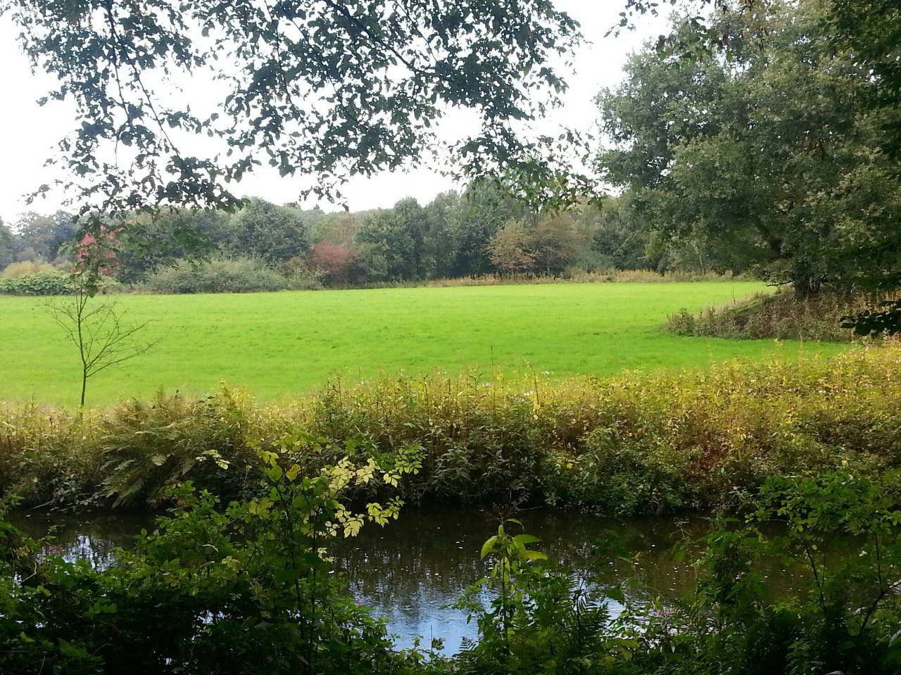
The island's topography is essentially level, but it is visually and ecologically structured by the contrast between open grassland in the south, the wooded embankment of the Mühlengraben, and the operational infrastructure in the north. The southern portion is dominated by an oat-grass (Glatthafer) meadow that is relatively species-poor but regionally significant, while the embankment of the side channel carries an old, intact strip of tall poplars, giving the island a distinctly wooded river-edge character.
The southern tip of the island has accumulated neophyte-dominated tall herb communities, marking a transition zone between meadow and disturbed floodplain edge. Around the operational grounds in the north, a field grove of mixed broadleaved woodland has established itself, including a mosaic of shrubby edges and small artificial ponds on a gravel layer above an underground retention basin. These contrasting patches combine to give the small island a recognisably layered floodplain landscape.
Wupperinsel Nature Reserve ecosystems, habitats, and plant life
From an ecological perspective, Wupperinsel functions as a small but unusually diverse floodplain habitat complex. Its habitat mosaic includes traditionally managed mesophilic grassland, a near-natural riparian woodland strip dominated by mature poplars, secondary mixed broadleaved forest around operational land, neophyte-dominated tall herb stands, and a set of small artificial ponds situated on a roofed retention basin.
The reserve's most important ecological asset is its Glatthafer meadow, which is described as the only Glatthafer meadow with a formal habitat type classification within Leverkusen, and therefore of disproportionate regional importance for grassland conservation. The accompanying Schlangenknöterich (Persicaria bistorta) population, documented at this site, is the city's only known occurrence and underscores the site's role in safeguarding uncommon meadow species.
The mature poplar strip along the Mühlengraben embankment provides important structural features, including standing dead wood that supports saproxylic invertebrates, while the developing mixed forest and shrub edges around the wastewater facility have begun to fill in former open ground with near-natural woodland. Standing water in the artificial ponds adds a small but ecologically relevant aquatic element. Together, these features make the reserve a compact example of multi-habitat floodplain ecology.
Wupperinsel Nature Reserve wildlife and species highlights
The source material for Wupperinsel emphasises habitat significance more than species-level detail, which is consistent with the reserve's small size and urban surroundings. Wildlife values are nonetheless closely tied to the structural features of the island: mature poplars with standing dead wood, a continuous riparian woodland edge, a developing mixed-wood field grove with shrub layers, and small open water bodies on the retention basin roof.
These structural features are most relevant for invertebrates dependent on decaying wood, for riparian and shrub-nesting birds typical of small urban floodplain woodlands in the Rhine-Ruhr region, and for generalist urban wildlife that uses the Mühlengraben and the main Wupper channel as ecological corridors. The neophyte-rich tall herb vegetation at the southern tip of the island adds further nesting and foraging opportunities for insects and small passerines.
While the reserve is not positioned as a flagship wildlife site, its mosaic of grassland, woodland, dead wood, scrub, and standing water supports a functional urban floodplain fauna that complements the broader ecological corridor along the Wupper.
Wupperinsel Nature Reserve conservation status and protection priorities
Wupperinsel is recognised as a locally significant component of the ecological network along the Wupper River, which is itself an FFH (Fauna-Flora-Habitat) protected area. Within that wider corridor, the reserve plays a role in maintaining habitat connectivity, although it is a very small island compared with the broader landscape.
Conservation objectives, as documented in the NRW Fachinformationssystem, centre on three priorities: retaining the existing grassland surface as the only formal Glatthafer meadow within Leverkusen, preventing excessive eutrophication that would shift the meadow toward more nutrient-demanding vegetation, and supporting the further near-natural development of the field groves around the wastewater facility. The retention of standing dead wood within the old poplar stand is also explicitly called for, both as a habitat feature and as a structural legacy of the original floodplain woodland.
A continuing concern is the historic heavy-metal contamination of soils resulting from regular past flooding by the industrially used Wupper, and the management of the site balances ecological recovery with the practical constraints of a working urban floodplain.
Wupperinsel Nature Reserve cultural meaning and human context
Wupperinsel sits within Leverkusen, a city whose identity has been strongly shaped by the chemical industry along the Wupper. The presence of a designated nature reserve on a floodplain long affected by industrial and urban land use reflects the layered German tradition of integrating strict nature protection (Naturschutz) with the working cultural landscape.
The very name Mühlengraben, the side channel bounding the island, hints at the site's older cultural role as part of the watermill infrastructure that historically operated along the Wupper. The retention basin and wastewater infrastructure on the northern part of the island represent the modern continuation of that tradition of using the floodplain for water management.
Although the site does not carry a specific narrative of indigenous or deep historical land use, it is a small but emblematic example of how a heavily industrialised German city has preserved, and continues to manage, fragments of its original floodplain landscape within a legally defined nature conservation framework.
Top sights and standout views in Wupperinsel Nature Reserve
Wupperinsel's standout features lie in the density of ecologically meaningful habitats packed into a very small urban floodplain island: a regionally unique Glatthafer meadow, the only documented Schlangenknöterich population in Leverkusen, a mature line of large poplars with retained standing dead wood, a developing mixed-wood field grove around urban water infrastructure, and small artificial ponds on a retention basin roof.
The reserve is equally notable for what it represents in regional conservation terms: a compact, legally protected biological stepping stone embedded in the FFH-relevant corridor of the Wupper River. Long-term management priorities emphasise preventing eutrophication, preserving dead-wood structures, and supporting natural woodland succession around the operational areas, giving the reserve a clear trajectory toward a near-natural floodplain character despite its urban context.
Best time to visit Wupperinsel Nature Reserve
The seasonality of a visit to Wupperinsel is shaped primarily by the rhythm of its grassland and riparian woodland rather than by visitor infrastructure. Late spring through early summer typically brings the Glatthafer meadow into its most characteristic flowering phase, when the open character of the meadow and the contrast with the tall poplars along the Mühlengraben are most visible.
Late summer and early autumn tend to highlight the tall herb and neophyte communities at the southern tip of the island, and can also draw insect and bird activity into the shrub and woodland edges. Winter visits, when deciduous cover is reduced, can make the structural features of the poplar strip and the developing mixed grove easier to observe, although paths and conditions may be less comfortable after floodplain inundation.
Because the reserve is a small, ecologically sensitive area within an urban setting, gentle, low-impact visits at any time of year are appropriate; the experience is primarily observational rather than activity-driven.