
Mori Atlas logo
Park guides

Available thematic guides for navigating the geography and subarctic terrain of the Komi Republic wilderness.

Expert Guides for Yugyd Va National Park: Landscape Exploration and Seasonal Planning

The collection of guides for Yugyd Va National Park provides essential context for understanding the vast boreal forests and alpine peaks of the Komi Republic. These materials assist with seasonal planning, helping to navigate the geography and remote environmental conditions characteristic of Europe's largest national park.

Related tags

Boreal forestNorthern UralsTaiga wildernessUNESCO World Heritage SiteMountain ecosystems

Europe's largest protected taiga wilderness in the northern Urals

Yugyd Va National Park

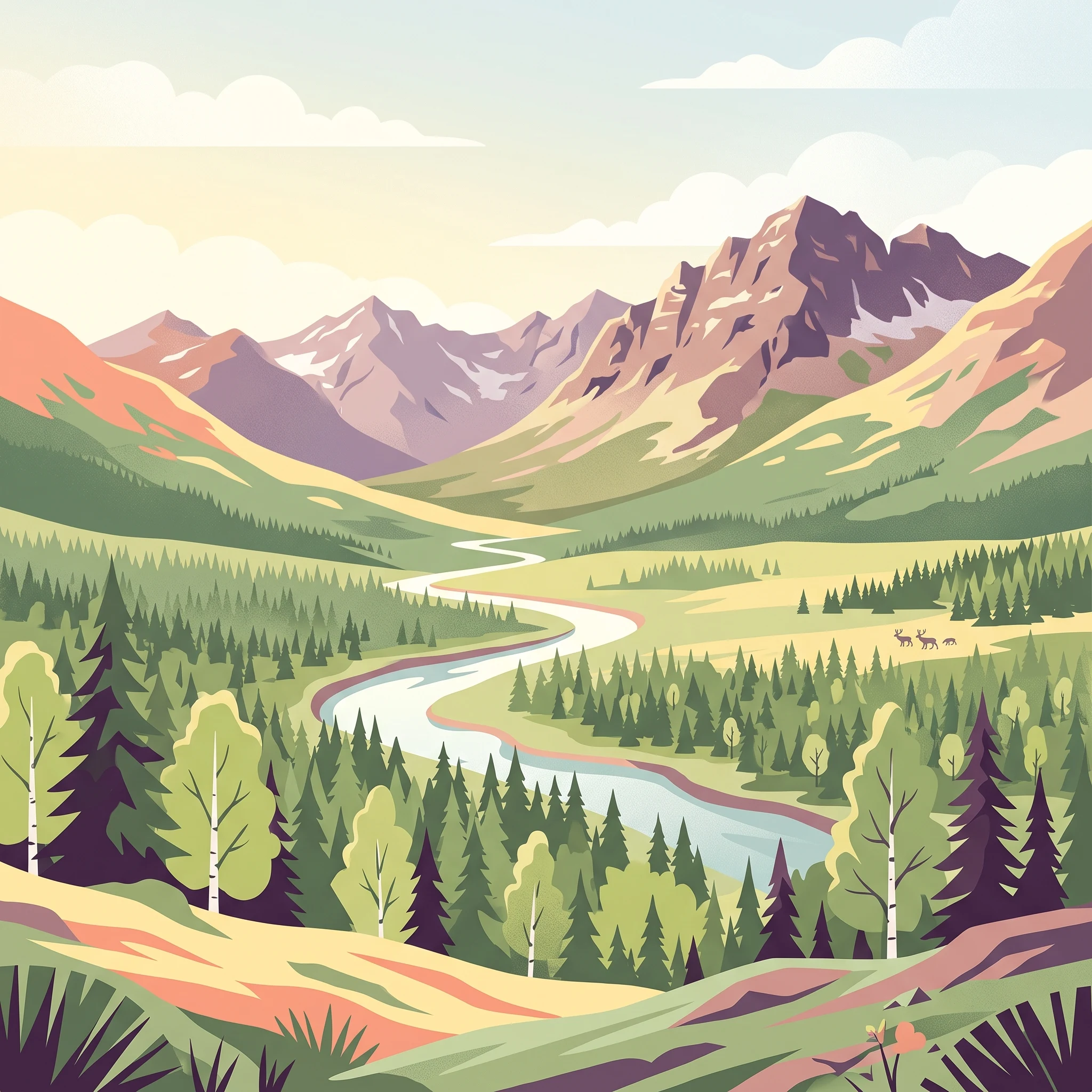
Yugyd Va National Park represents one of Europe's most significant wilderness protection achievements, established in 1994 to safeguard the extraordinary taiga forests of the northern Urals. The park's enormous extent of nearly 19,000 square kilometers makes it the largest protected area on the European continent, a distinction it held until the creation of Beringia National Park in 2013. Located entirely within the Komi Republic, a vast territory of boreal forest and tundra in northwestern Russia, Yugyd Va occupies a transitional landscape where the Ural Mountains reach their northernmost substantial elevations before descending toward the Arctic lowlands. The park's territory spans three distinct physical-geographic zones: mountain terrain rising to the highest peaks of the Urals, foothill regions of rough terrain and forest, and lowland areas of valley bottoms and river plains. This topographic diversity supports an exceptional range of ecological communities, from riparian forests along the major river corridors to alpine tundra on exposed summits. The park's rivers—the Bolshaya Synya, Kozhim, Synja, Vangir, and Kosya—drain westward from the Ural watershed and join the Pechora River system, flowing north to the Barents Sea. This hydrological connection links the park to one of Europe's largest river systems and underlines its importance as a headwater protection area.

Location
Russia
Park type
National park
Established
1994
Area
18,917 km²
Highest point
1,894 m
Yugyd Va National Park Geography
1 guide

Compare published thematic guides to answer specific subarctic travel questions.

Yugyd Va National Park Published Guide Collection and Planning Resources

Browse the complete collection of published guides dedicated to Yugyd Va National Park for targeted reference material. Each available resource focuses on specific seasonal planning parameters, including optimal summer windows and subarctic climate conditions.
MoriAtlas Explorer

Continue Exploring the Protected Landscapes and Ural Geography of Yugyd Va National Park

Deepen your understanding of Yugyd Va National Park by examining its protected mountain terrain and boreal forest distribution. MoriAtlas provides a clear view of the park boundaries and natural features within the Komi Republic, helping you trace the significant watersheds and alpine summits that characterize this vast wilderness.

Global natural geography