Kenya: parks and protected areas
Parks and protected areas in Kenya, including Amboseli and Mount Kenya.
26 parks

Trace park locations and mapped boundaries across Uganda's diverse landscapes.
Locate parks and protected areas in Uganda, then select a park to open its profile.
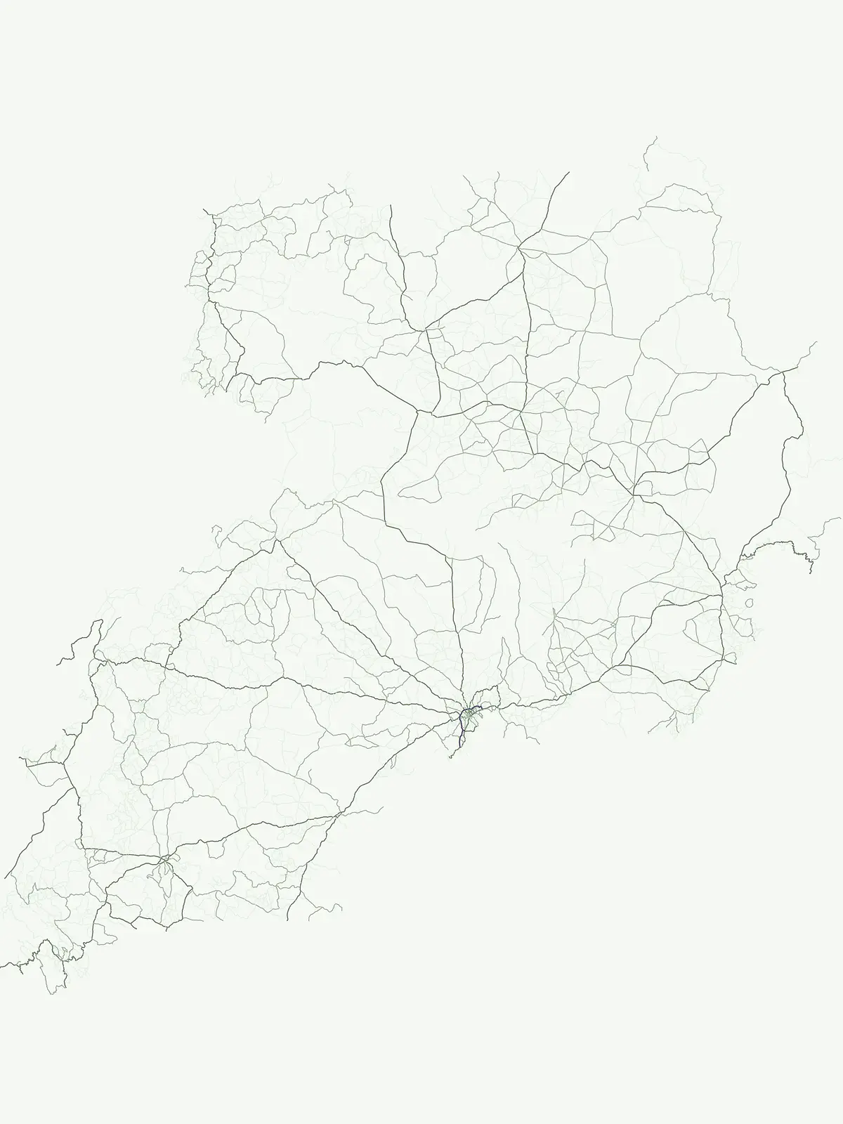
Mapped protected landscapes and park geography across Uganda.
Interactive map of parks and protected areas in Uganda.
Explore matching national parks through clustered map points and detailed park profiles.
Extend your atlas exploration, comparing national park geography and protected landscapes across East Africa and other countries.
Parks and protected areas in Kenya, including Amboseli and Mount Kenya.
Parks and protected areas in Tanzania, including Serengeti and Mount Kilimanjaro.
Parks and protected areas in Ethiopia, including Simien and Bale Mountains.
Parks and protected areas in Democratic Republic of the Congo, including Virunga and Salonga.
Parks and protected areas in South Sudan, including Southern and Boma National Park.
Parks and protected areas in Rwanda, including Akagera and Nyungwe.
Parks and protected areas in Congo, including Odzala and Ndoki.

Parks and protected areas in Burundi, including Kibira National Park and Ruvubu.
Open the park list for Uganda to explore locations and park characteristics.