
Mori Atlas logo
Country parks

Discover the geographic distribution of natural landscapes and protected lands across Uganda.

Explore Uganda National Parks and Protected Areas: A Mapped Browse Guide

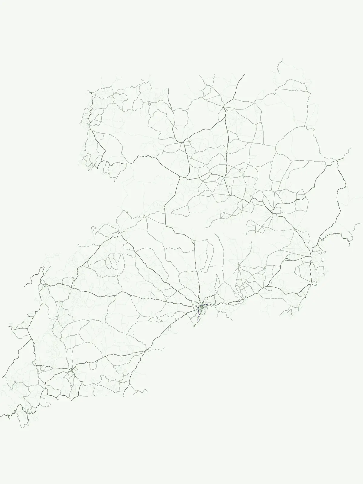
Embark on a geographic exploration of Uganda's protected natural areas, focusing on its national parks and broader conservation landscapes. This atlas-focused view highlights the distribution of these significant regions across the country, offering a clear perspective on Uganda's mapped territories. Understand the spatial context of Uganda's parks, from savanna ecosystems to montane forests, all within their regional geographic framework.

Explore Uganda National Parks and Protected Areas: A Mapped Browse Guide

Trace the Geographic Spread of Uganda's Nature Reserves and Conservation Zones

Uganda National Parks and Protected Areas: Explore East Africa's Conservation Landscapes

Browse a comprehensive index of Uganda's national parks, protected areas, and various nature reserves. Gain insight into the mapped geography and conservation landscapes spanning this East African nation, from the Rift Valley to the Lake Victoria basin.

Showing 1 to 13 of 13 parks

Loading results
National parkKanungu DistrictMountain

Bwindi Impenetrable National Park

Explore its protected landscape and regional context.

Delve into the protected landscape of Bwindi Impenetrable National Park, a protected area situated within Kanungu District, Uganda. This detail page offers a deep dive into its geographic setting, presenting mapped park boundaries and natural terrain features essential for understanding its role within the regional atlas. Discover the specific environmental context of this national park for robust map-based exploration.

331 km²1991TropicalModerate access

National parkUgandaMountain

Rwenzori Mountains National Park

Mapped terrain, glacial landscapes, and high altitude ecosystems in southwestern Uganda.

Rwenzori Mountains National Park protects a spectacular high altitude environment rising abruptly from the African rift valley. The park contains Africa's third highest summit, Margherita Peak, and features a unique array of glacial environments, waterfalls, and lakes. Its five distinct vegetation zones host significant biodiversity and endemic species within a critical transfrontier conservation complex.

998 km²1991IIMajor water bodies
National parkUgandaMountain

Rwenzori Mountains National Park

Explore the mountainous geography of Uganda and its protected high-altitude landscapes.

Defined by massive massifs and retreating glaciers, Rwenzori Mountains National Park features a rare vertical landscape that anchors the geography of western Uganda. Trace the boundaries of this protected area to understand its unique role in supporting biodiversity across distinct vegetation zones, from lowland montane forests to snow-capped summits.

996 km²1991AlpineVI
National parkUganda

Murchison Falls National Park

Explore mapped boundaries and diverse savanna terrain.

Murchison Falls National Park represents a significant protected landscape in Uganda, renowned for the powerful cascade of the Victoria Nile through a narrow gorge. This expansive national park encompasses varied terrain, from savanna woodlands to riparian forests, offering a rich geographic context. Understanding its mapped distribution within the region is key to appreciating its conservation importance and unique natural features, providing a compelling atlas-style entry point for exploration.

3,893 km²1952TropicalAccess unknown
National parkUgandaMountain

Mount Elgon National Park

Explore volcanic terrain, unique cave systems, and diverse montane landscapes.

Mount Elgon National Park offers a rich tapestry of protected landscapes, centered on a dormant shield volcano straddling the Uganda-Kenya border. This park is recognized for its extraordinary botanical diversity and spectacular cave systems, such as Kitum Cave, where wildlife congregates to lick salt. The elevation gradient supports distinct vegetation zones, from dense montane forests to high-altitude heath and moorland, providing crucial habitat and watershed protection. Understanding Mount Elgon National Park through its mapped boundaries and geographic context reveals a unique protected area in East Africa.

1,279 km²1968SubtropicalModerate access
National parkKaramojaMountain

Kidepo Valley National Park

Explore Uganda's expansive national park mapped geography and wildlife

Kidepo Valley National Park represents a significant protected area within the Karamoja region of Uganda. Its rugged terrain features sweeping savannah plains, distinctive granite kopjes, and seasonal river systems, forming a unique geographic tapestry. This park is crucial for understanding the distribution of protected landscapes in East Africa, offering a distinct atlas perspective on its diverse ecosystems and wildlife concentrations across the mapped terrain.

1,442 km²1958SubtropicalRemote access
National parkUganda

Queen Elizabeth National Park

Explore Uganda's National Park map and terrain.

Queen Elizabeth National Park represents a significant protected landscape within Uganda, offering a rich context for geographic exploration. As a national park, its mapped boundaries define a unique area for understanding the region's natural terrain and landscape character. This destination provides structured data essential for atlas-based discovery, allowing users to analyze its geographic positioning and its role within Uganda's conservation areas.

1,978 km²1952TropicalModerate access
National parkUganda

Kibale National Park

Explore mapped boundaries and regional geographic context.

Kibale National Park represents a key protected landscape within Uganda, identified by its national park designation. This entity offers a focused lens for understanding regional geography and the distribution of protected areas across East Africa. Delve into the mapped boundaries and specific landscape character that define Kibale National Park, providing a concrete point of reference for atlas exploration and geographic discovery.

776 km²1993TropicalModerate access
National parkKisoro DistrictMountain

Mgahinga Gorilla National Park

Exploring protected boundaries and volcanic terrain in Kisoro District.

Mgahinga Gorilla National Park covers an essential range of montane forest and alpine zones across three dormant volcanoes in the Kisoro District of Uganda. This protected area functions as a key element of the broader Virunga mountain ecosystem, providing specialized habitats for endangered primate populations and endemic bird species. The dramatic vertical relief from bamboo forests to summit peaks defines this critical segment of the Albertine Rift conservation network.

33.9 km²1991AlpineModerate access
National parkUgandaMountain

Mgahinga Gorilla National Park

Mapping the Virunga Mountains and high altitude conservation terrain.

Located in southwestern Uganda, Mgahinga Gorilla National Park protects a significant portion of the transboundary Virunga ecosystem. The park encompasses the peaks of Mount Muhabura, Mount Gahinga, and Mount Sabyinyo, providing a unique look at the vertical transition of habitats from bamboo forests to alpine zones. Access detailed geographic data and spatial context for one of the most ecologically important protected areas in the Albertine Rift.

33.9 km²1991TemperateII
National parkKiruhura District

Lake Mburo National Park

Explore its mapped boundaries and regional geography.

Delve into the protected landscape of Lake Mburo National Park, situated in Uganda's Kiruhura District. This entry provides essential geographic context, mapping its boundaries and regional setting for users interested in detailed atlas exploration of protected areas and natural landscapes.

260 km²1983IIMajor water bodies
National parkBundibugyo District

Semuliki National Park

Geographic atlas of the Albertine Rift lowland rainforests

Semuliki National Park stands as a singular protected landscape featuring East Africa's most significant lowland tropical rainforest. Situated in the remote Bundibugyo District, the park maps a transition of ecosystems from the dense forest floors to the geothermal mineral pools of the Sempaya area. This protected zone provides a essential study of lowland geography and species biodiversity within the broader context of the Western Uganda rift valley floor.

219 km²1993TropicalRemote access
National parkUganda

Semuliki National Park

A mapped tropical valley wilderness in western Uganda

Semuliki National Park stands as a significant protected lowland rainforest in Uganda, characterized by a flat, humid valley floor and dense forest corridors along the Semuliki River. This area serves as a rare example of Central African ecological communities preserved within an East African landscape, offering extensive data on its unique vegetation patterns and riparian zones.

Other countries

Extend your atlas exploration, comparing national park geography and protected landscapes across East Africa and other countries.

Explore Other Countries with National Parks and Protected Areas Beyond Uganda

Continue your discovery of African national parks and protected areas by exploring country-level geographies related to Uganda's East African context. Browse neighboring nations and continental park landscapes to understand regional conservation efforts and compare diverse protected ecosystems on a broader scale.

Kenya's National Parks and Protected Areas: A Geographic Explorer's Atlas

Navigate the rich geography of Kenya through its network of national parks and protected areas. This resource offers a structured overview of mapped natural landscapes, detailing their distribution and regional context. Understand the geographic scope of conservation efforts and explore the unique terrains that define Kenya's protected lands, providing an essential atlas perspective for geographic discovery.

26 parks

Tanzania's National Parks and Protected Areas: Geographic Discovery and Atlas Navigation

Uncover the breadth of Tanzania's protected lands through a structured geographic lens. This atlas provides detailed insights into the distribution of national parks and conservation areas, highlighting their mapped boundaries and regional contexts. Facilitate your exploration of Tanzania's diverse natural terrain and gain a comprehensive understanding of its protected landscapes.

24 parks

Ethiopia National Parks and Protected Areas: Geographic Atlas Explorer

Navigate Ethiopia's diverse protected areas with our structured geographic explorer. This atlas view provides insight into the mapped locations and regional spread of national parks and conservation lands across the nation, aiding in a comprehensive understanding of its natural landscape context. Explore key protected sites and their relation to the surrounding terrain and geography.

17 parks

Democratic Republic of the Congo National Parks and Protected Areas Geographic Atlas

Delve into the geographic richness of the Democratic Republic of the Congo through its protected natural areas. This atlas provides a structured view of national parks and conservation landscapes, detailing their mapped boundaries and regional context. Understand the distribution of these vital ecosystems across the country, from its vast rainforests to its diverse terrains, offering a foundation for geographic exploration.

11 parks

Explore Rwanda's National Parks and Protected Areas: A Mapped Geographic Atlas

This atlas provides a structured view of Rwanda's national parks and protected areas, focusing on their geographic distribution and landscape context. Users can explore the mapped boundaries of conservation lands, understand their placement within the country's diverse terrain, and gain insight into the regional geography of East Africa's natural heritage. It serves as a direct entry point for map-aware browsing of protected natural areas.

7 parks

South Sudan's National Parks and Protected Lands: Geographic Atlas Overview

Navigate South Sudan's protected natural areas through its geographic structure. This atlas provides a view of national parks and other conservation lands, highlighting their distribution and landscape context within East Africa. Understand the mapped boundaries and regional geography, offering a foundation for exploring the nation's natural heritage and protected zones.

6 parks

Congo National Parks and Protected Landscapes: Mapped Geography Explorer

Delve into the protected natural areas of Congo, presented through a geographic lens. This explorer facilitates the discovery of national parks and other conservation lands, mapping their distribution and regional significance. Understand the landscape context and geographic patterns of protected territories across Congo for informed atlas-based learning.

4 parks

Burundi National Parks and Protected Areas: Geographic Atlas and Landscape Context

Explore the breadth of Burundi's protected natural areas through a structured geographic lens. This atlas provides insight into the mapped boundaries and regional landscape context of the nation's parks and conservation lands. Understand the distribution of protected areas across East Africa's Great Rift Valley, enabling detailed discovery of natural terrain and conservation significance.

3 parks

Protected area types

Continue Exploring Uganda's National Park Designations and Geographic Context

Deepen your understanding of Uganda's protected lands by continuing to explore its specific designation categories. Each represented group offers a unique lens through which to view the country's geography, from mapped park boundaries to regional landscape features, empowering structured atlas-based discovery.

Uganda Protected Area Designations
MoriAtlas Explorer

Continue Refining Your Search for Uganda's Protected Areas and Parks

Deepen your understanding of Uganda's conservation territories by using advanced search filters. Compare the mapped boundaries and landscape contexts of different national parks and protected areas. This route supports detailed exploration for users focused on the geographic distribution and environmental traits of protected lands within Uganda.

Global natural geography






