Mori Atlas logo
Countries

Explore the geographic distribution and boundaries of protected lands across Burundi.

Burundi: parks and protected areas

Explore maps and profiles of protected areas in Burundi, including Kibira National Park and Ruvubu.

Burundi: parks and protected areas
Park system

National Parks and Protected Areas in Burundi: A Park System Snapshot

Analyzing conservation scale, historical age, and ecological habitats across Rift Valley reserves

Active park records from the Burundi protected-area network help researchers analyze land coverage, historical establishment eras, and regional conservation designations. Aggregated metrics highlight the typical park size, prevalent climatic zones, and dominant ecosystem types compiled within current geographic records.

Known protected area

998 km²

Area data available for 3 of 3 parks.

Median park size

400 km²

Median across 3 parks with known area.

Oldest known park

Established in 1980.

Largest known park

Recorded area: 508 km².

Designation distribution

Habitat distribution

Climate distribution

About

Mapped Landscapes and Regional Context for Burundi's Key Protected Zones

National Parks and Protected Areas in Burundi: An East African Conservation Atlas

Explore Burundi's national parks and protected areas, a diverse array of conservation landscapes within this landlocked East African country. Browse the geographic distribution of protected sites, from the Great Rift Valley to Lake Tanganyika, for detailed atlas-style discovery.

Burundi is a landlocked East African country with a population of over 14 million people. Located in the Great Rift Valley, it borders Rwanda to the north, Tanzania to the east and southeast, and the Democratic Republic of the Congo to the west. Lake Tanganyika lies along its southwestern border. The capital is Gitega and the largest city is Bujumbura.

Burundi is a landlocked country in East Africa situated in the Great Rift Valley. It has a population of over 14 million and is one of the most densely populated countries in Africa. The country shares borders with Rwanda, Tanzania, and the Democratic Republic of the Congo, and has access to Lake Tanganyika. Burundi has a complex history, having been an independent kingdom for over 200 years before becoming a Belgian colony and gaining independence in 1962. The population consists primarily of Hutu, Tutsi, and Twa ethnic groups.

Largest city:Bujumbura
Currency code:BIF
ISO code:BI
Parks count
3
Capital
Gitega
Area
27,834 km²
Population
14,151,540 (2,024)

Coastal
Island
Mountainous
Landlocked
Park atlas3 parks

Map Burundi's diverse park geography, tracing Great Rift Valley ecosystems and Lake Tanganyika's wetlands.

National Parks and Protected Areas in Burundi: Browse East Africa's Conservation Landscapes

Browse national parks and protected areas across Burundi, tracing conservation efforts within this landlocked East African country. Explore the regional spread of diverse protected landscapes, including river valleys, grasslands, and wetland habitats bordering Lake Tanganyika, all structured for geographic discovery.
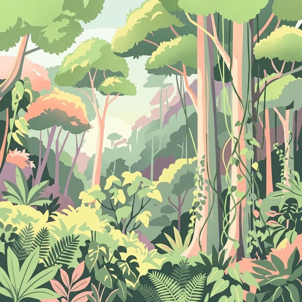
A colorful digital illustration of a dense, multi-layered rainforest with tall trees, hanging vines, and various ferns and tropical plants.
National parkBurundi

Kibira National Park: Burundi's Protected National Park Landscape and Geography

Mapped protected area within the Great Rift Valley region.

Kibira National Park represents a vital protected national park entity within Burundi's diverse geography. As part of the Great Rift Valley's expanse, its mapped boundaries and landscape identity offer a focal point for understanding regional protected areas. This park's presence in Burundi contributes essential data to a structured atlas of natural landscapes and conservation lands across East Africa.

Area
400 km²
IUCN
II
Relief
Mountain
Climate
Tropical
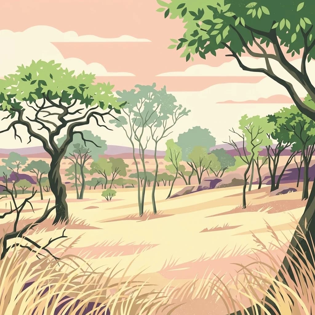
A stylized illustration of a dry savanna landscape with scattered acacia trees and tall grasses under a soft sunset sky.
National parkBurundi

Ruvubu National Park: A National Park in Burundi Focused on Protected Landscape Geography

Explore the mapped boundaries and regional context of Ruvubu.

Investigate Ruvubu National Park, a protected natural area in Burundi, and understand its geographic significance. This page serves as a detailed atlas entry, highlighting the park's mapped extent and its contribution to the regional landscape of East Africa. Explore the protected-area context and geographical features that define Ruvubu National Park for discovery and analysis.

Area
508 km²
Established
1980
IUCN
II
Relief
Mixed relief
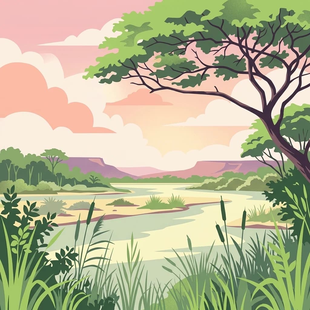
A stylized flat illustration of a river winding through a grassy landscape with a large tree in the foreground, cattails along the banks, and low mountains in the distance under a sunset sky.
National parkBurundi

Rusizi National Park: National Park in Burundi's Geographic Landscape Context

Explore mapped protected area boundaries and regional geography.

Rusizi National Park stands as a significant protected area within Burundi, contributing to the nation's conservation atlas. This national park offers a distinct geographic profile, showcasing its specific landscape and terrain features within the East African context. Users can delve into the mapped boundaries of Rusizi National Park to understand its protected status and its role in the regional geography, facilitating detailed geographic discovery.

Area
90 km²
Established
1980
IUCN
II
Climate
Tropical
Landscape and environment

Understand how Burundi is shaped by terrain, ecosystems, and seasonal conditions

Burundi geography, nature, climate, and landscape context for park-focused travel research

Explore the physical geography, natural setting, and climate patterns of Burundi through a location-first overview built for travel research, national park discovery, and broader regional context. This section helps explain how landscapes, habitats, and environmental conditions shape what people search for, where they travel, and how they experience protected areas in Burundi.

Burundi geography and landscape

Burundi is located in East Africa in the Great Rift Valley region, at the junction between the African Great Lakes area and Southeast Africa. It is landlocked and borders Rwanda to the north, Tanzania to the east and southeast, and the Democratic Republic of the Congo to the west. Lake Tanganyika lies along its southwestern border, providing access to major waterways.

Burundi nature and environment

Burundi's terrain includes highlands and valleys characteristic of the Great Rift Valley region. The country has significant lake ecosystems, particularly Lake Tanganyika along its southwestern border. Agricultural land dominates the landscape given the country's high population density and predominantly rural population.

Burundi climate and seasonal conditions

Burundi has a tropical highland climate with distinct wet and dry seasons. The climate is moderated by its elevation in the Great Rift Valley.

Explore this place

Related topics and popular queries

Ways to explore Burundi

Useful phrases, related topics, and discovery prompts connected to Burundi.
where is Burundi locatedwhat country is BurundiBurundi geography and bordersEast African countries Burundilandlocked countries Africa BurundiBurundi capital city GitegaBurundi countryEast Africa nationlandlocked African countryGreat Rift ValleyLake Tanganyika borderBurundi populationBurundi geographyRwanda Tanzania DRC border
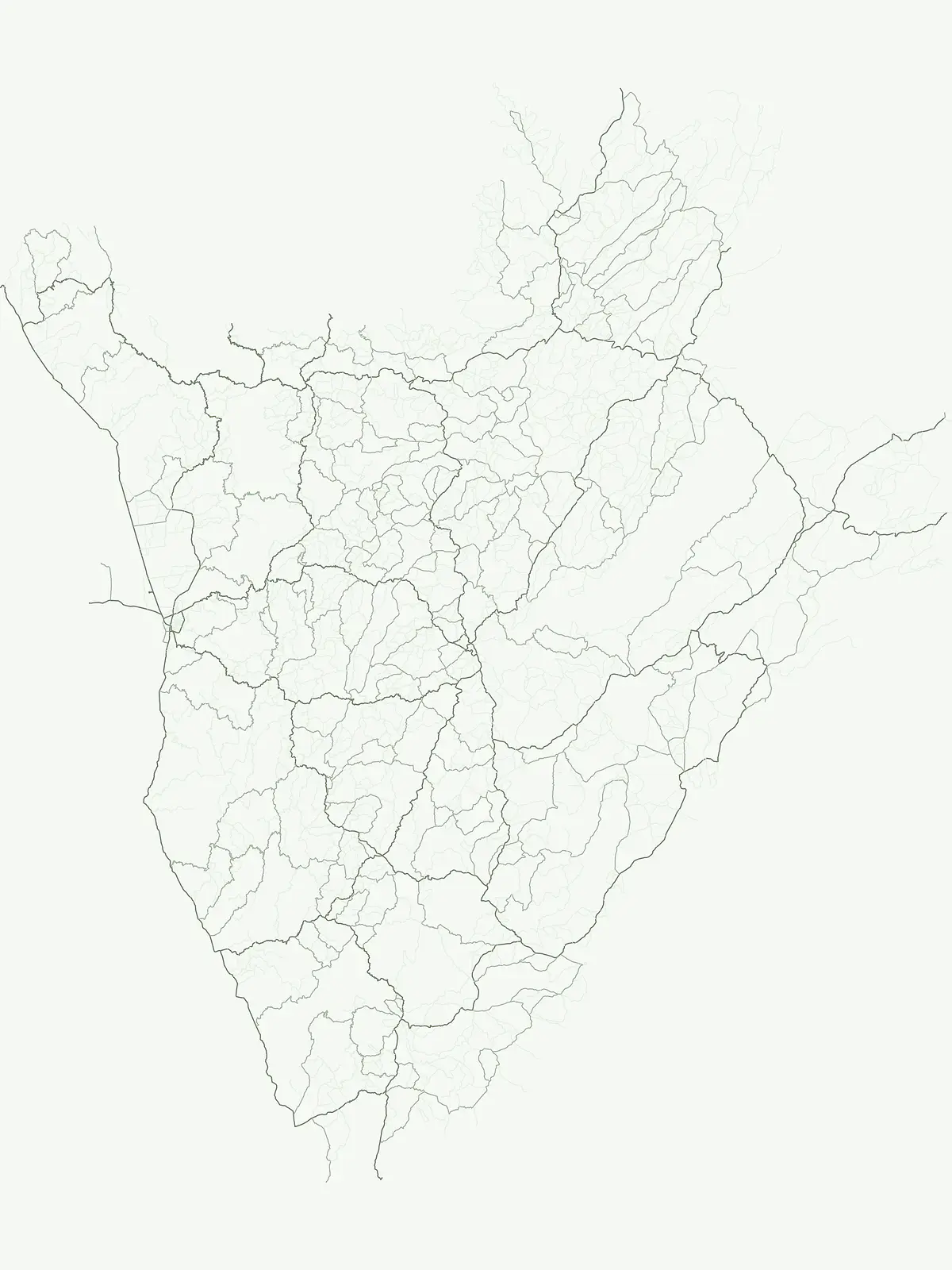
Park map

Visualize the distribution of Burundi's landlocked protected landscapes within the Great Rift Valley, tracing park locations and regional context.

Mapped National Parks and Protected Areas of Burundi: Explore East African Conservation Geography

Browse the geographic spread of national parks and other protected areas across Burundi, locating key conservation sites like Ruvubu and Kibira National Parks. Explore this map to understand the spatial arrangement of protected landscapes within East Africa's Great Rift Valley, comparing their positions along Lake Tanganyika and bordering nations.
Natural feature types

Continue Exploring Natural Features and Landscapes Across Burundi

Deepen your understanding of regional geography by browsing the natural features located within Burundi protected areas. This MoriAtlas collection connects specific topographic and aquatic formations to the protected landscapes where they are situated, offering a focused look at the nation's environmental structure.

Explore Burundi's Park Geography, Conservation Landscapes, and Protected-Area Distribution Across East Africa

Frequently Asked Questions About Burundi National Parks and Protected Areas

Explore essential insights into Burundi's national parks and designated protected areas, understanding their geographic spread within this landlocked East African nation. These frequently asked questions offer valuable context for discovering park locations, identifying conservation efforts, and tracing key protected landscapes across Burundi's diverse terrain.
Other countries

Compare protected areas across East Africa and the Great Rift Valley, tracing regional conservation landscapes.

Explore Other Countries with National Parks Near Burundi and Beyond

Browse a comprehensive atlas of national parks and protected areas in countries bordering Burundi, including Rwanda, Tanzania, and the Democratic Republic of the Congo. Expand your geographic understanding of conservation landscapes across the African Great Lakes region, comparing diverse protected-area networks.

Malawi: parks and protected areas

Parks and protected areas in Malawi, including Lake Malawi and Lake Chilwa.

15 parks

Uganda: parks and protected areas

Parks and protected areas in Uganda, including Bwindi and Rwenzori.

10 parks

Democratic Republic of the Congo: parks and protected areas

Parks and protected areas in Democratic Republic of the Congo, including Virunga and Salonga.

9 parks

Rwanda: parks and protected areas

Parks and protected areas in Rwanda, including Akagera and Nyungwe.

5 parks

Protected area types

Continue Exploring Burundi's Park Designations and Protected Landscapes

Deepen your understanding of Burundi's conservation geography by continuing into its specific park designation categories. This detailed atlas view helps you navigate from broader classification types to specific protected area facts, providing essential context for the country's natural territories and their mapped boundaries. Discover how each designation group contributes to the overall picture of protected lands in this East African nation.

Burundi Park Designations and Protected Areas
MoriAtlas Explorer

National parks and protected areas worldwide

Find a park and explore its geography, habitats, and monthly climate.

Global natural geography