Mori Atlas logo
Countries

Browse mapped protected landscapes and understand the geographic spread of Uganda's natural areas.

Explore Uganda's National Parks and Protected Areas: A Geographic Atlas

Begin your exploration of Uganda's diverse protected lands and national parks. This atlas provides a structured view of the country's natural landscapes, detailing the geographic distribution of its parks and conservation areas. Understand how these protected regions fit within Uganda's broader terrain and regional geography for informed discovery.

Related tags

east africalandlocked countrypresidential republiclake victorianile basin
About

Trace the mapped geography of Uganda's protected areas, highlighting regional distribution and diverse natural terrain across this East African nation.

Uganda National Parks and Protected Areas Atlas: Explore East Africa's Diverse Conservation Landscapes
Browse a comprehensive list of Uganda's national parks and other vital protected areas, encompassing savanna ecosystems, montane forests, and Rift Valley wildlife habitats. Understanding Uganda's geographic distribution of protected landscapes provides essential context for exploring conservation efforts and planning deeper atlas navigation into specific park entities.

Uganda is a landlocked East African nation spanning approximately 241,000 km². It borders five countries and contains part of Lake Victoria, the world's second-largest freshwater lake. The country operates as a presidential republic with Kampala as its capital and largest city.

Uganda, officially the Republic of Uganda, is a landlocked country in East Africa. Named after the Buganda kingdom, it gained independence from Britain in 1962. The country has a diverse population of over 45 million and operates as a unitary presidential republic. Uganda is located in the African Great Lakes region and lies within the Nile basin.

Largest city:Kampala
Currency code:UGX
ISO code:UG
Parks count
4
Capital
Kampala
Area
241,038 km²
Population
45,905,417 (2,024)

Coastal
Island
Mountainous
Landlocked
Park atlas4 parks

Trace the geographic spread of Uganda's national parks, from vast savannas to towering mountains and Rift Valley ecosystems.

National Parks in Uganda: Explore East Africa's Diverse Protected Landscapes
Browse a comprehensive list of Uganda's national parks and protected areas, mapping their unique geographic locations across East Africa's diverse landscapes. Uncover the distribution of significant conservation efforts, from the Great Lakes region to the Nile basin, providing essential geographic context for each protected site.
National parkUganda

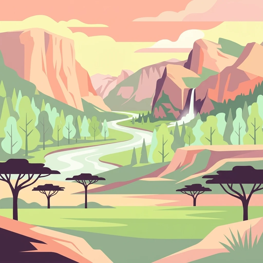
Murchison Falls National Park: Uganda's Largest Protected Landscape with Dramatic Nile Gorge

Explore mapped boundaries and diverse savanna terrain.

Murchison Falls National Park represents a significant protected landscape in Uganda, renowned for the powerful cascade of the Victoria Nile through a narrow gorge. This expansive national park encompasses varied terrain, from savanna woodlands to riparian forests, offering a rich geographic context. Understanding its mapped distribution within the region is key to appreciating its conservation importance and unique natural features, providing a compelling atlas-style entry point for exploration.

Area
3,893 km²
Established
1952
IUCN
II
National parkUganda

Rwenzori Mountains National Park: Uganda's Distinctive Glacial National Park Landscape

Mapped terrain and Afro-alpine ecosystems of this East African protected area.

Rwenzori Mountains National Park represents a unique protected landscape in Uganda, known for its iconic glacial peaks and endemic Afro-alpine vegetation. As a UNESCO World Heritage Site, it showcases dramatic terrain ranging from montane forests to permanent glaciers, with Margherita Peak standing as the crown jewel. This park offers a rich geographic context for understanding East African mountain ecosystems and the mapped boundaries of significant conservation areas, providing valuable data for atlas-style exploration.

Area
996 km²
Established
1991
IUCN
VI
National parkUganda

Mount Elgon National Park: Uganda's Transboundary Volcano and Mapped Protected Area

Explore volcanic terrain, unique cave systems, and diverse montane landscapes.

Mount Elgon National Park offers a rich tapestry of protected landscapes, centered on a dormant shield volcano straddling the Uganda-Kenya border. This park is recognized for its extraordinary botanical diversity and spectacular cave systems, such as Kitum Cave, where wildlife congregates to lick salt. The elevation gradient supports distinct vegetation zones, from dense montane forests to high-altitude heath and moorland, providing crucial habitat and watershed protection. Understanding Mount Elgon National Park through its mapped boundaries and geographic context reveals a unique protected area in East Africa.

Area
1,279 km²
Established
1968
IUCN
II
Relief
Mountain
National parkKaramoja

Kidepo Valley National Park: Remote Protected Savannah Landscape in Karamoja

Explore Uganda's expansive national park mapped geography and wildlife

Kidepo Valley National Park represents a significant protected area within the Karamoja region of Uganda. Its rugged terrain features sweeping savannah plains, distinctive granite kopjes, and seasonal river systems, forming a unique geographic tapestry. This park is crucial for understanding the distribution of protected landscapes in East Africa, offering a distinct atlas perspective on its diverse ecosystems and wildlife concentrations across the mapped terrain.

Area
1,442 km²
Established
1958
IUCN
II
Visitors
2.3K annual
Landscape and environment

Understand how Uganda is shaped by terrain, ecosystems, and seasonal conditions

Uganda geography, nature, climate, and landscape context for park-focused travel research
Explore the physical geography, natural setting, and climate patterns of Uganda through a location-first overview built for travel research, national park discovery, and broader regional context. This section helps explain how landscapes, habitats, and environmental conditions shape what people search for, where they travel, and how they experience protected areas in Uganda.

Uganda geography and landscape

Uganda is situated in East Africa, bordered by Kenya to the east, South Sudan to the north, the Democratic Republic of the Congo to the west, Rwanda to the southwest, and Tanzania to the south. The southern portion includes a substantial part of Lake Victoria. The terrain features volcanic hills, mountains, and lakes.

Uganda nature and environment

Uganda features diverse natural landscapes including volcanic hills, mountain ranges, and freshwater lakes. Lake Victoria, the world's second-largest freshwater lake, lies partially within the country. The region falls within the African Great Lakes area and the Nile basin.

Uganda climate and seasonal conditions

Uganda has an equatorial climate with relatively consistent temperatures year-round. The climate is varied across the country's diverse terrain.

Explore this place

Related topics and popular queries

Ways to explore Uganda
Useful phrases, related topics, and discovery prompts connected to Uganda.
where is uganda locateduganda country factsuganda east africa geographyuganda population and capitallandlocked countries africauganda countryeast africa nationuganda capital kampalalandlocked african countryuganda geographyuganda demographicslake victoria uganda
Park map

Visualize the distribution of Uganda's diverse national parks and key protected areas across its East African landscapes.

Uganda National Parks Map: See Protected Area Locations and Geographic Spread
Preview the geographic layout of Uganda's national parks and protected areas, understanding their positions within this landlocked East African nation. Trace the mapped distribution of conservation landscapes, from Kidepo Valley to Rwenzori Mountains, then navigate to the dedicated country map for comprehensive detail and exploration.

Explore insights into Uganda's diverse park geography, conservation efforts, and regional protected area distribution.

Frequently Asked Questions About Uganda's National Parks and Protected Areas
Delve into essential information regarding Uganda's national parks, wildlife reserves, and other significant protected areas, spanning across its diverse East African landscapes. Gain a deeper understanding of Uganda's unique park geography, conservation priorities, and the context surrounding its vital natural heritage for informed geographic exploration.
Other countries

Extend your atlas exploration, comparing national park geography and protected landscapes across East Africa and other countries.

Explore Other Countries with National Parks and Protected Areas Beyond Uganda
Continue your discovery of African national parks and protected areas by exploring country-level geographies related to Uganda's East African context. Browse neighboring nations and continental park landscapes to understand regional conservation efforts and compare diverse protected ecosystems on a broader scale.

Kenya's National Parks and Protected Areas: A Geographic Explorer's Atlas

Navigate the rich geography of Kenya through its network of national parks and protected areas. This resource offers a structured overview of mapped natural landscapes, detailing their distribution and regional context. Understand the geographic scope of conservation efforts and explore the unique terrains that define Kenya's protected lands, providing an essential atlas perspective for geographic discovery.

10 parks

Democratic Republic of the Congo National Parks and Protected Areas Geographic Atlas

Delve into the geographic richness of the Democratic Republic of the Congo through its protected natural areas. This atlas provides a structured view of national parks and conservation landscapes, detailing their mapped boundaries and regional context. Understand the distribution of these vital ecosystems across the country, from its vast rainforests to its diverse terrains, offering a foundation for geographic exploration.

10 parks

Ethiopia National Parks and Protected Areas: Geographic Atlas Explorer

Navigate Ethiopia's diverse protected areas with our structured geographic explorer. This atlas view provides insight into the mapped locations and regional spread of national parks and conservation lands across the nation, aiding in a comprehensive understanding of its natural landscape context. Explore key protected sites and their relation to the surrounding terrain and geography.

9 parks

Tanzania

8 parks

South Sudan

2 parks

Explore Rwanda's National Parks and Protected Areas: A Mapped Geographic Atlas

This atlas provides a structured view of Rwanda's national parks and protected areas, focusing on their geographic distribution and landscape context. Users can explore the mapped boundaries of conservation lands, understand their placement within the country's diverse terrain, and gain insight into the regional geography of East Africa's natural heritage. It serves as a direct entry point for map-aware browsing of protected natural areas.

1 park

Congo National Parks and Protected Landscapes: Mapped Geography Explorer

Delve into the protected natural areas of Congo, presented through a geographic lens. This explorer facilitates the discovery of national parks and other conservation lands, mapping their distribution and regional significance. Understand the landscape context and geographic patterns of protected territories across Congo for informed atlas-based learning.

1 park

Sudan

1 park
MoriAtlas Explorer

Continue Your Global Geographic Exploration with MoriAtlas Park Discovery

Dive deeper into the world's protected landscapes and national parks through MoriAtlas's structured atlas interface. Discover how continents and countries are organized, and how individual park geography fits into the broader map. Our platform is built for understanding the distribution and context of protected areas worldwide, facilitating your journey through global natural geography.

Global natural geography