
Mori Atlas logo
Countries

Browse mapped protected landscapes and natural terrain across Malawi's distinct regions.

Malawi National Parks and Protected Areas: A Geographic Atlas and Discovery Platform

Malawi offers a compelling landscape for geographic exploration, featuring a notable concentration of national parks and protected areas largely centered around the vast Lake Malawi. This platform serves as an atlas entry point, allowing you to trace the geographic distribution of these conservation sites and understand their placement within the country's natural terrain. Discover the mapped boundaries of protected lands and gain regional context for Malawi's diverse natural heritage.

Malawi National Parks and Protected Areas: A Geographic Atlas and Discovery Platform
About

Explore Malawi's Diverse Park Geography, from Lakeside Ecosystems to Interior Reserves on a Comprehensive Map

Discover Malawi's National Parks and Protected Areas: An Atlas of Southeastern African Conservation Landscapes
Browse the essential national parks and protected areas across Malawi, a landlocked country in Southeastern Africa. Explore the geographic distribution of these crucial conservation landscapes, including prominent lakeside protected zones, to understand Malawi's unique regional park atlas.

Malawi is a landlocked country in Southeastern Africa. Formerly known as Nyasaland under British colonial rule, it gained independence in 1964 and became a multi-party democracy in 1994. The country is known for Lake Malawi, which comprises about one-fifth of its territory, and is governed as a unitary presidential republic with Lilongwe as its capital.

Malawi is a landlocked nation in Southeastern Africa located in the Great Rift Valley. The country is characterized by highlands in the north and central regions, with Lake Malawi being a major geographical feature occupying the eastern part of the country. Historically, the area was inhabited by various Bantu groups from around the 10th century and came under British colonial control in 1891 before gaining independence in 1964. The economy is primarily agricultural, with tobacco, maize, and cassava as main crops.

Currency code:MWK
ISO code:MW
Parks count
5
Capital
Lilongwe
Area
118,484 km²
Population
21,240,689 (2,024)

Coastal
Landlocked
Park atlas5 parks

Explore the Mapped Geography and Diverse Protected Landscapes across Malawi, from Lake Malawi to its inland regions.

Discover National Parks and Protected Areas in Malawi: A Geographic Overview
Browse a structured list of national parks and protected areas located across Malawi, including prominent sites like Lake Malawi National Park and Kasungu National Park. This country-level overview provides essential geographic context, allowing users to trace the regional spread of conservation landscapes and unique freshwater biodiversity.
National parkMalawi

Lake Malawi National Park: UNESCO Protected Landscape and Endemic Fish Habitat

Discover mapped terrain, island geography, and evolutionary wonders.

Lake Malawi National Park offers unparalleled insight into freshwater biodiversity and landscape dynamics within Malawi's Great Rift Valley. As a UNESCO World Heritage Site, it is celebrated for its spectacular evolutionary radiation of cichlid fish, a phenomenon studied globally. The park's protected territory includes the mountainous Nankumbu Peninsula and thirteen islands, providing a rich context for understanding the interplay between aquatic ecosystems, terrestrial terrain, and unique island geography.

Area
94 km²
Established
1980
IUCN
II
Relief
Mountain
National park

Kasungu National Park: Protected Landscape and Geographic Atlas of Central Malawi

Explore Miombo woodlands and dambo grasslands across its mapped terrain.

Kasungu National Park is a key protected area in Malawi, offering insights into the geography of Central Malawi's savanna landscapes. This national park, covering over 2,300 square kilometres, is defined by its characteristic Miombo woodland interspersed with dambo grasslands and riverine habitats. Its location near the Zambian border provides a critical conservation corridor, making it an important entity for understanding regional protected land distribution and landscape ecology within the atlas.

Area
2,316 km²
Established
1970
IUCN
II
Relief
Mixed relief
National parkSouthern Region

Liwonde National Park: National Park in Malawi's Southern Region

Mapped Protected Area Boundaries and Geographic Context

Liwonde National Park is a designated national park situated in Malawi's Southern Region. This entry provides detailed geographic information, focusing on the park's mapped boundaries and its role within the broader atlas of protected landscapes. Explore the unique regional geography and conservation context that defines this protected area.

Area
548 km²
Established
1973
Relief
Upland
Climate
Tropical
National parkMalawi

Nyika National Park: Malawi National Park Atlas Exploration and Protected Landscape

Discover geographic context and mapped boundaries of this protected area.

Nyika National Park serves as a core entry for understanding Malawi's protected areas and natural landscapes through an atlas lens. Explore the park's designation as a national park, its geographic positioning within Malawi, and the mapped context that defines its protected status. This detail page provides a foundational view for appreciating the park's landscape and its contribution to the regional protected lands overview.

Area
3,134 km²
Established
1966
IUCN
II
Relief
Highland
National parkMalawi

Lengwe National Park: Malawi's Protected Landscape Atlas and Geographic Context

Mapped natural terrain and protected area boundaries in Malawi.

Lengwe National Park offers a focused look into Malawi's protected natural areas. As a designated national park, its geographic significance is highlighted through mapped boundaries and an understanding of the surrounding regional terrain. This entry provides essential context for exploring its identity as a protected landscape within southeastern Africa, contributing to a broader atlas of conservation areas.

Area
887 km²
Established
1970
IUCN
II
Climate
Tropical
Landscape and environment

Understand how Malawi is shaped by terrain, ecosystems, and seasonal conditions

Malawi geography, nature, climate, and landscape context for park-focused travel research
Explore the physical geography, natural setting, and climate patterns of Malawi through a location-first overview built for travel research, national park discovery, and broader regional context. This section helps explain how landscapes, habitats, and environmental conditions shape what people search for, where they travel, and how they experience protected areas in Malawi.

Malawi geography and landscape

Malawi is located in Southeastern Africa within the Great Rift Valley. It is bordered by Zambia to the west, Tanzania to the north and northeast, and Mozambique to the east, south, and southwest. The country features highlands and plateaus in the northern and central areas, with the Great Rift Valley system running through the territory.

Malawi nature and environment

Malawi's landscape includes highlands, plateaus, and a significant lake system. Lake Malawi is a major natural feature covering approximately one-fifth of the country's total area, making it one of the largest lakes in Africa.

Malawi climate and seasonal conditions

Malawi has a tropical climate with distinct wet and dry seasons.

Explore this place

Related topics and popular queries

Ways to explore Malawi
Useful phrases, related topics, and discovery prompts connected to Malawi.
where is malawi locatedwhat is malawi known formalawi population and arearepublic of malawi factsmalawi capital citymalawi bordering countriesmalawi countryrepublic of malawisoutheastern africalake malawimalawian kwachalilongwe capitalmalawi populationmalawi geographymalawi historynyasaland
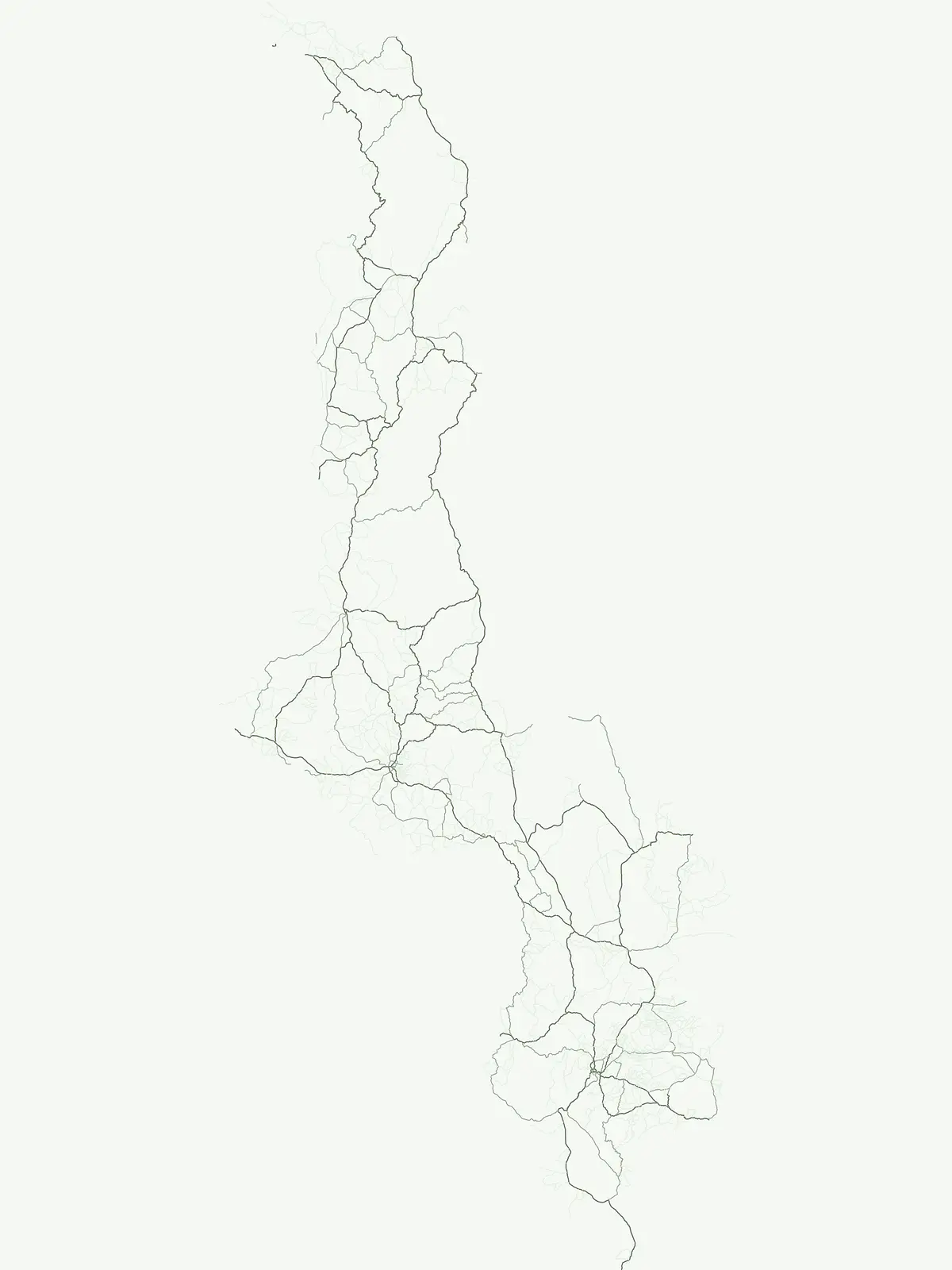
Park map

Visualize the geographic spread of Malawi's protected landscapes, from Lake Malawi's shores to inland reserves.

Malawi National Parks Map: Explore Protected Areas and Park Geography
Browse the mapped locations of Malawi's national parks and protected areas, including sites along Lake Malawi and inland reserves, to understand their geographic placement within this southeastern African country. Expand to the dedicated full-screen map to trace the complete distribution of conservation landscapes and compare their regional context across Malawi's diverse terrain.

Explore common questions on Malawi's national park distribution, protected landscapes, and their unique geographic context.

Frequently Asked Questions About Malawi National Parks and Protected Area Geography
Explore common questions regarding the national parks and protected areas of Malawi, offering insights into their mapped locations, geographic context, and conservation significance. These country-level FAQs provide essential context for understanding Malawi's protected landscapes, comparing regional park geography, and enhancing your atlas discovery.
Other countries

Compare protected area landscapes and map regional park geography surrounding Malawi in Southern Africa.

Discover National Parks in Countries Near Malawi and Across Southeastern Africa
Continue your exploration beyond Malawi to browse national parks and protected areas in neighboring countries, tracing the diverse conservation landscapes of Southeastern Africa. Uncover a wider atlas of park geography by comparing protected land and water bodies across various country pages.

Madagascar National Parks and Protected Areas Atlas: Geographic Distribution and Landscape Context

Delve into the geography of Madagascar's protected areas and national parks. This section offers an atlas-style view of the island's conservation landscapes, highlighting their distribution and natural context. Understand how Madagascar's unique biodiversity is represented across its mapped regions and protected territories, providing a foundation for broader geographic exploration.

25 parks

Tanzania's National Parks and Protected Areas: Geographic Discovery and Atlas Navigation

Uncover the breadth of Tanzania's protected lands through a structured geographic lens. This atlas provides detailed insights into the distribution of national parks and conservation areas, highlighting their mapped boundaries and regional contexts. Facilitate your exploration of Tanzania's diverse natural terrain and gain a comprehensive understanding of its protected landscapes.

23 parks

Zambia National Parks and Protected Areas: Mapped Landscapes and Geographic Context

Delve into the geography of Zambia with this comprehensive atlas of its national parks and protected areas. Understand the spatial relationships between diverse landscapes, from floodplains to woodlands, and how conservation efforts are mapped across the country. This resource provides essential context for exploring the natural terrain and protected regions of this Southern Africa nation, offering a foundation for detailed geographic discovery.

19 parks

Zimbabwe National Parks and Protected Areas Atlas: Geographic Discovery

Navigate Zimbabwe's significant national parks and protected areas through a detailed geographic lens. This atlas entry provides context on the distribution of protected lands, showcasing the varied natural terrain and conservation landscapes across the nation. It serves as a foundational resource for understanding the country's protected area network and planning further map-based discovery.

11 parks

Mozambique National Parks and Protected Areas: Mapped Landscape Discovery

Navigate Mozambique's network of national parks and protected areas within a geographic atlas framework. This resource highlights the mapped boundaries and distribution of conservation landscapes across the country, offering insights into regional geography and natural terrain. It is designed for users seeking a structured overview of protected lands for atlas-based exploration and understanding of Mozambique's natural heritage.

10 parks

Explore Rwanda's National Parks and Protected Areas: A Mapped Geographic Atlas

This atlas provides a structured view of Rwanda's national parks and protected areas, focusing on their geographic distribution and landscape context. Users can explore the mapped boundaries of conservation lands, understand their placement within the country's diverse terrain, and gain insight into the regional geography of East Africa's natural heritage. It serves as a direct entry point for map-aware browsing of protected natural areas.

7 parks

Comoros National Parks and Protected Areas Geographic Atlas and Map Explorer

Access a structured overview of national parks and protected natural areas within Comoros. This atlas entry details the geographic spread and landscape context of conservation lands across the islands, aiding in the discovery of volcanic island environments and Indian Ocean marine protected areas. Understand how each protected area fits into the broader regional geography of this unique nation.

5 parks

Burundi National Parks and Protected Areas: Geographic Atlas and Landscape Context

Explore the breadth of Burundi's protected natural areas through a structured geographic lens. This atlas provides insight into the mapped boundaries and regional landscape context of the nation's parks and conservation lands. Understand the distribution of protected areas across East Africa's Great Rift Valley, enabling detailed discovery of natural terrain and conservation significance.

3 parks

Protected area types

Continue Exploring Malawi's Park Designations and Geographic Classifications

Deepen your understanding of Malawi's protected areas by delving into the specific classification groups. This route allows for detailed inspection of each designation's geographic spread and its contribution to the country's natural landscape context, providing a more structured view for atlas exploration.

Malawi Protected Area Designations
MoriAtlas Explorer

Continue Your Global Geographic Exploration with MoriAtlas Park Discovery

Dive deeper into the world's protected landscapes and national parks through MoriAtlas's structured atlas interface. Discover how continents and countries are organized, and how individual park geography fits into the broader map. Our platform is built for understanding the distribution and context of protected areas worldwide, facilitating your journey through global natural geography.

Global natural geography