Mori Atlas logo
Countries

Browse mapped protected lands and island natural landscapes across the Comoros archipelago.

Comoros National Parks and Protected Areas Atlas: Geographic Discovery and Map Exploration

The Comoros archipelago, an island nation in the Indian Ocean, hosts a unique array of protected natural landscapes. This atlas entry provides a geographic framework for exploring Comoros' national parks and conservation areas, highlighting their distribution and key landscape features. Understand the regional geography and mapped park boundaries that define this archipelagic country.

Related tags

island nationarchipelagic countryeast africaindian oceanarab league member
About

Explore the unique geographic spread of protected landscapes, marine zones, and volcanic islands throughout the Comoros nation.

Discover National Parks and Protected Areas Across the Comoros Archipelago
Browse the national parks and protected areas of Comoros, an island nation in the Indian Ocean, encompassing diverse volcanic landscapes, montane forests, and vibrant coral reefs. Explore the distinct park geography across Grande Comore, Anjouan, and Mohéli to understand the distribution of critical conservation efforts.

Comoros is an island nation in the Indian Ocean located at the northern end of the Mozambique Channel. It consists of three main islands: Grande Comore, Anjouan, and Mohéli. The country gained independence from France in 1975 and is a member of the Arab League, African Union, and Organisation of Islamic Co-operation. It has three official languages: Comorian, French, and Arabic.

Comoros is a federal presidential republic composed of three volcanic islands in the Indian Ocean. The nation is notable for its strategic position at the northern entrance of the Mozambique Channel. Despite being one of the world's smallest countries by area, it has experienced significant political instability with over 20 coups or attempted coups since independence. The population is predominantly Comorian with small Makua minority groups.

Largest city:Moroni
Currency code:KMF
ISO code:KM
Parks count
3
Capital
Moroni
Area
2,235 km²
Population
883,075 (2,024)

Coastal
Island
Mountainous
Landlocked
Park atlas3 parks

Mapped Protected Landscapes of Grande Comore, Anjouan, and Mohéli Islands

National Parks in Comoros: Explore Volcanic Islands and Marine Protected Areas
Browse national parks and protected areas across the Comoros archipelago, featuring significant volcanic landscapes, unique marine conservation sites, and diverse island ecosystems. Discover the geographic spread of these protected territories, trace their boundaries on a map, and explore the distinct natural heritage of this Indian Ocean nation.
National parkAnjouan

Mount Ntringui National Park: Protected Volcanic Landscape and Highland Geography on Anjouan

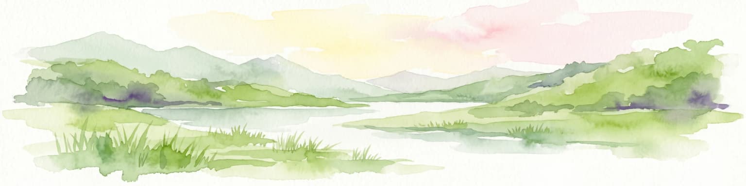
Explore its dramatic peaks, crater lake, and remnant montane forests.

Mount Ntringui National Park is a significant protected area situated in the rugged volcanic highlands of Anjouan. This national park preserves the island's highest peaks, Mount Ntringui and Mount Trindrini, alongside the unique Dzialandzé crater lake and the crucial Moya Forest. It stands as a vital refuge for endemic species and represents the last substantial tract of montane forest on Anjouan, offering deep insights into the region's unique ecology and mapped natural terrain.

Area
79.14 km²
Established
2010
IUCN
II
Relief
Mountain
National parkGrande Comore

Coelacanth National Park: Marine Protected Landscape and Geographic Setting off Grande Comore

Explore the unique marine geography and conservation value.

Coelacanth National Park is a significant marine protected area dedicated to preserving a unique underwater ecosystem surrounding Grande Comore. Its designation as a national park highlights its importance for safeguarding the habitat of the coelacanth, a rare prehistoric fish species. The park's landscape comprises vibrant coral reefs and deep offshore waters, integral to the broader Indian Ocean geography, offering insights into marine conservation and protected areas.

Area
92.76 km²
Established
2010
IUCN
II
Scope
Marine
National parkAnjouan

Shisiwani National Park: Anjouan's Protected Marine and Island Landscape Atlas

Coastal and terrestrial protected area mapping in Comoros.

Delve into the protected landscape of Shisiwani National Park, a critical national park situated on Anjouan's Sima Peninsula in Comoros. This atlas entry details the park's combined marine and terrestrial boundaries, highlighting its vital coral reefs, mangrove forests, and unique island geography. Understand the park's role in conservation through its mapped extent and diverse natural environments, offering a clear geographic context for protected area exploration.

Area
64.97 km²
Established
2016
IUCN
II
Landscape and environment

Understand how Comoros is shaped by terrain, ecosystems, and seasonal conditions

Comoros geography, nature, climate, and landscape context for park-focused travel research
Explore the physical geography, natural setting, and climate patterns of Comoros through a location-first overview built for travel research, national park discovery, and broader regional context. This section helps explain how landscapes, habitats, and environmental conditions shape what people search for, where they travel, and how they experience protected areas in Comoros.

Comoros geography and landscape

Comoros is situated in the Indian Ocean at the northern end of the Mozambique Channel, between Madagascar and the African mainland. The country consists of three main volcanic islands: Grande Comore, Anjouan, and Mohéli. The islands are part of the Comoro Islands archipelago.

Comoros nature and environment

The islands are of volcanic origin, with volcanic terrain and limited natural resources. The marine environment around the islands includes coral reefs and the Indian Ocean ecosystem.

Comoros climate and seasonal conditions

Comoros has a tropical climate typical of island nations in the Indian Ocean.

Explore this place

Related topics and popular queries

Ways to explore Comoros
Useful phrases, related topics, and discovery prompts connected to Comoros.
where is comoroscomoros country informationcomoros capital moronicomoros islands geographycomoros population and areacomoros independence from francecomoros official languagescomoros indian oceancomoros countrycomoros islandsunion of the comorosindian ocean nationsoutheastern africamoroni capitalcomorian francvolcanic islands indian oceanarab league africaeast african island nation
Park map

Trace the distribution of conservation landscapes and unique park geography across Grande Comore, Anjouan, and Mohéli.

Mapped Protected Areas of Comoros: Locate National Parks Across the Volcanic Archipelago
Preview where Comoros' national parks and marine protected areas are situated within its Indian Ocean island geography. Open the dedicated Comoros parks atlas map to explore the full spatial context and detailed geographic distribution of protected areas across the volcanic archipelago.

Explore Comoros' Island Protected Landscapes: Mapped Geography and Key Park Distribution

Frequently Asked Questions About Comoros National Parks and Protected Areas Geography
Browse essential insights into the national parks and protected areas across the volcanic islands of Comoros, including marine conservation zones and terrestrial mountain forests. Understand the unique distribution of Comoros' protected landscapes, tracing their regional context and importance for species like the coelacanth or local cetaceans.
Other countries

Continue your atlas exploration, tracing protected landscapes and comparing park geography across other country destinations.

Browse National Parks and Protected Areas Beyond Comoros, Discovering Other Country Geographies
From Comoros, expand your national park discovery to include protected areas and conservation landscapes in other countries. Continue geographic exploration to compare diverse park geographies and understand regional protected-area contexts across the wider atlas.

Seychelles National Parks and Protected Areas Discovery Atlas

Gain a structured understanding of Seychelles' protected natural areas. This atlas entry point allows for detailed exploration of national parks and conservation landscapes, emphasizing their geographic spread and mapped boundaries. Navigate through the island nation's protected territories to appreciate the regional context and diverse natural terrain that defines Seychelles.

22 parks

Kenya's National Parks and Protected Areas: A Geographic Explorer's Atlas

Navigate the rich geography of Kenya through its network of national parks and protected areas. This resource offers a structured overview of mapped natural landscapes, detailing their distribution and regional context. Understand the geographic scope of conservation efforts and explore the unique terrains that define Kenya's protected lands, providing an essential atlas perspective for geographic discovery.

10 parks

Tanzania

8 parks

Madagascar National Parks and Protected Areas Atlas: Geographic Distribution and Landscape Context

Delve into the geography of Madagascar's protected areas and national parks. This section offers an atlas-style view of the island's conservation landscapes, highlighting their distribution and natural context. Understand how Madagascar's unique biodiversity is represented across its mapped regions and protected territories, providing a foundation for broader geographic exploration.

7 parks

Mozambique National Parks and Protected Areas: Mapped Landscape Discovery

Navigate Mozambique's network of national parks and protected areas within a geographic atlas framework. This resource highlights the mapped boundaries and distribution of conservation landscapes across the country, offering insights into regional geography and natural terrain. It is designed for users seeking a structured overview of protected lands for atlas-based exploration and understanding of Mozambique's natural heritage.

6 parks

Zimbabwe National Parks and Protected Areas Atlas: Geographic Discovery

Navigate Zimbabwe's significant national parks and protected areas through a detailed geographic lens. This atlas entry provides context on the distribution of protected lands, showcasing the varied natural terrain and conservation landscapes across the nation. It serves as a foundational resource for understanding the country's protected area network and planning further map-based discovery.

4 parks

Explore National Parks and Protected Areas in Malawi: A Geographic Atlas

Delve into the structured geographic data for Malawi's national parks and protected areas. This atlas provides clear insights into the mapped boundaries and regional spread of conservation lands, highlighting the country's unique natural terrain. Understand the distribution of protected sites and enhance your geographic comprehension of Malawi's conservation efforts and diverse landscapes.

3 parks

Mauritius National Parks and Protected Areas: Mapped Geographic Discovery

Discover the breadth of national parks and protected areas within Mauritius using our geographic atlas. This resource details mapped park boundaries and the regional distribution of conservation lands, providing a factual overview of island ecosystems. Understand the geographic context of protected areas, from coastal conservation sites to unique island environments, facilitating a structured exploration of Mauritius's natural heritage.

1 park
MoriAtlas Explorer

Continue Your Global Geographic Exploration with MoriAtlas Park Discovery

Dive deeper into the world's protected landscapes and national parks through MoriAtlas's structured atlas interface. Discover how continents and countries are organized, and how individual park geography fits into the broader map. Our platform is built for understanding the distribution and context of protected areas worldwide, facilitating your journey through global natural geography.

Global natural geography