Explore the mapped boundaries and regional geography of Mauritius's protected landscapes.
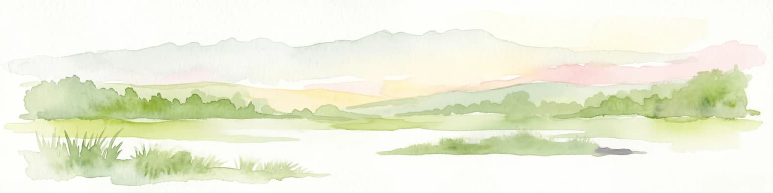
Navigate the protected natural areas of Mauritius, an island nation in the Indian Ocean, through a structured geographic lens. This atlas provides a comprehensive view of national parks and conservation lands, highlighting their distribution and regional context. Understand the unique island ecosystems and mapped landscapes that define Mauritius, offering a factual entry point for exploring its protected areas and their geographic significance.

Trace the geographic spread of Mauritius's protected areas and mapped conservation landscapes, highlighting its unique island ecosystems.
Mauritius is an island nation in the Indian Ocean and part of the Mascarene Islands. The country gained independence from Britain in 1968 and became a republic in 1992. It is characterized by a diverse population of primarily Indian and Creole descent, with English and French as official languages and Mauritian Creole as the dominant spoken language.
Explore the Diverse Protected Landscapes of this Indian Ocean Island Nation on a Mapped Park List

Explore mapped boundaries and endemic wildlife conservation in the southwest highlands.
Black River Gorges National Park is the largest protected area on Mauritius, critically preserving native rainforest and unique endemic species. This national park encompasses approximately 67.54 square kilometers, showcasing varied ecosystems from humid upland forests to marshy heathlands within its rugged highland terrain. The park's geography, characterized by deep gorges and steep slopes, provides essential habitats and plays a crucial role in the island's conservation efforts, making it a significant site for understanding Mauritius's natural heritage.
Explore coastal terrain, endemic species habitats, and wetland geography.
Bras d'Eau National Park, situated on Mauritius, offers an in-depth look at a protected coastal lowland landscape vital for conservation. This national park showcases remnant forest patches critical for endemic flora and fauna, complemented by a unique system of four mares, including the mangrove-rich Mare sarcelle. Its mapped geography provides context for island ecosystems and serves as a key location for understanding Mauritius's protected natural areas.
Explore unique island landscapes and protected mangrove forests.
Islets National Park in Mauritius comprises a cluster of eight coastal islands, each contributing to the nation's protected natural heritage. The park is recognized for its varied island ecosystems, including the significant mangrove forests found on Île d'Ambre, the largest island, and the distinctive blue latan palm. Its scattered geography around the main island makes it a prime area for studying coastal island dynamics and unique regional biodiversity. Understanding Islets National Park provides insight into the broader protected landscape strategy of Mauritius.
Understand how Mauritius is shaped by terrain, ecosystems, and seasonal conditions
Mauritius is located in the Indian Ocean approximately 2,000 km east of Africa and east of Madagascar. The main island is volcanic in origin, and the country also includes the islands of Rodrigues, Agaléga, and St. Brandon (Cargados Carajos shoals). The territory is part of the Mascarene Islands, with nearby Réunion being a French overseas department.
The island features a central plateau with volcanic peaks, coastal plains, and coral reefs surrounding the island. The coastline includes beaches and lagoons, with the interior containing forested areas and nature reserves.
Mauritius has a tropical maritime climate with warm temperatures year-round, influenced by the Indian Ocean.
Related topics and popular queries
Trace the mapped geography of Mauritius's protected areas, understanding their spatial spread across the island nation's diverse landscapes.
Explore Mapped Geography and Key Insights on Mauritius' Protected Areas and Park Distribution
Trace the spread of diverse protected landscapes and national park geography across the global atlas.

Delve into the geography of Madagascar's protected areas and national parks. This section offers an atlas-style view of the island's conservation landscapes, highlighting their distribution and natural context. Understand how Madagascar's unique biodiversity is represented across its mapped regions and protected territories, providing a foundation for broader geographic exploration.

Uncover the breadth of Tanzania's protected lands through a structured geographic lens. This atlas provides detailed insights into the distribution of national parks and conservation areas, highlighting their mapped boundaries and regional contexts. Facilitate your exploration of Tanzania's diverse natural terrain and gain a comprehensive understanding of its protected landscapes.

Navigate Zimbabwe's significant national parks and protected areas through a detailed geographic lens. This atlas entry provides context on the distribution of protected lands, showcasing the varied natural terrain and conservation landscapes across the nation. It serves as a foundational resource for understanding the country's protected area network and planning further map-based discovery.

Navigate Mozambique's network of national parks and protected areas within a geographic atlas framework. This resource highlights the mapped boundaries and distribution of conservation landscapes across the country, offering insights into regional geography and natural terrain. It is designed for users seeking a structured overview of protected lands for atlas-based exploration and understanding of Mozambique's natural heritage.

Access a structured overview of national parks and protected natural areas within Comoros. This atlas entry details the geographic spread and landscape context of conservation lands across the islands, aiding in the discovery of volcanic island environments and Indian Ocean marine protected areas. Understand how each protected area fits into the broader regional geography of this unique nation.

Gain a structured understanding of Seychelles' protected natural areas. This atlas entry point allows for detailed exploration of national parks and conservation landscapes, emphasizing their geographic spread and mapped boundaries. Navigate through the island nation's protected territories to appreciate the regional context and diverse natural terrain that defines Seychelles.

Delve into the structured geographic data for Malawi's national parks and protected areas. This atlas provides clear insights into the mapped boundaries and regional spread of conservation lands, highlighting the country's unique natural terrain. Understand the distribution of protected sites and enhance your geographic comprehension of Malawi's conservation efforts and diverse landscapes.

Navigate Eswatini's protected lands with this atlas-focused guide. Understand the geographic spread and mapped boundaries of national parks and conservation areas, providing a solid foundation for exploring the country's natural regions and landscapes. This is your starting point for a structured exploration of Eswatini's diverse geography.
Protected area types
Deepen your understanding of Mauritius's protected landscapes by continuing to browse its specific designation categories. This classification-driven approach helps to reveal the intricate geographic context and conservation patterns across the island nation. Advance your atlas exploration into detailed insights on each protected area type.
Dive deeper into the world's protected landscapes and national parks through MoriAtlas's structured atlas interface. Discover how continents and countries are organized, and how individual park geography fits into the broader map. Our platform is built for understanding the distribution and context of protected areas worldwide, facilitating your journey through global natural geography.