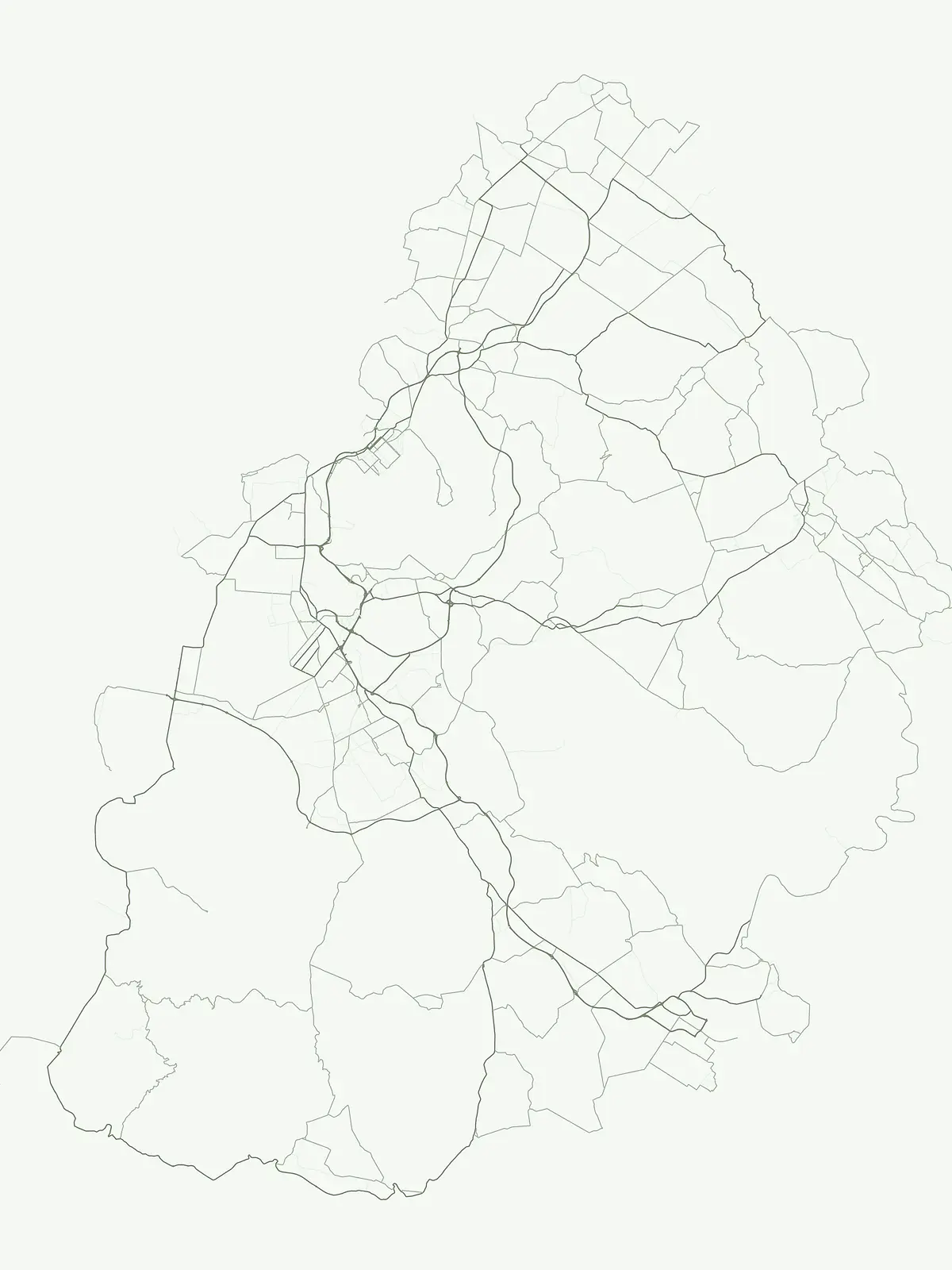
Mori Atlas logo
Country parks

Explore the geographic distribution of protected lands and natural landscapes across Mauritius.

Mauritius National Parks and Protected Areas: Browse Country-Wide Mapped Landscapes

Explore a comprehensive atlas of national parks and protected areas across Mauritius, an island nation in the Indian Ocean. This page provides a country-scoped view, enabling discovery of the distribution and geographic context of key protected landscapes and conservation areas throughout Mauritius.

Mauritius National Parks and Protected Areas: Browse Country-Wide Mapped Landscapes

Discover the geographic spread of Mauritius' unique island conservation areas and diverse nature reserves.

National Parks and Protected Areas in Mauritius: A Comprehensive Country Park List

Browse an extensive list of national parks and protected areas across Mauritius, covering its unique island ecosystems and important conservation landscapes. This comprehensive country-level view helps users understand the geographic distribution and variety of protected zones, from marine areas to terrestrial reserves.

Showing 1 to 15 of 15 parks

Marine protected areaMauritiusMarine

Ste. Anne Marine National Park

Coral reef ecosystems and oceanic territory mapping.

Analyze the protected marine boundaries and underwater terrain of Ste. Anne Marine National Park. This geographic overview details the park role in preserving coral reef health and marine biodiversity off the coast of Mauritius within the Indian Ocean basin.

II
Watercolor painting of a landscape featuring a winding river through a valley, surrounded by green hills and mountains, with pink flowers in the foreground
National parkMauritius

Black River Gorges National Park

Explore mapped boundaries and endemic wildlife conservation in the southwest highlands.

Black River Gorges National Park is the largest protected area on Mauritius, critically preserving native rainforest and unique endemic species. This national park encompasses approximately 67.54 square kilometers, showcasing varied ecosystems from humid upland forests to marshy heathlands within its rugged highland terrain. The park's geography, characterized by deep gorges and steep slopes, provides essential habitats and plays a crucial role in the island's conservation efforts, making it a significant site for understanding Mauritius's natural heritage.

67.54 km²1994TropicalEasy access
Nature reserveMauritius

Round Island

Rugged volcanic terrain and endemic restoration site

Located north of the main Mauritian landmass, Round Island functions as a significant protected nature reserve. This volcanic islet is characterized by dramatic sea cliffs, steep slopes, and recovering palm forest habitats that support a high density of endemic reptiles and birds within its small geographic footprint.

1.69 km²1957Highly restrictedMinor water
Nature reserveMoka DistrictMountain

Le Pouce Nature Reserve

A rugged basalt peak in the Moka District mountain range.

Le Pouce Nature Reserve guards a critical 0.69 square kilometer patch of upland forest on the slopes of the third highest mountain in Mauritius. This protected area is recognized for its dramatic volcanic terrain and as the rare surviving home for the critically endangered Le Pouce Mountain Screwpine, providing an essential window into the island's unique ecological and geological history within the Moka Range.

0.69 km²1951TropicalEasy access
Nature reserveMauritius

Ile aux Aigrettes

A critical nature reserve and rewilding site in the Grand Port bay

Ile aux Aigrettes represents a unique geographic outpost off the south-east coast of Mauritius, defined by its flat coral limestone terrain. As a protected nature reserve, it offers insights into the recovery of rare dry coastal forest ecosystems and the ongoing scientific efforts to maintain endemic biodiversity on a small maritime scale.

0.27 km²1965Easy accessMinor water
Watercolor painting of mountains, trees, a lake reflecting the landscape, and a sunset sky
National parkMauritius

Bras d'Eau National Park

Explore coastal terrain, endemic species habitats, and wetland geography.

Bras d'Eau National Park, situated on Mauritius, offers an in-depth look at a protected coastal lowland landscape vital for conservation. This national park showcases remnant forest patches critical for endemic flora and fauna, complemented by a unique system of four mares, including the mangrove-rich Mare sarcelle. Its mapped geography provides context for island ecosystems and serves as a key location for understanding Mauritius's protected natural areas.

4.97 km²2011TropicalModerate access
National parkMauritiusMarine

Île aux Fouquets

Protected maritime landscape and offshore reef terrain

This compact coral island represents a critical piece of the national park system in Mauritius. Known for its distinct limestone geology and nineteenth-century lighthouse ruins, it provides a unique window into the maritime history and offshore reef ecosystems of the Indian Ocean, contrasting with the volcanic landforms of the mainland.

0.025 km²2004Remote accessWater-dominated
Protected areaRivière du Rempart DistrictMarine

Île Plate

Island biodiversity and volcanic landscapes in northern Mauritius

Île Plate is a compact island covering approximately 2.5 square kilometres, notable for its basalt geology and status as a protected area. It anchors a wider system of islets, offering a rich study of indigenous vegetation, seabird habitats, and tangible maritime history in the Indian Ocean.

2.53 km²Moderate accessMajor water bodies
National parkMauritius

Islets National Park

Explore unique island landscapes and protected mangrove forests.

Islets National Park in Mauritius comprises a cluster of eight coastal islands, each contributing to the nation's protected natural heritage. The park is recognized for its varied island ecosystems, including the significant mangrove forests found on Île d'Ambre, the largest island, and the distinctive blue latan palm. Its scattered geography around the main island makes it a prime area for studying coastal island dynamics and unique regional biodiversity. Understanding Islets National Park provides insight into the broader protected landscape strategy of Mauritius.

1.344 km²TropicalEasy accessMajor water bodies
Nature reserveGrand Port DistrictMountain

Vallée de Ferney

Indigenous rainforest, volcanic terrain, and conservation refuge

Located in the Bambou mountains of southeastern Mauritius, Vallée de Ferney is a 200-hectare nature reserve known for its protected indigenous rainforest and ongoing rewilding projects. As a key conservation site in the Grand Port District, the reserve offers a look at rare endemic species and the unique moisture-loving vegetation of the island's eastern volcanic series. Explore the mapped boundaries and natural terrain of this significant protected landscape.

2 km²2006TropicalEasy access
Nature reserveRodrigues

François Leguat Giant Tortoise and Cave Reserve

Protected nature reserve and rewilding landscape in Rodrigues

Gain insights into the geographic and ecological structure of the François Leguat Giant Tortoise and Cave Reserve. This protected area on the Anse Quitor peninsula offers a look at reclaimed limestone terrain, expansive show caves, and the intentional rewilding of indigenous coastal vegetation across a significant fragment of the original island environment.

2007Easy accessMinor water
Nature reserveRodriguesMountain

Grande Montagne Nature Reserve

Centrally located conservation area in the Rodrigues highlands

Positioned atop the volcanic ridges of eastern Rodrigues, Grande Montagne Nature Reserve functions as an essential sanctuary for rare endemic biodiversity. This compact landscape provides a unique opportunity to study the intersection of volcanic geology, native forest regeneration, and island-specific conservation efforts through mapped trails and elevated viewpoints.

0.2 km²TropicalEasy accessMinor water
Nature reserveChamarel

Ebony Forest

Indigenous forest restoration in southwest Mauritius

Ebony Forest stands as a primary nature reserve in the Chamarel hills of Mauritius, where extensive restoration efforts have reclaimed native semi-dry forest and upland ecosystems. This site offers an essential look at the island's endemic biodiversity through its protected ebony stands and rehabilitated slopes, making it a key component of the broader southwestern Mauritian conservation network.

2017TropicalEasy accessMinor water
Nature reserveMauritius

Monvert Nature Park

Regenerated highland forest and endemic flora reserve

Located in the central highlands of Mauritius near Curepipe, Monvert Nature Park protects a significant portion of recovering indigenous woodland. The park functions as a major botanical conservation site, featuring an arboretum with over 150 endemic species and a network of nature trails that traverse its unique highland terrain. This reserve offers a grounded look at the island's botanical diversity and ongoing forest restoration efforts.

SubtropicalEasy accessMinor water
Nature reserveMauritius

Perrier Nature Reserve

A concentrated site for Mauritian ecological conservation

Perrier Nature Reserve represents a key protected landscape in the central highlands of Mauritius. This rare pocket of primary forest is recognized for its unique wet forest ecosystem and its critical role in the ongoing conservation of highly threatened endemic plants. The site remains a significant reference for the island's indigenous vegetation.

1951IVMinor water
Other countries

Trace the spread of diverse protected landscapes and national park geography across the global atlas.

Discover National Parks and Protected Areas in Countries Beyond Mauritius

After exploring the marine and terrestrial protected areas of Mauritius, continue your geographic journey by browsing national parks and conservation landscapes in other countries. This comprehensive atlas view allows for comparing island ecosystems with broader continental regions, mapping the full global distribution of protected natural areas.

Madagascar National Parks and Protected Areas Atlas: Geographic Distribution and Landscape Context

Delve into the geography of Madagascar's protected areas and national parks. This section offers an atlas-style view of the island's conservation landscapes, highlighting their distribution and natural context. Understand how Madagascar's unique biodiversity is represented across its mapped regions and protected territories, providing a foundation for broader geographic exploration.

59 parks

Tanzania's National Parks and Protected Areas: Geographic Discovery and Atlas Navigation

Uncover the breadth of Tanzania's protected lands through a structured geographic lens. This atlas provides detailed insights into the distribution of national parks and conservation areas, highlighting their mapped boundaries and regional contexts. Facilitate your exploration of Tanzania's diverse natural terrain and gain a comprehensive understanding of its protected landscapes.

24 parks

Explore National Parks and Protected Areas in Malawi: A Geographic Atlas

Delve into the structured geographic data for Malawi's national parks and protected areas. This atlas provides clear insights into the mapped boundaries and regional spread of conservation lands, highlighting the country's unique natural terrain. Understand the distribution of protected sites and enhance your geographic comprehension of Malawi's conservation efforts and diverse landscapes.

15 parks

Zimbabwe National Parks and Protected Areas Atlas: Geographic Discovery

Navigate Zimbabwe's significant national parks and protected areas through a detailed geographic lens. This atlas entry provides context on the distribution of protected lands, showcasing the varied natural terrain and conservation landscapes across the nation. It serves as a foundational resource for understanding the country's protected area network and planning further map-based discovery.

11 parks

Mozambique National Parks and Protected Areas: Mapped Landscape Discovery

Navigate Mozambique's network of national parks and protected areas within a geographic atlas framework. This resource highlights the mapped boundaries and distribution of conservation landscapes across the country, offering insights into regional geography and natural terrain. It is designed for users seeking a structured overview of protected lands for atlas-based exploration and understanding of Mozambique's natural heritage.

10 parks

Comoros National Parks and Protected Areas Geographic Atlas and Map Explorer

Access a structured overview of national parks and protected natural areas within Comoros. This atlas entry details the geographic spread and landscape context of conservation lands across the islands, aiding in the discovery of volcanic island environments and Indian Ocean marine protected areas. Understand how each protected area fits into the broader regional geography of this unique nation.

5 parks

Seychelles National Parks and Protected Areas Discovery Atlas

Gain a structured understanding of Seychelles' protected natural areas. This atlas entry point allows for detailed exploration of national parks and conservation landscapes, emphasizing their geographic spread and mapped boundaries. Navigate through the island nation's protected territories to appreciate the regional context and diverse natural terrain that defines Seychelles.

5 parks

Eswatini National Parks and Protected Areas: Mapped Landscape Exploration

Navigate Eswatini's protected lands with this atlas-focused guide. Understand the geographic spread and mapped boundaries of national parks and conservation areas, providing a solid foundation for exploring the country's natural regions and landscapes. This is your starting point for a structured exploration of Eswatini's diverse geography.

1 park

Protected area types

Continue Exploring Mauritius's Protected Area Designations and Geography

Deepen your understanding of Mauritius's protected landscapes by continuing to browse its specific designation categories. This classification-driven approach helps to reveal the intricate geographic context and conservation patterns across the island nation. Advance your atlas exploration into detailed insights on each protected area type.

Mauritius protected area designations
MoriAtlas Explorer

Continue Exploring Mauritius National Parks and Protected Landscapes with Focused Filters

Advance your geographic understanding by continuing to search and filter national parks and protected areas specifically within Mauritius. This route offers refined atlas discovery, enabling detailed comparison of mapped territories and their unique environmental features across the island nation. Effectively narrow your findings to identify and learn more about the protected natural landscapes that define Mauritius.

Global natural geography