
Tracing geographic patterns and environmental characteristics across national protected areas
Comprehensive Atlas of Natural Features and Mapped Protected Landscapes within Belize
This geographic collection organizes various natural features associated with protected areas across the diverse landscape of Belize. By examining these formations alongside park boundaries, users can better understand the regional distribution of coastal, forest, and marine terrain. The data provides a structural perspective on how specific natural landmarks relate to the broader ecological context of the country.
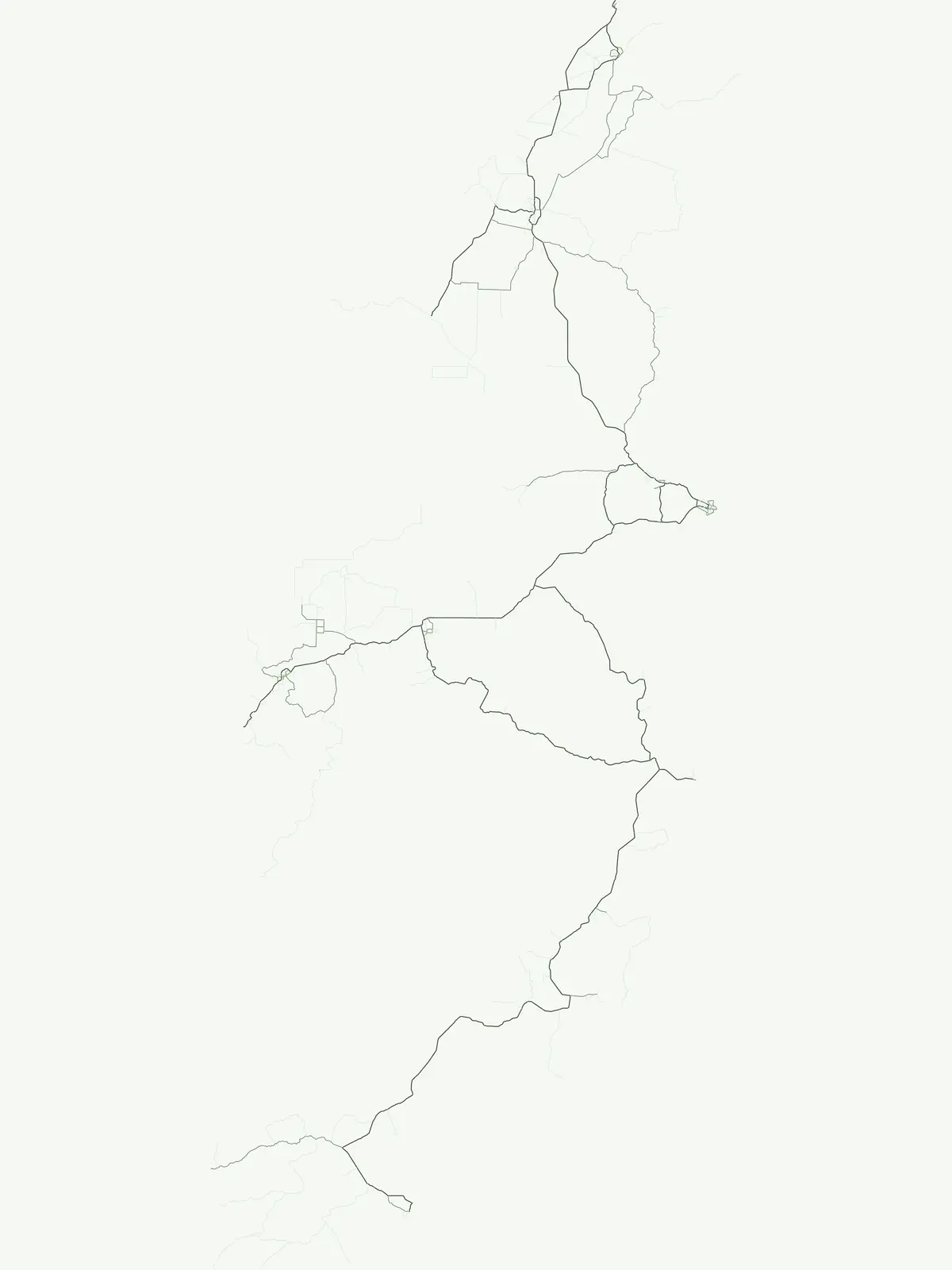
Trace coastal formations and inland terrain across Belizean reserves
Map the Named Natural Features and Landmarks in Belize Protected Areas
Atlas of hydrologic features and park landscapes
Rivers
Explore the distribution and geographic context of rivers associated with the protected lands of Belize. The data covers defined natural watercourses, highlighting how these systems traverse the terrain and interact with various protected areas throughout the country.
Mapped coastal terrain in national parks
Islands
Browse the collection of islands identified within the protected areas of Belize. These records provide geographic insight into individual landforms, their relationship to the Caribbean coastline, and their formal designation within the national conservation network. Access detailed mapping and spatial data for islands that contribute to the unique physical geography of this Central American nation.
A geographic atlas of summits across Belizean territory
Peaks
Access a structured inventory of named peaks and high points found inside the protected landscape network of Belize. This atlas-focused resource highlights specific summit identities, topographic prominence, and the physical relationship between individual features and their surrounding park environments.
Examining land-water configurations across Belizean coastal territories
Peninsulas
This geographic collection identifies specific peninsula features throughout Belize, mapping their physical extent and relationship to the national system of protected areas. Gain insight into the coastal terrain that defines the interaction between the Belizean mainland and the adjacent Caribbean maritime environment through precise spatial documentation.
Belize: park list
Open the park list for Belize to explore locations and park characteristics.