
Tracing geographic patterns and environmental characteristics across national protected areas
Comprehensive Atlas of Natural Features and Mapped Protected Landscapes within Belize
This geographic collection organizes various natural features associated with protected areas across the diverse landscape of Belize. By examining these formations alongside park boundaries, users can better understand the regional distribution of coastal, forest, and marine terrain. The data provides a structural perspective on how specific natural landmarks relate to the broader ecological context of the country.
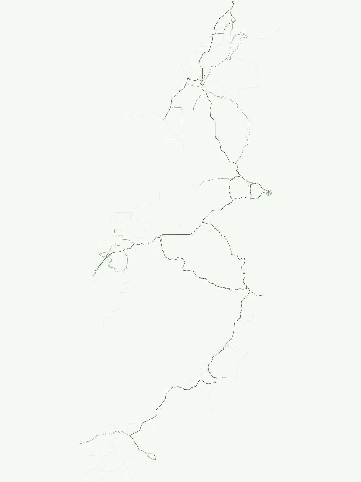
Trace coastal formations and inland terrain across Belizean reserves
Map the Named Natural Features and Landmarks in Belize Protected Areas
Atlas of hydrologic features and park landscapes
Rivers
Explore the distribution and geographic context of rivers associated with the protected lands of Belize. The data covers defined natural watercourses, highlighting how these systems traverse the terrain and interact with various protected areas throughout the country.
A geographic atlas of summits across Belizean territory
Peaks
Access a structured inventory of named peaks and high points found inside the protected landscape network of Belize. This atlas-focused resource highlights specific summit identities, topographic prominence, and the physical relationship between individual features and their surrounding park environments.
Continue Exploring Protected Landscapes Across Belize's National Parks
Deepen your understanding of Belize's protected areas by continuing your atlas exploration. This destination allows for a structured comparison of national parks and protected landscapes, providing detailed geographic context for each site. Utilize this resource to trace the country's conservation network and enhance your appreciation for its natural terrain and mapped boundaries.