
Mapping the topographic diversity and natural landmarks across Georgian protected landscapes
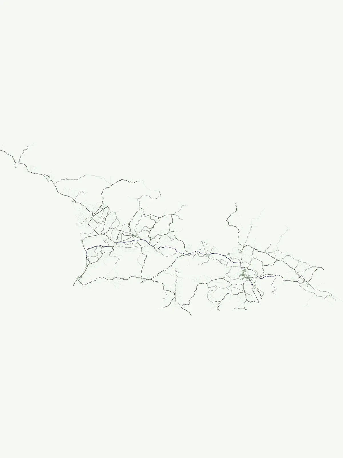
Georgia National Park and Protected Area Natural Feature Atlas and Geographic Regional Map
This geographic collection documents named natural features found within the protected areas of Georgia. The data links specific landscape types to their regional context, providing a structural view of mountain chains, volcanic formations, and coastal terrain. Users can trace how individual natural landmarks define the ecological character of protected zones across the national territory.
Two named features linking Mtirala and Vashlovani park geography
Discover Georgia’s park-associated peak and river records
Topographic summit data across Georgian landscapes
Peaks
Access a structured dataset of named peaks found throughout the mountainous regions of Georgia. This collection provides location and classification context for individual summits situated within protected natural areas, offering insight into the elevation and physical prominence of landforms across the nation.
Geographic watercourse atlas for Georgian protected landscapes
Rivers
Examine the geography of significant rivers and watercourses documented within the protected lands and national parks of Georgia. This resource provides a clear spatial view of river basins, tributary channels, and their physical integration into the surrounding protected mountainous and lowland terrain.
Continue Exploring Georgia's National Parks and Protected Landscapes
Deepen your understanding of Georgia's natural geography by exploring its diverse network of national parks and protected areas. This browseable list provides essential context for each protected landscape, facilitating a more detailed study of the country's conservation efforts and mapped terrain. Discover related protected areas and expand your geographic knowledge beyond individual sites.