

Mori Atlas logo
Country natural feature index

Geographic analysis of river systems associated with diverse protected terrains throughout the country.

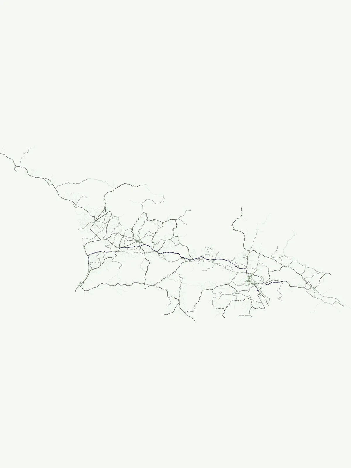
Mapped Rivers and Natural Watercourse Landscapes Across National Parks in Georgia

This collection features substantial natural watercourses, including rivers and their associated tributary systems, located within the protected landscapes of Georgia. The data focuses on the physical geography of these channels as they traverse protected terrains, providing a clear perspective on how water systems define the regional landscape. Users can examine individual river reaches and their topographic relationships within the national park network.

Mapped Rivers and Natural Watercourse Landscapes Across National Parks in Georgia

Compare 28 Georgian rivers across park records led by Kolkheti, Kazbegi and Mtirala

Named River entities in Georgia's protected Caucasus and Black Sea context

Georgia’s river page brings together named natural watercourses associated with protected parks, distinguishing every river from its tributary streams and broader basin. This Georgian river comparison highlights identities and park links without inventing length, discharge, source, mouth, seasonal behavior, navigability, or exhaustive national coverage.

No natural features found

Other countries

Expand your atlas exploration, comparing protected landscapes and national park geographies beyond Georgia.

Discover Other Countries' National Parks and Protected Areas from Georgia

Browse national parks and protected areas in countries geographically related to Georgia, expanding your understanding of regional conservation efforts. This offers a valuable atlas perspective, allowing you to compare diverse terrains and protected-area frameworks across the broader Caucasus and Black Sea regions.
New Zealand

New Zealand Rivers: Atlas of Mapped Natural Watercourses in Protected Park Territories

Investigate the geographic significance of major river systems flowing through New Zealand protected areas. This structured data resource provides insights into natural watercourse channels, their regional connections, and how they define the physical landscape within various national parks and wild spaces.

233 features

United Kingdom

River Landscapes and Watercourses in United Kingdom National Parks and Protected Areas

Examine named river systems and their segments across United Kingdom protected landscapes. This collection highlights the connection between natural watercourses and park boundaries, offering a clear geographic overview of riverine terrain, tributaries, and floodplains found within these conserved regions.

146 features
Australia

Atlas of River Systems and Natural Watercourses in Australia Protected Landscapes

Examine the distribution of river systems associated with national parks and protected areas throughout Australia. This atlas provides structured data on natural watercourses, focusing on their role in defining terrain and landscape character within established regional conservation boundaries.

118 features
United States of America

Rivers in the United States of America: A National Park and Protected Landscape Atlas

Browse the diverse river systems found within the protected regions and national parks of the United States of America. This collection maps individual watercourses and their relationships to local terrain, providing a clear perspective on the geography of natural river channels and basin landscapes.

80 features
France

France Rivers within National Parks and Protected Landscapes: A Regional Atlas

Access a curated record of rivers identified within the national parks and protected land systems of France. This atlas provides geographic clarity on watercourses, their basin relationships, and their presence within specific protected natural zones across the French territory.

53 features
Canada

Rivers and Major Watercourses across Canada National Parks and Protected Areas

Review identified rivers and watercourse segments located within Canada national parks. This collection offers a structured way to observe how major river systems carve through protected landscapes, focusing on the mapping of channels, tributaries, and basins throughout the country.

41 features
Italy

Italy River Network: Geographic Analysis of Protected Park Watercourses

Access a structured inventory of rivers associated with the protected geography of Italy. This collection provides regional context for natural watercourses, identifying how individual river segments, basins, and seasonal reaches correlate with formal park boundaries across the peninsula.

39 features
South Africa

Rivers and Major Waterways within South Africa Protected National Parks Atlas

Gain insight into the rivers associated with protected areas across South Africa. This collection maps significant watercourses and explores their relationship with the natural landscapes of national parks, focusing on geographic markers, flow channels, and basin topography within the country.

36 features
Natural feature types

Two exact feature types connect separate Georgian national parks

Continue from Georgia’s river record to its represented peak

Georgia’s river route contains one recorded entity associated with Vashlovani National Park, and the only other represented category is one peak linked with Mtirala National Park. Moving between those two type collections reveals distinct park geography without implying that a peak and river are interchangeable or that the atlas covers every Georgian landmark.

Topographic summit data across Georgian landscapes

Peaks

Access a structured dataset of named peaks found throughout the mountainous regions of Georgia. This collection provides location and classification context for individual summits situated within protected natural areas, offering insight into the elevation and physical prominence of landforms across the nation.

1 feature1 park
Mountain Peaks in Georgia
MoriAtlas Explorer

View the Complete Collection of Georgia Natural Features and Protected Landscapes

Gain insight into the geographic distribution of natural landmarks across Georgia. This MoriAtlas collection offers a structured approach to viewing features tied to protected areas, helping users understand the complex terrain and environmental character of the nation through detailed mapping and regional context.





