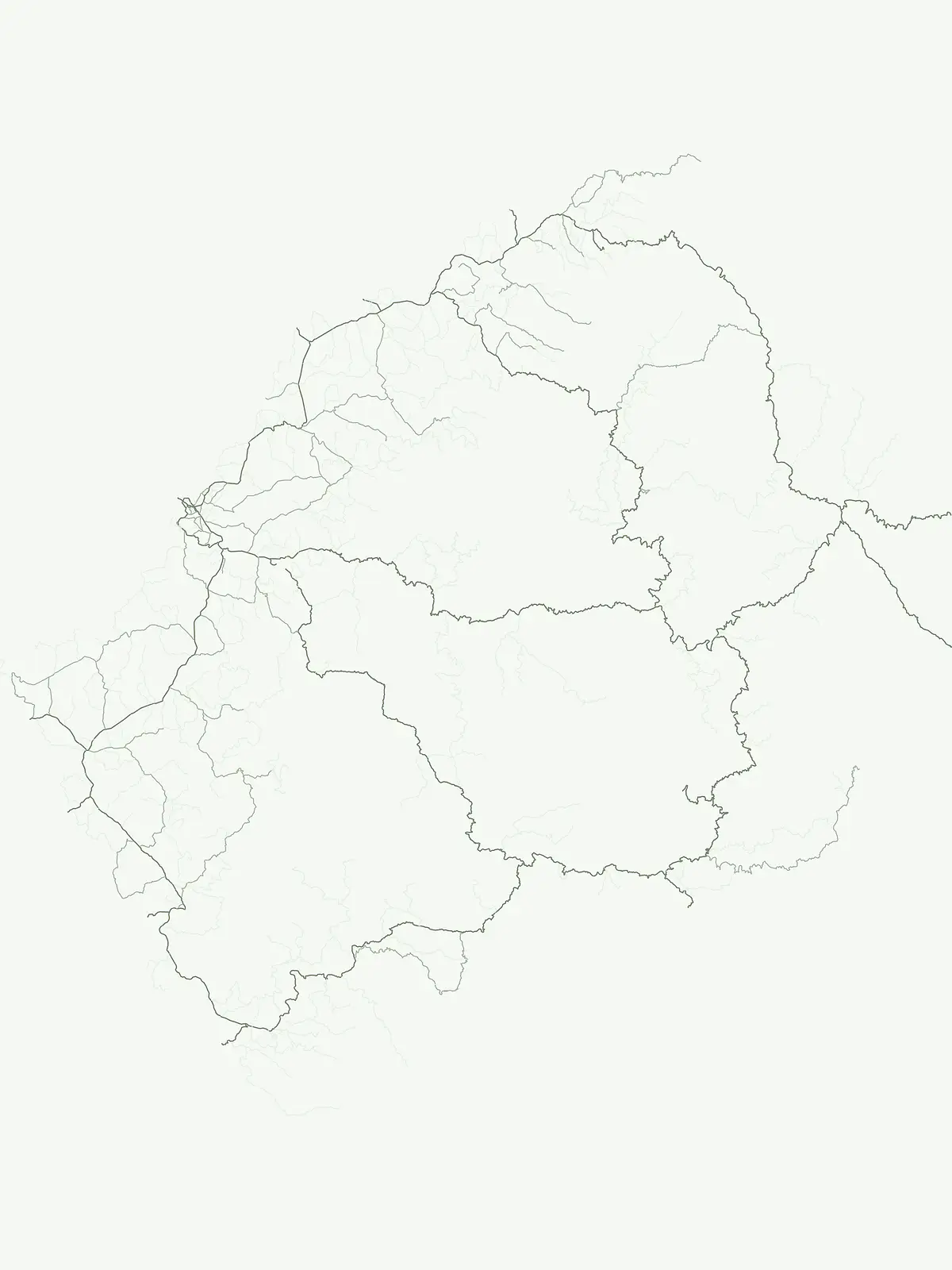
Mapping protected natural areas across the high altitude Maloti Mountains and beyond
Comprehensive Atlas of Protected Areas and Conservation Sites Located in Lesotho
This geographic resource provides a structured index of protected areas within Lesotho, capturing landscapes that fall under generalized conservation status. By examining these sites, users gain insight into the distribution of protected natural terrain, including significant highland wetlands and montane ecosystems. The collection serves as an essential component of the regional park atlas, tracing the boundaries of protected lands throughout the mountain kingdom.
Flexible country indexing for protected natural sites across the Maloti Mountains
Protected Area in Lesotho: Exploring National Conservation Landscapes
General conservation sites in Lesotho encompass specialized wetland reserves and highland habitats outside rigid administrative buckets. Tracing these protected areas helps map regional biodiversity and mountain geography within the southern African enclave.
Protected Area Parks in Lesotho: Mapped Geography and Conservation Sites
Examine filtered conservation sites and protected natural areas located throughout the high altitude terrain of Lesotho. Utilize this targeted park index to evaluate individual reserve records and study regional environmental boundaries.
Protected areaQuthing DistrictMountain
Lake Letsie
Mapping a unique Afroalpine reservoir and its surrounding catchment
Situated in the Quthing District of Lesotho, Lake Letsie is an essential protected landscape characterized by its shallow freshwater basin and high-altitude wetland habitat. This site provides critical insights into Afromontane biodiversity, regional water management, and the ecological impact of transboundary environmental factors on highland terrain.
More designation routesExplore alternative conservation classifications and park categories across Lesotho2
Compare Other Protected Area Designations and Park Types in Lesotho
Examine adjacent park categories and conservation groups to understand the broader protected landscape of Lesotho. Comparing alternative designation types reveals how different management frameworks protect natural sites across the country.
Discover the mapped boundaries of Lesotho's national parks.
National park
50%
Access a detailed view of Lesotho's national parks, focusing on their protected area status and geographic relevance. This country-specific atlas entry helps you understand the distribution and landscape context of these nationally significant reserves, highlighting their importance for conservation and exploration within the Maloti Mountains and beyond. Understand the unique role national parks play in Lesotho's protected lands.
Concentrated protected sites and landmark geography
Natural monument
25%
Browse the atlas of natural monuments in Lesotho to identify protected landmarks defined by their geological or scenic uniqueness. This index serves as a focused resource for finding compact, highly significant protected sites across the nation.