
Mori Atlas logo
Nature reserveBruchwiesen bei Mengshausen

Understanding the mapped boundaries, riparian terrain, and floodplain ecology of this protected wetland site

Bruchwiesen bei Mengshausen Nature Reserve: An Essential Protected Landscape in the Fulda Valley

(Naturschutzgebiet Bruchwiesen bei Mengshausen)

Bruchwiesen bei Mengshausen stands as a significant nature reserve within the broad floodplain of the River Fulda in eastern Hesse, Germany. This protected area preserves a complex mosaic of wet meadows, reed-fringed pools, and marsh habitats that serve as a refuge for threatened meadow and marsh bird species. By integrating year-round grazing with habitat restoration, the site maintains a character reflective of the natural river valley terrain before widespread agricultural modification. The reserve is fully embedded within the regional European conservation network, emphasizing its importance in the broader riparian geography of the Fulda valley.

wetlandfloodplain meadownature reservebird protection areaFFH habitatconservation grazing
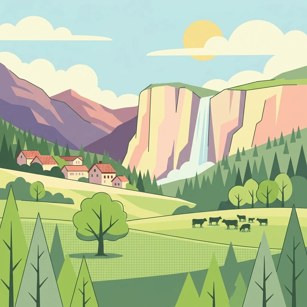
A colorful digital illustration of a pastoral mountain scene featuring a tall waterfall plunging between cliffs, a small cluster of houses with red roofs, and a herd of cattle grazing in a green meadow.

Bruchwiesen bei Mengshausen

Nature reserve

Park overview

Structured park overview, official facts, and landscape profile for Bruchwiesen bei Mengshausen

Bruchwiesen bei Mengshausen park facts, protected area profile, and essential visitor context

Review the core facts for Bruchwiesen bei Mengshausen, including designation, size, terrain, visitor scale, habitats, and operating context in one park-focused overview.

About Bruchwiesen bei Mengshausen

Bruchwiesen bei Mengshausen is a compact wetland reserve in the Fulda river floodplain in eastern Hesse. It sits northeast of Mengshausen, a village belonging to the market town of Niederaula in the Landkreis Hersfeld-Rotenburg, and belongs to the Kämmerzell-Hersfelder Fuldatal natural area within the broader Osthessisches Bergland. The reserve preserves a small but ecologically valuable patch of the once more extensive wet meadow landscape that historically characterized the Fulda valley.

The site developed into a nature reserve after traditional agricultural use of these damp meadows was abandoned in the second half of the twentieth century. Without mowing or grazing, the land gradually became a marshy fallow, with reed beds, sedge stands, and small pools forming alongside drier grassland patches. These conditions proved attractive to a number of bird species typical of damp meadows and reedbeds, including species of conservation concern in Hesse, while the mosaic of wetter and drier zones also supports amphibians, insects, and other small animals.

What makes the reserve distinctive is the role of Heck cattle (Heckrinder) in its modern management. Since 2004, a hardy herd has grazed the area year-round, replacing the costly mow-and-remove regime previously required to maintain the open habitat. The grazing creates a varied mosaic of short grass, taller vegetation, and disturbed ground that benefits meadow birds and increases overall invertebrate diversity. The site is small in absolute terms, but its full inclusion in two larger European conservation networks gives it an importance well beyond its area.

Quick facts and research context for Bruchwiesen bei Mengshausen

Bruchwiesen bei Mengshausen is a nature reserve (Naturschutzgebiet) in the Landkreis Hersfeld-Rotenburg in the Osthessisches Bergland region of eastern Hesse, located in the floodplain of the River Fulda. The site covers about 10.4 hectares and lies at an elevation of roughly 206 to 213 meters above sea level.

It is part of the larger Fulda floodplain landscape between Rotenburg and Niederaula, with most of the surrounding land used intensively as grassland. Because of its ecological importance for marsh and meadow birds, it has been integrated into the EU-wide network of protected areas as both a Fauna-Flora-Habitat site and a Bird Protection Area.

Protection and recognition

Documented terrestrial protection scope and conservation records

Bruchwiesen bei Mengshausen Protection Status and Recognition Data

Bruchwiesen bei Mengshausen maintains a recorded terrestrial protection status within official international conservation registries. Official records compile designated management frameworks, administrative scope, and recognized territorial boundaries without additional international overlay programs.

Protection details

Protection scope
Terrestrial
Transboundary protection
No
WDPA ID
162589
Park context

Deeper park guide and search-rich context for Bruchwiesen bei Mengshausen

Bruchwiesen bei Mengshausen history, landscape, wildlife, and travel context

Explore Bruchwiesen bei Mengshausen through its history, landscape character, ecosystems, wildlife, conservation priorities, cultural context, and seasonal travel timing in a structured park guide built for atlas discovery and search intent.

Why Bruchwiesen bei Mengshausen stands out

Bruchwiesen bei Mengshausen is best known for its combination of fallow wet meadow habitat and Heck cattle grazing as a conservation tool. It is recognized as an important refuge for declining meadow and marsh bird species, including species such as snipe and lapwing that are threatened or endangered in Hesse. The reserve also plays a role in protecting the broader Fulda floodplain ecosystem, contributing to one of the most significant resting and wintering areas for waterfowl, waders, and meadow birds in the region. Its inclusion in the FFH area "Obere und Mittlere Fuldaaue" and the bird protection area along the Fulda valley gives it a meaningful place in the European network of protected wetland sites.
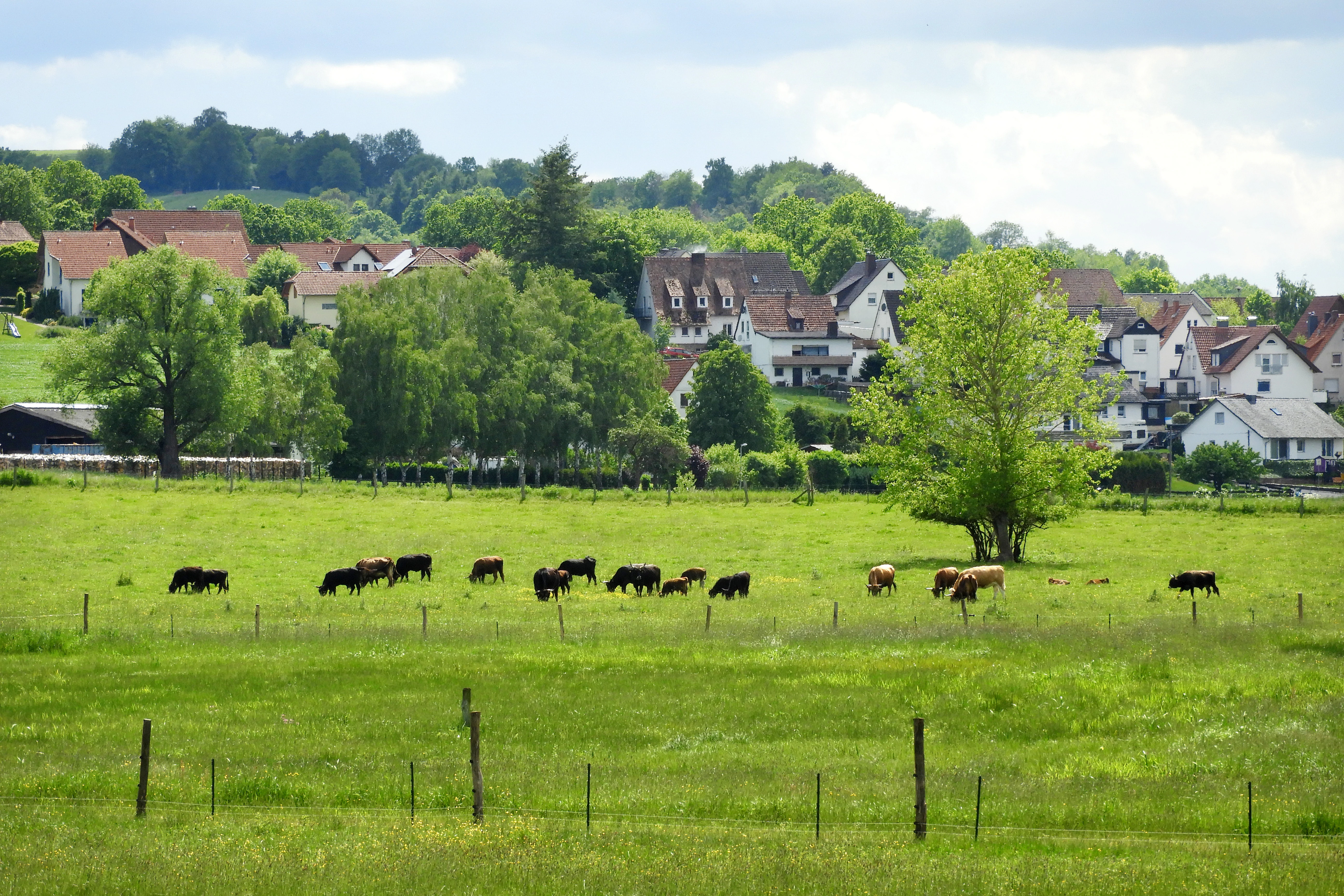
A green pasture with a herd of cattle grazing, set against a backdrop of a small village and rolling hills under a cloudy sky.
Cattle grazing in the wetlands of Bruchwiesen bei Mengshausen with the village in the background.

Bruchwiesen bei Mengshausen history and protected-area timeline

The Bruchwiesen bei Mengshausen developed as a wetland after traditional use of the floodplain meadows was given up. Although the wider Fulda floodplain has long been shaped by agricultural use, this particular area was allowed to fall fallow, creating a mosaic of reedbeds, sedge stands, and damp meadows. As conditions became increasingly marshy, the site gained ecological value as a refuge for meadow and marsh bird species whose populations were in decline.

In response, the area was formally designated as a Naturschutzgebiet by the Bezirksdirektion für Forsten und Naturschutz at the Regierungspräsidium Kassel on 1 December 1987. Thechutzbehörden für die Vogelschutzgebiet the goal of the designation was to protect the wet habitat and its associated bird species while allowing extensive grassland use to continue in a regulated way. The site's national identifier is 1632014 and the World Database on Protected Areas code is 162589.

A further conservation milestone came with the site's inclusion in two larger European networks: the Fauna-Flora-Habitat area "Obere und Mittlere Fuldaaue" and the Bird Protection Area "Fuldatal zwischen Rotenburg und Niederaula." These designations extended the significance of the reserve from a local protection measure to a recognized component of floodplain and bird conservation across Hesse. Since 2004, Heck cattle have been used as the principal management tool, marking a shift from mowing-based maintenance to year-round grazing as a means of preserving the open, varied habitat.

Bruchwiesen bei Mengshausen landscape and geographic character

The landscape of the Bruchwiesen bei Mengshausen is shaped by the broad floodplain of the River Fulda. Although the floodplain itself is largely flat, it lies within a wider region of gently rolling terrain classified as the Fulda-Haune-Tafelland and the Osthessisches Bergland. To the east, the reserve borders the slightly higher Rombach-Hochflächen, marking the transition from river valley to plateau.

Within this setting, the reserve sits as a relatively low-lying stretch of damp ground at roughly 206 to 213 meters above sea level. The terrain is open and treeless, with views across the meadows toward the distant village of Niederaula. Several field paths cross the area, allowing visitors to look out over the wet grassland and observe the way the habitat combines open meadow, small pools, reed-fringed patches, and drier zones grazed by cattle.

The wider Fulda floodplain landscape has been heavily modified by agriculture, settlement, transport infrastructure, and industry, but the Bruchwiesen retain a more natural floodplain character. The meadows, reedbeds, and small water bodies reflect conditions similar to those that once dominated larger stretches of the river valley, giving the small reserve a representative role within the regional landscape.
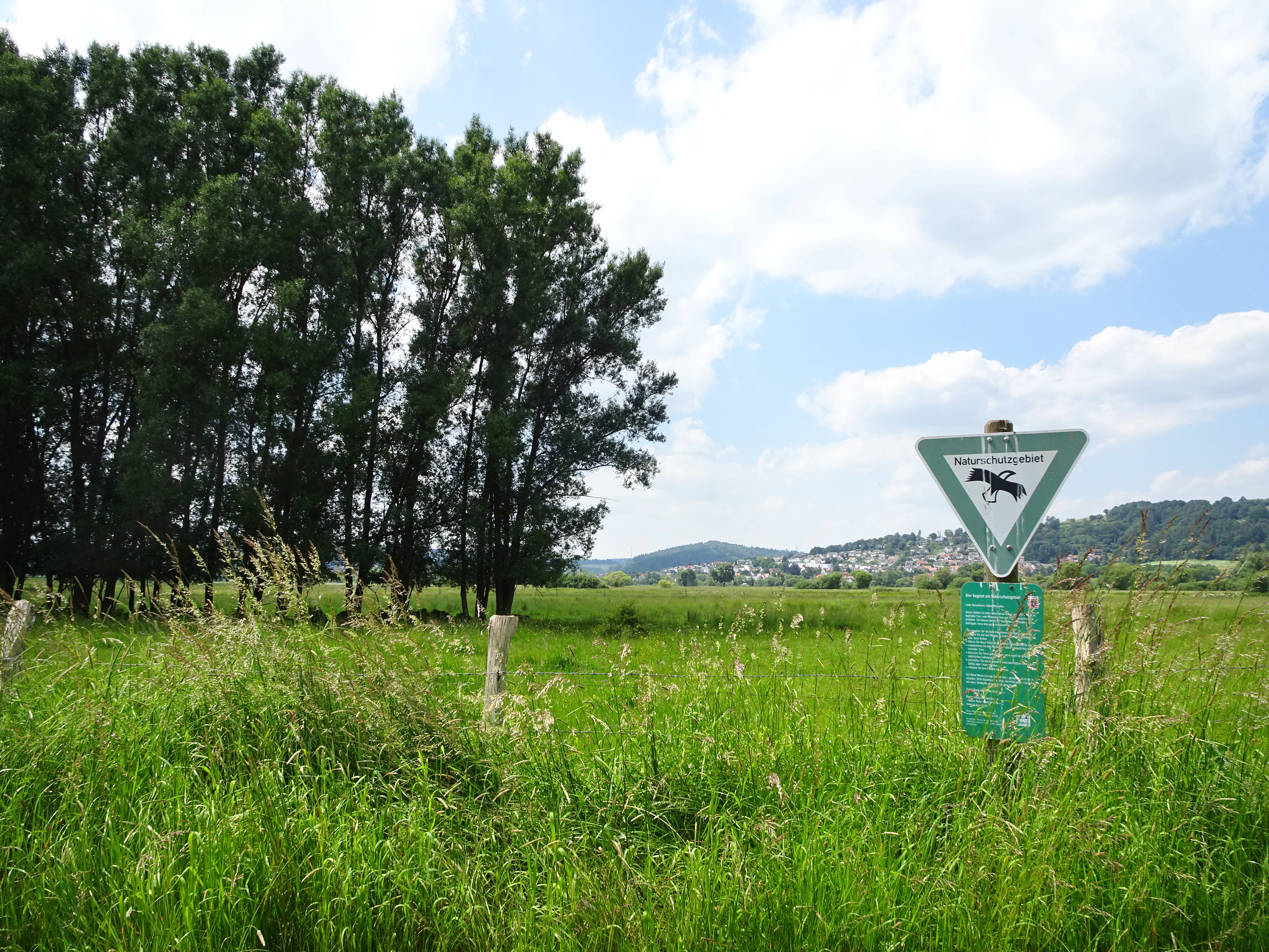
A triangular green German nature reserve sign stands in a grassy meadow, with a line of tall trees to the left and hills in the distance.
A nature reserve sign marks the entrance to the marshy meadow landscape of Bruchwiesen bei Mengshausen.

Bruchwiesen bei Mengshausen ecosystems, habitats, and plant life

The Bruchwiesen bei Mengshausen protect a small but characteristic example of a damp floodplain meadow ecosystem. The habitat mosaic includes wet meadows (Feuchtwiesen) dominated by tall grasses, reed beds of common reed, dense stands of sedges, and patches of rushes. Small shallow pools have been created within the reserve, supporting both aquatic invertebrates and amphibians.

Vegetation varies across the site because the Heck cattle use different areas unevenly. The wetter zones with reeds, sedges, and rushes are largely avoided by the herd, allowing them to develop into denser vegetation, while the drier parts of the meadow are kept short by grazing. This contrast between tall marshy areas and short grazed turf creates the structure that supports the reserve's bird, amphibian, and invertebrate populations.

The reserve forms part of the larger FFH area "Obere und Mittlere Fuldaaue," which is valued for its regularly flooded meadows, species-rich oat-grass meadows, near-natural riparian woodland, and old river arms. Together with these surrounding habitats, the Bruchwiesen help maintain a functioning floodplain ecosystem that retains elements of the natural Fulda valley environment.

Bruchwiesen bei Mengshausen wildlife and species highlights

Wildlife is the central focus of the Bruchwiesen bei Mengshausen. The reserve is known especially for its birdlife, which includes several meadow and marsh species of conservation concern. Notable species documented in the area include marsh harrier, reed bunting, snipe (Bekassine), which is considered threatened with extinction in Hesse, and lapwing (Kiebitz), also endangered in the state. The reserve lies within the larger "Fuldatal zwischen Rotenburg und Niederaula" bird protection area, recognized for its importance as a resting, wintering, and breeding site for waterfowl, waders, and meadow birds such as common snipe, goosander, osprey, little ringed plover, common sandpiper, white stork, kingfisher, lapwing, snipe, and red-backed shrike.

Beyond birds, the reserve supports amphibians such as water frogs and alpine newts, the only amphibians specifically highlighted in the source material, though the broader mix of wet meadow and pool habitats suggests a wider amphibian presence. The site's invertebrate fauna is particularly significant in the context of the grazing management: dung deposits left by the Heck cattle sustain rich populations of insect larvae and other small invertebrates through the winter, while beetles, ground spiders, web-building spiders, grasshoppers, and butterflies are all more abundant on grazed areas than on mown-only meadows.

The overall mosaic of wet and dry zones, broken ground, hoofprints, dung, and varied vegetation makes the reserve a productive habitat for small animals as well as for the birds that depend on them for food.

Bruchwiesen bei Mengshausen conservation status and protection priorities

Bruchwiesen bei Mengshausen is primarily a habitat- and species-focused conservation area, classified in the IUCN system as a Category IV protected area, meaning active management is used to conserve particular habitats and species. The site's designation as a Naturschutzgebiet in 1987 formally recognized the value of its damp meadows, reedbeds, and marshy ground for declining meadow and marsh birds, and committed it to long-term protection.

The reserve's conservation importance is amplified by its integration into larger European networks. As part of the FFH area "Obere und Mittlere Fuldaaue," it contributes to the protection of regularly flooded meadows, species-rich oat-grass meadows, near-natural riparian woodland, and old river arms, with particular recognition for its significance for migratory and resting birds and for the dusky large blue butterfly (Maculinea nausithous). As part of the Bird Protection Area "Fuldatal zwischen Rotenburg und Niederaula," it supports one of the most important floodplain bird habitats in Hesse.

The site is also a notable example of conservation grazing in practice. The introduction of Heck cattle in 2004 transformed habitat management from expensive annual mowing into a more natural grazing regime that maintains open conditions, creates habitat structure, and increases biodiversity. The reserve thus demonstrates how a small, intensively managed site can play a wider role within a regional and European conservation framework.

Bruchwiesen bei Mengshausen cultural meaning and human context

The Bruchwiesen bei Mengshausen are embedded in a rural landscape shaped by long-standing agricultural use of the Fulda floodplain. Although the wider floodplain is dominated today by intensive grassland, this particular stretch reflects the transition away from traditional use toward nature conservation, with the fields now maintained as a protected wetland rather than as productive farmland.

The Heck cattle themselves have a cultural dimension. The breed was developed to resemble the extinct aurochs and represents an effort to combine conservation grazing with a sense of regional natural heritage. Their year-round presence on the meadows is part of a programme managed in cooperation with the Naturschutzbund Deutschland (NABU). The Fulda-Radweg, a long-distance cycle route that follows the Fulda from its source near the Wasserkuppe to Hann. Münden, also passes close to the reserve, linking the site to a broader regional tradition of outdoor recreation along the river.

Top sights and standout views in Bruchwiesen bei Mengshausen

The reserve's strongest features are its mosaic of wetland habitats, its use of Heck cattle as a year-round grazing conservation tool, and its fully embedded position within two major European conservation networks along the Fulda. It is a key refuge for endangered meadow and marsh birds such as snipe and lapwing, and a recognized contribution to one of Hesse's most important floodplain bird areas.

Best time to visit Bruchwiesen bei Mengshausen

Bruchwiesen bei Mengshausen is most rewarding for visitors in spring and early summer, when breeding marsh and meadow birds are most active and the contrast between grazed short turf and tall reedbeds is at its peak. Late spring is also when the reserve's beetle populations reach their highest levels, supporting richer bird and small-animal activity.

Winter brings a different character: grazing Heck cattle remain on the meadows, and the invertebrate life on and around dung deposits can attract birds even in colder periods. For wider floodplain bird viewing, the cooler months can also correspond to the main passage and wintering period for waterfowl using the Fulda valley. A visit at any time of year can be combined with the nearby Fulda-Radweg cycle route for a broader view of the valley landscape.

Monthly climate preview

Measured monthly weather averages and historical temperature ranges for Bruchwiesen bei Mengshausen

Bruchwiesen bei Mengshausen Climate Normals, Long Term Temperature and Precipitation Patterns

Bruchwiesen bei Mengshausen records long term monthly temperature and precipitation data based on historical coordinate sampling from 1991 to 2020. Reviewing the complete twelve month profile provides deeper insight into measured climate normals across the protected area.
Annual mean9 °C
-1 °C19 °C
Jan-1°
Feb
Mar
Apr
May12°
Jun16°
Jul19°
Aug18°
Sep14°
Oct
Nov
Dec
Warmest month
July

18.6 °C

Coolest month
January

-0.8 °C

Wettest month
July

2.5 mm/day

Driest month
April

1.4 mm/day

Park location guide

Geography guide, regional context, and park location map for Bruchwiesen bei Mengshausen

Bruchwiesen bei Mengshausen park geography, regions, and map view in Germany

Understand where Bruchwiesen bei Mengshausen sits in Germany through a broader geographic reading of the surrounding landscape, nearby location context, and its mapped position within the national park landscape.

How Bruchwiesen bei Mengshausen fits into Germany

Germany is a federal republic in Western and Central Europe with a population of over 83 million across sixteen constituent states. It is Europe's largest economy by nominal GDP and a major global exporter and importer. The capital is Berlin, and the country borders Denmark, Poland, Czech Republic, Austria, Switzerland, France, Luxembourg, Belgium, and the Netherlands.

Wider geography shaping Bruchwiesen bei Mengshausen in Germany

Germany is located in Western and Central Europe, spanning 357,022 km². It borders Denmark to the north, Poland and the Czech Republic to the east, Austria and Switzerland to the south, and France, Luxembourg, Belgium, and the Netherlands to the west. The country has coastlines on the Baltic Sea and North Sea to the north, with the Alps located in the southern region.

Map view of Bruchwiesen bei Mengshausen

Use this park location map to pinpoint Bruchwiesen bei Mengshausen in Germany, understand its exact geographic position, and read its mapped placement within the surrounding landscape more clearly.

Pigeon | © OpenStreetMap contributors

Visual reference of wet meadow habitats, floodplain terrain, and valley environments.

Bruchwiesen bei Mengshausen Photos, Landscapes, and Protected Scenery

Visual documentation captures the open floodplain terrain, wet meadows, and reed beds defining Bruchwiesen bei Mengshausen. Detailed field imagery reveals the habitat structure, grazing management zones, and protected wetland character across the Fulda valley.

A green pasture with a herd of cattle grazing, set against a backdrop of a small village and rolling hills under a cloudy sky.

A wide, grassy meadow in the foreground with isolated trees, leading to rolling hills and a forested ridgeline under a blue, partly cloudy sky.

A triangular green German nature reserve sign stands in a grassy meadow, with a line of tall trees to the left and hills in the distance.

Park atlas

Compare regional wetlands, river floodplains, and connected conservation areas.

Explore Parks Near Bruchwiesen bei Mengshausen and Surrounding Protected Landscapes

Browse other protected areas and wetland reserves located near Bruchwiesen bei Mengshausen in eastern Hesse. Comparing adjacent river valley habitats and regional terrain provides deeper geographic context for floodplain conservation.
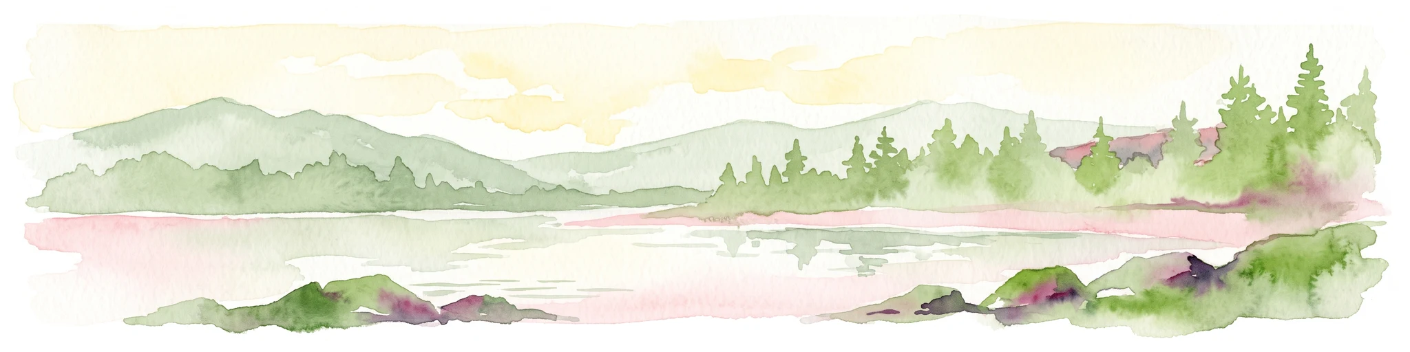
A horizontal watercolor painting showing a calm river or lake with aquatic plants, cattails, and pink lily blossoms against a backdrop of soft green hills.
Nature reserveHesse
About 4.5 km away#1 closest

Northeast

Alte Fulda bei Asbach Nature Reserve: Mapped Geography and Floodplain Habitat Context

Protected river valley landscapes in the state of Hesse, Germany

The Alte Fulda bei Asbach reserve represents a compact yet ecologically significant floodplain in the middle Fulda valley. This protected area preserves a rare, near-natural oxbow environment, wet meadows, and riparian forests, offering a detailed case study for the study of river valley geography, sediment layers, and conservation-based landscape management in Central Germany.

Area
0.12 km²
Established
1984
IUCN
IV
Relief
Lowland
A horizontal watercolor painting showing a calm lake or pond with grassy banks and pine trees in the background, with soft mountain silhouettes under a pale sky.
Nature reserveHessen
About 13 km away#2 closest

South

Sandgrube am Mahlertshof Nature Reserve: Geography and Protected Area Context

A compact wetland sanctuary in the Hessen region of Germany.

Explore the structured landscape of Sandgrube am Mahlertshof, where former sand extraction pits have evolved into a complex of four ponds. This protected area in the municipality of Burghaun offers a prime example of ecological restoration, blending open water and marshy shorelines into a dense woodland environment that supports diverse amphibian and avian life.

Area
0.044 km²
Established
1992
Relief
Lowland
Climate
Temperate
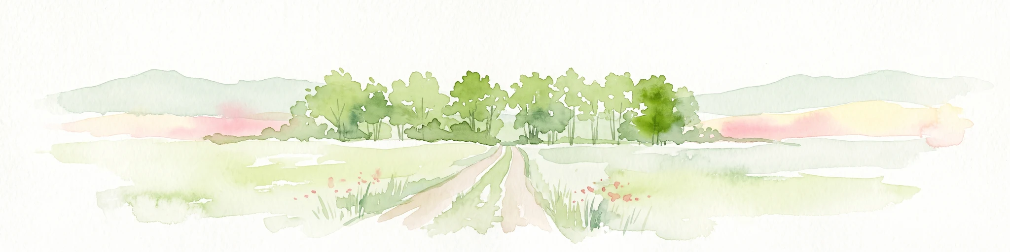
Watercolor illustration of a dirt path leading through green fields towards a distant line of trees and rolling hills against a white background.
Nature reserveHesse
About 18 km away#3 closest

Northwest

Buchenbachtal bei Christerode Nature Reserve: Protected Landscape and Regional Geography

Mapped stream corridors and wet meadow ecosystems in Hesse

Located in central-western Germany, Buchenbachtal bei Christerode focuses on the conservation of small low-mountain streams and broadleaf forest transition zones. This nature reserve provides a essential look at riparian habitat management and the traditional agricultural integration that shapes the natural terrain of the northern Hessian region.

Area
120.5 km²
Established
1995
Water
Major water bodies
A soft, impressionistic watercolor painting of a serene landscape featuring rolling green hills, lush vegetation, and a calm, reflective lake in the foreground.
Nature reserveHesse
About 18 km away#4 closest

Northeast

In den Weiden bei Blankenheim: A Protected Wetland Sanctuary in the Hessian Fulda Valley

Mapping riparian floodplains and bird migration corridors in central Germany.

The In den Weiden bei Blankenheim nature reserve preserves a compact yet ecologically dense floodplain lake environment. Managed as a crucial component of the regional Fulda valley river corridor, it demonstrates the successful conversion of post-industrial gravel pits into a stable habitat for waterbirds, songbirds, and diverse riparian flora within the Hessian landscape.

Area
0.045 km²
Established
1983
IUCN
IV
Relief
Lowland
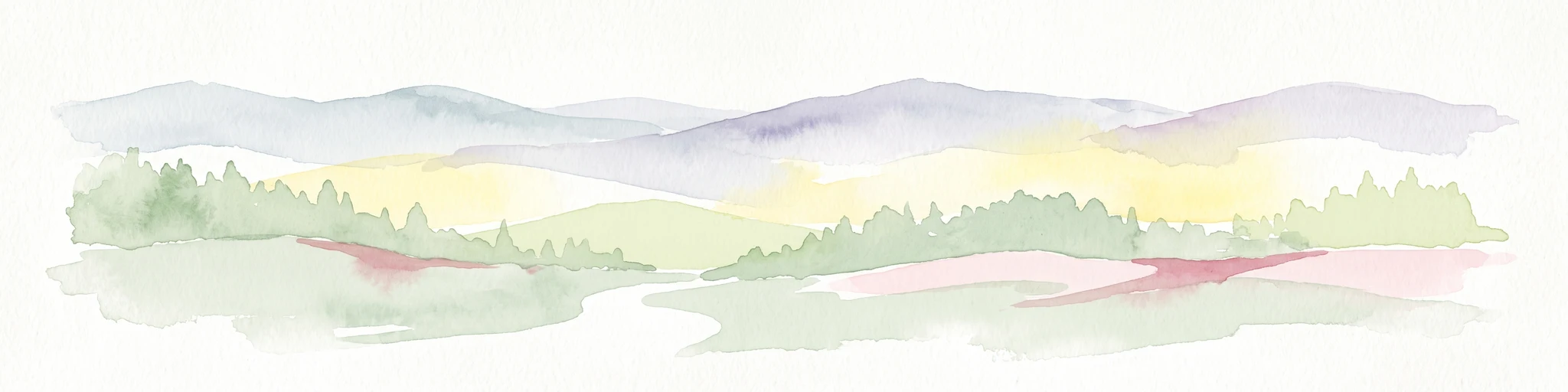
A watercolor painting showing a wide, panoramic view of soft, rolling hills with patches of forest, rendered in muted pastel colors.
Protected landscapeHesse
About 19 km away#5 closest

Northwest

Naturpark Knüll: Geography, Basalt Formations, and Protected Areas of Northern Hesse

An expansive cultural landscape defined by volcanic ridges and riverine habitats

Naturpark Knüll offers a deep look into the geological and structural diversity of the Knüllgebirge. By mapping the transitions between bunter sandstone, basalt hilltops, and fertile floodplains, this resource highlights the region's role in biodiversity conservation and sustainable land management across the Schwalm-Eder and Hersfeld-Rotenburg districts.

Area
832.58 km²
Established
2021
Relief
Mountain
Climate
Temperate
A soft watercolor illustration of rolling green hills under a sparse, light sky.
Nature reserveHessen
About 19 km away#6 closest

East

Landecker Berg: A Detailed Look at the Nature Reserve and Mountain Geography in Hessen

Exploration of the Rhön table mountain and protected landscape.

Landecker Berg presents a classic example of a Triassic limestone massif in the northern Kuppenrhön. This nature reserve, located in the German state of Hessen, offers significant geographic interest due to its flat-topped plateau and dense forest mantle. Navigate the mapped boundaries of this protected area, which features unique geological formations, surrounding castle ruins, and an integral role in the local watershed systems.

Area
1.044 km²
Established
1992
Relief
Mountain
Climate
Temperate
Nature reserveHesse
About 20 km away#7 closest

West

Immichenhainer Teiche Nature Reserve: Protected Wetland and Geographic Map in Hesse, Germany

Mapped wetland refugium in the eastern Hessian uplands

Immichenhainer Teiche is a specialized nature reserve in Hesse, Germany, characterized by a series of ponds that support essential wetland habitats. Positioned within the Osthessisches Bergland, the site provides a compact, protected landscape that contrasts with the surrounding agricultural terrain. This location is recognized both as a formal nature reserve and as a European Natura 2000 FFH site, highlighting its significance for regional freshwater conservation and habitat management.

Area
0.232 km²
Established
1985
IUCN
IV
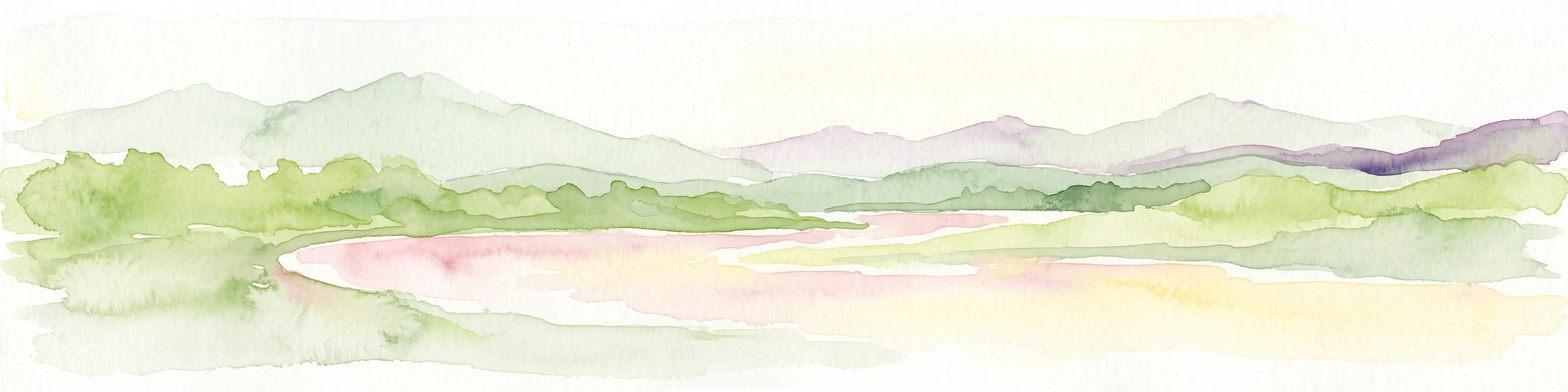
Watercolor painting of a river landscape with lush green vegetation and soft pink hills in the background.
Nature reserveLandkreis Hersfeld-Rotenburg
About 20 km away#8 closest

Northeast

Alte Fulda bei Blankenheim Nature Reserve: Mapping the Fulda Valley Floodplain Ecosystem

Protected riparian landscapes in Landkreis Hersfeld-Rotenburg

Alte Fulda bei Blankenheim is a vital nature reserve featuring a restored oxbow, wet meadows, and secondary flood channels. This site showcases the intersection of traditional land management and modern wetland conservation within the broader landscape of the Fulda valley. Explore the boundaries, terrain, and regional geography of this important Hessian bird sanctuary and floodplain habitat.

Area
0.236 km²
Established
1981
IUCN
IV
Relief
Lowland

Common questions about visiting, size, designation, and location context for Bruchwiesen bei Mengshausen

Bruchwiesen bei Mengshausen FAQs for park facts, access, geography, and protected area context

Find quick answers about Bruchwiesen bei Mengshausen, including protected-area facts, park geography, trail and visitor context, and how the park fits into its surrounding country and regional landscape.
MoriAtlas Explorer

Continue Your Protected Areas Search Across the Global Atlas

Deepen your exploration by continuing the structured search for national parks and protected areas worldwide. Utilize the comprehensive filtering capabilities to compare different conservation landscapes and refine your understanding of global park geography. Discover more about the distribution and characteristics of protected natural areas.

Global natural geography