Mori Atlas logo
Park earthquake history

Review the catalogue of seismic events recorded within the proximity of this high-altitude protected reserve.

Recorded Seismic Activity and Historical Earthquake Data for Reserva de Producción de Fauna Chimborazo

This historical catalogue aggregates earthquake records associated by epicentre distance with the Reserva de Producción de Fauna Chimborazo. Users can browse specific event data including magnitude, depth, and chronological occurrence to understand regional seismic patterns. The collection focuses on providing transparent access to verified seismic data for the Ecuadorian Andes, facilitating a better understanding of the area's geological context through recorded history.

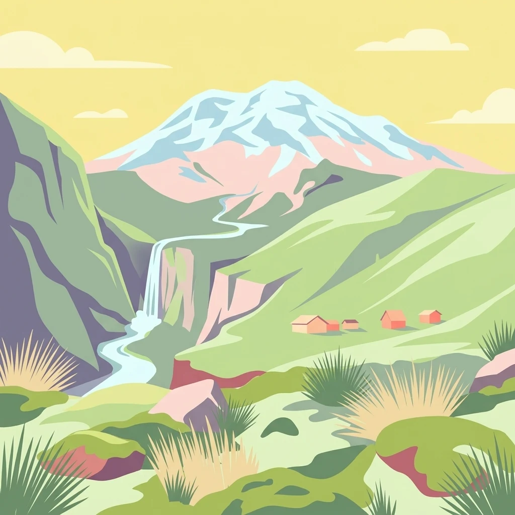
An artistic vector illustration of a snow-capped mountain peak rising above green slopes, a waterfall flowing into a river, and small huts in a valley.

An Andean páramo reserve dominated by Ecuador's highest volcano and its reintroduced vicuñas.

Chimborazo Fauna Production Reserve

The Chimborazo Fauna Production Reserve is a high-altitude protected area in the Ecuadorian Andes that surrounds Mount Chimborazo, the country's tallest peak, and its neighboring volcano Carihuairazo. The reserve was established primarily to anchor a program for the reintroduction of South American camelids, particularly the vicuña, whose grazing helps maintain the native páramo vegetation and protect watersheds. Most of the reserve lies within the páramo ecosystem, the treeless high-altitude grasslands and wetlands that characterize the central Andes above the forest line. The landscape combines volcanic cones, glacial valleys, dry páramo plains, and wet páramos fed by glacial meltwater. The reserve also functions as a major high-Andean water source, feeding rivers that flow both toward the Pacific coast and into the Amazon basin. Managed by Ecuador's Ministry of the Environment under IUCN Category IV, the reserve covers a large swath of communal and private land, much of it still used by rural communities for subsistence farming and limited livestock grazing. Its combination of volcanic scenery, endemic páramo flora, reintroduced camelids, and watershed importance makes it a defining conservation landscape of central Ecuador.

Location
Ecuador
Park type
Wildlife reserve
Established
1987
Area
526.8 km²
Highest point
6,310 m
Explore Reserva de Producción de Fauna Chimborazo Protected Geography

Review Reserva de Producción de Fauna Chimborazo event details and distances

Earthquake records for Reserva de Producción de Fauna Chimborazo

Reserva de Producción de Fauna Chimborazo’s catalogue positions reported epicentres relative to the high Andean reserve by calculated distance, without attributing events to Chimborazo, Carihuairazo, or their volcanic terrain. Each source-linked record provides a date, magnitude, depth, locality, and reserve distance for comparison while making no claim about páramo impacts, current danger, or future activity.

Sort by
Magnitude
Location

This page describes catalogued earthquakes associated with the park by epicentre location and distance. It does not establish causation, assess current danger, or predict future earthquakes.

No earthquake records match the current filters

Park atlas

Leave this mountain, glacier, volcano, wetland and river reserve for a separate profile

Explore another protected place after Chimborazo’s earthquake catalogue

Reserva de Producción de Fauna Chimborazo concludes its earthquake catalogue before discovery moves elsewhere; its 585.6 km² mountain landscape includes valleys, cliffs, forest, grassland, wetlands, lakes, rivers, glacier and volcanic terrain. The next page is not presented as sharing those attributes, reserve status, proximity, seismic history, present danger or risk.
Watercolor illustration showing a mountain landscape with a snow-capped peak, a lake, and green hills.
National parkEcuador
26 km away#1 closest

Southeast

Sangay National Park: Ecuador's National Park for Mapped Landscape and Geographic Discovery

Explore Ecuador's protected area boundaries and regional terrain.

Sangay National Park serves as a crucial protected landscape within Ecuador, offering rich opportunities for atlas and geography exploration. This page details the park's specific mapped boundaries and its natural terrain, providing essential context for understanding its place within South America's broader geographic tapestry. Investigate Sangay National Park's identity as a protected national park and its value for focused landscape and regional discovery.

Area
5,177.65 km²
Established
1979
IUCN
II
National parkEcuador
28 km away#2 closest

Northeast

Llanganates National Park: Detailed Atlas Entry for Ecuador's Protected Landscape

Explore the mapped geography and regional context of this Ecuadorian national park.

Llanganates National Park is a designated national park offering rich opportunities for geographic and landscape exploration. As a significant protected area in Ecuador, it provides crucial context for understanding the country's natural terrain and the distribution of its conservation landscapes. This entry is designed to facilitate an atlas-style discovery of the park's location, boundaries, and its role within the broader geography of the region.

Area
2,197.07 km²
Established
1996
IUCN
II
Relief
Mountain
A wide watercolor illustration showing a misty landscape with green trees in the midground and faint mountain peaks in the background.
Nature reserveEcuador
30 km away#3 closest

North

Reserva Ecológica Los Illinizas: Geographic Atlas and Andean Protected Nature Reserve

Volcanic terrain and cloud forest ecosystems in central Ecuador

Spanning across the provinces of Cotopaxi, Pichincha, and Santo Domingo de los Tsáchilas, Reserva Ecológica Los Illinizas preserves a significant vertical gradient of Andean ecosystems. The reserve protects the western flanks of the Illiniza volcanoes, Quilotoa, and El Corazón, offering a detailed look at high-altitude biodiversity and the transition from rugged mountain peaks to lush western cloud forests.

Area
1,342.33 km²
Established
1996
IUCN
Ia
Relief
Mountain
Wildlife reserveLos Rios
About 46 km away#4 closest

West

Refugio de Vida Silvestre Samama Mumbes: Foothill Forest and Protected Area Map

Mapping the western Andean slopes and Chocó forest fragments

Refugio de Vida Silvestre Samama Mumbes protects one of the final remnants of the Chocó Ecuatorial forest in the Ecuadorian Andes. This reserve encompasses steep, dissected ridges and vital river catchments, supporting endemic orchids, birds, and amphibians within a highly modified regional landscape. Gain deeper insight into its forest boundaries and watershed contribution.

Area
21.456 km²
Established
2016
IUCN
IV
Relief
Mountain
National parkCotopaxi Province
69 km away#5 closest

Northeast

Cotopaxi National Park: Ecuador's Mapped Protected Landscape and Regional Geography

Explore the geographic context of this national park.

Cotopaxi National Park represents a key protected landscape within Ecuador, located in Cotopaxi Province. This page facilitates detailed exploration of the park's mapped boundaries and its contribution to the regional geography. Understand the specific characteristics of this national park as part of a broader atlas of protected areas and natural terrains.

Area
333.93 km²
Established
1975
IUCN
II
Relief
Mountain
Biosphere reserveNapo
About 89 km away#6 closest

Northeast

Reserva Biológica Colonso-Chalupas: Protected Landscapes of the Upper Napo Basin

A critical vertical corridor of the Ecuadorian Andes and Amazon.

Reserva Biológica Colonso-Chalupas represents a unique bioclimatic transition, stretching nearly 4,000 meters in elevation. This biosphere reserve serves as a functional corridor connecting high-altitude páramo and cloud forests to warm, humid Amazonian lowlands, forming a key structural element of the eastern Andean conservation landscape.

Area
931.63 km²
Established
2014
Relief
Mountain
Climate
Alpine
Watercolor illustration of a winding path through a green landscape with snow capped mountains in the distance against a pink sky.
National parkNapo
93 km away#7 closest

Northeast

Parque nacional Antisana: Volcanic Terrain and Andean Protected Area Geography

High-altitude ecosystems spanning Napo and the Andean corridor

Spanning the rugged Cordillera Real, Parque nacional Antisana protects a vast sweep of volcanic terrain dominated by its central stratovolcano. From glacial fields to the water-retention capacity of its páramo wetlands, the area represents a crucial node in Ecuador's conservation network, providing a sanctuary for Andean condors and diverse montane species.

Area
1,205.81 km²
Established
1993
IUCN
Ia
Relief
Mountain
A pale, minimalist watercolor painting showing a wide, grassy field leading to distant, low mountain hills under a bright, light sky.
Wildlife reservePichincha
About 101 km away#8 closest

North

Refugio de Vida Silvestre Pasochoa: Volcanic Crater and Andean Forest Protected Area

Geographic atlas of the Pichincha volcanic highlands

Located in the Pichincha province, Refugio de Vida Silvestre Pasochoa protects an essential highland habitat defined by its steep volcanic crater walls and dense bamboo stands. This area provides a scientific reference for inter-Andean vegetation, featuring a sharp contrast between forested inner slopes and surrounding agricultural landscapes. Map the ecological gradient of this protected refuge and explore its role within the broader northern Andean geographic context.

Area
9.799 km²
Established
1996
IUCN
Ib
Relief
Mountain
MoriAtlas Explorer

Continue Exploring the Protected Landscapes of Reserva de Producción de Fauna Chimborazo

Examine the mapped boundaries, volcanic topography, and ecological zones that define the Reserva de Producción de Fauna Chimborazo. This MoriAtlas entry provides a structured look at one of Ecuador's most significant high-altitude conservation areas and its role within the broader Andean mountain geography.