Mori Atlas logo
Park earthquake history

Review historical earthquake records and epicentre data associated with these coastal waters.

Recorded Seismic Activity and Earthquake History of the Chumash Heritage National Marine Sanctuary

This collection presents a structured catalogue of documented earthquakes occurring near the Chumash Heritage National Marine Sanctuary. Each record provides essential data points including event dates, magnitude readings, and focal depths, allowing for an analysis of seismic history across the marine landscape and adjacent coastal regions of California. The data maps individual events based on their proximity to the sanctuary boundaries to facilitate a clear geographic understanding of recorded seismic movement in this dynamic Pacific environment.

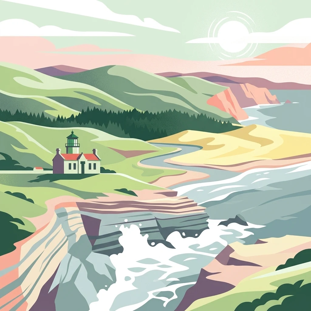
A stylized digital illustration of a white coastal lighthouse with a red roof, situated on a grassy cliff overlooking a crashing surf, with rolling green hills and a sandy beach in the background.

California's first Indigenous-proposed marine sanctuary, protecting kelp forests, deep submarine canyons, and ancient coastal homelands.

Chumash Heritage National Marine Sanctuary

The Chumash Heritage National Marine Sanctuary is a federally protected marine area in the Pacific Ocean off the Central Coast of California, stretching across the coastlines of San Luis Obispo and Santa Barbara counties from south of the Diablo Canyon Power Plant to Naples Reef on the Gaviota Coast. Encompassing roughly 4,543 square miles of ocean water and coastline, it is the third-largest sanctuary in the U.S. National Marine Sanctuary system and the first such sanctuary ever proposed by an Indigenous group in the United States. Designated on October 11, 2024 by the National Oceanic and Atmospheric Administration (NOAA), the sanctuary protects nationally significant natural, cultural, and historical resources along one of the most ecologically rich and oceanographically dynamic stretches of the Pacific Coast. Its waters mark a major biogeographic transition zone where northern cold-water species meet warmer southern species, fueled by the California Current and seasonal upwellings. The ocean floor beneath the sanctuary includes submarine features such as Arguello Canyon, Rodriguez Seamount, and a portion of the Santa Lucia Bank. Beyond its ecological role, the sanctuary holds profound spiritual and historical meaning for the Chumash and Salinan peoples, whose coastal communities have inhabited this region for thousands of years. It also encompasses more than 200 documented shipwrecks that reflect centuries of maritime travel along the California coast, and it supports vibrant commercial and recreational fishing, tourism, and research activities that connect the region's living marine heritage with its deep human past.

Location
United States of America
Park type
Marine protected area
Established
2024
Area
11,770 km²
Chumash Heritage National Marine Sanctuary Map and Geography

Review Chumash Heritage National Marine Sanctuary event details and distances

Earthquake records near Chumash Heritage National Marine Sanctuary

Chumash Heritage National Marine Sanctuary’s records relate to protected waters by reported epicentre and distance, not proof that every event occurred inside them. Each result retains time, magnitude, depth, locality, sanctuary separation, and source link for historical study without asserting marine or cultural effects, seismic cause, present danger, or future conditions.

Sort by
Magnitude
Location

This page describes catalogued earthquakes associated with the park by epicentre location and distance. It does not establish causation, assess current danger, or predict future earthquakes.

No earthquake records match the current filters

Park atlas

Continue beyond Chumash Heritage National Marine Sanctuary earthquake records

Other parks after Chumash Heritage National Marine Sanctuary

Chumash Heritage National Marine Sanctuary's earthquake collection closes before the atlas moves from its Pacific kelp forests, coastal cliffs, and Indigenous heritage context to other destinations. Those pages do not signify shared sanctuary status, marine habitat, cultural setting, proximity, geology, seismic records, hazards, risk, or equal coverage.
Marine protected areaCalifornia
Park boundaries overlap#1 closest

Southeast

Channel Islands National Marine Sanctuary Marine Protected Area Map and Atlas

Southern California marine habitat and island topography

Channel Islands National Marine Sanctuary protects 1,470 square miles of diverse marine environment near the California coast. This sanctuary guards vital kelp forests and deep seafloor ecosystems while preserving deep water archaeological sites and the biological legacy of the Northern Channel Islands.

Area
3,807 km²
Established
1980
IUCN
V
Relief
Lowland
Watercolor painting of a mountain landscape with forested foothills and a valley in the foreground.
Protected landscapeCalifornia
2.3 km away#2 closest

East

Los Padres National Forest: Geography and Protected Landscape Map of Central California

Extensive wilderness corridors and high mountain ridges

Spanning from the Big Sur coastline to the interior ranges of the Santa Lucia and San Rafael mountains, Los Padres National Forest represents a significant protected area in California. The region contains deep gorges, forest-covered canyons, and high-altitude pine ridges that provide essential habitat and support major river headwaters.

Area
7,700 km²
Established
1936
Relief
Mountain
Climate
Mediterranean
National parkCalifornia
17 km away#3 closest

East

Channel Islands National Park: A Protected Landscape within California's Geography

Explore its unique mapped terrain and protected area context.

Channel Islands National Park stands as a key protected area, providing critical insight into California's unique geographic features and natural landscapes. This entry focuses on the park's identity as a protected entity, detailing its mapped boundaries and the surrounding regional geography. It offers an atlas-level view, essential for understanding the park's contribution to the broader landscape context of the United States and its conservation importance.

Area
1,009.94 km²
Established
1980
IUCN
II
Visitors
323.2K annual
Wildlife reserveSan Luis Obispo County
27 km away#4 closest

Northeast

Garcia Wilderness: Mapped Boundaries and Geographic Identity in San Luis Obispo County

Studying the Santa Lucia Range ridge and forest ecosystems

Located in San Luis Obispo County, Garcia Wilderness encompasses 14,100 acres of protected coastal mountains. Its topography features a prominent east-west ridge system that dictates local drainage patterns and vegetative shifts, ranging from lower-slope chaparral to dense oak forests. This area represents a vital segment of the federal conservation efforts established to protect the central California landscape.

Area
57 km²
Established
1992
IUCN
Ib
Relief
Mountain
A soft watercolor painting of a shoreline with gentle green hills and pale purple water against a white background.
Marine protected areaCalifornia
48 km away#5 closest

Northwest

Monterey Bay National Marine Sanctuary: California Marine Protected Area and Coastal Atlas

Mapping deep submarine canyons and expansive Pacific coastal ecosystems.

Monterey Bay National Marine Sanctuary represents one of the most biologically significant marine protected areas in the United States. Spanning 276 miles of California shoreline, the sanctuary encompasses varied aquatic terrain including towering kelp forests, rocky reefs, and the massive Monterey Submarine Canyon. This protected marine landscape serves as a crucial region for oceanic research and environmental conservation.

Area
15,780 km²
Established
1992
Relief
Mixed relief
Climate
Mediterranean
Watercolor painting of a mountain range with a winding stream, small trees, and grassy foreground on a white background.
Wildlife reserveCalifornia
About 82 km away#6 closest

East

Matilija Wilderness: A High Elevation Protected Landscape in the Santa Ynez Mountains

Rugged canyon geography and critical California condor habitat

Spanning from deep canyon bottoms to the high rocky ridges of Monte Arido, Matilija Wilderness represents a significant protected unit within California. The area encompasses a dense network of riparian habitats along Matilija Creek, forming a vital ecological corridor for wildlife and preserving the rugged terrain of the southern Santa Ynez Mountains.

Area
118.2 km²
Established
1992
IUCN
Ib
Relief
Mountain
A watercolor illustration of rolling green hills, a small shoreline, and patches of grass against a white background.
Protected landscapeCalifornia
83 km away#7 closest

East

Santa Monica Mountains National Recreation Area: Protected Landscape and Regional Geography

Exploring the ecological and cultural tapestry of Southern California's coastal mountains.

Santa Monica Mountains National Recreation Area comprises a complex array of parks and preserves that protect the unique Mediterranean climate of Southern California. The terrain showcases rugged ridgelines, deeply carved canyons, and vital coastal habitats. As a significant urban protected area, it offers an essential look at how biodiversity, human history, and regional geography coexist within one of the most populated zones in the United States.

Area
638 km²
Established
1978
IUCN
V
Visitors
795.2K annual
A soft, painterly watercolor illustration depicting layered green mountain ridges and rolling foothills under a bright, open sky.
Protected landscapeCalifornia
105 km away#8 closest

East

Angeles National Forest: Mapped Protected Landscapes and Geographic Terrain in California

Mountain wilderness and Mediterranean watershed geography

Spanning the San Gabriel and Sierra Pelona ranges, Angeles National Forest serves as a dramatic ecological transition zone. This analysis of its protected landscape focuses on the interaction between steep canyons, high peaks, and the distinct chaparral and conifer zones that shape California geography.

Area
2,652.26 km²
Established
1908
Relief
Mountain
Climate
Mediterranean
MoriAtlas Explorer

Continue Exploring the Chumash Heritage National Marine Sanctuary Geography

Trace the boundaries and ecological zones of the Chumash Heritage National Marine Sanctuary through a structured atlas view. Learn how these waters define the Central California coast by integrating deep-sea geology, coastal wetlands, and maritime history into a cohesive understanding of this protected area within the MoriAtlas framework.