
Mori Atlas logo
Park earthquake history

A comprehensive historical catalogue of seismic events mapped by proximity to wilderness boundaries.

Recorded Earthquake History and Seismic Data for the Domeland Wilderness Region of California

Review a structured compilation of seismic records linked to the Domeland Wilderness landscape in the southern Sierra Nevada. This catalogue provides a reliable historical perspective on recorded ground motion by documenting epicentre locations, event magnitudes, and depths relative to park boundaries. All data points reflect recorded USGS history, offering a clear way to trace past seismic events across this granitic plateau and canyon environment.

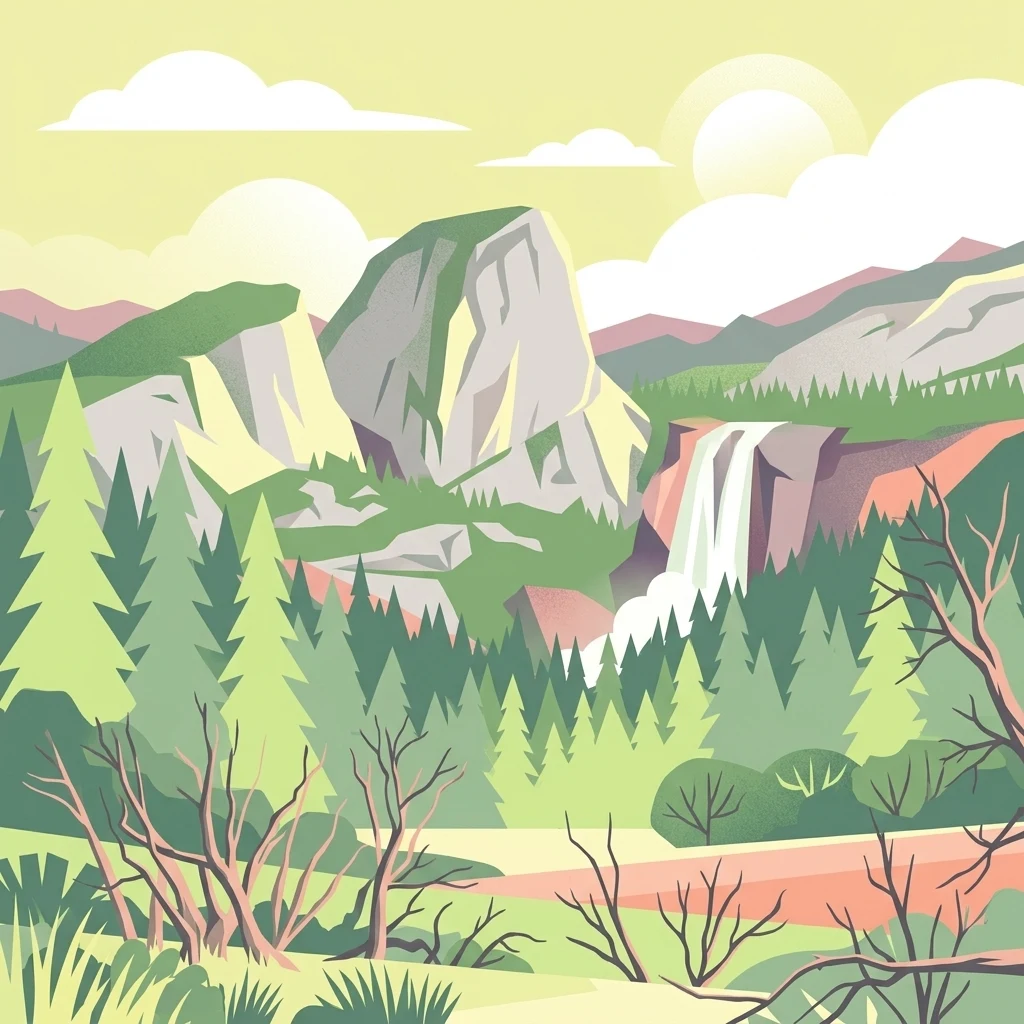
A flat-style digital illustration of a mountain landscape featuring a large granite dome, a cascading waterfall, and a pine forest under a soft sky.

A rugged granite-and-meadow wilderness on the southern Kern Plateau, bisected by the South Fork Kern River.

Domeland Wilderness

Domeland Wilderness is a federally protected wilderness area in the southern Sierra Nevada of California, sitting roughly 55 miles northeast of Bakersfield and shared between Tulare and Kern counties. It covers about 130,081 acres and lies mostly within the Sequoia National Forest, with additional Bureau of Land Management parcels, all jointly stewarded by the U.S. Forest Service and the BLM. The wilderness preserves a striking transition zone on the southern Kern Plateau, where high granite domes, spires, and cliffs give way to broad meadows and mixed conifer forests. The Wild and Scenic South Fork Kern River cuts through the heart of the area from north to south, shaping both the scenery and the wildlife habitat around it. Domeland is recognized for its rugged geological character, large summer-range meadows that support deer herds, conifer forests climbing to nearly 10,000 feet, and a wild, lightly visited atmosphere that contrasts with the more accessible Sierra destinations further north.

Location
United States of America
Park type
Wildlife reserve
Established
1964
Area
526.4 km²
Highest point
3,041 m
Domeland Wilderness Protected Area Map

Review Domeland Wilderness events by date, depth, place, and distance

Explore earthquake records associated with Domeland Wilderness

Search historical earthquakes near Domeland Wilderness, a 526.42 km² terrestrial mountain reserve in the United States with minor waters; results keep event location, time, magnitude, depth, locality, source, and wilderness distance distinct. Nearby placement is not boundary evidence and does not establish causes, effects, current danger, or future seismicity from its mountains, cliffs, plateau, rivers, and forest.

Sort by
Magnitude
Location

This page describes catalogued earthquakes associated with the park by epicentre location and distance. It does not establish causation, assess current danger, or predict future earthquakes.

No earthquake records match the current filters

Park atlas

Move from Domeland Wilderness earthquake history into wider discovery

Find additional protected parks beyond Domeland Wilderness

Move from Domeland Wilderness's earthquake section into a separately chosen group of protected destinations; the source is a 526.42 km² terrestrial mountain reserve in the United States with minor waters, mountains, cliffs, plateau, rivers, forest, alpine meadow, and riverine context. The following cards do not represent equivalent wilderness, terrain, seismic exposure, proximity, documentation, hazard, or risk.
Watercolor painting of a panoramic mountain landscape with stylized pine trees and soft green meadows.
Protected landscapeCalifornia
Park boundaries overlap#1 closest

Northwest

Sequoia National Forest: Protected Sierra Nevada Geography and Mountain Terrain

A vast protected landscape spanning 1.1 million acres in California

Spanning Tulare, Kern, and Fresno counties, Sequoia National Forest preserves iconic giant sequoia groves across multiple river watersheds. The terrain features vertical relief exceeding 11,000 feet, showcasing a range of ecosystems from chaparral slopes and coniferous forests to glacial cirques and granite spires located within the southern Sierra Nevada range.

Area
4,829.17 km²
Established
1908
Relief
Mountain
Climate
Mediterranean
Wildlife reserveKern County
0.7 km away#2 closest

South

Kiavah Wilderness: Geographic Overview of the Scodie Mountains Plateau

Protected desert wilderness in Kern County, California

Kiavah Wilderness provides a vital protected landscape in Kern County, defined by the Scodie Mountains and a dramatic escarpment above the Mojave Desert floor. Known for its rare pinyon-juniper woodlands and seasonal springs, this wilderness area preserves the complex geography linking the southern Sierra Nevada to the broader Mojave basin.

Area
357.3 km²
Established
1994
IUCN
Ib
Relief
Mountain
A horizontal watercolor painting depicting a mountain range in the background with rolling hills and a winding river or stream in the foreground.
Protected landscapeCalifornia
1.6 km away#3 closest

North

Inyo National Forest: An Atlas of Protected Landscapes and Sierra Nevada Geography

High altitude wilderness and volcanic terrain in Eastern California

Spanning from the arid Owens Valley floor to the 14,000 foot crest of the Sierra Nevada, Inyo National Forest remains a cornerstone of the American West. This protected landscape contains the Ancient Bristlecone Pine Forest, Mount Whitney, and the Mono Inyo volcanic chain, providing a dense geographic record of glacial, tectonic, and ecological diversity across a vast managed corridor.

Area
7,702.71 km²
Established
1907
IUCN
Ib
Relief
Mountain
Watercolor painting of a mountain landscape with trees in the midground and a simple river or valley floor in the foreground, executed in a soft, light-toned palette.
Protected areaUnited States of America
About 20 km away#4 closest

Northeast

Inyo Mountains Wilderness: Protected Landscapes and Geographic Features in California

A study of fault block terrain and desert mountain ecosystems.

The Inyo Mountains Wilderness serves as a dramatic ecological bridge between the Owens Valley and Saline Valley. This expansive protected area offers a look into late Proterozoic to Cambrian geology and distinct vertical plant zonation. Mapping the range reveals a network of canyons, ridges, and slopes that sustain endemic biodiversity and ancient bristlecone pine stands within the Great Basin periphery.

Area
806.17 km²
Relief
Mountain
Climate
Arid
Access
Remote access
A watercolor illustration showing a soft-focused desert landscape with gentle rolling hills, sparse desert vegetation, and muted earthy tones.
Wildlife reserveKern County
29 km away#5 closest

Southeast

El Paso Mountains Wilderness: Geological Atlas and Protected Landscape Overview

Mojave Desert geography within Kern County, California

Explore the volcanic structure of El Paso Mountains Wilderness, a desert landscape dominated by Black Mountain, red buttes, and narrow canyons. This atlas entry details the protected boundary and geological features of this Mojave Desert wildlife reserve, highlighting the intersection of volcanic badlands and ancient archaeological sites.

Area
96.2 km²
Established
1994
IUCN
Ib
Relief
Mountain
National parkCalifornia
36 km away#6 closest

Northwest

Sequoia National Park National Park: Geographic Identity and Protected Landscape Atlas

Explore mapped boundaries and the terrain of this California protected area.

Gain a structured understanding of Sequoia National Park as a protected landscape, focusing on its mapped geographic boundaries and its context within California. This entry provides foundational data for exploring the park's natural terrain and its role in a broader atlas of conservation lands, ideal for users seeking detailed geographic information.

Area
1,635.19 km²
Established
1890
IUCN
II
Visitors
1.2M annual
A watercolor painting showing a panoramic view of mountain ranges, a treeline, and a calm body of water in the foreground.
Wildlife reserveCalifornia
48 km away#7 closest

Northwest

John Muir Wilderness: Sierra Nevada Protected Landscape and High Mountain Geography

California wilderness area with glacial basins and granite peaks

John Muir Wilderness represents one of the largest protected high-elevation areas in the contiguous United States. Spanning the Sierra Nevada crest, its granite terrain is sculpted by Pleistocene glaciation into sharp arêtes, deep canyons, and hundreds of alpine lakes. This wilderness serves as a vital geographic anchor for mountain ecosystems, offering an extensive look at the high-country landscape of eastern California.

Area
2,641.76 km²
Established
1964
IUCN
Ib
Relief
Mountain
National parkCalifornia
59 km away#8 closest

Northeast

Death Valley National Park: Exploring California's Mapped Protected Landscape

View the geographic boundaries and desert terrain.

Access a detailed atlas perspective of Death Valley National Park, a protected national park situated in California. Understand the park's distinct mapped boundaries and its role within the regional geography. This resource highlights the unique desert landscape, offering focused insights into its protected-area identity and natural terrain for geographic discovery.

Area
13,848.4 km²
Established
1994
IUCN
II
Visitors
1.1M annual
MoriAtlas Explorer

Analyze the Rugged Terrain and Protected Geography of Domeland Wilderness

MoriAtlas provides a structured look at the granite formations, river corridors, and high-country meadows defining Domeland Wilderness. Follow the geographic boundaries of this southern Sierra Nevada wildlife reserve to better understand its position within the broader California protected landscape.