

Rock formations
Park geography
Analyzing the terrain, elevation peaks, and environmental land features in Dolnośląskie
Comprehensive Geographic Profile and Mapped Boundaries of Park Narodowy Gór Stołowych
This geographic profile examines the 63.402 square kilometer landscape of Park Narodowy Gór Stołowych, a protected mountain region in Poland. It details the documented 919 meter maximum elevation and the distribution of natural landmarks such as Szczeliniec Wielki, Skalniak, and various cliff formations throughout the temperate forest terrain.
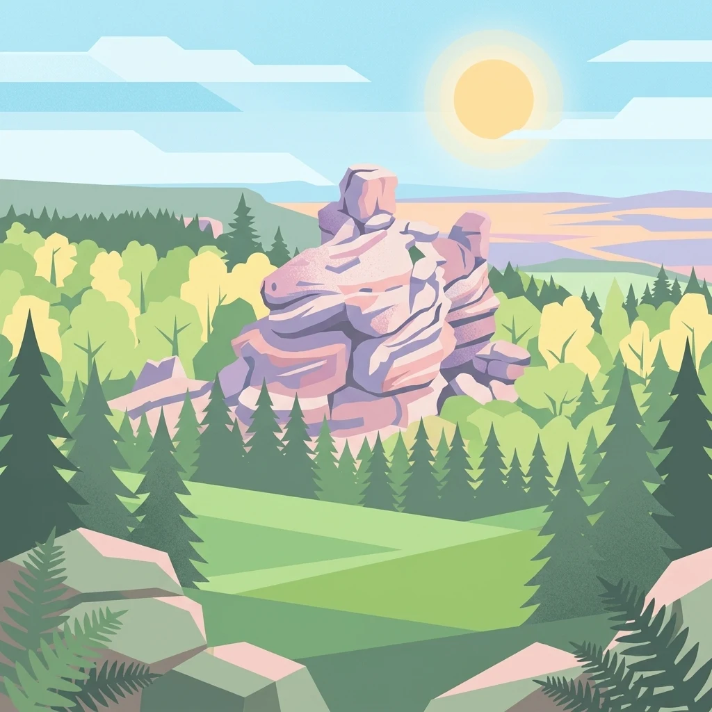
A sandstone-table mountain sanctuary in the Sudetes of southwestern Poland.
Góry Stołowe National Park
Góry Stołowe National Park protects one of the most distinctive highland landscapes in Poland: a compact range of flat-topped sandstone mountains straddling the Sudetes near the Czech border. Its unusual "table" summits rise in stepped plateaus above deeply carved valleys, giving the range both its name and its visual signature. The park covers the upper, most ecologically valuable portion of these mountains in the Land of Kłodzko region of Lower Silesia, an area dominated by eroded sandstone plateaus, dramatic rock labyrinths, and extensive spruce and mixed forests. Founded in 1993, it is recognized as much for its unusual geology as for its protected forest environments and the tourism pressure that comes with being one of Poland's most accessible national parks.
- Location
- Poland
- Park type
- National park
- Established
- 1993
- Area
- 63.4 km²
- Highest point
- 919 m
Location overview
Regional memberships and administrative status within Dolnośląskie
Geographic Overview of Park Narodowy Gór Stołowych in Poland
Park Narodowy Gór Stołowych is situated within Poland in the Dolnośląskie region. Regional records document its administrative positioning and territorial memberships for national park mapping.
- Countries
- Poland
- Regions
- Dolnośląskie
- Primary location
- Dolnośląskie
- Geographic setting
- Inland
Boundary and coordinates
Spatial extent, coordinate limits, and calculated boundary measurements
Park Narodowy Gór Stołowych Boundary Map and Mapped Geography
Interactive boundary geometry outlines the precise spatial context and shape of the protected area. Accompanying measurements supply area calculations, coordinate limits, and geographic spans for regional analysis.
- Boundary area
- 63.3 km²
- Boundary perimeter
- 72.4 km
- Northernmost point
- 50.5079° N
- Southernmost point
- 50.4273° N
- Easternmost point
- 16.4393° E
- Westernmost point
- 16.2684° E
- Geographic centre
- 50.465° N, 16.3524° E
- North–south span
- 9 km
- East–west span
- 12.1 km
Elevation and terrain
Vertical range profile and recorded physical landscape features
Park Narodowy Gór Stołowych Mountain Terrain and Elevation Summary
Park Narodowy Gór Stołowych maintains a recorded peak elevation of 919 meters across its mountain terrain system. Associated feature cards catalog internal rock formations, peaks, viewpoints, and streams with verified spatial relationships.
- Maximum elevation
- 919 m
- Highest point
- 919 m
Selected named natural features
Peaks
Skalniak
915 m
Peaks
Szczeliniec Wielki
922 m
Viewpoints
Narożnik
Peaks
Wielki Szalaster
Streams
Studená
Environmental setting
Temperate mountain relief, forest cover, and habitat classifications
Park Narodowy Gór Stołowych environmental setting and physical classifications
Recorded landscape features, climate zones, and forest classifications provide complementary metrics for reading the physical setting of Park Narodowy Gór Stołowych. Mapped categories connect directly to corresponding atlas records across the protected area.
- Relief
- Mountain
- Climate
- Temperate
- Water
- Minor water
- Forest cover
- Mostly forested
- Seasonality
- Year-round
Landscape features
Mountains · Cliffs · Forest · Wetland · Rivers · Cave
Habitat types
Temperate coniferous forest · Temperate broadleaf forest
Park atlas
Explore nearby national parks and regional geological reserves across the Sudetes border.
Parks near Park Narodowy Gór Stołowych: Compare Surrounding Protected Landscapes
Browsing other protected areas near Park Narodowy Gór Stołowych reveals connected highland terrain, sandstone plateaus, and forested mountain ranges. Comparing these neighboring reserves provides deeper geographic context for regional ecology and regional landforms.
National parkLower Silesian Voivodeship
Park boundaries overlap#1 closest
Southwest

Stołowe Mountains National Park: Explore Poland's Sandstone Rock Cities and Protected Terrain
National Park in Lower Silesian Voivodeship: Geological Wonders.
Stołowe Mountains National Park is a protected national park in Poland celebrated for its unparalleled sandstone geological features. Within the Lower Silesian Voivodeship, the park showcases a dramatic landscape dominated by flat-topped rock plateaus, natural labyrinths, and vertical sandstone formations that create a visually stunning and geologically significant environment. Its protected status ensures the preservation of these unique landforms and the rare ecosystems, such as raised peat bogs, offering extensive opportunities for atlas exploration and understanding the region's distinct natural context.
- Area
- 63.39 km²
- Established
- 1993
- IUCN
- II
- Visitors
- 1.3M annual
Natural monumentKrálovéhradecký kraj
About 12 km away#2 closest
South

Velká louka Natural Monument: Geographic Profile of an Orlické hory Wetland Habitat
Protected peat meadow terrain in the Královéhradecký kraj region.
Velká louka represents a focused protected landscape in the Czech Republic, known for its rare botanical composition and wetland-dependent amphibian pools. The site highlights the importance of small-scale conservation efforts within the mountainous Orlické hory region, offering a clear example of specialized meadow ecology in a submontane climate.
- Area
- 0.023 km²
- Established
- 1982
- IUCN
- IV
- Relief
- Upland
Protected landscapeLower Silesian Voivodeship
17 km away#3 closest
North
Park Krajobrazowy Sudetów Wałbrzyskich: Protected Mountain Landscape Map
Geographic overview of forested ridges and rock formations
Gain insight into the topography of Park Krajobrazowy Sudetów Wałbrzyskich, where elevations reach 936 meters. This atlas entry details the forested Central Sudetes landscape, highlighting protected geological monuments like Małpia Skała and the unique hydrology of the Rybna river capture.
- Area
- 64.93 km²
- Established
- 1998
- Relief
- Mountain
- Climate
- Temperate
Protected landscapeDolnośląskie
24 km away#4 closest
Southeast
Śnieżnicki Park Krajobrazowy: Protected Landscape and Mountain Geography Atlas
Eastern Sudetes protected area in Dolnoslaskie, Poland
Located in the Dolnoslaskie region, Śnieżnicki Park Krajobrazowy protects a striking mosaic of primeval forest and varied mountain relief. This entry maps its core components, from the high peak of Śnieżnik to the intricate karst landforms and deep river valleys that define its regional geographic character.
- Area
- 288 km²
- Established
- 1981
- Relief
- Mountain
- Climate
- Alpine

National parkLiberec Region
30 km away#5 closest
Northwest
Krkonoše National Park: Central European Alpine Protected Area and Map Context
Discover glacial landforms and unique ecosystems in the Giant Mountains.
Krkonoše National Park, situated in the Liberec Region, is a premier example of a protected alpine landscape in Central Europe. This page facilitates exploration of its significant glacial geography, including distinct cirques, rockfields, and valleys, providing vital context for understanding its protected area status. Engage with the mapped terrain and discover the unique ecological features that make this national park a cornerstone of conservation and geographic study within the Czech Republic.
- Area
- 363.52 km²
- Established
- 1963
- IUCN
- II
- Visitors
- 12.1M annual
Natural monumentKrálovéhradecký kraj
33 km away#6 closest
Southwest
Vražba Natural Monument: Botanical Geography and Protected Lands in Královéhradecký Kraj
A rare habitat for critically endangered Central European flora.
Vražba is a specialized protected area located in the Královéhradecký region, designated primarily to stabilize populations of the critically endangered ladybells. Its landscape consists of managed woodland edges and semi-open grassland patches, creating a highly specific environment for rare botanical communities. This site stands as a prime example of targeted habitat management within the broader Czech protected-area network.
- Area
- 0.078 km²
- Established
- 2011
- IUCN
- III
Protected landscapeTrutnov District
About 34 km away#7 closest
West
Přírodní park Hrádeček: Protected Landscape Geography and Mapped Regional Terrain
A forested hill-country protected area in Trutnov District
Přírodní park Hrádeček is a regional protected landscape characterized by a compact cluster of forested summits and traditional Bohemian countryside. Located in the Trutnov District, this area features a distinctive bowl-shaped topography anchored by the ruins of Břecštejn castle, offering a clear example of protected hill-forest and rural mosaic environments within the eastern Giant Mountains foothills.
- Established
- 2000
- Relief
- Upland
- Climate
- Temperate
- Access
- Easy access
Natural monumentKrálovéhradecký kraj
About 34 km away#8 closest
Northwest
Sklenářovické údolí Natural Monument: Geography, Terrain, and Protected Land Features
Meadow-rich valley ecosystems in the Krkonoše foothills
Sklenářovické údolí stands as a significant protected natural monument in the Královéhradecký kraj region. Its geography consists of a deeply carved stream valley that shelters an unusually high concentration of rare orchid species and sensitive wetland habitats. The area provides a clear look at historical land-use restoration, where meadow and forest boundaries are maintained to protect diverse raptor nesting grounds and fragile montane flora within the broader Czech landscape network.
- Area
- 1.806 km²
- Established
- 2009
- IUCN
- III
- Relief
- Mountain
MoriAtlas Explorer
Continue Exploring the Protected Landscapes of Park Narodowy Gór Stołowych
Deepen your understanding of Park Narodowy Gór Stołowych by examining its unique plateau-based topography and mapped geological features. MoriAtlas provides detailed insight into this essential Sudeten protected area, offering a clear view of its sandstone corridors, forest ecosystems, and distinctive physical boundaries within the Dolnośląskie region.
Browse next
Global natural geography
Explore related park routes
Explore MoriAtlas Global ParksBrowse All MoriAtlas ParksGlobal Park Map DiscoveryMoriAtlas: Browse All CountriesBrowse All MoriAtlas ContinentsNational Park Environment AtlasGrand Canyon National Park AtlasYellowstone National Park AtlasYosemite National Park Atlas and GeographySerengeti National Park AtlasGalápagos National Park Protected LandscapeBanff National Park Geography and AtlasKruger National Park Atlas EntryUluṟu-Kata Tjuṯa National Park AtlasExplore Uluru-Kata Tjuta National Park GeographyPlitvice Lakes National Park AtlasFiordland National Park Protected LandscapeGreat Smoky Mountains National Park AtlasAfghanistan National Parks and Protected AreasAlbania National Parks and Protected AreasAlgeria National Parks and Protected AreasAmerican Samoa National Parks and Protected AreasAndorra National Parks and Protected AreasAngola National Parks and Protected AreasAntarctica National Parks and Protected AreasAntigua and Barbuda Park List