Mori Atlas logo
Nature reserveHintere Harrasbachtalwiesen

Examining the forested valley terrain and protected stream-fed meadow landscapes of Baden-Wurttemberg

Hintere Harrasbachtalwiesen Nature Reserve: A Detailed Geographic Atlas of the Swabian Alb

(Landschaftsschutzgebiet Hintere Harrasbachtalwiesen)

Hintere Harrasbachtalwiesen represents a critical protected landscape situated within the Hohe Schwabenalb region of Germany. This valley environment, centered on the Harrasbach stream and its converging tributaries, preserves a rare mosaic of dense forest and open wet meadow clearings. As a long-standing nature reserve, it serves as a vital component in the broader ecological framework of the Naturpark Obere Donau and surrounding Natura 2000 conservation zones.

landscape protection areawet meadowsvalley forestSwabian AlbHarrasbachstream valley

Hintere Harrasbachtalwiesen

Nature reserve

Park overview

Structured park overview, official facts, and landscape profile for Hintere Harrasbachtalwiesen

Hintere Harrasbachtalwiesen park facts, protected area profile, and essential visitor context

Review the core facts for Hintere Harrasbachtalwiesen, including designation, size, terrain, visitor scale, habitats, and operating context in one park-focused overview.

About Hintere Harrasbachtalwiesen

Hintere Harrasbachtalwiesen is a compact landscape protection area on the Swabian Alb in southern Germany, situated in the rural district of Tuttlingen in Baden-Württemberg. The roughly eight hectare site lies on the territory of the municipality of Wehingen, between the communities of Obernheim and Deilingen, and within the natural landscape region known as the Hohe Schwabenalb.

The defining feature of the area is the small Harrasbach valley. The Harrasbach flows through a closed stand of forest, and is joined within the protected zone by the Kesselgraben from the west and the Wackerstälebach from the east, creating a convergence of small streams in a relatively narrow, sheltered valley corridor. In the middle of this wooded setting, two forest clearings open up and are taken up by wet meadows, which give the protected area its character as a valley landscape rather than a purely forested site.

The site is administratively managed by the Landratsamt Tuttlingen and has been a designated Landschaftsschutzgebiet since 11 January 1944, making it one of the older landscape protection areas still in force in the district. Beyond its own boundaries, Hintere Harrasbachtalwiesen sits within a layered network of overlapping conservation designations. It falls inside the Natura 2000 site Großer Heuberg und Donautal, the bird protection area Südwestalb und Oberes Donautal, and the larger Naturpark Obere Donau, which means that its small-scale valley meadows contribute to a much wider regional conservation strategy on the Swabian Alb and along the upper Danube.

Quick facts and research context for Hintere Harrasbachtalwiesen

Hintere Harrasbachtalwiesen is a landscape protection area (Landschaftsschutzgebiet) in the Naturpark Obere Donau on the Hohe Schwabenalb. It lies in the municipality of Wehingen within the Landkreis Tuttlingen in Baden-Württemberg, Germany, and was designated as protected on 11 January 1944 by the Landratsamt Tuttlingen.

The protected area is identified in national and European databases under the number 3.27.041 and the WDPA ID 321621. It overlaps with the Natura 2000 site Großer Heuberg und Donautal, the bird protection area Südwestalb und Oberes Donautal, and the Naturpark Obere Donau, placing it within a continuous chain of landscape, habitat, and bird conservation zones.

Protection and recognition

Documented terrestrial protection scope and international recognition data

Hintere Harrasbachtalwiesen Protection Status and Official Designation Record

Terrestrial protection status for Hintere Harrasbachtalwiesen encompasses verified conservation boundaries and administrative records. Documented designation details outline the official management framework and recognized geographical classification.

Protection details

Protection scope
Terrestrial
Transboundary protection
No
WDPA ID
321621
Park context

Deeper park guide and search-rich context for Hintere Harrasbachtalwiesen

Hintere Harrasbachtalwiesen history, landscape, wildlife, and travel context

Explore Hintere Harrasbachtalwiesen through its history, landscape character, ecosystems, wildlife, conservation priorities, cultural context, and seasonal travel timing in a structured park guide built for atlas discovery and search intent.

Why Hintere Harrasbachtalwiesen stands out

Hintere Harrasbachtalwiesen is best known for its combination of a narrow forested valley and two small clearings of wet meadow (Nasswiesen) around the Harrasbach. The site preserves an unusually intact mosaic of dense woodland, converging streams, and waterlogged meadow habitat in a very compact area on the Swabian Alb. Because of its location within the Natura 2000 area Großer Heuberg und Donautal and the bird protection area Südwestalb und Oberes Donautal, the valley is also recognized as a component of the broader landscape mosaic of the Upper Danube region, contributing small-scale but ecologically meaningful habitat variety to the surrounding Swabian Alb plateau.
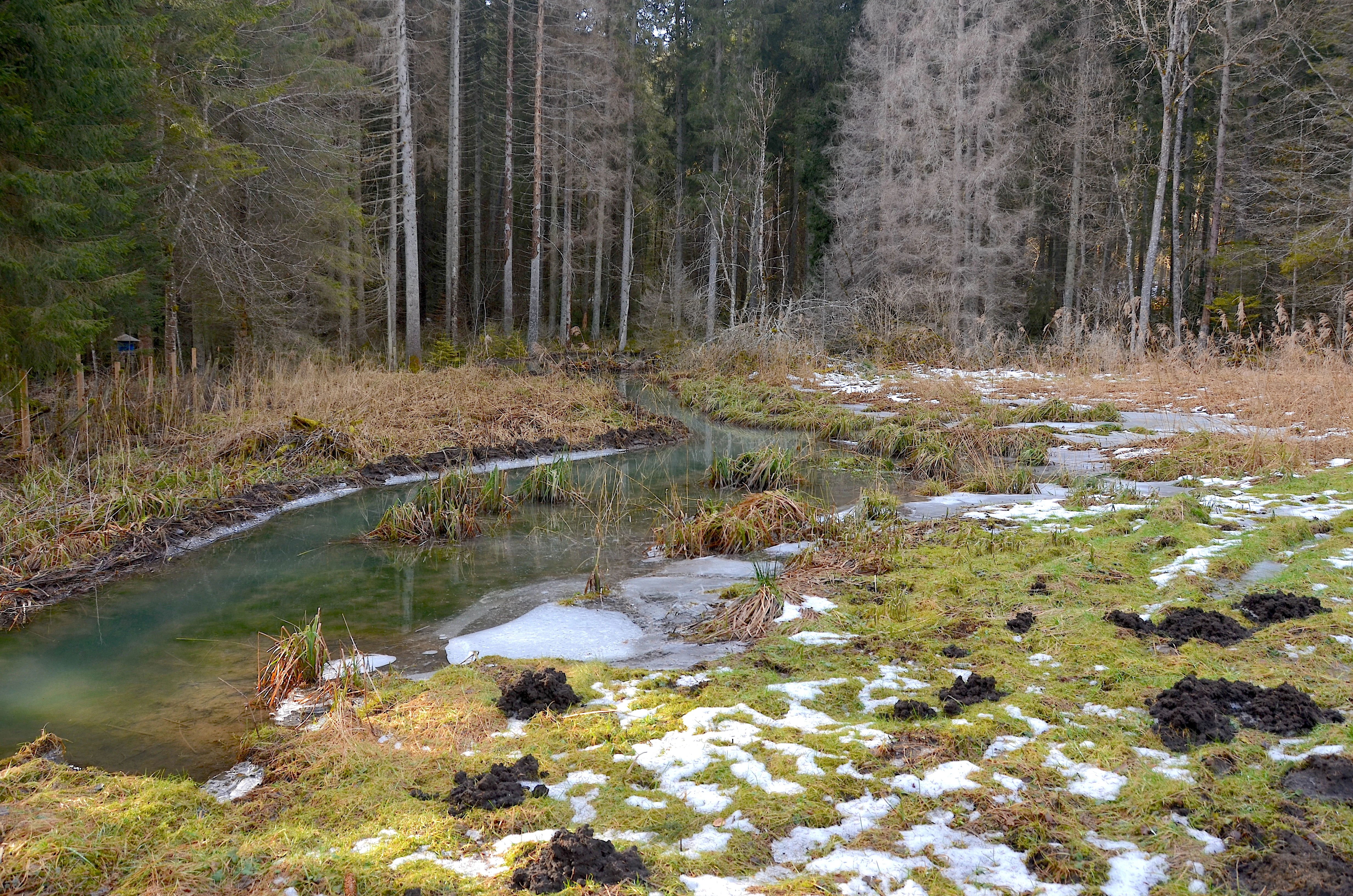
A small stream curves through a grassy meadow with patches of snow, bordered by a dense forest of tall trees.
The Harrasbach stream winding through the wet meadows of the Hintere Harrasbachtalwiesen nature reserve in late winter.

Hintere Harrasbachtalwiesen history and protected-area timeline

Hintere Harrasbachtalwiesen has been a protected landscape since 11 January 1944, when the Landratsamt Tuttlingen designated the area as a Landschaftsschutzgebiet by ordinance. The site was established on the territory of the municipality of Wehingen, and from its designation it has been administered by the Tuttlingen district office.

The protection history reflects the long tradition of German landscape protection areas, which were commonly established during and shortly after the early 1940s to preserve characteristic rural and semi-natural landscapes at the local level. The site has retained its protected status continuously since that original designation and is currently embedded within the broader Natura 2000 structure of the region, including the FFH area Großer Heuberg und Donautal and the bird protection area Südwestalb und Oberes Donautal.

Hintere Harrasbachtalwiesen landscape and geographic character

The landscape of Hintere Harrasbachtalwiesen is shaped by the narrow valley of the Harrasbach and the dense forest that frames it. The valley sits on the Hohe Schwabenalb, the higher part of the Swabian Alb, and forms a small, sheltered incision into the surrounding plateau scenery.

Within the protected area, the terrain is essentially a wooded hollow. A closed forest stand covers most of the ground, while the water system of the Harrasbach cuts through it from one end to the other. The Kesselgraben enters the valley from the western side and the Wackerstälebach from the eastern side, both contributing to the small stream network before joining the Harrasbach.

The most visually distinctive feature of the landscape is the pair of forest clearings in the centre of the protected area. These open spaces interrupt the otherwise continuous tree cover and contain the wet meadows that give the site its name, creating a visible contrast between the dark forest and the lighter, open meadow patches within the valley.

Hintere Harrasbachtalwiesen ecosystems, habitats, and plant life

The natural character of Hintere Harrasbachtalwiesen is defined by the contrast between closed forest and waterlogged open ground in a tightly confined valley setting. The dense forest canopy forms the structural backbone of the site, while the small clearings hold Nasswiesen, or wet meadows, that depend on the moisture of the surrounding streams.

The hydrology of the valley, with the Harrasbach reinforced by the Kesselgraben and the Wackerstälebach, supports the consistently damp conditions needed to maintain these meadow habitats. The combination of converging streams, valley forest, and wet meadow clearings gives the site a varied microhabitat structure within a small footprint.

By being incorporated into the Natura 2000 area Großer Heuberg und Donautal and the bird protection area Südwestalb und Oberes Donautal, this small-scale habitat mosaic is also recognized as part of the ecological network of the Upper Danube region on the Swabian Alb.

Hintere Harrasbachtalwiesen wildlife and species highlights

While individual species are not the main focus of the source material, the habitat structure of Hintere Harrasbachtalwiesen provides the basis for a varied local fauna. The dense forest stand supports woodland species, the streams support aquatic and streamside wildlife, and the wet meadows offer open, moist habitat that typically supports meadow birds and invertebrates.

The fact that the area lies within the bird protection area Südwestalb und Oberes Donautal indicates that its combination of forest, streams, and meadow clearings is considered relevant for bird conservation at the European level, linking the small local site to wider birdlife protection efforts across the Swabian Alb.

Hintere Harrasbachtalwiesen conservation status and protection priorities

The conservation importance of Hintere Harrasbachtalwiesen lies in its role as a small but ecologically varied component of a much larger regional conservation framework. As a designated Landschaftsschutzgebiet since 1944, it preserves a characteristic valley landscape that combines forest, converging streams, and traditional wet meadows, a combination that has become increasingly rare in modern intensively managed countryside.

The site is integrated into the Natura 2000 network through its inclusion in the FFH area Großer Heuberg und Donautal and the bird protection area Südwestalb und Oberes Donautal. It also lies within the Naturpark Obere Donau, which links the protection of this small valley to the broader landscape identity of the upper Danube region. Through these overlapping designations, the wet meadows, valley forest, and streams of the Harrasbach contribute to habitat continuity and ecological connectivity across the Swabian Alb.

Hintere Harrasbachtalwiesen cultural meaning and human context

The cultural context of Hintere Harrasbachtalwiesen is rooted in the traditional rural landscape of the Swabian Alb. Valley meadows of this kind were historically used for hay production and small-scale grazing, and the wet meadows within the protected area continue to reflect this older agricultural pattern of small forest clearings embedded in woodland.

The site is strongly associated with the municipality of Wehingen and the surrounding villages of Obernheim and Deilingen, where local place names such as Harras, Tanneck, and the streams Kesselgraben and Wackerstälebach reflect the long-standing human relationship with this particular valley landscape.

Top sights and standout views in Hintere Harrasbachtalwiesen

The strongest points of distinction for Hintere Harrasbachtalwiesen are its compact size, its layered stream network in a forested valley, and the two wet meadow clearings at its heart. The protected area preserves a classic small-scale valley landscape of the Swabian Alb, where forest, streams, and Nasswiesen coexist within a single, easily recognizable unit.

For visitors and researchers, the site offers an unusually complete example of how a tiny protected area can anchor much larger nature conservation goals: a landscape protection area from 1944 that today sits within a Natura 2000 site, a bird protection area, and the Naturpark Obere Donau, tying the local Harrasbach valley into the wider ecological fabric of the upper Danube region.

Best time to visit Hintere Harrasbachtalwiesen

The character of Hintere Harrasbachtalwiesen shifts with the seasons in ways typical of valley meadows and forest on the Swabian Alb. Late spring and early summer are usually the most rewarding period to experience the wet meadows, when the open clearings inside the valley are in active growth and the contrast with the surrounding forest is most visible.

Summer brings full foliage and the densest forest cover, while the streams remain at their most active. Autumn colours the forest canopy and can make the small valley especially atmospheric, while winter leaves the wet meadows as open, quieter spaces inside the otherwise dark, leafless woodland. Because most of the area consists of enclosed forest and small meadow patches, visits are best suited to daylight hours in any season and tend to reward those interested in small-scale scenery and detail rather than expansive views.

Monthly climate preview

Long-term monthly temperature ranges and precipitation averages recorded at a representative coordinate

Hintere Harrasbachtalwiesen Climate Normals, Annual Temperature and Precipitation Rhythm

Representative coordinate measurements reveal annual temperature variations and monthly precipitation patterns across Hintere Harrasbachtalwiesen. Examining the full twelve-month statistical profile provides detailed long-term climate normals for the protected landscape.
Annual mean8 °C
-2 °C17 °C
Jan-2°
Feb-1°
Mar
Apr
May12°
Jun15°
Jul17°
Aug17°
Sep13°
Oct
Nov
Dec-1°
Warmest month
July

17.2 °C

Coolest month
January

-1.7 °C

Wettest month
June

3.7 mm/day

Driest month
February

1.9 mm/day

Park location guide

Geography guide, regional context, and park location map for Hintere Harrasbachtalwiesen

Hintere Harrasbachtalwiesen park geography, regions, and map view in Germany

Understand where Hintere Harrasbachtalwiesen sits in Germany through a broader geographic reading of the surrounding landscape, nearby location context, and its mapped position within the national park landscape.

How Hintere Harrasbachtalwiesen fits into Germany

Germany is a federal republic in Western and Central Europe with a population of over 83 million across sixteen constituent states. It is Europe's largest economy by nominal GDP and a major global exporter and importer. The capital is Berlin, and the country borders Denmark, Poland, Czech Republic, Austria, Switzerland, France, Luxembourg, Belgium, and the Netherlands.

Wider geography shaping Hintere Harrasbachtalwiesen in Germany

Germany is located in Western and Central Europe, spanning 357,022 km². It borders Denmark to the north, Poland and the Czech Republic to the east, Austria and Switzerland to the south, and France, Luxembourg, Belgium, and the Netherlands to the west. The country has coastlines on the Baltic Sea and North Sea to the north, with the Alps located in the southern region.

Map view of Hintere Harrasbachtalwiesen

Use this park location map to pinpoint Hintere Harrasbachtalwiesen in Germany, understand its exact geographic position, and read its mapped placement within the surrounding landscape more clearly.

Pigeon | © OpenStreetMap contributors

Visualizing valley forests, converging streams, and wet meadow clearings across the Swabian Alb

Hintere Harrasbachtalwiesen Landscape Photography and Protected Area Scenery

Visual documentation reveals the dense woodland canopy, converging stream channels, and open meadow clearings that define this protected valley environment. Photographic records provide clear insight into the compact terrain structure and regional conservation character of the Swabian Alb.

A small stream curves through a grassy meadow with patches of snow, bordered by a dense forest of tall trees.

Park atlas

Compare regional conservation areas, neighboring stream valleys, and connected plateau habitats

Exploring Parks Near Hintere Harrasbachtalwiesen and Surrounding Protected Landscapes

Browsing other protected areas near Hintere Harrasbachtalwiesen reveals the broader ecological network of the Swabian Alb and Upper Danube region. Regional comparison highlights how small valley reserves connect to larger landscape protection frameworks across Baden-Württemberg.
Protected landscapeBaden-Württemberg
About 3.2 km away#1 closest

South

Schafweiden im Unteren Bäratal bei Reichenbach: Regional Landscape and Protected Area Atlas

Baden-Württemberg cultural landscape and valley topography

This protected area captures the traditional sheep-grazed character of the Hohe Schwabenalb. The landscape mosaic consists of contrasting valley slopes that support rare orchid populations, mature forest fringes, and ancient pasture trees, providing deep insight into the regional conservation geography of the lower Bära valley.

Area
0.327 km²
Established
2019
IUCN
V
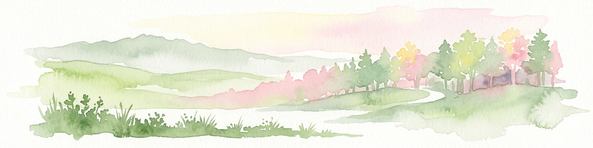
A watercolor painting showing a soft, panoramic view of green rolling hills and a winding river against a pale background of distant mountains.
Protected landscapeBaden-Württemberg
About 5 km away#2 closest

East

Oberhohenberg Protected Landscape: A Geographical Atlas of the Swabian Alb Zeugenberg

Mapping limestone summits, block forests, and relict meadow habitats.

Oberhohenberg is a designated protected landscape situated on the Swabian Alb. As a striking zeugenberg, the hill supports a complex environment consisting of limestone rock faces, remnant grasslands, and rare blockschuttwald forest types. This compact area offers a precise view into the geological and structural diversity defining the regional landscape of Baden-Württemberg.

Area
0.286 km²
Established
1953
IUCN
V
Relief
Mountain
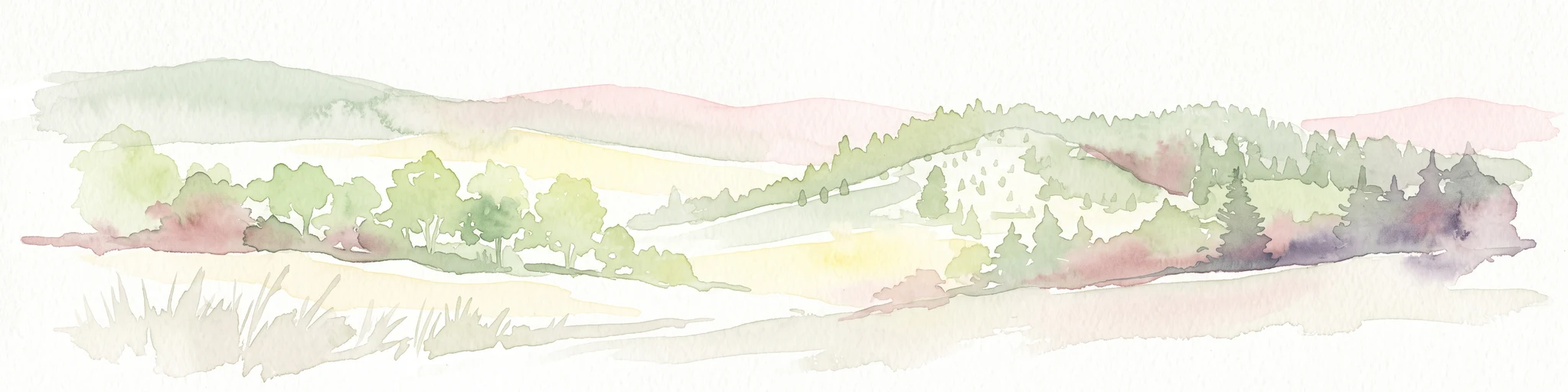
Watercolor painting of a rolling hilly landscape with forests and a winding path, featuring soft pastel green, yellow, and pink tones.
Protected areaBaden-Württemberg
About 11 km away#3 closest

South

Großer Heuberg und Donautal: Protected Landscape Geography and Map Analysis

Natura 2000 territory in the southwestern Swabian Alb

Großer Heuberg und Donautal presents an expansive protected landscape where the elevated plateau of the Swabian Alb meets the deeply carved, winding valley of the Upper Danube. This area displays a diverse geological transition through limestone cliffs, open juniper heaths, and dense deciduous forests, providing essential context for understanding the regional geography and conservation status of this unique portion of Germany.

Area
86.62 km²
Established
2015
Relief
Mountain
Climate
Temperate
Protected landscapeBaden-Württemberg
About 12 km away#4 closest

West

Wacholderheide Dissenhorn: Protected Landscape Mapping and Regional Geography in Baden-Württemberg

A preserved juniper heath mosaic within the Southwestern Alb Foothills

Wacholderheide Dissenhorn represents a vital protected landscape area near Göllsdorf, where the projecting Dissenhorn slope preserves a historic juniper heath mosaic. Defined by Middle Keuper geological formations, this terrain offers a clear look at local habitat management and the transition between open heath and mixed coniferous forest in Germany.

Area
0.101 km²
Established
1953
IUCN
V
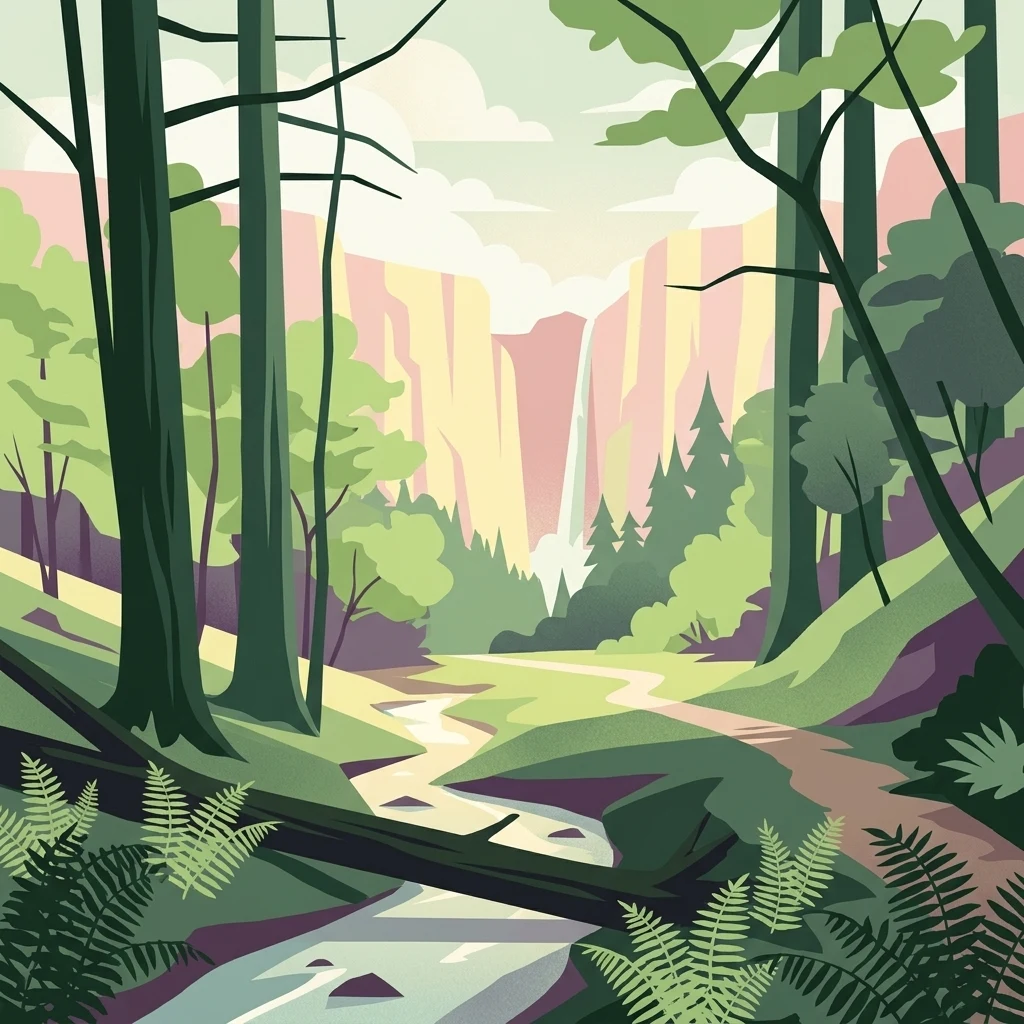
A graphic illustration of a deep forest gorge featuring a winding stream in the foreground, tall trees on both sides, and a cascading waterfall against high cliff walls in the background.
Protected landscapeBaden-Württemberg
About 14 km away#5 closest

Northwest

Waldenbachtal Protected Landscape: A Geographic Profile of a Sandstone Gorge in Baden-Württemberg

Forested Klingen valley and stream-carved terrain mapping

Waldenbachtal serves as an ecologically significant protected landscape within the Rottweil district of Baden-Württemberg. Its map profile highlights a narrow gorge incised into Stubensandstein, defined by a distinct coniferous forest cover and linear stream drainage. This site provides a clear view into the region's Middle Keuper geological history and valley-based conservation patterns.

Area
0.149 km²
Established
1982
IUCN
V
Protected landscapeBaden-Württemberg
About 19 km away#6 closest

West

Hänge mit Wald und Hecken im Neckartal und Mückenbachtal Protected Landscape and Valley Map

Geographic study of the upper Neckar valley and Mückenbachtal terrain

Investigate the layered landscape of Hänge mit Wald und Hecken im Neckartal und Mückenbachtal, where open grassland plains meet steep, forest-covered valley walls. This protected area provides a clear look at regional river-valley morphology and the integration of natural habitats near the A 81 corridor within the Baden-Württemberg state boundaries.

Area
0.223 km²
Established
1953
IUCN
V
Relief
Upland
Abstract watercolor illustration of rolling green hills with soft yellow and pink washes and a winding path through a valley
Protected landscapeBaden-Württemberg
About 19 km away#7 closest

Northwest

Neckartal mit Seitentälern von Rottweil bis Aistaig Protected Landscape Map and Regional Context

Protected river valleys and plateau topography in Baden-Württemberg

This protected landscape in Baden-Württemberg features a sequence of twenty dramatic meander loops where the Neckar river cuts 140 meters into the bedrock. The protected area offers a complex geography of steep valley slopes, incised tributary notches, and historic castle-crowned ridges that reveal the evolution of the Obere Gäue terrain.

Area
16.05 km²
Established
1953
IUCN
V
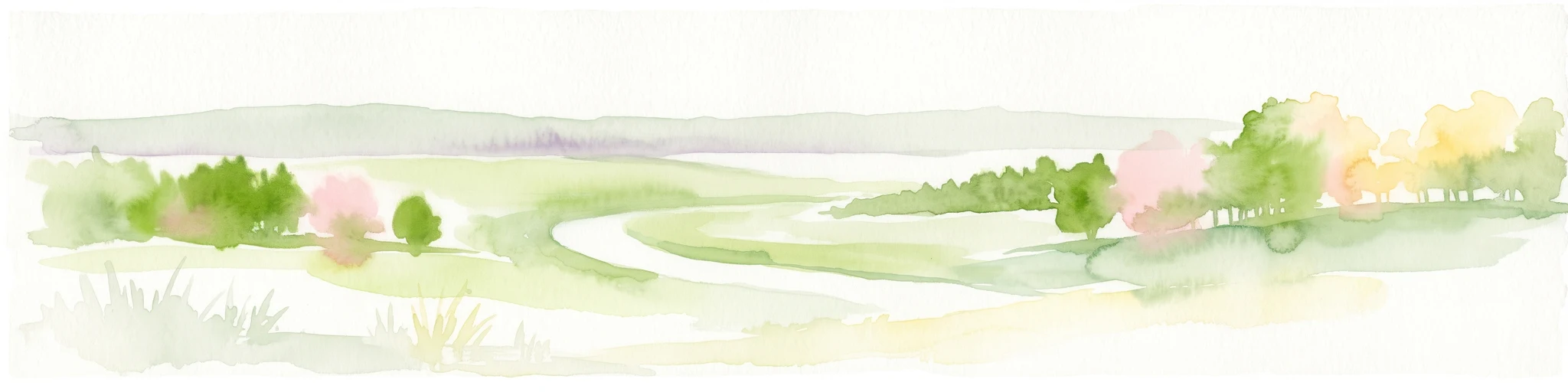
A minimalist watercolor illustration showing a winding river flowing through a soft green landscape with rolling hills in the background and clusters of trees.
Nature reserveBaden-Württemberg
About 20 km away#8 closest

North

Gebiete zwischen Bisingen, Haigerloch und Rosenfeld Nature Reserve and Geographic Context

Fragmented protected terrain in the Swabian Alb foothills

Gain insight into the fifteen separate fragments that constitute this protected nature reserve in Baden-Württemberg. From open limestone meadows to narrow floodplain strips, the area represents a critical mosaic of EU-protected habitat types that demand careful geographic consideration and mapping.

Area
7.53 km²
Established
2019

Common questions about visiting, size, designation, and location context for Hintere Harrasbachtalwiesen

Hintere Harrasbachtalwiesen FAQs for park facts, access, geography, and protected area context

Find quick answers about Hintere Harrasbachtalwiesen, including protected-area facts, park geography, trail and visitor context, and how the park fits into its surrounding country and regional landscape.
MoriAtlas Explorer

Continue Your Protected Areas Search Across the Global Atlas

Deepen your exploration by continuing the structured search for national parks and protected areas worldwide. Utilize the comprehensive filtering capabilities to compare different conservation landscapes and refine your understanding of global park geography. Discover more about the distribution and characteristics of protected natural areas.

Global natural geography