Why Hintere Harrasbachtalwiesen stands out
Hintere Harrasbachtalwiesen is best known for its combination of a narrow forested valley and two small clearings of wet meadow (Nasswiesen) around the Harrasbach. The site preserves an unusually intact mosaic of dense woodland, converging streams, and waterlogged meadow habitat in a very compact area on the Swabian Alb. Because of its location within the Natura 2000 area Großer Heuberg und Donautal and the bird protection area Südwestalb und Oberes Donautal, the valley is also recognized as a component of the broader landscape mosaic of the Upper Danube region, contributing small-scale but ecologically meaningful habitat variety to the surrounding Swabian Alb plateau.
Hintere Harrasbachtalwiesen history and protected-area timeline
Hintere Harrasbachtalwiesen has been a protected landscape since 11 January 1944, when the Landratsamt Tuttlingen designated the area as a Landschaftsschutzgebiet by ordinance. The site was established on the territory of the municipality of Wehingen, and from its designation it has been administered by the Tuttlingen district office.
The protection history reflects the long tradition of German landscape protection areas, which were commonly established during and shortly after the early 1940s to preserve characteristic rural and semi-natural landscapes at the local level. The site has retained its protected status continuously since that original designation and is currently embedded within the broader Natura 2000 structure of the region, including the FFH area Großer Heuberg und Donautal and the bird protection area Südwestalb und Oberes Donautal.
Hintere Harrasbachtalwiesen landscape and geographic character
The landscape of Hintere Harrasbachtalwiesen is shaped by the narrow valley of the Harrasbach and the dense forest that frames it. The valley sits on the Hohe Schwabenalb, the higher part of the Swabian Alb, and forms a small, sheltered incision into the surrounding plateau scenery.
Within the protected area, the terrain is essentially a wooded hollow. A closed forest stand covers most of the ground, while the water system of the Harrasbach cuts through it from one end to the other. The Kesselgraben enters the valley from the western side and the Wackerstälebach from the eastern side, both contributing to the small stream network before joining the Harrasbach.
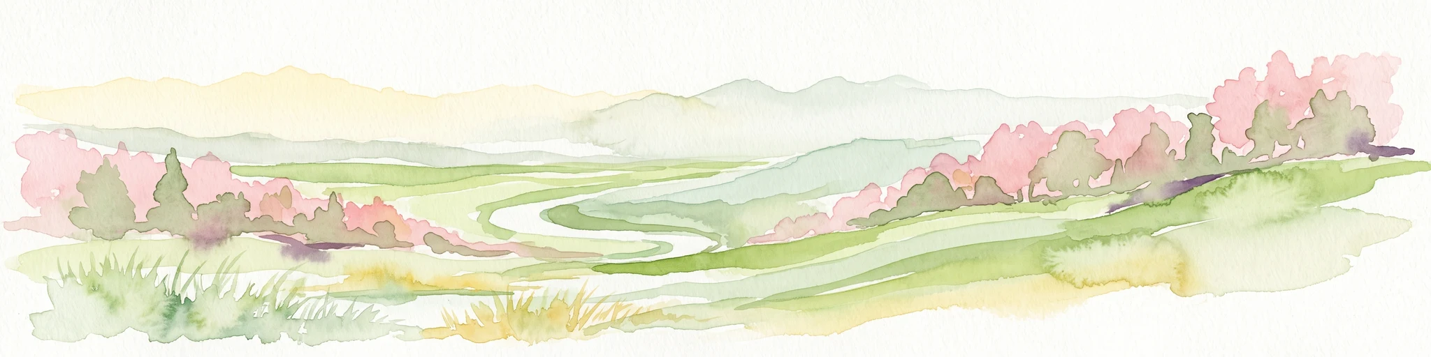
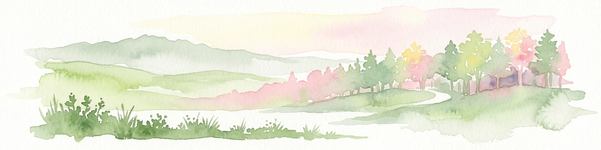
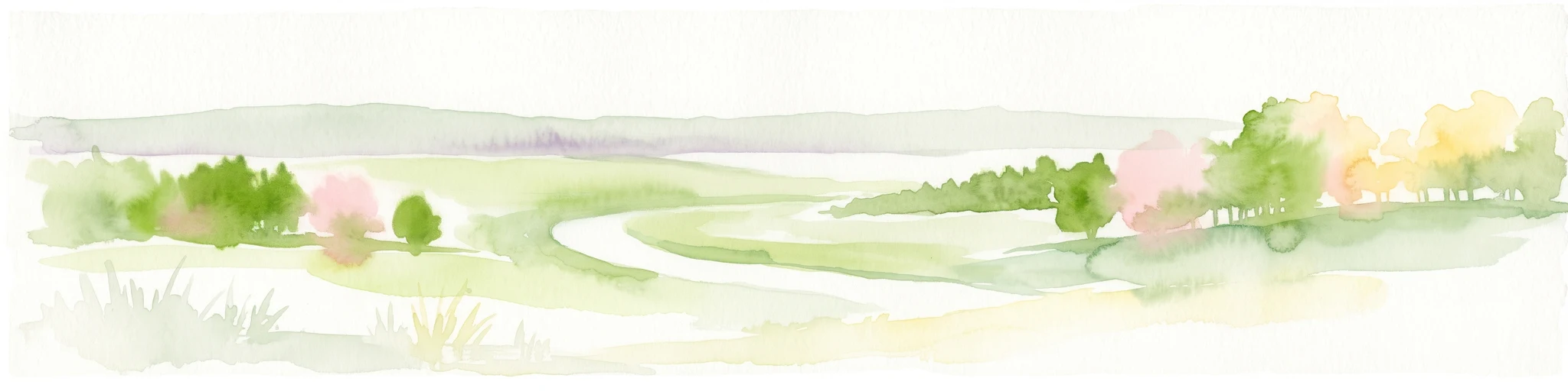
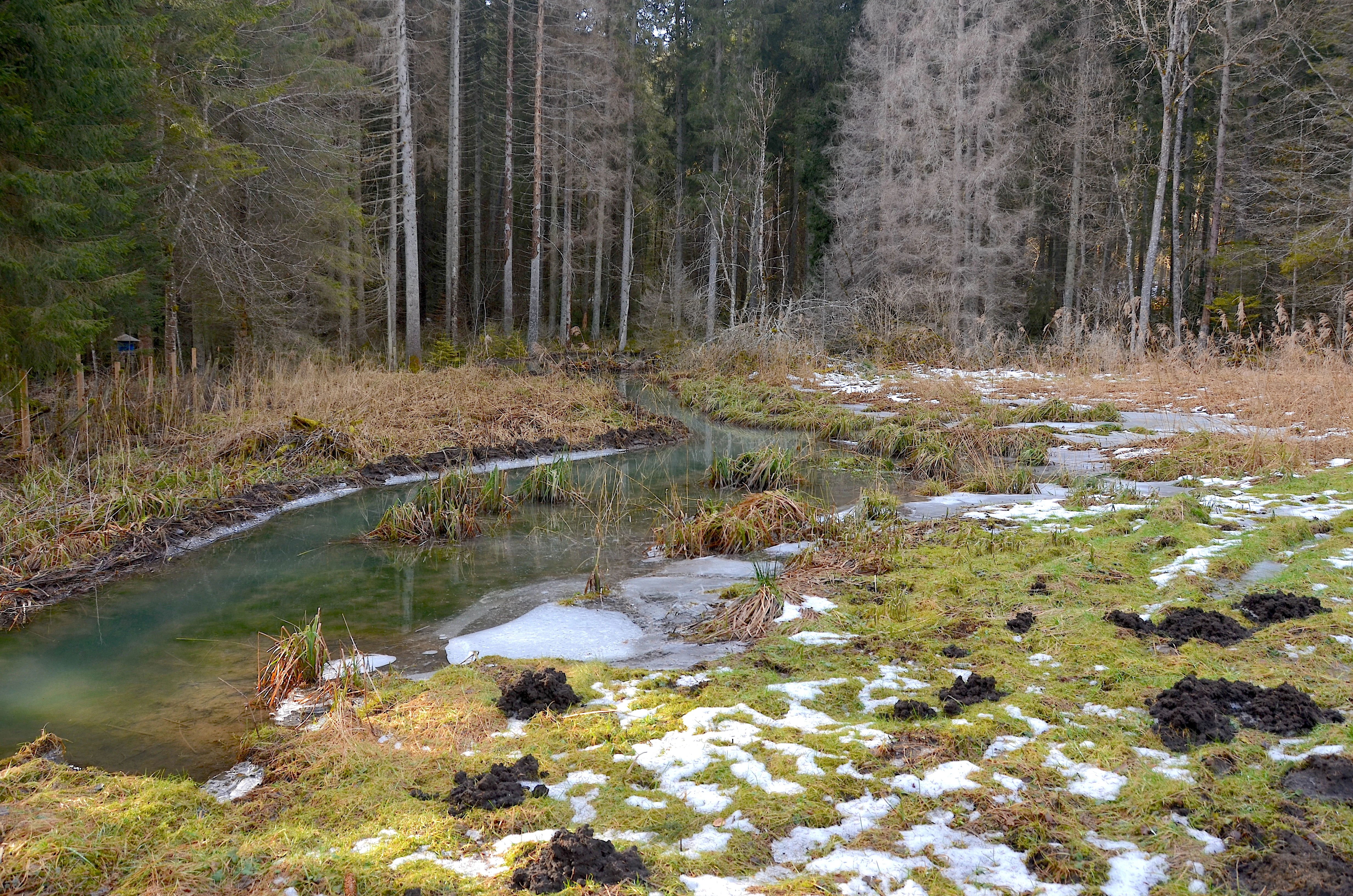
The most visually distinctive feature of the landscape is the pair of forest clearings in the centre of the protected area. These open spaces interrupt the otherwise continuous tree cover and contain the wet meadows that give the site its name, creating a visible contrast between the dark forest and the lighter, open meadow patches within the valley.
Hintere Harrasbachtalwiesen ecosystems, habitats, and plant life
The natural character of Hintere Harrasbachtalwiesen is defined by the contrast between closed forest and waterlogged open ground in a tightly confined valley setting. The dense forest canopy forms the structural backbone of the site, while the small clearings hold Nasswiesen, or wet meadows, that depend on the moisture of the surrounding streams.
The hydrology of the valley, with the Harrasbach reinforced by the Kesselgraben and the Wackerstälebach, supports the consistently damp conditions needed to maintain these meadow habitats. The combination of converging streams, valley forest, and wet meadow clearings gives the site a varied microhabitat structure within a small footprint.
By being incorporated into the Natura 2000 area Großer Heuberg und Donautal and the bird protection area Südwestalb und Oberes Donautal, this small-scale habitat mosaic is also recognized as part of the ecological network of the Upper Danube region on the Swabian Alb.
Hintere Harrasbachtalwiesen wildlife and species highlights
While individual species are not the main focus of the source material, the habitat structure of Hintere Harrasbachtalwiesen provides the basis for a varied local fauna. The dense forest stand supports woodland species, the streams support aquatic and streamside wildlife, and the wet meadows offer open, moist habitat that typically supports meadow birds and invertebrates.
The fact that the area lies within the bird protection area Südwestalb und Oberes Donautal indicates that its combination of forest, streams, and meadow clearings is considered relevant for bird conservation at the European level, linking the small local site to wider birdlife protection efforts across the Swabian Alb.
Hintere Harrasbachtalwiesen conservation status and protection priorities
The conservation importance of Hintere Harrasbachtalwiesen lies in its role as a small but ecologically varied component of a much larger regional conservation framework. As a designated Landschaftsschutzgebiet since 1944, it preserves a characteristic valley landscape that combines forest, converging streams, and traditional wet meadows, a combination that has become increasingly rare in modern intensively managed countryside.
The site is integrated into the Natura 2000 network through its inclusion in the FFH area Großer Heuberg und Donautal and the bird protection area Südwestalb und Oberes Donautal. It also lies within the Naturpark Obere Donau, which links the protection of this small valley to the broader landscape identity of the upper Danube region. Through these overlapping designations, the wet meadows, valley forest, and streams of the Harrasbach contribute to habitat continuity and ecological connectivity across the Swabian Alb.
Hintere Harrasbachtalwiesen cultural meaning and human context
The cultural context of Hintere Harrasbachtalwiesen is rooted in the traditional rural landscape of the Swabian Alb. Valley meadows of this kind were historically used for hay production and small-scale grazing, and the wet meadows within the protected area continue to reflect this older agricultural pattern of small forest clearings embedded in woodland.
The site is strongly associated with the municipality of Wehingen and the surrounding villages of Obernheim and Deilingen, where local place names such as Harras, Tanneck, and the streams Kesselgraben and Wackerstälebach reflect the long-standing human relationship with this particular valley landscape.
Top sights and standout views in Hintere Harrasbachtalwiesen
The strongest points of distinction for Hintere Harrasbachtalwiesen are its compact size, its layered stream network in a forested valley, and the two wet meadow clearings at its heart. The protected area preserves a classic small-scale valley landscape of the Swabian Alb, where forest, streams, and Nasswiesen coexist within a single, easily recognizable unit.
For visitors and researchers, the site offers an unusually complete example of how a tiny protected area can anchor much larger nature conservation goals: a landscape protection area from 1944 that today sits within a Natura 2000 site, a bird protection area, and the Naturpark Obere Donau, tying the local Harrasbach valley into the wider ecological fabric of the upper Danube region.
Best time to visit Hintere Harrasbachtalwiesen
The character of Hintere Harrasbachtalwiesen shifts with the seasons in ways typical of valley meadows and forest on the Swabian Alb. Late spring and early summer are usually the most rewarding period to experience the wet meadows, when the open clearings inside the valley are in active growth and the contrast with the surrounding forest is most visible.
Summer brings full foliage and the densest forest cover, while the streams remain at their most active. Autumn colours the forest canopy and can make the small valley especially atmospheric, while winter leaves the wet meadows as open, quieter spaces inside the otherwise dark, leafless woodland. Because most of the area consists of enclosed forest and small meadow patches, visits are best suited to daylight hours in any season and tend to reward those interested in small-scale scenery and detail rather than expansive views.