Mori Atlas logo
Park earthquake history

Review historical epicentre data, magnitude logs, and location metrics for the region.

Humboldt–Toiyabe National Forest Earthquake History and Recorded Seismic Catalogue

This historical catalogue provides a structured overview of recorded seismic events associated with the expansive basin and range geography of Humboldt–Toiyabe National Forest. Users can filter data by event date, magnitude, and proximity to specific forest ranges, accessing USGS records that detail the seismic history of this fragmented mountain landscape. The collection focuses on maintaining a transparent record of historical activity across Nevada and eastern California mountain blocks without providing hazard assessments.

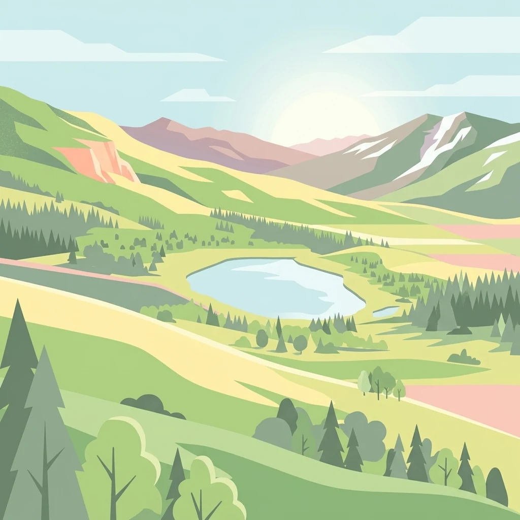
A flat-style digital illustration depicting a mountain valley with a central lake surrounded by evergreen forests and rolling green hills under a soft sun.

The largest U.S. national forest outside Alaska, spanning Nevada's mountain ranges and reaching into eastern California

Humboldt, Toiyabe National Forest

Humboldt–Toiyabe National Forest is the principal U.S. National Forest in Nevada and the largest such reservation in the contiguous United States, with a smaller footprint extending west into eastern California. Although administered as a single entity since 1995, the forest is composed of two historically distinct units: the Humboldt National Forest in the north and east, and the Toiyabe National Forest covering much of central, southern, and western Nevada. Rather than forming a single contiguous block, the forest stretches across many of Nevada's isolated mountain ranges, from the Santa Rosa Range in the north to the Spring Mountains near Las Vegas in the south, creating a vast, patchwork landscape of high country, canyons, and forests separated by the state's broad desert basins. This unusual geography makes Humboldt–Toiyabe a defining piece of the American West's public land network. The forest preserves extensive subalpine environments, including several designated wilderness areas such as the Ruby Mountains, Jarbidge, East Humboldt, and Mount Charleston, alongside scenic byways and recreation sites that draw visitors year-round.

Location
United States of America
Park type
Protected landscape
Established
1908
Area
25,454 km²
Humboldt–Toiyabe National Forest Atlas

Navigate Humboldt–Toiyabe National Forest records by depth and distance

Examine earthquakes around Humboldt–Toiyabe National Forest

The Humboldt–Toiyabe National Forest earthquake collection maps reported epicentres by calculated distance from its dispersed Great Basin lands, separating the records from mountain ranges, desert valleys, and alpine wilderness. Dates, magnitudes, depths, localities, sources, and forest distances support historical comparison without automatically implying landscape effects, present hazard, or prediction.

Sort by
Magnitude
Location

This page describes catalogued earthquakes associated with the park by epicentre location and distance. It does not establish causation, assess current danger, or predict future earthquakes.

No earthquake records match the current filters

Park atlas

Expand beyond Humboldt–Toiyabe National Forest earthquake history

Browse further parks after Humboldt–Toiyabe National Forest

Humboldt–Toiyabe National Forest anchors its earthquake collection before readers move from Nevada's Great Basin ranges and alpine wilderness into other protected places. Their inclusion does not indicate shared national-forest status, mountain landscape, proximity, geology, seismic records, hazards, risk, wilderness character, or comparable information depth.
Watercolor painting of a tranquil mountain lake surrounded by pine forests and distant rolling peaks in muted green and pink tones.
Wildlife reserveTuolumne County
Park boundaries overlap#1 closest

Southwest

Emigrant Wilderness: A Detailed Geographic Atlas of Protected Sierra Nevada Landscapes

Mapping glaciated granite basins and volcanic ridges in Tuolumne County.

Emigrant Wilderness is a sprawling protected area defined by a distinct mix of granitic domes, cirques, and a unique volcanic sector in its northeastern reaches. Spanning from lower forest elevations to alpine peaks, the area provides a window into the complex geological history of the central Sierra Nevada. The terrain includes hundreds of high-country lakes and meadow systems that support diverse alpine ecosystems and represent the rugged nature of the Pacific Crest Trail corridor.

Area
454.37 km²
Established
1974
IUCN
Ib
Relief
Mountain
Wildlife reserveCalifornia
Park boundaries overlap#2 closest

Southwest

Hoover Wilderness: Protected Alpine Geography in the Central Sierra Nevada, California

High-altitude glacial basins and Sierra crest wilderness

The Hoover Wilderness preserves a vital strip of high-elevation terrain along the eastern Sierra Nevada crest. Characterized by glacier-carved basins, interconnected alpine lakes, and sharp granite ridges, this protected area serves as a primary ecological gateway to the high country. Its landscape features define the headwaters of the Walker River, offering a compact yet significant look at California's protected alpine wilderness.

Area
518.89 km²
Established
1964
IUCN
Ib
Relief
Mountain
A horizontal watercolor painting depicting a mountain range in the background with rolling hills and a winding river or stream in the foreground.
Protected landscapeCalifornia
Park boundaries overlap#3 closest

Southwest

Inyo National Forest: An Atlas of Protected Landscapes and Sierra Nevada Geography

High altitude wilderness and volcanic terrain in Eastern California

Spanning from the arid Owens Valley floor to the 14,000 foot crest of the Sierra Nevada, Inyo National Forest remains a cornerstone of the American West. This protected landscape contains the Ancient Bristlecone Pine Forest, Mount Whitney, and the Mono Inyo volcanic chain, providing a dense geographic record of glacial, tectonic, and ecological diversity across a vast managed corridor.

Area
7,702.71 km²
Established
1907
IUCN
Ib
Relief
Mountain
Wildlife reserveNevada
Park boundaries overlap#4 closest

Northeast

Jarbidge Wilderness: Protected Mountain Terrain and Geographic Map Context in Nevada

High-altitude wilderness geography and canyon landscapes

Located in the remote Jarbidge Mountains, this wilderness area transitions from arid sagebrush steppe to dense subalpine forests and dramatic river canyons. The region preserves headwater streams and over a dozen significant summits, offering a complex look at the natural topography of the northern Great Basin in Nevada.

Area
457.97 km²
Established
1964
IUCN
Ib
Relief
Mountain
Watercolor painting showing stylized green mountains, pine trees, and soft yellow and purple tones in the landscape.
Wildlife reserveNevada
Park boundaries overlap#5 closest

South

Mount Charleston Wilderness: Protected Mountain Geography and Spring Mountains Atlas

High-altitude wilderness and ancient forest landscapes in southern Nevada

Spanning the crest of the Spring Mountains, Mount Charleston Wilderness stands as a protected natural landmark in Nevada. This area offers an atlas-focused view of subalpine ridges, ancient bristlecone pine forests, and steep fault-block terrain that contrast significantly with the arid Mojave Desert basins located below.

Area
232.46 km²
Established
1989
IUCN
Ib
Relief
Mountain
Protected areaNevada
Mapped location lies within the park boundary#6 closest

East

Mount Moriah Wilderness: A Geographic Profile of the Northern Snake Range Protected Area

High elevation limestone terrain in eastern Nevada

The Mount Moriah Wilderness represents a significant protected area in eastern Nevada, anchored by the iconic 12,050-foot Mount Moriah and the expansive flat-topped Table plateau. This rugged high-country landscape displays deep limestone exposures, shallow caves, and a rich array of riparian habitats. Spanning an entire elevational gradient of the Great Basin, the wilderness preserves ancient bristlecone pine groves alongside critical archaeological sites that document long-term human use of these mountains.

Area
363.4 km²
Established
1989
Relief
Mountain
Water
Minor water
Protected areaNevada
Mapped location lies within the park boundary#7 closest

West

Mount Rose Wilderness: Protected Landscape and Regional Geography in Northwestern Nevada

Carson Range alpine terrain and ecological transition mapping

Mount Rose Wilderness represents a significant protected area in the Carson Range, where 31,223 acres of terrain transition from the forested, subalpine slopes of the Sierra Nevada to the drier, sage-dominated Great Basin. The mapped landscape includes high granite peaks and meadows, offering a clear view of the complex environmental gradients that define this unique section of the American West.

Area
126.35 km²
Established
1989
Relief
Mountain
Climate
Temperate
Wildlife reserveNye County
Park boundaries overlap#8 closest

Southeast

Quinn Canyon Wilderness: Exploring Protected Mountain Geography in Central Nevada

High-desert ridges and alpine canyon ecosystems

Quinn Canyon Wilderness serves as a vital protected area for understanding Great Basin geography. Its landscape of deep, V-shaped canyons and high ridgelines supports unique biological gradients from pinyon-juniper forests to rare bristlecone pine, providing a study in extreme solitude and rugged mountain terrain.

Area
106.25 km²
Established
1989
IUCN
Ib
Relief
Mountain
MoriAtlas Explorer

Explore the Geographic Boundaries and Mountain Landscapes of Humboldt–Toiyabe National Forest

Trace the extensive and fragmented reach of Humboldt–Toiyabe National Forest across the Great Basin. This MoriAtlas entry provides a structured look at the mountain ranges, wilderness areas, and varied terrains that make this protected landscape a cornerstone of the American West's public lands.