Mori Atlas logo
Park earthquake history

A comprehensive catalogue of historical seismic events associated by proximity to the protected limestone hills of Hesse.

Recorded Earthquake History and Seismic Records near Kalkkuppen bei Winterscheid

Review a detailed collection of historical earthquake records identified within the vicinity of Kalkkuppen bei Winterscheid. This catalogue provides data on event timing, magnitude, and epicentre coordinates for occurrences associated with the surrounding Gilserberg Heights terrain. Data points focus on proximity tracking rather than geological causation, offering a transparent resource for understanding the seismic context of this protected nature reserve in Germany.

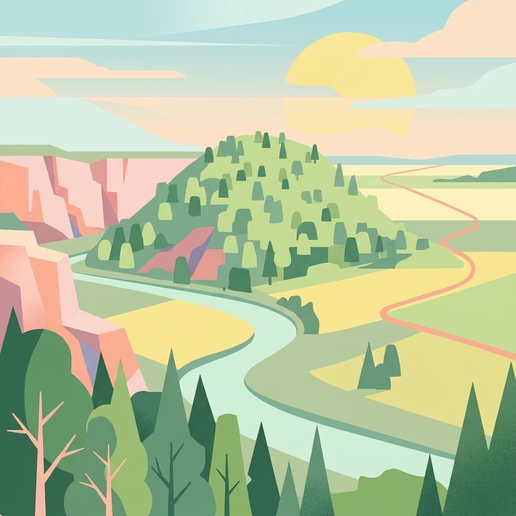
A stylized digital illustration of a green, forest-covered hill set against a landscape of limestone cliffs, winding paths, and soft, pastel-colored fields at sunset.

A small nature reserve of shelly limestone hills in the Gilserberg Heights of northern Hesse.

Kalkkuppen bei Winterscheid

Kalkkuppen bei Winterscheid is a compact nature reserve in the Schwalm-Eder-Kreis district of northern Hesse, Germany. The protected area consists of three separate parcels that together cover roughly 43 hectares, and since 2003 the same parcels have also been designated as an EU Habitats Directive (FFH) site. The reserve protects a small but geologically unusual group of four limestone hills built from Lower Muschelkalk, locally known as Wellenkalk. These are the only limestone outcrops in the otherwise sandstone-dominated Gilserberg Heights, making the site a notable point of geological contrast within the regional landscape around the village of Winterscheid, part of the municipality of Gilserberg. Beyond its geological role, the area is valued for its habitat character, reflecting the influence of calcareous substrate on vegetation. Although small in size and less famous than many of Germany's larger national landscapes, the reserve has clear conservation significance, both as a national-level nature protection area and as a component of the European Natura 2000 network.

Location
Germany
Park type
Nature reserve
Established
1986
Area
0.4 km²
Explore Kalkkuppen bei Winterscheid Geography

Filter Kalkkuppen bei Winterscheid events by time, depth, and distance

Investigate earthquake records around Kalkkuppen bei Winterscheid

Records connected with Kalkkuppen bei Winterscheid are selected through earthquake epicentres and distance from the protected site, without treating them all as events inside it. Review times, magnitudes, depths, reported locations, distance measurements, and sources for historical comparison, not as proof of site-driven seismicity, current hazard, or a forecast.

Sort by
Magnitude
Location

This page describes catalogued earthquakes associated with the park by epicentre location and distance. It does not establish causation, assess current danger, or predict future earthquakes.

No earthquake records match the current filters

Park atlas

Move beyond Kalkkuppen bei Winterscheid earthquake observations

Explore further park destinations after Kalkkuppen bei Winterscheid

The atlas continues from the Kalkkuppen bei Winterscheid earthquake records to an independently chosen group of protected places. Those links do not imply matching site types, terrain, geology, earthquake evidence, proximity, seismic relevance, hazard profiles, risk, or comparable levels of documentation.
A watercolor painting of soft, green rolling hills and clusters of trees set against a pale, light-washed sky on a white background.
Nature reserveHesse
About 7.4 km away#1 closest

East

Biedenbacher Teiche bei Florshain Nature Reserve, Hesse Protected Wetland Geography

A rare refuge of stream-fed ponds and meadows in northern Hesse

The Biedenbacher Teiche bei Florshain nature reserve protects a dense concentration of wetland microhabitats along the Biedenbach stream. Spanning ponds, sedge beds, and floodplain woodlands, this site offers a look into the vital ecological character of the Schwalm-Eder region. It remains an essential, undisturbed archive of local wetland flora and fauna within the larger, intensively cultivated Hessian agricultural landscape.

Area
0.035 km²
Established
1983
Relief
Lowland
Climate
Temperate
A watercolor painting depicting a soft-focus landscape with rolling green hills in the distance, a grassy foreground, and a single bare-branched tree on the right side.
Nature reserveHessen
About 11 km away#2 closest

West

Merzhäuser Teiche Nature Reserve: Geographic Atlas and Protected Landscape Overview

A dense wetland mosaic in the Burgwald region of Hessen.

Merzhäuser Teiche is a compact nature reserve situated on the edge of the Burgwald, Hesse's largest contiguous forest. Centered on three small ponds linked by the Kimmelbach, the area protects a transition zone of alder swamp, wet meadows, and nutrient-poor grassland. This site serves as a crucial habitat for waterbirds, amphibians, and rare butterflies within a characteristic central German landscape.

Area
0.201 km²
Established
1990
IUCN
IV
Relief
Lowland
Watercolor illustration depicting a serene wetland landscape with a small forest patch on the left, grassy marshland in the center, and a pink-toned shoreline on the right.
Nature reserveHessen
About 15 km away#3 closest

West

Franzosenwiesen/Rotes Wasser: Protected Nature Reserve and Lowland Stream Geography

Hessen regional conservation and Burgwald foothills terrain

The Franzosenwiesen/Rotes Wasser reserve offers a window into the lowland stream geography of central Germany. This site preserves a vital corridor of wet meadows and riparian habitat along the Rotes Wasser brook, serving as a key example of the conservation landscapes found within the rolling foothills of the Burgwald region in Hessen.

Area
0.898 km²
Established
1987
Relief
Lowland
Climate
Temperate
Watercolor painting of green rolling hills and a calm, pale water surface under a soft, light-colored sky.
Protected landscapeHessen
About 16 km away#4 closest

North

Naturpark Kellerwald-Edersee: Protected Landscape Geography and Map Context

Mapping the forest ridges and reservoir shores of northern Hessen

Examine the geographic foundation of Naturpark Kellerwald-Edersee, a sprawling protected area in northern Hessen. The landscape is characterized by its expansive ancient beech forests, deep valleys, and the Edersee reservoir. This entry provides a detailed look at the park's low mountain terrain, elevation ranges, and the ecological connectivity between its wooded ridges and surrounding river systems.

Area
595.25 km²
Established
2001
Relief
Mountain
Climate
Temperate
A soft watercolor painting showing a panoramic view of a marshy valley with green coniferous forests in the midground and pale, soft-hued hills in the background.
Nature reserveHesse
18 km away#5 closest

West

Christenberger Talgrund: A Protected Nature Reserve in the Central Hessian Burgwald Landscape

Geography of a rare valley bog and stream corridor

Christenberger Talgrund is a protected nature reserve located at the edge of the Burgwald forest in Hesse. The site features a distinctive valley floor shaped by the Rodenbach, where historical peat accumulation has preserved transitional bog habitats, rare Sphagnum mosses, and specialized moisture-dependent invertebrate populations within a compact, forested setting.

Area
1.166 km²
Established
1987
IUCN
IV
Watercolor painting showing a landscape with hills, forest, and a body of water
National parkHesse
18 km away#6 closest

North

Kellerwald-Edersee National Park: Hesse's Protected Landscape Exploration

Mapped boundaries and geographic context for this German national park.

Navigate the protected landscape of Kellerwald-Edersee National Park, a key national park situated in the German state of Hesse. This atlas entry focuses on its precise geographic definition, mapped terrain features, and the broader regional context it occupies within central Germany. Gain structured insights into the park's conservation significance and its place in the mapped landscape.

Area
76.88 km²
Established
2004
IUCN
II
Relief
Highland
A watercolor painting showing a tranquil lake shore with soft green vegetation and distant muted hills.
Nature reserveSchwalm-Eder-Kreis
18 km away#7 closest

Northeast

Borkener See Nature Reserve: Geographic Overview of a Reclaimed Wetland and Bird Sanctuary

A protected landscape featuring oligotrophic lake waters in Schwalm-Eder-Kreis.

Borkener See serves as a focal point for understanding the reclamation of mining landscapes in northern Germany. As an officially protected nature reserve, it provides a stable habitat for migratory bird species, with deep water basins and carefully managed wetland buffers defining its physical and ecological presence in the Westhessische Senke.

Area
3.5 km²
Established
1990
Relief
Lowland
Climate
Temperate
Nature reserveHessen
About 19 km away#8 closest

South

Saurasen bei Schweinsberg Nature Reserve: Protected Geography and Floodplain Landscape

Ohm River basin protected area in central Hessen

Saurasen bei Schweinsberg is a compact, habitat-rich nature reserve located in the Ohm River lowland. The protected area features a unique hydrological mosaic of alder-ash woodland, sedge fens, and wet grasslands, serving as a sanctuary for diverse migratory birds and the threatened European tree frog. This site offers deep insights into the intersection of active river dynamics and traditional cultural landscapes in central Hessen.

Area
0.136 km²
Established
1985
Relief
Lowland
Climate
Temperate
MoriAtlas Explorer

Discover the Geological Landscape of Kalkkuppen bei Winterscheid

Trace the boundaries and habitat character of the Kalkkuppen bei Winterscheid nature reserve through our detailed geographic data. This MoriAtlas entry provides a structured look at the rare limestone formations and protected ecosystems situated within the regional landscape of northern Hesse.