
Mori Atlas logo
Nature reserveKalkkuppen bei Winterscheid

A distinct protected landscape defined by calcareous geology within a sandstone region

Kalkkuppen bei Winterscheid: Mapping the Rare Limestone Hills of the Gilserberg Heights

(Naturschutzgebiet Kalkkuppen bei Winterscheid)

Kalkkuppen bei Winterscheid represents a significant protected area in the Schwalm-Eder-Kreis district of northern Hesse. This nature reserve is composed of three distinct parcels covering 43 hectares, forming a compact geological enclave of Lower Muschelkalk limestone. Rising within the broader Gilserberg Heights, these hills provide a sharp contrast to the surrounding sandstone terrain and represent a crucial site within the European Natura 2000 network for calcareous habitat conservation.

nature reservelimestone hillsMuschelkalkGilserberg HeightsHabitats Directive siteFFH area
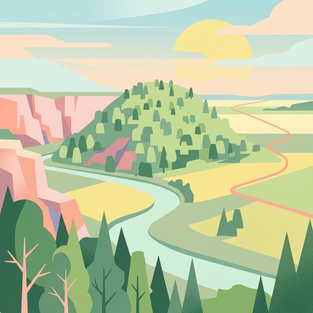
A stylized digital illustration of a green, forest-covered hill set against a landscape of limestone cliffs, winding paths, and soft, pastel-colored fields at sunset.

Kalkkuppen bei Winterscheid

Nature reserve

Park overview

Structured park overview, official facts, and landscape profile for Kalkkuppen bei Winterscheid

Kalkkuppen bei Winterscheid park facts, protected area profile, and essential visitor context

Review the core facts for Kalkkuppen bei Winterscheid, including designation, size, terrain, visitor scale, habitats, and operating context in one park-focused overview.

About Kalkkuppen bei Winterscheid

Kalkkuppen bei Winterscheid is a small but ecologically and geologically meaningful nature reserve in the Schwalm-Eder-Kreis of northern Hesse. Its three parcels, totaling about 42.9 hectares, lie in the municipality of Gilserberg, on either side of the B 3 federal road, the K 98 district road, and the Josbach, a small left tributary of the Wohra. The reserve was placed under protection in 1986 under the designation 1634014, and in 2003 the same three parcels were confirmed as part of the European Natura 2000 network as an FFH site.

The heart of the reserve's identity is geological rather than purely biological. The four protected hills are formed from Lower Muschelkalk, in particular the Wellenkalk facies, a wave-bedded, fine-grained limestone typical of central Germany's Triassic sequence. Within the Gilserberg Heights, surface geology is dominated by Buntsandstein, with older basement rocks appearing only in the far northeast. The four Kalkkuppen therefore stand out as isolated limestone islands in an otherwise siliciclastic landscape.

The hills are also part of the broader Momberger Graben structural unit, a fault-bounded geological block that has influenced the local stratigraphy and relief. The northwestern of the four hills reaches around 420 meters in elevation, placing it among the highest summits of the Gilserberg Heights. This altitudinal prominence, combined with a calcareous substrate in an otherwise sandstone terrain, gives the reserve a clear and distinctive profile.

In practical terms, Kalkkuppen bei Winterscheid functions as a dual-designation site, protected both under German nature conservation law and as a Habitats Directive area. While it is modest in size compared to many of Germany's better-known reserves, its combination of geological rarity, habitat contrast, and Natura 2000 status makes it a useful representative of small, specialized calcareous habitats in central Hesse.

Quick facts and research context for Kalkkuppen bei Winterscheid

Kalkkuppen bei Winterscheid is a nature reserve of about 42.9 hectares, established in 1986 and located in the municipality of Gilserberg in the Schwalm-Eder-Kreis of Hesse. The site is made up of three separate parcels and, since 2003, has been identical in extent to a designated FFH (Fauna-Flora-Habitat) area under the EU Habitats Directive.

The reserve protects four limestone hills of Lower Muschelkalk, the only such Muschelkalk hills within the Gilserberg Heights, a region otherwise dominated by Buntsandstein and, at its northeastern edge, basement rocks. The hills lie within the Momberger Graben geological unit, and the northwestern hill rises to roughly 420 meters, among the highest points of the Gilserberg Heights.

Protection and recognition

Documented conservation status and international designation records

Kalkkuppen bei Winterscheid Protection Status and Natura 2000 Recognition

Kalkkuppen bei Winterscheid holds verified protection status through documented Natura 2000 recognition and administrative registry sources. Official records outline the established designation framework and international boundaries for this protected area.
Park context

Deeper park guide and search-rich context for Kalkkuppen bei Winterscheid

Kalkkuppen bei Winterscheid history, landscape, wildlife, and travel context

Explore Kalkkuppen bei Winterscheid through its history, landscape character, ecosystems, wildlife, conservation priorities, cultural context, and seasonal travel timing in a structured park guide built for atlas discovery and search intent.

Why Kalkkuppen bei Winterscheid stands out

The reserve is best known for protecting a small cluster of Lower Muschelkalk limestone hills, a rare geological feature in the Gilserberg Heights where sandstone otherwise dominates the surface geology. The four hills, including a double hill east of Winterscheid, a hill just northwest of the village, and a northwestern hill beyond the B 3 federal road, form a compact calcareous outpost within an otherwise siliceous landscape. This combination of isolated limestone geology in a sandstone region gives the reserve its distinctive identity, and the calcareous substrate supports habitat communities that differ noticeably from those of the surrounding hills.
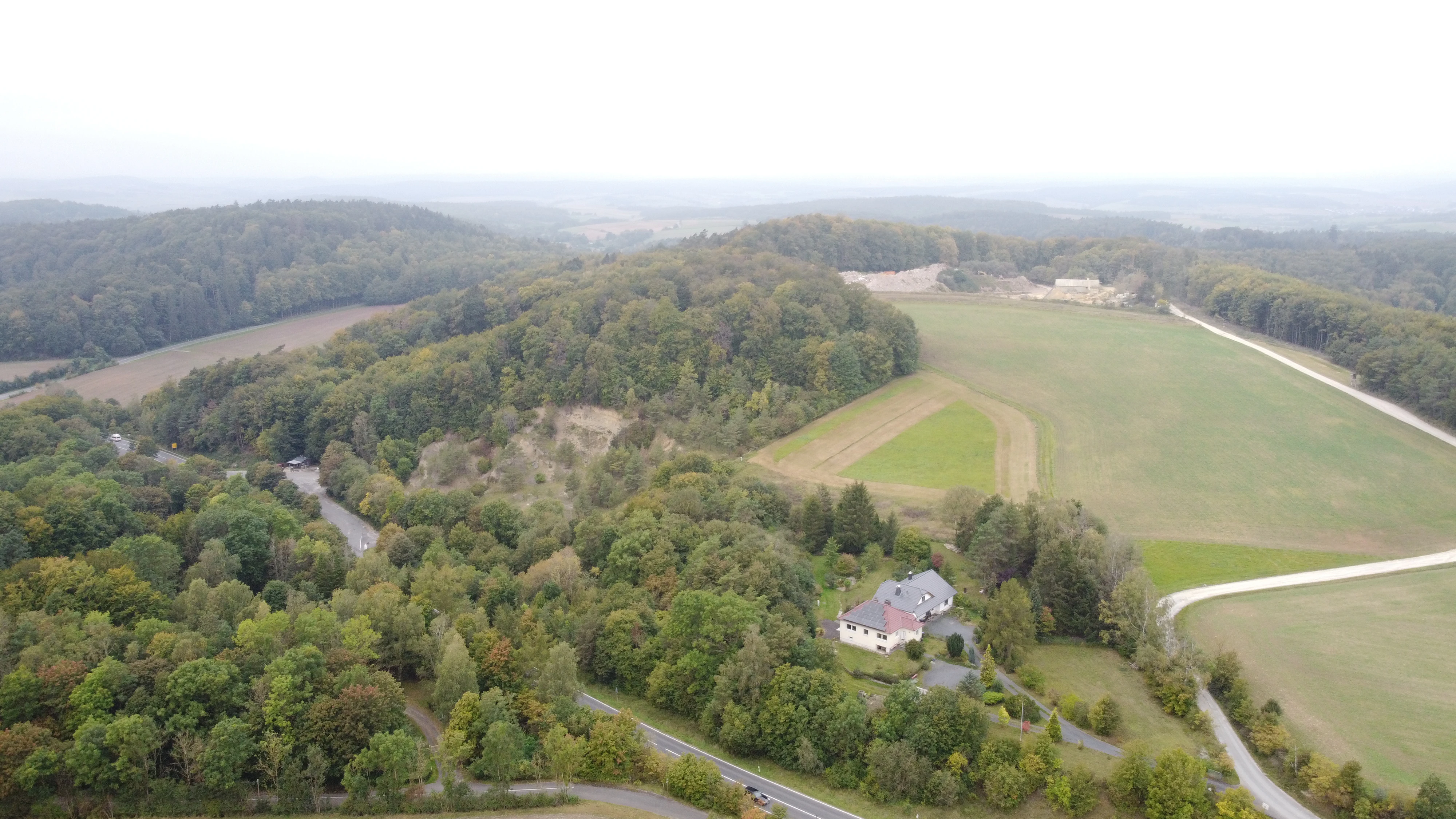
An aerial shot showing forested hills, open agricultural fields, a small cluster of buildings, and a road winding through the German countryside.
Aerial view of the Kalkkuppen bei Winterscheid landscape in Germany, featuring rolling hills and forested areas.

Kalkkuppen bei Winterscheid history and protected-area timeline

The area now known as Kalkkuppen bei Winterscheid was formally placed under nature protection in 1986, when its three parcels were designated as a Naturschutzgebiet under the identifier 1634014. The designation was driven by the need to conserve the area's unusual Lower Muschelkalk hills and their associated calcareous habitats, which contrasted strongly with the surrounding sandstone-dominated landscape of the Gilserberg Heights.

In 2003, the same three parcels were formally recognized as an FFH (Fauna-Flora-Habitat) area under the European Union's Habitats Directive, giving the site a dual protection status at both state and European levels. The boundaries of the nature reserve and the FFH site are identical, reflecting the integrated approach to conserving the area's geology, habitats, and species.

Kalkkuppen bei Winterscheid landscape and geographic character

The landscape of Kalkkuppen bei Winterscheid is defined by its compact set of low limestone hills rising above the broader Gilserberg Heights. The four protected hills include a double hill lying east of Winterscheid, a smaller hill just northwest of the village itself, and a northwestern hill that sits on the far side of the B 3 federal road. Together these hills form the rocky backbone of the reserve and give it a gently rolling but distinctly calcareous topography.

Geologically, the reserve sits within the Momberger Graben, a structural feature that has exposed Lower Muschelkalk rocks in an area dominated by Buntsandstein. The dominant rock type is Wellenkalk, a fine-grained, wave-bedded limestone that produces thin, slab-like weathering patterns and calcareous soils. The northwestern hill reaches approximately 420 meters, making it one of the higher summits of the Gilserberg Heights and giving the small reserve a noticeable presence in the local skyline.

The immediate surroundings of the reserve include the Josbach valley and the small communities served by the B 3 and K 98 roads. The transition from the calcareous hills of the reserve to the surrounding sandstone terrain is sharp, and this contrast is one of the most striking spatial characteristics of the area, even for visitors who only observe the landscape from nearby roads.

Kalkkuppen bei Winterscheid ecosystems, habitats, and plant life

The ecological character of Kalkkuppen bei Winterscheid is closely tied to its calcareous geology. While specific flora and fauna inventories are not detailed in the source material, the natural value of the area lies in the contrast between its limestone-based habitats and the siliceous habitats of the surrounding Gilserberg Heights. Calcareous substrates in such settings typically support specialized vegetation communities, including lime-loving grassland, herb, and rock-dwelling species, while also providing habitat for invertebrates adapted to calcium-rich conditions.

The reserve's three-part structure, with parcels distributed across both sides of the B 3 and along the Josbach valley, adds ecological variety by incorporating different exposures and microhabitats within a single protected complex. This mosaic of small limestone hills and intervening valleys enhances biodiversity at a local scale, even within a relatively modest total area.

Kalkkuppen bei Winterscheid conservation status and protection priorities

Kalkkuppen bei Winterscheid is protected under both German federal state nature conservation law as a Naturschutzgebiet and under European Union nature conservation policy as an FFH area under the Habitats Directive. This dual designation reflects the site's significance at both regional and European scales.

Conservation interest centers on the preservation of Lower Muschelkalk limestone habitats in an otherwise sandstone-dominated landscape. Such isolated calcareous sites are important refuges for specialized flora and fauna, and their inclusion in the Natura 2000 network provides additional protection and monitoring frameworks. The site's relatively small size is balanced by the rarity of its geological substrate within the region, giving it a high conservation value per hectare.

Top sights and standout views in Kalkkuppen bei Winterscheid

Kalkkuppen bei Winterscheid stands out for its rare Lower Muschelkalk hills in the Gilserberg Heights, its three-part structure spanning the Josbach valley and the B 3 corridor, and its dual designation as both a German nature reserve and an EU FFH site.

The reserve's strongest qualities are its geological contrast with the surrounding landscape, its calcareous habitat character, and its integration into the broader Natura 2000 network despite its modest footprint.

Monthly climate preview

Long-term monthly temperature and precipitation rhythm for Kalkkuppen bei Winterscheid

Kalkkuppen bei Winterscheid Climate Normals and Average Temperature Patterns

Long-term representative records outline the measured annual temperature and precipitation rhythm across Kalkkuppen bei Winterscheid. A complete twelve-month profile details monthly averages to support deeper regional climate analysis.
Annual mean8 °C
-1 °C18 °C
Jan-1°
Feb
Mar
Apr
May12°
Jun15°
Jul18°
Aug17°
Sep13°
Oct
Nov
Dec
Warmest month
July

17.6 °C

Coolest month
January

-1 °C

Wettest month
July

2.6 mm/day

Driest month
April

1.7 mm/day

Park location guide

Geography guide, regional context, and park location map for Kalkkuppen bei Winterscheid

Kalkkuppen bei Winterscheid park geography, regions, and map view in Germany

Understand where Kalkkuppen bei Winterscheid sits in Germany through a broader geographic reading of the surrounding landscape, nearby location context, and its mapped position within the national park landscape.

How Kalkkuppen bei Winterscheid fits into Germany

Germany is a federal republic in Western and Central Europe with a population of over 83 million across sixteen constituent states. It is Europe's largest economy by nominal GDP and a major global exporter and importer. The capital is Berlin, and the country borders Denmark, Poland, Czech Republic, Austria, Switzerland, France, Luxembourg, Belgium, and the Netherlands.

Wider geography shaping Kalkkuppen bei Winterscheid in Germany

Germany is located in Western and Central Europe, spanning 357,022 km². It borders Denmark to the north, Poland and the Czech Republic to the east, Austria and Switzerland to the south, and France, Luxembourg, Belgium, and the Netherlands to the west. The country has coastlines on the Baltic Sea and North Sea to the north, with the Alps located in the southern region.

Map view of Kalkkuppen bei Winterscheid

Use this park location map to pinpoint Kalkkuppen bei Winterscheid in Germany, understand its exact geographic position, and read its mapped placement within the surrounding landscape more clearly.

Pigeon | © OpenStreetMap contributors

Location context for Kalkkuppen bei Winterscheid

Hessen
Recorded earthquake history

Explore the Historical Earthquake Catalogue for Kalkkuppen bei Winterscheid

Review recorded seismic events in the vicinity of Kalkkuppen bei Winterscheid through our structured historical data collection. This resource tracks magnitudes and epicentre proximity for researchers and those interested in the geographic context of these protected limestone hills in northern Hesse.

Kalkkuppen bei Winterscheid Earthquake History

Catalogued events

1 event

Strongest magnitude

Magnitude 3.4

Most recent event

Jan 29, 1982

This history includes earthquakes recorded inside the park or within 50 km of its borders

Visual exploration of limestone hills, terrain, and calcareous habitats

Kalkkuppen bei Winterscheid Photos and Protected Area Scenery

Examine detailed photography highlighting the rare limestone hills and distinctive geological terrain of Kalkkuppen bei Winterscheid. Visual records illustrate the protected landscape character and calcareous vegetation communities across the reserve parcels.

An aerial shot showing forested hills, open agricultural fields, a small cluster of buildings, and a road winding through the German countryside.

Park atlas

Compare nearby regional reserves and connected protected landscapes

Other Parks and Protected Areas Near Kalkkuppen bei Winterscheid

Browse other parks and protected areas near Kalkkuppen bei Winterscheid to examine regional geological variations across northern Hesse. Comparing adjacent conservation sites provides deeper geographic context for understanding local limestone formations within surrounding sandstone terrain.
A watercolor painting of soft, green rolling hills and clusters of trees set against a pale, light-washed sky on a white background.
Nature reserveHesse
About 7.4 km away#1 closest

East

Biedenbacher Teiche bei Florshain Nature Reserve, Hesse Protected Wetland Geography

A rare refuge of stream-fed ponds and meadows in northern Hesse

The Biedenbacher Teiche bei Florshain nature reserve protects a dense concentration of wetland microhabitats along the Biedenbach stream. Spanning ponds, sedge beds, and floodplain woodlands, this site offers a look into the vital ecological character of the Schwalm-Eder region. It remains an essential, undisturbed archive of local wetland flora and fauna within the larger, intensively cultivated Hessian agricultural landscape.

Area
0.035 km²
Established
1983
Relief
Lowland
Climate
Temperate
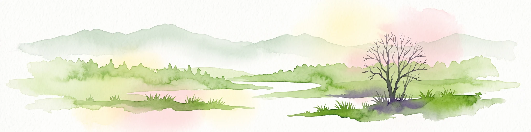
A watercolor painting depicting a soft-focus landscape with rolling green hills in the distance, a grassy foreground, and a single bare-branched tree on the right side.
Nature reserveHessen
About 11 km away#2 closest

West

Merzhäuser Teiche Nature Reserve: Geographic Atlas and Protected Landscape Overview

A dense wetland mosaic in the Burgwald region of Hessen.

Merzhäuser Teiche is a compact nature reserve situated on the edge of the Burgwald, Hesse's largest contiguous forest. Centered on three small ponds linked by the Kimmelbach, the area protects a transition zone of alder swamp, wet meadows, and nutrient-poor grassland. This site serves as a crucial habitat for waterbirds, amphibians, and rare butterflies within a characteristic central German landscape.

Area
0.201 km²
Established
1990
IUCN
IV
Relief
Lowland
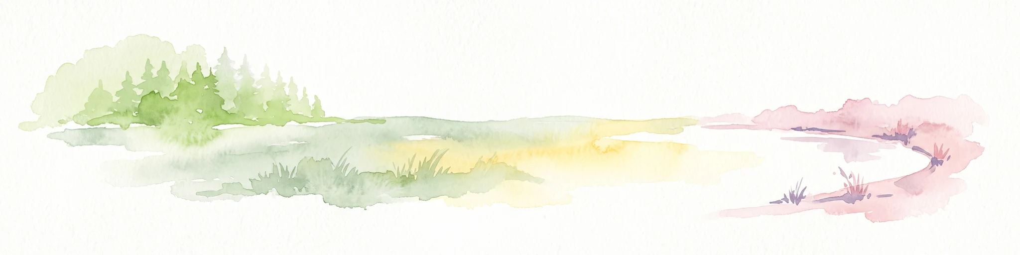
Watercolor illustration depicting a serene wetland landscape with a small forest patch on the left, grassy marshland in the center, and a pink-toned shoreline on the right.
Nature reserveHessen
About 15 km away#3 closest

West

Franzosenwiesen/Rotes Wasser: Protected Nature Reserve and Lowland Stream Geography

Hessen regional conservation and Burgwald foothills terrain

The Franzosenwiesen/Rotes Wasser reserve offers a window into the lowland stream geography of central Germany. This site preserves a vital corridor of wet meadows and riparian habitat along the Rotes Wasser brook, serving as a key example of the conservation landscapes found within the rolling foothills of the Burgwald region in Hessen.

Area
0.898 km²
Established
1987
Relief
Lowland
Climate
Temperate
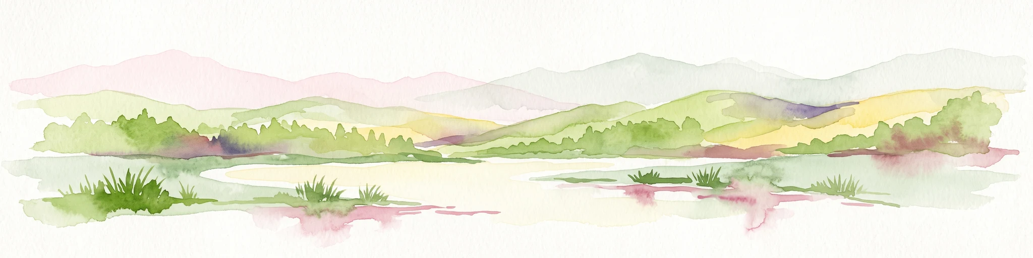
Watercolor painting of green rolling hills and a calm, pale water surface under a soft, light-colored sky.
Protected landscapeHessen
About 16 km away#4 closest

North

Naturpark Kellerwald-Edersee: Protected Landscape Geography and Map Context

Mapping the forest ridges and reservoir shores of northern Hessen

Examine the geographic foundation of Naturpark Kellerwald-Edersee, a sprawling protected area in northern Hessen. The landscape is characterized by its expansive ancient beech forests, deep valleys, and the Edersee reservoir. This entry provides a detailed look at the park's low mountain terrain, elevation ranges, and the ecological connectivity between its wooded ridges and surrounding river systems.

Area
595.25 km²
Established
2001
Relief
Mountain
Climate
Temperate
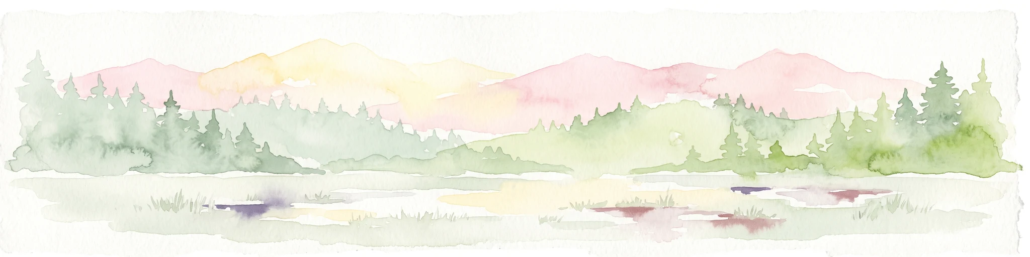
A soft watercolor painting showing a panoramic view of a marshy valley with green coniferous forests in the midground and pale, soft-hued hills in the background.
Nature reserveHesse
18 km away#5 closest

West

Christenberger Talgrund: A Protected Nature Reserve in the Central Hessian Burgwald Landscape

Geography of a rare valley bog and stream corridor

Christenberger Talgrund is a protected nature reserve located at the edge of the Burgwald forest in Hesse. The site features a distinctive valley floor shaped by the Rodenbach, where historical peat accumulation has preserved transitional bog habitats, rare Sphagnum mosses, and specialized moisture-dependent invertebrate populations within a compact, forested setting.

Area
1.166 km²
Established
1987
IUCN
IV
Watercolor painting showing a landscape with hills, forest, and a body of water
National parkHesse
18 km away#6 closest

North

Kellerwald-Edersee National Park: Hesse's Protected Landscape Exploration

Mapped boundaries and geographic context for this German national park.

Navigate the protected landscape of Kellerwald-Edersee National Park, a key national park situated in the German state of Hesse. This atlas entry focuses on its precise geographic definition, mapped terrain features, and the broader regional context it occupies within central Germany. Gain structured insights into the park's conservation significance and its place in the mapped landscape.

Area
76.88 km²
Established
2004
IUCN
II
Relief
Highland
A watercolor painting showing a tranquil lake shore with soft green vegetation and distant muted hills.
Nature reserveSchwalm-Eder-Kreis
18 km away#7 closest

Northeast

Borkener See Nature Reserve: Geographic Overview of a Reclaimed Wetland and Bird Sanctuary

A protected landscape featuring oligotrophic lake waters in Schwalm-Eder-Kreis.

Borkener See serves as a focal point for understanding the reclamation of mining landscapes in northern Germany. As an officially protected nature reserve, it provides a stable habitat for migratory bird species, with deep water basins and carefully managed wetland buffers defining its physical and ecological presence in the Westhessische Senke.

Area
3.5 km²
Established
1990
Relief
Lowland
Climate
Temperate
Nature reserveHessen
About 19 km away#8 closest

South

Saurasen bei Schweinsberg Nature Reserve: Protected Geography and Floodplain Landscape

Ohm River basin protected area in central Hessen

Saurasen bei Schweinsberg is a compact, habitat-rich nature reserve located in the Ohm River lowland. The protected area features a unique hydrological mosaic of alder-ash woodland, sedge fens, and wet grasslands, serving as a sanctuary for diverse migratory birds and the threatened European tree frog. This site offers deep insights into the intersection of active river dynamics and traditional cultural landscapes in central Hessen.

Area
0.136 km²
Established
1985
Relief
Lowland
Climate
Temperate

Common questions about visiting, size, designation, and location context for Kalkkuppen bei Winterscheid

Kalkkuppen bei Winterscheid FAQs for park facts, access, geography, and protected area context

Find quick answers about Kalkkuppen bei Winterscheid, including protected-area facts, park geography, trail and visitor context, and how the park fits into its surrounding country and regional landscape.
MoriAtlas Explorer

Continue Your Protected Areas Search Across the Global Atlas

Deepen your exploration by continuing the structured search for national parks and protected areas worldwide. Utilize the comprehensive filtering capabilities to compare different conservation landscapes and refine your understanding of global park geography. Discover more about the distribution and characteristics of protected natural areas.

Global natural geography