
Mori Atlas logo
Nature reserveKalkmagerrasen und Diemelaltwasser bei Lamerden

A compressed topographic mosaic uniting Diemel river floodplains and shell limestone grassland slopes

Kalkmagerrasen und Diemelaltwasser bei Lamerden: Protected Landscapes in Landkreis Kassel

(Naturschutzgebiet Kalkmagerrasen und Diemelaltwasser bei Lamerden)

Kalkmagerrasen und Diemelaltwasser bei Lamerden represents a significant protected area in northern Hesse, characterized by its striking convergence of two contrasting ecosystems within a compact seventeen-hectare footprint. The site transitions abruptly from the wetland character of a silted Diemel river oxbow to a steep west-facing shell limestone slope. This geographic mosaic supports a concentrated diversity of flora and invertebrates that rely on the interplay between seasonal flooding and well-drained calcareous soils.

nature reservecalcareous grasslandDiemel Valleyshell limestoneoxbow lakeorchids
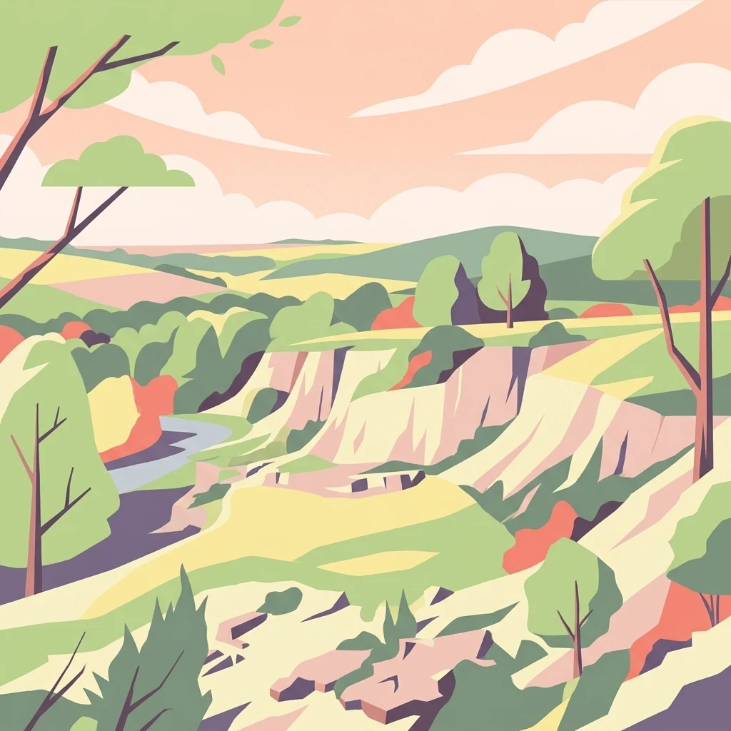
A flat-style digital illustration depicting a river valley with steep light-colored cliffs, surrounding green meadows, scattered trees, and a distant hilly horizon under a soft, warm sky.

Kalkmagerrasen und Diemelaltwasser bei Lamerden

Nature reserve

Park overview

Structured park overview, official facts, and landscape profile for Kalkmagerrasen und Diemelaltwasser bei Lamerden

Kalkmagerrasen und Diemelaltwasser bei Lamerden park facts, protected area profile, and essential visitor context

Review the core facts for Kalkmagerrasen und Diemelaltwasser bei Lamerden, including designation, size, terrain, visitor scale, habitats, and operating context in one park-focused overview.

About Kalkmagerrasen und Diemelaltwasser bei Lamerden

Kalkmagerrasen und Diemelaltwasser bei Lamerden occupies a distinctive niche in the network of protected areas in northern Hesse. Although it covers only a little over seventeen hectares and is divided into four non-contiguous patches, it pulls together two habitat types that are characteristic of the Diemel Valley but only rarely preserved together at this scale: a hydrologically dynamic riverine oxbow system and a floristically rich semi-dry grassland on calcareous bedrock.

The reserve sits east and northeast of the village of Lamerden, with one of its sub-areas reaching the edge of the settlement. From the Diemel River itself, the site is separated by the embankment of the Kassel to Warburg railway, which runs along the valley floor on the former route of the historic Friedrich-Wilhelms-Nordbahn. This combination of village-edge location, former mineral workings, valley floodplain, and relict river channel gives the protected area a layered landscape character that reflects both natural geomorphology and long human use.

Two of the four sub-areas contain the surviving fragment of a former Diemel arm, modified over time by infill and embankment work. Although reduced from its original extent and partly subdivided, this oxbow still retains roughly 3,500 square meters of open water within an active flood zone. Its water level is maintained by pressure water from the Diemel's bed and by runoff from the adjacent slopes, making it a sensitive seasonal wetland that shifts noticeably between high and low flow conditions. The remaining open water, fringing reed beds, and stands of yellow iris and tree-sized willows give this portion of the reserve a distinctly riparian character despite its small size.

The other sub-areas occupy a steep, west-facing slope that drops toward the Diemel Valley. The bedrock here is Muschelkalk, a Triassic shell limestone typical of much of the wider region and the geological foundation that supports the calcareous grassland vegetation above. Some five hectares of species-rich Kalkmagerrasen grow on this slope, in places studded with dense juniper shrubs that reflect the historical grazing regime. A small, unfilled former limestone quarry adds micro-relief and additional habitat edges. Hedges, scrub vegetation, and small woodland patches fill out the rest of the site, creating a mosaic of low-intensity grassland, fringe habitats, and woody structure.

Together, these elements make the reserve a compact but unusually rich example of the kind of habitat complexes that characterize the Diemel Valley and that have been progressively lost elsewhere in northern Germany. Within the broader landscape, the site plays a clear role as both a refugium and a stepping stone: a place where calcareous grassland species, wetland plants, orchids, and certain invertebrates can persist, and from which they can continue to interact with surrounding landscapes through the Diemel Valley's wider ecological network.

Quick facts and research context for Kalkmagerrasen und Diemelaltwasser bei Lamerden

Kalkmagerrasen und Diemelaltwasser bei Lamerden is a nature reserve (Naturschutzgebiet) located in the Diemel Valley near Lamerden, in the Kassel district of northern Hesse, Germany. The protected area consists of four separated sub-areas that together cover roughly seventeen hectares.

The reserve protects two complementary habitat types: a remnant oxbow of the Diemel River with open water and wetland vegetation, and a west-exposed limestone slope with species-rich calcareous grassland. The site has been protected since 1989 and was designated as a Natura 2000 area under the code DE 4422-303 in 2008. It is part of a wider Diemel Valley landscape of calcareous grasslands that is considered one of the most important in northern Germany.

Protection and recognition

Documented terrestrial protection history, designation year, and Natura 2000 records

Kalkmagerrasen und Diemelaltwasser bei Lamerden Protection Status and Recognition

Kalkmagerrasen und Diemelaltwasser bei Lamerden holds recorded terrestrial protection established in 2008 alongside associated Natura 2000 designation sources. Verified administrative tracking establishes the formal recognition history and international context for this protected area.
Park context

Deeper park guide and search-rich context for Kalkmagerrasen und Diemelaltwasser bei Lamerden

Kalkmagerrasen und Diemelaltwasser bei Lamerden history, landscape, wildlife, and travel context

Explore Kalkmagerrasen und Diemelaltwasser bei Lamerden through its history, landscape character, ecosystems, wildlife, conservation priorities, cultural context, and seasonal travel timing in a structured park guide built for atlas discovery and search intent.

Why Kalkmagerrasen und Diemelaltwasser bei Lamerden stands out

The reserve is best known for combining two strongly contrasting yet ecologically linked habitats inside a single small protected site. On one side lies a partially silted Diemel River oxbow with reeds, yellow iris, and tree-like willows; on the other lies a steep shell limestone slope carrying around five hectares of orchid-rich calcareous grassland in the gentian-fescue association Gentiano-Koelerietum. It is especially recognized for its populations of rare and threatened plants, including cross gentian, German fringed gentian, grass of Parnassus, mountain everlasting, and notable orchid species such as military orchid and lady orchid. The site also supports breeding red-backed shrikes and nightingales, along with a community of butterflies that includes the cross gentian blue, a species intimately tied to the presence of its host gentians. The Diemel Valley as a whole, of which this reserve is a part, is widely regarded as one of the most important calcareous grassland landscapes in northern Germany.
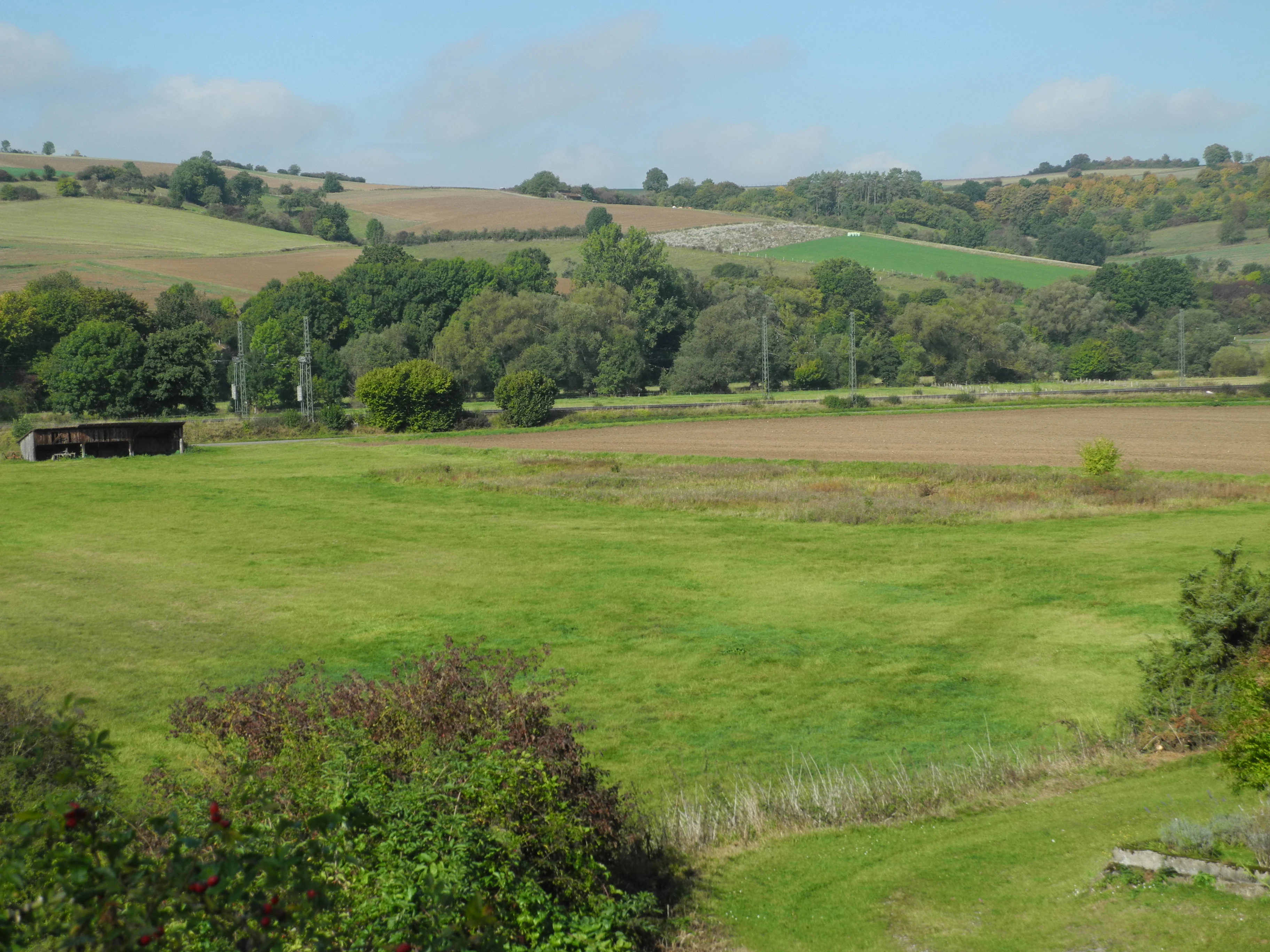
A wide view of a rural landscape with open green fields in the foreground, a line of trees, and rolling hills in the background under a blue sky.
A view across the grassy fields and oxbow remnants of the Kalkmagerrasen und Diemelaltwasser bei Lamerden nature reserve.

Kalkmagerrasen und Diemelaltwasser bei Lamerden history and protected-area timeline

The history of Kalkmagerrasen und Diemelaltwasser bei Lamerden is small in formal terms but reflects the broader protection history of the Diemel Valley's calcareous grasslands. The site was officially designated as a nature reserve (Naturschutzgebiet) in 1989, formalizing decades of de facto protection for the limestone slope grasslands and the riverine remnant.

In 2008, the same area was designated as a Natura 2000 site under the code DE 4422-303, aligning the national protection status with the European Habitats Directive framework. This dual designation recognized both the habitat types present, including calcareous grassland and riparian wetland features, and the populations of species of conservation concern that depend on the site.

Beyond its formal protection history, the reserve sits within a landscape whose calcareous grasslands are products of past grazing and, before that, of ancient huidewald-style use of the valley slopes. The presence of juniper stands, the persistence of orchids and gentians, and the survival of a Diemel oxbow fragment together suggest a landscape that has been shaped by centuries of human activity and that has been actively retained through conservation awareness in the late twentieth and early twenty-first centuries.

Kalkmagerrasen und Diemelaltwasser bei Lamerden landscape and geographic character

The landscape of Kalkmagerrasen und Diemelaltwasser bei Lamerden is shaped by the contrast between the flat Diemel river corridor and the steep Muschelkalk slope that rises above it. The reserve's valley-edge position gives it both a floodplain element and an abrupt topographic transition, creating a compressed but dramatic terrain within a small footprint.

Along the valley floor, the Diemelaltwasser portion of the reserve consists of a partly silted former Diemel arm. Although its original form has been reduced by infill and embankment-related disturbances, the surviving channel still represents a recognizable oxbow system within the active flood zone. Open water covers roughly 3,500 square meters, with water levels influenced by pressure water from the Diemel's main bed and by groundwater seeping from the slope above. Reed beds, margins of yellow iris, and scattered tree-sized willows frame the channel and give this part of the landscape a distinctly wetland character.

Above the floodplain, the Muschelkalk slope forms the other half of the reserve's landscape. Bedded shell limestone produces thin, well-drained calcareous soils that have long supported semi-natural grassland vegetation. The slope faces west, providing open exposure to afternoon sun and creating the warm, dry microclimate that calcareous grassland species favor. Juniper bushes punctuate the grassland in places, giving parts of the slope a partially shrubby appearance. A small former limestone quarry introduces rough micro-topography, including rock faces, scree, and transitional vegetation that adds habitat diversity on a very local scale. Hedges, scrub patches, and small wooded areas occupy the remaining parts of the slope mosaic, softening the boundary between open calcareous grassland and surrounding land uses.

Kalkmagerrasen und Diemelaltwasser bei Lamerden ecosystems, habitats, and plant life

The reserve's natural character is built on the coexistence of two quite different ecological systems within a very short distance. The Diemelaltwasser half is a riverine wetland system, with open water, emergent reed vegetation, and wet woodland elements in the form of tree-like willows. Yellow iris stands contribute dense seasonal cover in the transitional zone between open water and bank, and the whole system pulsates with the flooding rhythm of the nearby Diemel main channel.

The calcareous grassland on the Muschelkalk slope forms the reserve's other ecological pillar. These are not just any dry grasslands; they are specifically the Enzian-Fiederzwenken-Rasen, phytosociologically classified as the association Gentiano-Koelerietum, the formerly grazed variant of central European calcareous grassland. The vegetation is rich in specialist plants of warm, base-rich, low-productivity soils and depends on long continuity of low-intensity grazing or, in some places, on long absence of nutrient enrichment and forest encroachment.

Supporting habitats inside the reserve expand the ecological mosaic further. Juniper thickets provide structural diversity and shelter, hedges and scrubby edges offer transitional habitat, small woodland patches add shade and variation, and the former limestone quarry creates small patches of bare rock, rubble, and ruderal vegetation. Together, these elements turn the reserve into a multilayered habitat island that supports a wider range of species than its total area alone would suggest.

Kalkmagerrasen und Diemelaltwasser bei Lamerden wildlife and species highlights

Wildlife in Kalkmagerrasen und Diemelaltwasser bei Lamerden is dominated by the fauna of calcareous grassland and riparian habitats. The Diemelaltwasser and its riparian margins support wetland-associated birdlife, while the species-rich grassland on the Muschelkalk slope supports an exceptionally valuable invertebrate fauna.

Among breeding birds, the reserve is notable for red-backed shrike and common nightingale, both of which are characteristic species of structured landscapes that mix open grassland, scrub, hedges, and small trees. Their presence reflects the reserve's combination of open calcareous slopes and dense juniper, scrub, and hedgerow elements, which together create the layered habitat these species prefer.

The reserve's invertebrate interest is equally strong. Eleven butterfly species have been recorded in the grassland areas, including the cross gentian blue, a rare blue butterfly whose life cycle is tightly bound to the gentian species that grow on the same slope. This tight ecological link between butterfly and host plant is one of the reasons the calcareous grasslands are valued at both national and European levels. The broader grassland mosaic also provides habitat for other day-flying butterflies and moths typical of well-preserved semi-dry calcareous habitats.

Kalkmagerrasen und Diemelaltwasser bei Lamerden conservation status and protection priorities

Kalkmagerrasen und Diemelaltwasser bei Lamerden is a strong example of small-scale but high-impact conservation in northern Hesse. Its significance derives from the fact that it preserves both a rarefied calcareous grassland complex on shell limestone and a functioning, though reduced, Diemel River oxbow system in close proximity, two habitat types that have been heavily depleted across much of central Europe.

The reserve's designation in 1989 marked its entry into the Hessian nature reserve network, while its 2008 inclusion in the Natura 2000 network under the code DE 4422-303 added European-level recognition. These designations acknowledge the site's importance for specific habitat types, including calcareous grasslands and riparian wetlands, and for particular species of conservation concern, including breeding bird species and rare grassland plants and butterflies.

In landscape terms, the reserve is part of a much larger Diemel Valley system in which roughly 750 hectares of calcareous grassland are distributed across some 145 separate areas in Hesse and North Rhine-Westphalia. The Landschaftsrahmenplan Nordhessen 2000 treated this as one of the most important calcareous grassland complexes in northern Germany and included it in a biotope connection concept focused on linking Magerrasen, Bergwiesen, and Heiden. Within this framework, the Lamerden reserve functions both as a local refugium for specialist species and as a node in a broader conservation strategy aimed at maintaining calcareous grassland habitat across the region.

Kalkmagerrasen und Diemelaltwasser bei Lamerden cultural meaning and human context

The cultural context of the reserve is closely tied to long human use of the Diemel Valley. The calcareous grasslands on the Muschelkalk slope have traditionally been shaped by grazing, and the presence of well-developed juniper stands is consistent with older, less intensive land-use regimes. The small former limestone quarry on site also bears witness to historical mineral extraction activities that have left localized but persistent marks on the landscape.

The reserve's proximity to the village of Lamerden and its position along the historic Friedrich-Wilhelms-Nordbahn, now the Kassel to Warburg railway line, tie it into the broader cultural fabric of the Diemel Valley, where settlement, agriculture, transport infrastructure, and protected natural areas have long coexisted in a tightly interwoven landscape.

Top sights and standout views in Kalkmagerrasen und Diemelaltwasser bei Lamerden

Kalkmagerrasen und Diemelaltwasser bei Lamerden stands out for its pairing of a Diemel River oxbow remnant with a shell limestone slope supporting orchid-rich calcareous grassland. Its combination of small size, varied habitat structure, and high concentration of rare species makes it a disproportionately valuable element of the Diemel Valley's protected-area network.

Best time to visit Kalkmagerrasen und Diemelaltwasser bei Lamerden

Calcareous grasslands of this type are most expressive in late spring and summer, when orchids such as military orchid and lady orchid flower, gentian species emerge among the grasses, and the highest density of flowering plants can be observed in the slope grasslands. Warmer and drier periods also bring out butterflies and other invertebrates, including species whose life cycles are tightly linked to the flowering of their host plants.

The Diemelaltwasser portion of the reserve has a different seasonal rhythm. Higher Diemel water levels may temporarily enlarge or alter the flooded zone, while lower summer levels expose more of the wetland margins and make the wetland character easier to appreciate from a distance. Overall, late spring through summer is the most rewarding window for experiencing both the botanical and the invertebrate richness of the site, though the landscape retains character through much of the year.

Monthly climate preview

Long-term temperature and precipitation patterns sampled from representative park coordinates

Kalkmagerrasen und Diemelaltwasser bei Lamerden Climate Normals and Weather by Month

Representative baseline coordinates record average monthly temperatures spanning sub-zero winter minimums to warm summer maximums alongside consistent daily precipitation. Reviewing the complete twelve-month sequence details the full range of thermal fluctuations across the protected terrain.
Annual mean8 °C
-1 °C18 °C
Jan-1°
Feb
Mar
Apr
May12°
Jun16°
Jul18°
Aug18°
Sep14°
Oct
Nov
Dec
Warmest month
July

18 °C

Coolest month
January

-0.6 °C

Wettest month
July

2.5 mm/day

Driest month
April

1.5 mm/day

Park location guide

Geography guide, regional context, and park location map for Kalkmagerrasen und Diemelaltwasser bei Lamerden

Kalkmagerrasen und Diemelaltwasser bei Lamerden park geography, regions, and map view in Germany

Understand where Kalkmagerrasen und Diemelaltwasser bei Lamerden sits in Germany through a broader geographic reading of the surrounding landscape, nearby location context, and its mapped position within the national park landscape.

How Kalkmagerrasen und Diemelaltwasser bei Lamerden fits into Germany

Germany is a federal republic in Western and Central Europe with a population of over 83 million across sixteen constituent states. It is Europe's largest economy by nominal GDP and a major global exporter and importer. The capital is Berlin, and the country borders Denmark, Poland, Czech Republic, Austria, Switzerland, France, Luxembourg, Belgium, and the Netherlands.

Wider geography shaping Kalkmagerrasen und Diemelaltwasser bei Lamerden in Germany

Germany is located in Western and Central Europe, spanning 357,022 km². It borders Denmark to the north, Poland and the Czech Republic to the east, Austria and Switzerland to the south, and France, Luxembourg, Belgium, and the Netherlands to the west. The country has coastlines on the Baltic Sea and North Sea to the north, with the Alps located in the southern region.

Map view of Kalkmagerrasen und Diemelaltwasser bei Lamerden

Use this park location map to pinpoint Kalkmagerrasen und Diemelaltwasser bei Lamerden in Germany, understand its exact geographic position, and read its mapped placement within the surrounding landscape more clearly.

Pigeon | © OpenStreetMap contributors

Location context for Kalkmagerrasen und Diemelaltwasser bei Lamerden

Landkreis Kassel

Visualizing calcareous grasslands, river oxbows, and valley terrain across northern Hesse

Kalkmagerrasen und Diemelaltwasser bei Lamerden Photos and Protected Landscape Scenery

Photographic collections reveal the striking environmental contrast between the wet Diemel river corridor and the dry limestone slopes of Kalkmagerrasen und Diemelaltwasser bei Lamerden. Visual records document rare orchids, juniper thickets, and wetland vegetation to provide clear insight into protected habitats.

A wide view of a rural landscape with open green fields in the foreground, a line of trees, and rolling hills in the background under a blue sky.

A wide angle landscape view of a former quarry with sparse grassy vegetation, scattered shrubs, and a forested backdrop under a clear sky.

Park atlas

Compare nearby regional parks and connected protected landscapes across northern Hesse

Parks near Kalkmagerrasen und Diemelaltwasser bei Lamerden and Surrounding Protected Areas

Browse protected areas and river valley reserves located near Kalkmagerrasen und Diemelaltwasser bei Lamerden to compare regional calcareous grasslands and wetland ecosystems. Examining adjacent conservation terrain helps place local floodplain habitats and limestone slopes into a broader geographic context.
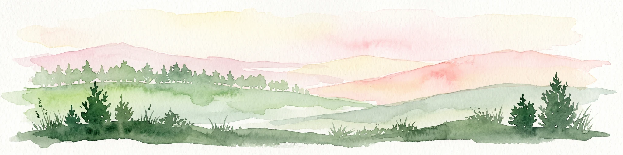
A soft watercolor illustration showing rolling green hills, distant mountains, and forested slopes on a white background.
Nature reserveHesse
0.3 km away#1 closest

East

Dingel und Eberschützer Klippen: Protected Landscapes and Geography in Hesse, Germany

A dense mosaic of limestone slopes, juniper scrub, and beech forest communities.

Discover the geographic identity of Dingel und Eberschützer Klippen, a combined nature reserve and Natura 2000 site in northern Hesse. The protected area features a unique concentration of orchid-rich habitats, south-facing limestone slopes, and broadleaf forest blocks that define this essential part of the Reinhardswald region.

Area
1.123 km²
Established
1987
Relief
Upland
Climate
Temperate
A soft watercolor illustration showing rolling green hills, small groups of conifer trees, and a pale pink and peach sky in the background.
Natural monumentEberschütz
1 km away#2 closest

North

Der Bunte Berg bei Eberschütz: Natural Monument and Landscape Geography

Limestone ridge and calcareous grassland habitat in Germany

Examine the topography and protected land features of Der Bunte Berg bei Eberschütz. This compact reserve provides a critical study of limestone-influenced terrain, transitioning from mature pine and beech woodland to specialized juniper heath and dry grassland habitats essential for regional biodiversity.

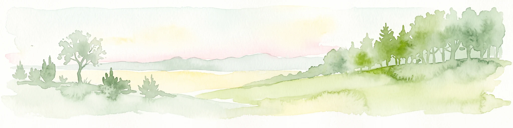
A watercolor painting showing a rolling landscape with sparse trees on the left, a grassy slope rising to a small forest on the right, and distant hills under a pale, soft sky.
Nature reserveLandkreis Kassel
1.5 km away#3 closest

South

Ostheimer Hute Nature Reserve: Protected Calcareous Grassland Landscapes in Landkreis Kassel

A preserved limestone slope habitat in northern Hesse

Ostheimer Hute is a protected nature reserve characterized by species-rich calcareous dry grasslands on Triassic Muschelkalk limestone. Located within the Diemel Valley, this site preserves a traditional open landscape through managed grazing, supporting diverse invertebrate fauna and specialized flora across its distinct hill-slope parcels.

Area
0.162 km²
Established
1989
Relief
Upland
Climate
Temperate
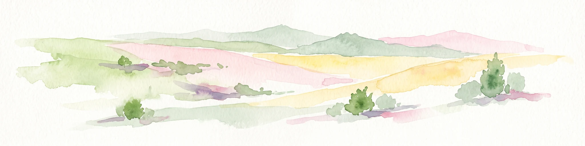
A soft watercolor painting of rolling green and yellow hills under a clear sky, featuring sparse shrubbery and a gentle, layered horizon.
Nature reserveHessen
3.6 km away#4 closest

South

Mittelberg bei Hofgeismar: Nature Reserve and Protected Calcareous Grassland Site

A high-quality conservation landscape located in northern Hessen, Germany.

This nature reserve protects an ecologically rich slope habitat west of Hofgeismar. Defined by its sun-exposed calcareous soil and dry grassland, the site supports ten orchid species and a diverse assemblage of Red List butterflies. It stands as a textbook example of a small, high-density biodiversity hotspot embedded within the broader agricultural geography of the Kassel district.

Area
0.432 km²
Established
1991
Relief
Upland
Climate
Temperate
Nature reserveHesse
About 6.7 km away#5 closest

Southeast

Kelzer Teiche Nature Reserve: Mapped Geography and Protected Wetland Boundaries in Hesse

A historic managed fishpond landscape in the Kassel region of northern Germany.

Kelzer Teiche encompasses 18.5 hectares of lowland countryside defined by its twin fishponds and fringe habitats. This nature reserve plays a recognizable role in the regional network of protected sites in Hesse, offering essential shelter for reed dwelling and migratory birds within a broader agricultural setting.

Area
0.185 km²
Established
1977
Water
Major water bodies
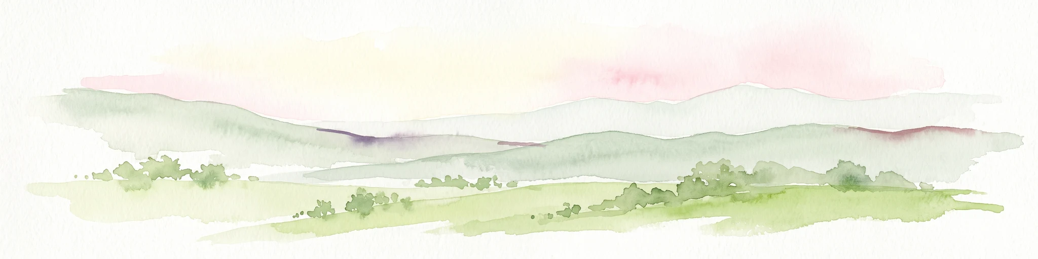
A soft watercolor painting of gentle green rolling hills and meadows under a faint pink sky.
Nature reserveHesse
6.8 km away#6 closest

Northeast

Flohrberg und Ohmsberg bei Deisel Nature Reserve; Calcareous Landscape and Park Boundaries

A protected Hessian site near Trendelburg

Situated in the Landkreis Kassel, Flohrberg und Ohmsberg bei Deisel encompasses 107 hectares of calcareous ground, disused quarries, and sheep-grazed grasslands. The area provides a critical landscape context for orchid-rich flora and rare butterfly fauna within the northern Hessian hill country, acting as a protected link between open farmland and the Reinhardswald forest edge.

Area
0.418 km²
Established
1990
A watercolor painting showing a soft, panoramic view of rolling green hills, lush vegetation, and water, with a light and airy artistic style.
Nature reserveHesse
About 6.8 km away#7 closest

South

Meßhagen bei Niedermeiser Nature Reserve: Protected Landscape and Regional Geography

A mapped conservation site in the woodlands of Northern Hesse

Meßhagen bei Niedermeiser represents a key nature reserve in Northern Hesse, characterized by its transition between old beech forest and managed calcareous grasslands. This protected area, part of the wider Kelzer Holz network, provides a study in managed habitat succession, where meadow flora and invertebrate populations thrive in the intersection of open terrain and dense woodland edges.

Area
0.546 km²
Established
1996
Relief
Upland
Climate
Temperate
Watercolor painting of a calm wetland landscape with soft green trees along the water edge under a light, misty sky.
Nature reserveHessen
12 km away#8 closest

Southeast

Rothenberg bei Burguffeln Protected Wetland Landscape and Nature Reserve in Hessen

A specialized pond and meadow mosaic in the Hessian lowlands

Rothenberg bei Burguffeln preserves a vital wetland complex near Immenhausen, structured across three distinct sections, including the Rothenküler Teich and Tonkaule. The area represents a significant example of culturally shaped lowland geography, blending historic aquaculture with contemporary habitat management. Its protected status reflects a commitment to maintaining intricate riparian corridors and meadow ecosystems within the wider Hessian countryside.

Area
0.278 km²
Established
1983

Common questions about visiting, size, designation, and location context for Kalkmagerrasen und Diemelaltwasser bei Lamerden

Kalkmagerrasen und Diemelaltwasser bei Lamerden FAQs for park facts, access, geography, and protected area context

Find quick answers about Kalkmagerrasen und Diemelaltwasser bei Lamerden, including protected-area facts, park geography, trail and visitor context, and how the park fits into its surrounding country and regional landscape.
MoriAtlas Explorer

Continue Your Protected Areas Search Across the Global Atlas

Deepen your exploration by continuing the structured search for national parks and protected areas worldwide. Utilize the comprehensive filtering capabilities to compare different conservation landscapes and refine your understanding of global park geography. Discover more about the distribution and characteristics of protected natural areas.

Global natural geography