Southeast
Grand Canyon National Park
Explore mapped boundaries and regional atlas context.
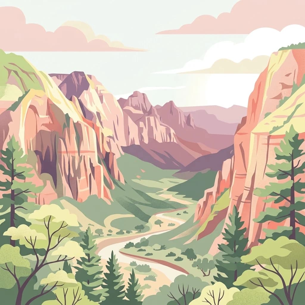
The Grand Canyon exposes layers of rock across a vast canyon landscape in Arizona.
- Area
- 4,926.08 km²
- Established
- 1919
- IUCN
- II
- Visitors
- 4.9M annual
A mapped catalogue of seismic events recorded within the proximity of Arizona wilderness canyons.
Explore a structured collection of historical earthquake records linked by epicentre proximity to the rugged terrain of the Kanab Creek Wilderness. This catalogue provides standardized access to event dates, magnitudes, and depths for seismic activity registered in the surrounding northern Arizona plateaus. Data is sourced from geological surveys to provide an overview of regional seismic history associated with this significant Colorado River tributary drainage.

Arizona's largest tributary canyon system on the north side of the Grand Canyon, cut deep into the Kanab and Kaibab Plateaus.
Kanab Creek Wilderness is a 75,300-acre protected wilderness area in northern Arizona, straddling the Coconino and Mohave County line within and adjacent to the Kaibab National Forest. It protects one of the most extensive tributary canyon systems feeding into the Colorado River on the north side of the Grand Canyon. The wilderness is defined by Kanab Creek and its network of feeder gorges, which have sliced vertical-walled canyons deep into the Kanab and Kaibab Plateaus. Elevations range from roughly 2,000 feet at the river to about 6,000 feet on the rim, creating layered desert-to-plateau habitats within a single protected area. Beyond its dramatic canyon scenery, the area is notable for prehistoric human occupation dating back to around AD 1100 and for some of the most significant rock art in the American Southwest. The wilderness is jointly administered by the U.S. Forest Service and the Bureau of Land Management and partially overlaps the Baaj Nwaavjo I'tah Kukveni Ancestral Footprints of the Grand Canyon National Monument, designated in 2023.
Navigate Kanab Creek Wilderness events by date, place, and distance
The Kanab Creek Wilderness record identifies earthquakes through epicentres and wilderness distance, without presuming that every entry falls inside its boundary. Read dates, magnitudes, depths, place labels, distances, and sources as historical observations, not as proof that wilderness or creek conditions caused seismicity, define current danger, or predict events.
This page describes catalogued earthquakes associated with the park by epicentre location and distance. It does not establish causation, assess current danger, or predict future earthquakes.
No earthquake records match the current filters
Expand beyond Kanab Creek Wilderness historical earthquake evidence

Southeast
Explore mapped boundaries and regional atlas context.
The Grand Canyon exposes layers of rock across a vast canyon landscape in Arizona.

Southeast
High-elevation forest terrain bordering the Grand Canyon
Spanning over 1.6 million acres in Arizona, Kaibab National Forest is characterized by its split geographic configuration, with distinct sections flanking the North and South rims of the Grand Canyon. The terrain ranges from the high-altitude Kaibab Plateau to volcanic uplands near Williams, encompassing four designated wilderness areas and varied forest ecosystems that provide a critical buffer for the surrounding canyon country.

West
Mapping basalt mesas and cinder cone ecosystems on the Uinkaret Plateau
Mount Trumbull Wilderness represents a distinct volcanic protected area located on the Uinkaret Plateau of the Arizona Strip. This rugged wilderness encompasses a massive basalt-capped mesa, scattered cinder cones, and deep ecological gradients ranging from pinyon-juniper woodlands to ancient ponderosa forests, providing a vivid look at the complex geological history near the Colorado River.

Northwest
Explore the mapped terrain and regional context of this Utah national park.
Zion National Park represents a key protected area within Utah, ideal for detailed geographic exploration. This canonical page offers insights into the park's specific mapped boundaries, its inherent landscape character, and its regional geographic setting. It is designed for users seeking to understand the atlas-level significance of Zion National Park as a national park entity, focusing on its protected terrain and natural geography.

Northeast
Colorado Plateau canyons, sandstone strata, and reservoir environments
Explore the geological architecture of Glen Canyon National Recreation Area, a vast federal protected landscape. The area showcases towering Navajo Sandstone cliffs, deep blue reservoir arms, and remote backcountry canyons that exemplify the distinct high desert terrain of the Colorado Plateau in the United States.

North
Explore the unique geology and protected boundaries of Bryce Canyon National Park.
Bryce Canyon National Park, in Utah, United States of America. Landscapes: plateaus, cliffs, and canyons.
Northwest
Wildlife reserve and watershed protection in Washington County
This protected area unit serves as a critical buffer for the upper LaVerkin Creek corridor. Its terrain spans the transition from high-elevation forested plateaus to deeply carved sedimentary canyons. By maintaining an unroaded status, the wilderness preserves essential riparian habitats and geological features that define the character of the surrounding southwestern Utah plateau region.

West
United States protected geography and reservoir terrain
Spanning the lower Colorado River, Lake Mead National Recreation Area represents a unique convergence of desert ecosystems and large-scale water management. Its geography includes extensive reservoir shorelines, deep canyon corridors, and volcanic basin terrain that provide a foundational look at the arid environments of the American Southwest. The area remains a significant study of how engineered water features alter and interact with complex desert landscapes.
Deepen your understanding of northern Arizona by analyzing the mapped boundaries and natural terrain of Kanab Creek Wilderness. This MoriAtlas destination reveals the complex geological architecture and regional significance of one of the largest protected canyon systems in the Grand Canyon watershed.