
Mori Atlas logo
Park guides

Explore focused resources for navigating the landscapes, peaks, and lochs of this national park.

Collection of Available Guides for Loch Lomond and The Trossachs National Park in Scotland

Access the complete index of guides for Loch Lomond and The Trossachs National Park. These resources provide specific insights into regional geography, including the seasonal considerations for exploring the Highland Boundary Fault, ancient pine forests, and dramatic mountain terrain found within this protected Scottish landscape.

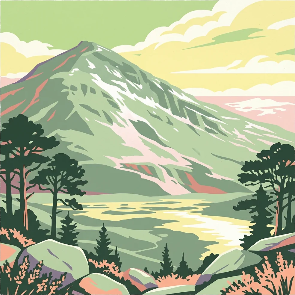
Stylized illustration showing a mountain with snow patches, surrounded by trees and a body of water under a cloudy sky

Scotland's first national park, protecting lochs, mountains, and ancient forests

Loch Lomond and The Trossachs National Park

Loch Lomond and The Trossachs National Park represents Scotland's commitment to protecting its natural heritage through national park designation, a process that took over fifty years from initial proposals to actual establishment. The park was formally created on 1 July 2002 under the National Parks (Scotland) Act 2000, becoming the first of Scotland's two national parks, followed by the Cairngorms in 2003. Unlike many national parks worldwide that protect wilderness areas largely untouched by human activity, Scotland's national parks must manage semi-natural landscapes shaped by thousands of years of human activity including agriculture, historical deforestation, overgrazing, and twentieth-century afforestation with introduced tree species. The park is administratively divided into four distinct sections by the park authority: Breadalbane in the north, Loch Lomond at the centre, The Trossachs to the east, and Cowal in the west. Each section offers a different character and landscape experience. Breadalbane encompasses the steep hills and mountains of the southern Highlands, centred on the villages of Crianlarich and Tyndrum, and includes the park's highest peak, Ben More. The Cowal peninsula in the western part of the park is largely covered by the Argyll Forest Park and includes the Arrochar Alps, a popular location for hillwalking and climbing. The park lies close to Scotland's heavily populated Central Belt, making it exceptionally accessible for day trips and weekend excursions from Glasgow, Edinburgh, and Stirling. This accessibility, combined with the quality of the scenery, has resulted in the area being one of Scotland's most visited protected areas. The park authority works to balance the needs of visitors with conservation objectives, managing recreational access while protecting the natural and cultural heritage that makes the area special.

Location
United Kingdom
Park type
National park
Established
2002
Area
1,865 km²
Highest point
1,174 m
Explore Loch Lomond and The Trossachs National Park Geography
1 guide

Compare topic led destination guides and visitor timing insights

Published Guides for Loch Lomond and The Trossachs National Park

Browse the complete collection of published guides covering Loch Lomond and The Trossachs National Park with specific thematic focus. Each resource helps readers evaluate seasonal timing factors like daylight hours and regional rainfall before planning exploration.
MoriAtlas Explorer

Explore the Geographic Boundaries of Loch Lomond and The Trossachs National Park

Continue mapping the diverse terrain of Scotland's premier protected area. MoriAtlas provides a clear look at the mountains, glens, and loch systems that define this significant Highland landscape.