Mori Atlas logo
Park earthquake history

A historical archive of seismic events mapped by epicentre distance to marine protected boundaries.

Recorded Earthquake History and Seismic Activity Records for Macquarie Island Marine Park

This collection provides a comprehensive record of seismic events that have occurred in the vicinity of Macquarie Island Marine Park. Each entry tracks specific earthquake occurrences, documenting magnitude, depth, and distance from the park borders to provide context on regional tectonic activity. Users can browse historical patterns within this marine environment based on standardized data sourced from geological observation networks.

Related tags

subantarcticmarine protected areaisland marine parkdeep sea habitatsabyssal plain

A vast subantarctic marine sanctuary encircling one of the most remote islands in the southwest Pacific.

Macquarie Island Marine Park

The Macquarie Island Marine Park is a large Australian marine protected area surrounding Macquarie Island in the southwest Pacific Ocean. It lies in the remote subantarctic region, far to the southeast of the Australian mainland and roughly halfway between Australia and Antarctica. The park protects a substantial expanse of ocean and seafloor that surrounds one of the few places on Earth where rocks from the Earth's mantle are exposed above sea level. As part of Australia's network of subantarctic and temperate marine reserves, the park safeguards deep-water habitats and productive surface ecosystems that sustain a wide range of marine wildlife. It encompasses abyssal plains, canyons, escarpments, ridges, slopes, and troughs across its seafloor, while the waters above support important populations of penguins, seals, seabirds, and cetaceans. The marine park works together with the adjacent island ecosystem to maintain the ecological integrity of the broader Macquarie region. The park is recognized for its role in protecting foraging habitat for several species that breed or haul out on Macquarie Island itself. By extending marine protection into the surrounding waters, it complements the island's land-based reserves and contributes to the long-term conservation of one of the southern hemisphere's most significant subantarctic environments.

Location
Australia
Park type
Marine protected area
Established
1999
Area
475,465 km²
Macquarie Island Marine Park Geography

Navigate Macquarie Island Marine Park events and distances

Examine the earthquake record near Macquarie Island Marine Park

For Macquarie Island Marine Park, earthquake reports are associated through epicentre geography and calculated distance from the subantarctic island and deep-sea protected area. The records retain chronology, magnitude, depth, locality, separation, and source access without assigning every event inside the marine boundary, inferring abyssal or island effects, or presenting current hazard guidance.

Sort by
Magnitude
Location

This page describes catalogued earthquakes associated with the park by epicentre location and distance. It does not establish causation, assess current danger, or predict future earthquakes.

No earthquake records match the current filters

Park atlas

Leave a remote subantarctic sanctuary for wider atlas discovery

Other protected-area profiles after Macquarie Island Marine Park

Macquarie Island Marine Park places its earthquake evidence in vast protected waters surrounding a remote southwest Pacific island. Other destinations follow independently and should not be read as sharing subantarctic geography, marine-park status, geology, seismic conditions, proximity, hazard, or comparable source material.
Marine protected areaNew Zealand Subantarctic Islands
325 km away#1 closest

Northeast

Moutere Ihupuku / Campbell Island Marine Reserve: Protected Marine Landscape and Map

Subantarctic marine geography in the New Zealand island chain.

Moutere Ihupuku / Campbell Island Marine Reserve safeguards a remote underwater wilderness defined by its volcanic origins. From its basalt pinnacles to the vast sponge gardens and boulder fields, the reserve functions as a vital protected area for Southern Ocean biodiversity. Map the connections between these extreme coastal environments and the world's largest population of southern royal albatross residing within the New Zealand Subantarctic Islands.

Established
2014
Relief
Mixed relief
Access
Remote access
Scope
Marine
Marine protected areaNew Zealand
About 364 km away#2 closest

Northeast

Auckland Islands Marine Mammal Sanctuary: Subantarctic Protected Area and Marine Geography

Mapping remote marine mammal habitats in the New Zealand southern Pacific

Covering over half a million hectares of oceanic terrain, the Auckland Islands Marine Mammal Sanctuary acts as a cornerstone of New Zealand conservation. The area protects complex underwater ecosystems, ranging from sheltered fjord-like inlets to deep-sea abyssal zones, while providing a stable recovery environment for vulnerable whale and sea lion populations in the subantarctic region.

Area
5,605.64 km²
Established
1993
Climate
Subpolar
Access
Highly restricted
Nature reserveNew Zealand
About 368 km away#3 closest

Northeast

Auckland Islands: Protected Subantarctic Geography and Volcanic Archipelago Map

An uninhabited island wilderness and nature reserve in southern New Zealand.

The Auckland Islands comprise a rugged, uninhabited volcanic archipelago south of New Zealand. This expansive nature reserve features deeply indented coastlines, sheltered harbours like Carnley Harbour, and complex subantarctic ecosystems. Gain detailed insights into this protected marine and land sanctuary, home to vital seabird colonies, endemic wildlife, and significant southern right whale gathering grounds.

Area
570 km²
Relief
Mountain
Climate
Subpolar
Access
Highly restricted
National parkNew Zealand
760 km away#4 closest

Northeast

Rakiura National Park: New Zealand's Remote Protected Wilderness & Landscape Atlas

Explore its rugged terrain and unique subantarctic ecosystem.

Rakiura National Park encompasses the majority of Stewart Island, offering a unique glimpse into one of New Zealand's most remote and undisturbed natural environments. This protected landscape features rugged forested hills, extensive coastlines with isolated beaches, and is globally recognized for its abundant kiwi populations. Discover the park's geographic setting and its significance as a protected area for both wildlife and cultural heritage within the broader atlas of New Zealand's natural wonders.

Area
1,399.6 km²
Established
2002
IUCN
II
Relief
Lowland
Wildlife reserveNew Zealand
About 813 km away#5 closest

Northeast

Ulva Island Wildlife Reserve: Mapped Geography and Protected Forest Landscapes

An open sanctuary located in Paterson Inlet, New Zealand

Explore the unique geography of Ulva Island, a 2.7 square kilometre wildlife reserve within Rakiura National Park. This predator free island features dense temperate rainforest, sheltered coastal bays, and vital recovery habitats for native bird species, offering a distinct study in southern New Zealand's protected forest terrain.

Area
2.67 km²
Relief
Lowland
Climate
Temperate
Access
Easy access
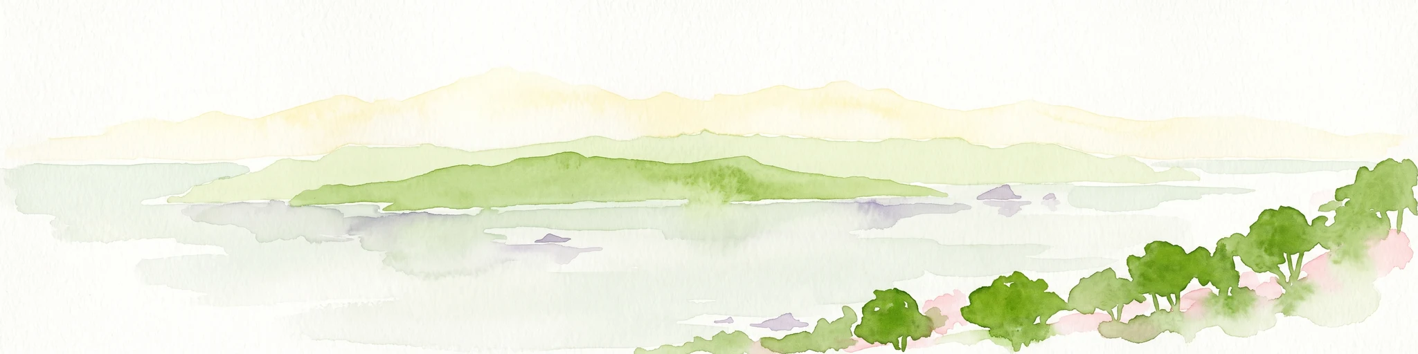
A soft watercolor illustration showing an island with green rolling hills rising from the water, with a line of trees along the shoreline in the foreground.
Nature reserveSouthland Region
About 817 km away#6 closest

Northeast

Codfish Island / Whenua Hou: A Protected Nature Reserve in the Southland Region

Coastal terrain and island geography in New Zealand

Located off the coast of Stewart Island, Codfish Island / Whenua Hou functions as an essential nature reserve. The island features moderate terrain, temperate coastal forests, and a protected landscape that preserves rare species and seabird colonies. Its geography is defined by a remote maritime setting, making it a globally significant site for predator-free wildlife conservation in the Tasman Sea.

Area
14 km²
Established
1987
Relief
Upland
Climate
Temperate
National parkSouthland Region
861 km away#7 closest

North

Fiordland National Park: A Protected Landscape of Glacier-Carved Fiords and Alpine Wilderness

Explore its vast boundaries and unique temperate rainforest.

Fiordland National Park, located in the Southland Region of New Zealand, is a testament to dramatic geological forces, featuring fifteen major fiords like Milford Sound, whose Mitre Peak rises majestically from the water. This protected national park encompasses an immense wilderness of alpine terrain, ancient beech forests, and numerous waterfalls, fueled by exceptional rainfall. Its inclusion in the Te Wāhipounamu World Heritage Area underscores its global significance for biodiversity and natural landscape preservation.

Area
12,607 km²
Established
1952
IUCN
II
Visitors
500K annual
Marine protected areaFiordland
921 km away#8 closest

North

Moana Uta (Wet Jacket Arm) Marine Reserve: Mapped Protected Landscapes in Fiordland

Exploring unique fiord stratification and dense marine coral habitats

Located in the remote southwestern reaches of New Zealand, Moana Uta (Wet Jacket Arm) Marine Reserve preserves a complete fiord system. The area is notable for its exceptional physical conditions, including high black coral density and a distinct freshwater surface layer that sustains diverse underwater communities across steep rock walls, reefs, and deep basins.

Area
20.07 km²
Established
2005
Relief
Lowland
Climate
Temperate
MoriAtlas Explorer

Explore the Geographic Boundaries of Macquarie Island Marine Park

Deepen your knowledge of the Macquarie Island Marine Park by browsing its mapped seafloor features, ecological zones, and subantarctic landscape context. MoriAtlas offers a structured view of this significant Australian protected area to support your understanding of remote ocean geography and conservation habitats.