
Mori Atlas logo
Wildlife reserveÁrea de protección de flora y fauna Maderas del Carmen

Mapping the rugged Sierra del Carmen and Sierra el Jardín mountain systems in northern Coahuila

Área de protección de flora y fauna Maderas del Carmen: A Chihuahuan Desert Mountain Landscape

Located in northern Coahuila, the Área de protección de flora y fauna Maderas del Carmen serves as a critical protected landscape within the broader Chihuahuan Desert. This wildlife reserve encompasses the dramatic limestone massifs of the Sierra del Carmen and Sierra el Jardín, rising from arid desert basins to complex forested mountain elevations. The protected area functions as a significant binational conservation counterpart to landscapes across the border, preserving diverse terrain ranging from deep canyons to open desert flats.

desert mountain landscapeChihuahuan DesertSierra del CarmenSierra el Jardínprotected areaflora and fauna protection area
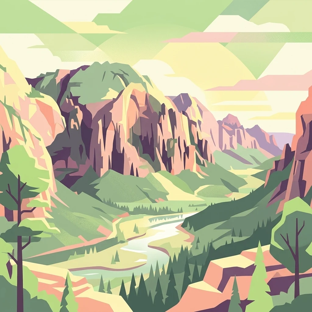
A graphic illustration depicting a valley carved between steep rocky cliffs, with a river flowing through the center and evergreen trees in the foreground.

Área de protección de flora y fauna Maderas del Carmen

Wildlife reserve

Park overview

Structured park overview, official facts, and landscape profile for Maderas del Carmen Flora and Fauna Protection Area

Maderas del Carmen Flora and Fauna Protection Area park facts, protected area profile, and essential visitor context

Review the core facts for Maderas del Carmen Flora and Fauna Protection Area, including designation, size, terrain, visitor scale, habitats, and operating context in one park-focused overview.

About Maderas del Carmen Flora and Fauna Protection Area

Maderas del Carmen Flora and Fauna Protection Area is a substantial natural reserve in northern Coahuila, Mexico, situated in a region long valued for its rugged beauty and ecological contrast. The protected area covers the heart of the Maderas del Carmen landscape, including the prominent Sierra del Carmen and the smaller Sierra el Jardín, extending across parts of three municipalities that border the United States.

The reserve's defining feature is the contrast between the surrounding Chihuahuan Desert plains and the elevated limestone terrain of the Sierra del Carmen. Within the protected boundary, arid foothills and broad desert basins give way to rugged ridges, sheltered canyons, and higher-elevation woodland, producing an unusual concentration of habitat diversity for a protected area of this desert type. This gradient is at the center of the park's ecological importance, supporting a wide spectrum of plant and animal communities in a relatively compact geographic setting.

At a broader scale, Maderas del Carmen sits within a wider conservation narrative for the Chihuahuan Desert ecoregion, and it functions as a critical southern anchor for cross-border desert mountain conservation alongside Santa Elena Canyon on the Mexican side and Big Bend National Park on the U.S. side. The protected area's inclusion of ecological transition zones, its large continuous footprint, and its position on a major international boundary give it both national and binational conservation relevance.

Quick facts and research context for Maderas del Carmen Flora and Fauna Protection Area

Maderas del Carmen is a federal Flora and Fauna Protection Area (Área de protección de flora y fauna) located in northern Coahuila, Mexico, covering roughly 208,381 hectares across the Múzquiz, Acuña, and Ocampo municipalities. It lies within the Chihuahuan Desert ecoregion, with its core formed by the Sierra del Carmen and Sierra el Jardín mountain ranges adjacent to the U.S. border across from Big Bend National Park in Texas. The protected area was decreed on November 7, 1994, together with the Santa Elena Canyon protected area, as part of a strategy to preserve northern desert and mountain ecosystems, support research, and enable sustainable resource use.

Protection and recognition

Documented terrestrial protection scope, transboundary status, and recognition history

Área de protección de flora y fauna Maderas del Carmen Protection Status

Terrestrial protection status, management scope, and transboundary status for Área de protección de flora y fauna Maderas del Carmen appear alongside verified recognition sources. Structured preservation records clarify the conservation framework governing this protected landscape within global inventories.

Protection details

Protection scope
Terrestrial
Transboundary protection
Yes
Park context

Deeper park guide and search-rich context for Maderas del Carmen Flora and Fauna Protection Area

Maderas del Carmen Flora and Fauna Protection Area history, landscape, wildlife, and travel context

Explore Maderas del Carmen Flora and Fauna Protection Area through its history, landscape character, ecosystems, wildlife, conservation priorities, cultural context, and seasonal travel timing in a structured park guide built for atlas discovery and search intent.

Why Maderas del Carmen Flora and Fauna Protection Area stands out

Maderas del Carmen is best known for its dramatic Chihuahuan Desert mountain terrain, where the Sierra del Carmen and Sierra el Jardín rise abruptly above arid lowlands to create a striking gradient between desert flats, deep canyons, and cooler forested uplands. It is also recognized as a major binational conservation counterpart to Big Bend National Park across the Rio Grande, together forming one of the most significant cross-border desert mountain complexes in North America.
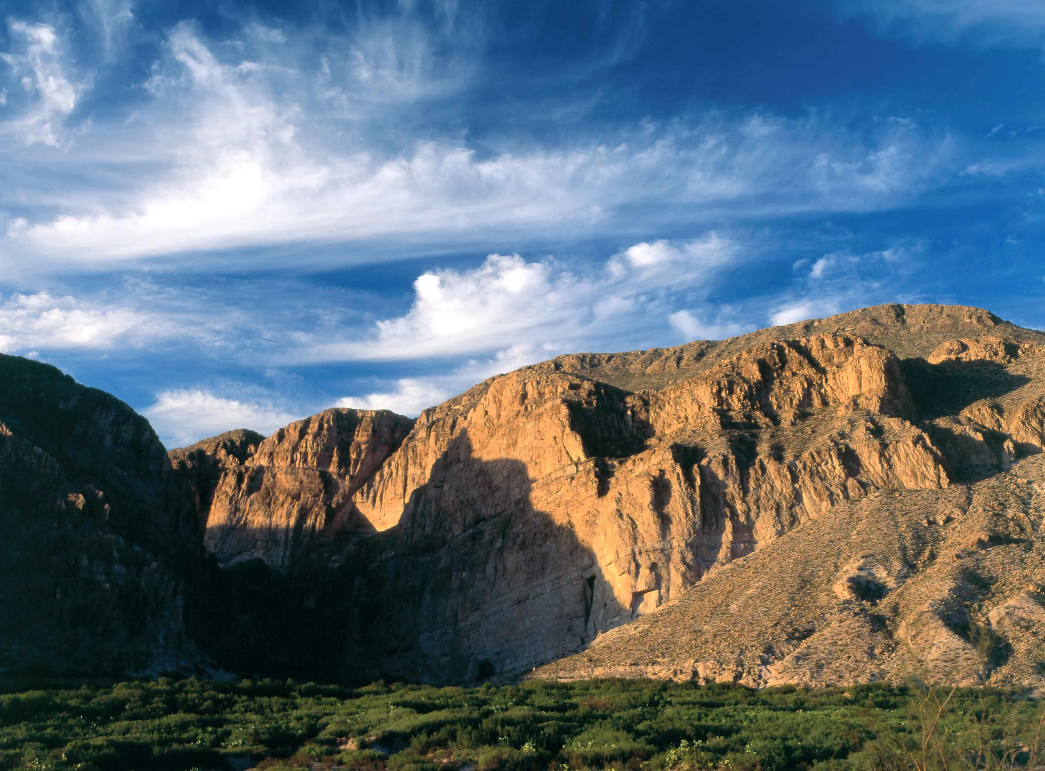
A wide landscape view of dramatic, sunlit rocky desert mountains under a blue sky with wispy clouds, with a foreground of green desert shrubbery.
The rugged mountains surrounding the area of Boquillas del Carmen.

Maderas del Carmen Flora and Fauna Protection Area history and protected-area timeline

Efforts to protect the Maderas del Carmen landscape date back to the mid-twentieth century, when the creation of Big Bend National Park in Texas in 1935 prompted early interest in conserving the opposite, Mexican side of the border. For decades, that ambition was blocked by political and economic interests on both sides of the Rio Grande, leaving the Sierra del Carmen and Santa Elena Canyon without formal protection. The situation changed in the 1990s, when renewed interest in establishing a transboundary protected area opened the way for official Mexican designation.

On November 7, 1994, President Carlos Salinas de Gortari decreed both Maderas del Carmen and the Santa Elena Canyon area as Flora and Fauna Protection Areas, framing the reserves as instruments to preserve ecosystems, promote the sustainable use of natural resources, and encourage scientific research. Although the shared protection effort with Big Bend created the conceptual framework of a binational conservation complex, the reserves on each side of the border are managed under their own national plans, and crossing the Rio Grande between them is not permitted. The 1994 decree remains the foundational event in the protected area's institutional history.

Maderas del Carmen Flora and Fauna Protection Area landscape and geographic character

The landscape of Maderas del Carmen is defined by the dramatic transition from the arid Chihuahuan Desert lowlands to the steep limestone mass of the Sierra del Carmen and the adjacent Sierra el Jardín. Desert basins and gently sloping bajadas occupy much of the reserve's lower elevations, characterized by sparse vegetation and open vistas, while the interior rises into rugged ridges, rocky outcrops, and deeply cut drainages.

The Sierra del Carmen is the dominant landform, presenting long ridgelines and cliff faces that catch the light of the desert sky and shelter narrow canyons within. The Sierra el Jardín adds further topographic variety to the protected area, contributing additional elevation, slopes, and sheltered valleys. Together, the two ranges create a multi-layered scenery of desert flats, canyon country, and mountain terrain, all unified by the characteristic exposures of limestone rock that mark southeast Coahuila's border country with Texas.

Maderas del Carmen Flora and Fauna Protection Area ecosystems, habitats, and plant life

Ecologically, Maderas del Carmen sits within the Chihuahuan Desert ecoregion, but its mountainous character produces a habitat mosaic far more varied than the surrounding plains alone. Lower elevations carry classic Chihuahuan Desert vegetation, with arid scrub and drought-adapted plant communities spread across broad terrain, while higher slopes shift toward more mesic woodland communities capable of holding moisture in sheltered canyons and north-facing exposures.

The reserve is documented as hosting a rich biological inventory, with more than 1,400 species of plants and animals recorded within its boundaries. Among these species, a significant number fall within Mexican risk categories under the NOM-059 standard, reflecting their conservation status, while dozens of non-native species have also been recorded, illustrating the management challenges typical of large protected desert-mountain landscapes in northern Mexico. The combination of desert, foothill, and montane habitats is the foundation of this ecological richness.

Maderas del Carmen Flora and Fauna Protection Area wildlife and species highlights

The wildlife profile of Maderas del Carmen mirrors the diversity of its habitats, drawing on species typical of the Chihuahuan Desert, the desert mountains of northern Coahuila, and the canyons and woodlands that connect the two. The protected area supports mammals, reptiles, birds, and plants characteristic of this binational desert mountain region, with portions of its fauna falling under Mexican conservation categories that underline the area's role in regional species protection.

In addition to its native biodiversity, the reserve harbors a documented non-native component, a common feature of large protected landscapes embedded in working desert regions. This mix of native and introduced species, set against the backdrop of transboundary conservation with Big Bend, makes Maderas del Carmen a significant site for ongoing wildlife observation and research within northern Mexico.

Maderas del Carmen Flora and Fauna Protection Area conservation status and protection priorities

Maderas del Carmen carries clear significance for the conservation of northern Chihuahuan Desert ecosystems. The protected area was established specifically to preserve ecological systems, enable sustainable resource management, and provide a setting for scientific research across the Sierra del Carmen and Sierra el Jardín. Its large footprint and habitat diversity give it an unusually strong conservation profile for a desert-based reserve.

The area's conservation role is also deeply binational. Together with the Santa Elena Canyon protection area and Big Bend National Park in Texas, Maderas del Carmen forms the Mexican anchor of a broader cross-border effort to protect the desert mountain ecosystems of the Rio Grande borderlands. Although international cooperation remains constrained by the fact that each country manages its side under its own plan and Rio Grande crossings are not permitted, the reserve's strategic position continues to support long-term regional conservation objectives.

Top sights and standout views in Maderas del Carmen Flora and Fauna Protection Area

Maderas del Carmen stands out for the scale of its Chihuahuan Desert mountain landscape, the gradient between arid lowlands and elevated wooded terrain, and its role as a Mexican counterpart to Big Bend National Park. The reserve's declaration alongside Santa Elena Canyon in 1994 underlines its significance as one of the principal protected desert mountain areas on Mexico's northern frontier, and its documented richness of more than 1,400 plant and animal species reinforces its scientific and ecological value.

Monthly climate preview

Long-term representative temperature and precipitation rhythm by month

Área de protección de flora y fauna Maderas del Carmen Climate Normals

Representative coordinates record measured annual temperature swings and monthly precipitation patterns across the protected terrain. Complete twelve-month claddings expose full baseline climate normals for deeper geographic evaluation.
Annual mean18 °C
8 °C26 °C
Jan
Feb11°
Mar15°
Apr19°
May23°
Jun26°
Jul26°
Aug25°
Sep22°
Oct18°
Nov13°
Dec
Warmest month
June

25.6 °C

Coolest month
January

8.3 °C

Wettest month
September

1.8 mm/day

Driest month
February

0.4 mm/day

Park location guide

Geography guide, regional context, and park location map for Maderas del Carmen Flora and Fauna Protection Area

Maderas del Carmen Flora and Fauna Protection Area park geography, regions, and map view in Mexico

Understand where Maderas del Carmen Flora and Fauna Protection Area sits in Mexico through a broader geographic reading of the surrounding landscape, nearby location context, and its mapped position within the national park landscape.

How Maderas del Carmen Flora and Fauna Protection Area fits into Mexico

Mexico, officially the United Mexican States, is a country in North America spanning the Sierra Madre mountain ranges, coastal plains, and tropical regions. It borders the United States to the north, Guatemala and Belize to the southeast, and has coastlines along the Pacific Ocean, Gulf of Mexico, and Caribbean Sea. With a population exceeding 130 million, Mexico is home to one of the world's most significant concentrations of Indigenous languages alongside Spanish.

Wider geography shaping Maderas del Carmen Flora and Fauna Protection Area in Mexico

Mexico occupies a land area of 1,972,550 km2, making it the thirteenth-largest country in the world. The terrain is highly diverse, featuring the Sierra Madre Occidental and Sierra Madre Oriental mountain ranges, the Mexican Plateau, coastal lowlands along the Pacific and Gulf/Caribbean margins, and the Yucatan Peninsula. The country spans multiple climate zones from desert in the north to tropical rainforest in the south.

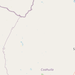
Map view of Maderas del Carmen Flora and Fauna Protection Area

Use this park location map to pinpoint Maderas del Carmen Flora and Fauna Protection Area in Mexico, understand its exact geographic position, and read its mapped placement within the surrounding landscape more clearly.

Pigeon | © OpenStreetMap contributors

Location context for Maderas del Carmen Flora and Fauna Protection Area

Coahuila

Visual exploration of Chihuahuan Desert mountain terrain, limestone canyons, and upland habitats

Área de protección de flora y fauna Maderas del Carmen Landscape Photos and Scenery

Photographic records reveal the dramatic elevation gradient of Área de protección de flora y fauna Maderas del Carmen, where arid lowlands meet rugged limestone ridges. Visual documentation provides essential context for understanding the varied terrain and protected habitats of this northern Mexican reserve.

A wide landscape view of dramatic, sunlit rocky desert mountains under a blue sky with wispy clouds, with a foreground of green desert shrubbery.

Park atlas

Compare surrounding desert mountain landscapes and regional protected areas

Explore Other Parks Near Área de protección de flora y fauna Maderas del Carmen

Browse nearby national parks and protected areas sharing the rugged Chihuahuan Desert terrain of northern Coahuila. Extending the search beyond Área de protección de flora y fauna Maderas del Carmen reveals connected conservation corridors and regional ecosystems.
National parkBrewster County
About 21 km away#1 closest

West

Big Bend National Park: National Park, Mapped Protected Landscape, and Regional Geography

Explore Brewster County's protected natural terrain.

Big Bend National Park is a prominent national park defined by its protected landscape and geographic features within Brewster County. This destination provides users with detailed atlas-style information, focusing on the park's mapped boundaries and its contribution to the understanding of regional natural geography. Delve into the specific context of this protected area to enhance your geographic discovery.

Area
3,242.19 km²
Established
1944
IUCN
II
Visitors
568.1K annual
Wildlife reserveCoahuila
About 50 km away#2 closest

Southwest

Ocampo Flora and Fauna Protection Area: Mapping Desert and Riverine Geography in Coahuila

A vital transboundary wildlife reserve in northern Mexico

Ocampo Flora and Fauna Protection Area provides a massive, contiguous block of protected wilderness characterized by rugged mountain foothills and desert flats. As a cornerstone of the El Carmen Big Bend Complex, the reserve offers a unique look at how river-cut canyons and arid scrublands support diverse life forms in the northern Chihuahuan Desert of Coahuila.

Area
3,442.38 km²
Established
2009
IUCN
VI
Relief
Mixed relief
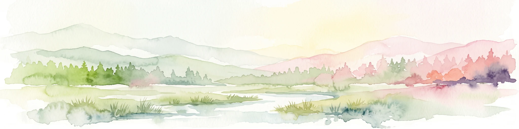
A horizontal watercolor illustration depicting soft, rolling hills, a small stream in the foreground, and pine forests, using a muted pastel palette.
Wildlife reserveChihuahua
About 116 km away#3 closest

West

Área de Protección de Flora y Fauna Cañón de Santa Elena Wildlife Reserve Map and Geography

Chihuahuan Desert conservation area in Chihuahua, Mexico

This wildlife reserve protects a vast expanse of the Chihuahuan Desert along the Mexico-United States border. The landscape is defined by deep river-cut canyons, volcanic uplifts, and broad valleys. Discover the geological structure and ecological boundaries of this protected area, which mirrors the conservation efforts of neighboring regions to maintain a vital desert ecosystem.

Area
2,772.09 km²
Established
1994
Relief
Mountain
Climate
Arid
Protected landscapeTexas
About 161 km away#4 closest

East

Amistad National Recreation Area: Mapped Protected Landscapes in Texas

Desert reservoir geography and canyon ecosystems

Amistad National Recreation Area represents a distinct protected landscape located in Val Verde County, Texas. Centered on the expansive Amistad Reservoir at the United States-Mexico border, the area features rugged limestone canyons and extensive water-based terrain where the Rio Grande, Devils, and Pecos rivers meet. The site offers deep insight into desert canyon geography and historic rock art distributions.

Area
237 km²
Established
1965
Visitors
912.3K annual
Relief
Upland
Protected areaCoahuila
About 206 km away#5 closest

Southeast

Cuenca Alimentadora del Distrito Nacional de Riego 004 Don Martín Protected Area Geography

A vast watershed and mountain corridor in central Coahuila

This expansive protected area in northern Mexico functions as the primary catchment for the Don Martín irrigation district. The terrain ranges from dry shrubland and grasslands in the Coahuila interior to the rugged, forested heights of the Sierra Madre Oriental. It remains a key case study in river conservation and the complex interplay between arid ecosystems and mountainous watershed systems.

Area
15,193.8 km²
Established
1949
IUCN
VI
Relief
Mountain
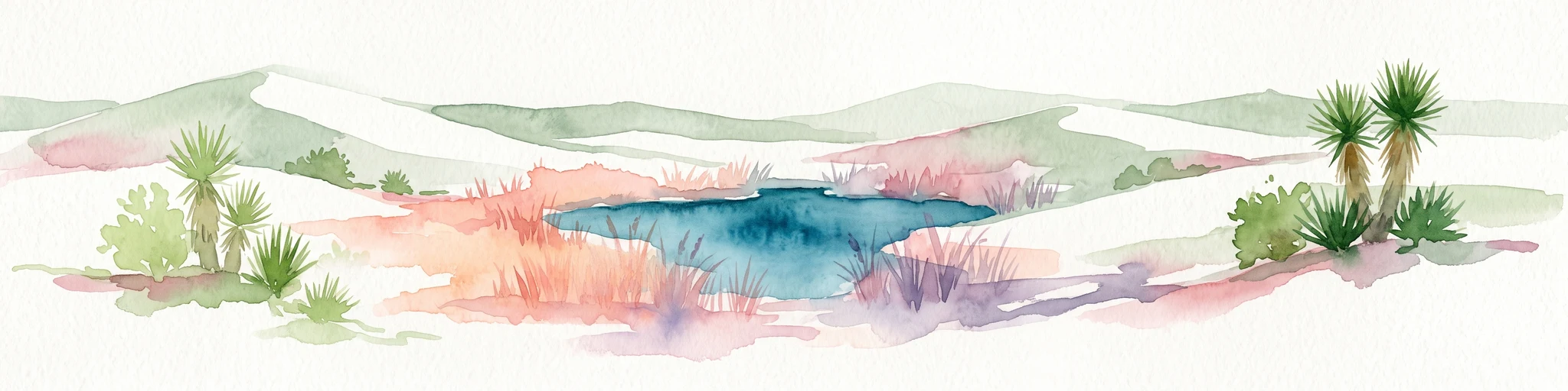
Watercolor painting of a desert landscape with white gypsum dunes, a central turquoise blue pool, and yucca plants.
Wildlife reserveCoahuila
About 255 km away#6 closest

South

Área de Protección de Flora y Fauna Cuatrociénegas: Protected Landscape and Atlas Map

Desert wetlands and gypsum dune geography in Coahuila, Mexico

This wildlife reserve in Coahuila represents a globally significant desert wetland complex. Featuring hundreds of spring-fed pozas and the second-largest gypsum dune field in the Americas, the reserve offers a unique look at isolated ecosystems and specialized biodiversity within the Chihuahuan Desert.

Area
843.47 km²
Established
1994
Relief
Lowland
Climate
Arid
National parkCulberson County
About 362 km away#7 closest

Northwest

Guadalupe Mountains National Park: Mapped Boundaries and Protected Landscape Identity

Explore the geography and terrain of this Texas national park.

Guadalupe Mountains National Park is a key protected area within Culberson County, West Texas. This national park offers a distinct geographic focus, allowing for detailed exploration of its mapped boundaries and the unique natural landscapes that define its protected status. Understanding its place within the Trans-Pecos region provides valuable context for regional geography and atlas-based discovery of conservation lands in Texas.

Area
349.51 km²
Established
1972
IUCN
II
Visitors
206.4K annual
National parkEddy County
About 370 km away#8 closest

Northwest

Carlsbad Caverns National Park: Detailed Protected Area and Landscape Exploration

View mapped terrain and geographic context for this Eddy County national park.

Gain a deep understanding of Carlsbad Caverns National Park through its specific geographic features and protected landscape identity. This entry provides foundational atlas-level information on the park's mapped boundaries and its role as a designated national park within the broader regional geography of Eddy County. It is designed to offer precise context for users focused on understanding the specific natural terrain and conservation geography of this important protected area, facilitating structured discovery.

Area
189.26 km²
Established
1930
IUCN
II
Visitors
410.8K annual

Common questions about visiting, size, designation, and location context for Maderas del Carmen Flora and Fauna Protection Area

Maderas del Carmen Flora and Fauna Protection Area FAQs for park facts, access, geography, and protected area context

Find quick answers about Maderas del Carmen Flora and Fauna Protection Area, including protected-area facts, park geography, trail and visitor context, and how the park fits into its surrounding country and regional landscape.
MoriAtlas Explorer

Continue Your Protected Areas Search Across the Global Atlas

Deepen your exploration by continuing the structured search for national parks and protected areas worldwide. Utilize the comprehensive filtering capabilities to compare different conservation landscapes and refine your understanding of global park geography. Discover more about the distribution and characteristics of protected natural areas.

Global natural geography