Mori Atlas logo
Nature reserveMärzenbecherwald

Analyzing the ecological mosaic of alder swamp forest, calcareous fens, and spring seeps

Märzenbecherwald Nature Reserve: A Protected Wetland Landscape in Nordrhein-Westfalen, Germany

(Naturschutzgebiet Märzenbecherwald)

The Märzenbecherwald stands as a concentrated nature reserve in the Warendorf district of Nordrhein-Westfalen, Germany. This protected area preserves a finely balanced wetland mosaic of alder swamp forest, wet grassland, and spring seeps. By safeguarding these rare habitats within the intensive Münsterland cultural landscape, the reserve functions as a critical refuge for lime-influenced plant communities and moisture-dependent ecosystems.

nature reservewetland forestalder swamp forestcalcareous fenspring seepsspring wildflowers

Märzenbecherwald

Nature reserve

Park overview

Structured park overview, official facts, and landscape profile for Märzenbecherwald Nature Reserve

Märzenbecherwald Nature Reserve park facts, protected area profile, and essential visitor context

Review the core facts for Märzenbecherwald Nature Reserve, including designation, size, terrain, visitor scale, habitats, and operating context in one park-focused overview.

About Märzenbecherwald Nature Reserve

The Märzenbecherwald is a small but ecologically specialized nature reserve in the Warendorf district of North Rhine-Westphalia that protects a fragment of alder-dominated wetland forest and associated wet grassland. Although it covers only about 1.6 hectares, the reserve holds a concentration of habitat types, including Erlenbruch, or alder swamp forest, lime-influenced Flachmoore, calcareous fens, and small Quellaustritte, or spring seepage points, that together support a distinctive community of moisture-loving plants and animals.

The site was placed under protection in 1995, with the official justification explicitly stating that designation was needed to preserve the alder swamp forest and the wet grassland with calcareous fens and spring seepages, along with the plant and animal communities living there, several of which are considered endangered. Protection was also granted for scientific and regional-landscape reasons, because of the rarity and special character of the area, and to support restoration, development, and ongoing care of the swamp forest and its associated wet habitats.

Geographically, Märzenbecherwald lies east of Sünninghausen, which is part of the town of Oelde, and the small Forthbach stream runs close by to the south. The reserve sits within the otherwise heavily cultivated cultural landscape of the Münsterland, and its small footprint makes it an unusually concentrated example of the kind of calcareous wetland habitat that has largely disappeared from surrounding farmland. Its combination of permanent groundwater discharge, lime-influenced soils, and old-growth woodland character gives it botanical and conservation significance well beyond its size.

Quick facts and research context for Märzenbecherwald Nature Reserve

Märzenbecherwald is a nature reserve, a Naturschutzgebiet, in North Rhine-Westphalia administered under IUCN Category IV as a Habitat and Species Management Area. The protected area covers approximately 1.6 hectares and was formally established in 1995. It lies in the Warendorf district east of Sünninghausen, part of the town of Oelde, and belongs environmentally to the broader Münsterland region of western Germany.

The site is defined by wet woodland and calcareous spring fen habitat, with a mosaic of alder swamp forest, permanently damp grassland, and small groundwater discharge points. Its protected status is tied to the conservation of rare plant communities, the preservation of the Märzenbecher wildflower population, and the long-term maintenance of the wetland's lime-rich hydrological conditions.

Protection and recognition

Documented terrestrial protection scope, management records, and conservation listings

Märzenbecherwald Protection Status and International Recognition Data

Märzenbecherwald preserves a documented terrestrial protection scope within the global protected area network. Official records outline administrative designation details and international recognition status for this conservation landscape.

Protection details

Protection scope
Terrestrial
Transboundary protection
No
WDPA ID
164534
Park context

Deeper park guide and search-rich context for Märzenbecherwald Nature Reserve

Märzenbecherwald Nature Reserve history, landscape, wildlife, and travel context

Explore Märzenbecherwald Nature Reserve through its history, landscape character, ecosystems, wildlife, conservation priorities, cultural context, and seasonal travel timing in a structured park guide built for atlas discovery and search intent.

Why Märzenbecherwald Nature Reserve stands out

Märzenbecherwald is best known for its seasonal display of spring snowflakes, the Frühlingsknotenblume known locally as the Märzenbecher, which flower in great numbers across the damp forest floor. The reserve is essentially a single-name signature site in the region: when people in the Warendorf district mention the Märzenbecherwald, they are usually thinking of this very concentration of early spring blooms. Beyond the flower itself, the reserve is recognized among regional conservationists for its compact but well-developed alder swamp forest, its calcareous fen seeps, and its role as a refuge for moisture-dependent plant communities. It is also noted as one of the smallest formally protected nature reserves in the district, which gives the site an outsized ecological profile relative to its surface area.
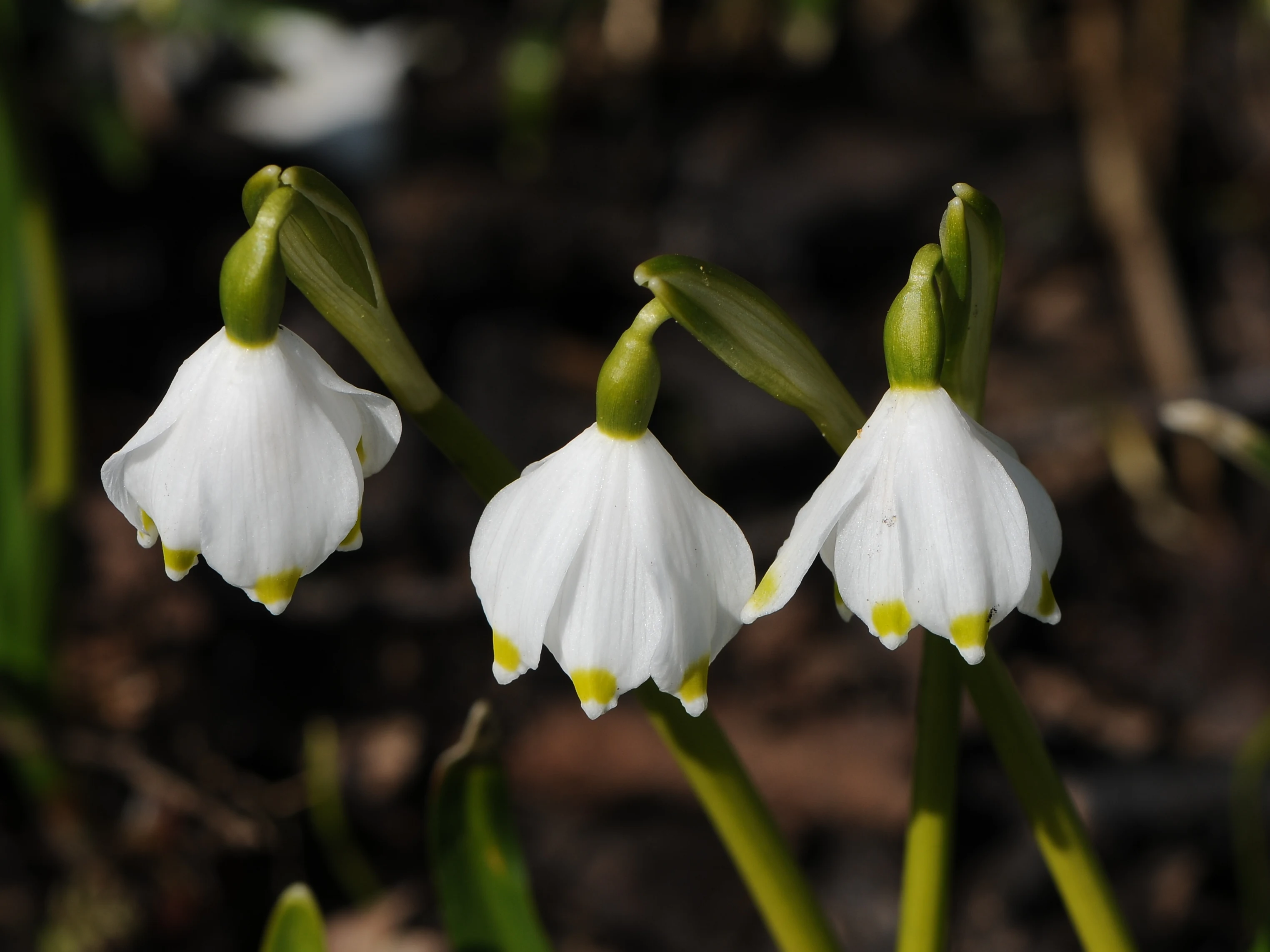
Close-up view of three white spring snowflake flowers, Leucojum vernum, with green-tipped petals hanging downward against a dark, out-of-focus background.
Three spring snowflake blossoms in bloom, the characteristic flowers of the Märzenbecherwald.

Märzenbecherwald Nature Reserve history and protected-area timeline

Märzenbecherwald was formally designated as a nature reserve in 1995, marking the moment when authorities in North Rhine-Westphalia recognized the ecological and landscape value of this small wetland fragment. The 1995 designation established a clear framework for managing the alder swamp forest, wet grassland, calcareous fens, and spring seepages in a way that would protect both the physical structure of the habitats and the rare plant and animal communities they support.

The official rationale recorded at the time of designation indicates that protection was pursued not only for the site's intrinsic rarity and beauty, but also for scientific reasons and out of regional-landscape interest. The same rationale explicitly recognized the need to actively restore and develop the swamp forest and the associated wet meadows, signaling that the designation came with a restoration mandate, not just a passive preservation order.

In the years that followed, the reserve has continued to be managed and monitored as a regionally important calcareous wetland sanctuary. Local conservation organizations have been involved in habitat improvement measures, including the creation of new amphibian breeding waters, reflecting ongoing interest in strengthening the reserve's value for moisture-dependent species beyond its small core area.

Märzenbecherwald Nature Reserve landscape and geographic character

The landscape of Märzenbecherwald is defined by the interplay of permanently damp woodland and open wet ground. The alder swamp forest at the heart of the reserve produces the kind of mosaic environment typical of calcareous lowland wetlands in western Germany: a canopy of alder trees, a shaded understory, a saturated leaf-litter floor, and transitions into small open flushes and seepage areas where groundwater reaches the surface.

Topographically the reserve is low and flat, shaped by groundwater seepage rather than dramatic relief. Just to the south flows the Forthbach, a small stream that reinforces the moist character of the broader area and connects this fragment to the regional hydrological network. Surrounding the reserve are the fields, meadows, and farmlands of the Münsterland cultural landscape, which makes the contrast between the wet woodland interior and the dry agricultural exterior unusually sharp.

Within the small reserve, the variety of microhabitats is striking. There are patches of true Bruchwald, or swamp woodland, with alder roots anchored in waterlogged peat-like soils, alongside open spring-fed flushes with calcareous deposits and damp grassland communities that depend on continuous groundwater supply. This compressed landscape is what gives Märzenbecherwald its concentrated botanical and ecological character.

Märzenbecherwald Nature Reserve ecosystems, habitats, and plant life

The ecological identity of Märzenbecherwald is built around a calcareous wetland complex. The reserve protects an alder-dominated Erlenbruchwald, a swamp forest whose roots and litter create conditions suitable for shade-tolerant, moisture-loving plants. Interspersed with this woodland are areas of wet grassland and calcareous Flachmoore, or flat fens, conditioned by the steady emergence of groundwater at the surface.

The combination of lime-rich soils, permanent moisture, and the typical microclimate of a small enclosed forest fragment supports a specialized plant community. The Frühlingsknotenblume (Leucojum vernum), the spring snowflake that gives the reserve its name, is a signature species of exactly this kind of habitat across central Europe, and its strong presence here is one of the defining ecological signals of the site.

A small but important feature of the reserve is the presence of Quellaustritte, or natural spring discharge points, where groundwater emerges at the surface. These springs maintain the lime-influenced chemistry of the soils, sustain the fen communities, and create the cool, damp conditions required by many of the site-associated species. Together, the swamp forest, the wet meadows, and the spring seepages form a single interconnected ecological system, and it is the integrity of this system that the protected status is designed to maintain.

Märzenbecherwald Nature Reserve wildlife and species highlights

The wildlife profile of Märzenbecherwald is closely tied to its wetland character. The permanently damp woodland, spring-fed fens, and adjacent wet grassland create habitat for moisture-dependent species, including amphibians that depend on standing or slow-moving water for their breeding cycle. Local conservation work has emphasized the creation and improvement of small open water bodies within or close to the reserve specifically to strengthen habitat for these species.

Beyond amphibians, the mosaic of woodland shade, open wet flushes, and riparian edges along the nearby Forthbach supports a community of invertebrates, small mammals, and birds typical of structurally diverse calcareous wetlands. The undisturbed soil moisture and the presence of leaf-litter habitat contribute to a rich invertebrate fauna that in turn feeds higher trophic levels.

Although the reserve is too small to host the larger mammal populations of more extensive forests, the continuity of wet habitat combined with the surrounding agricultural matrix gives it value as a stepping-stone and refuge site within the broader Münsterland ecological network. Its conservation significance is therefore often described in terms of the small, specialized fauna of calcareous wet woodland rather than charismatic large mammals.

Märzenbecherwald Nature Reserve conservation status and protection priorities

Märzenbecherwald carries formal nature reserve status under North Rhine-Westphalian law as a Naturschutzgebiet, classified internationally under IUCN Category IV as a Habitat and Species Management Area. This designation reflects the fact that the reserve is not only a passive protection zone but a site where active management is expected to maintain and restore key habitat structures.

The conservation rationale recorded at the time of designation explicitly tied protection to the preservation of the alder swamp forest and its associated wet grassland, calcareous fens, and spring seepages, with particular attention to the endangered plant species associated with these conditions. The official reasoning also cited the rarity, special character, and outstanding beauty of the area, along with scientific and regional-landscape interest, as justification for protection.

Beyond preservation, the reserve has a restoration dimension. The designation text called for continued development, care, and promotion of the swamp forest and the surrounding wet habitats, and subsequent conservation work has included habitat-improving measures and the creation of new amphibian waters. This combination of strict habitat protection and active management makes Märzenbecherwald a small but targeted conservation focus in the Warendorf district.

Märzenbecherwald Nature Reserve cultural meaning and human context

Märzenbecherwald reflects the deep-rooted regional attachment to seasonal wildflower landmarks in the Münsterland. The spring snowflake, common across parts of central Europe, has acquired a strong local identity through the dialect name Märzenbecher, and the woodland where it flourishes has become a seasonal point of interest for residents of Oelde and the wider Warendorf district.

The reserve sits in a landscape shaped by long agricultural use, with the small wetland fragment representing the kind of habitat that has been heavily reduced across the surrounding farmland. Its protection reflects a broader German conservation tradition of formally recognizing even very small but ecologically distinctive habitat patches as protected areas, especially where they preserve plants or communities that have declined in the wider countryside.

Local media and conservation organizations have periodically highlighted the reserve, both for its spring flowering display and for conservation projects like new amphibian waters, embedding the site in regional awareness as a small but well-loved natural landmark in otherwise intensively used countryside.

Top sights and standout views in Märzenbecherwald Nature Reserve

Märzenbecherwald offers a focused experience of calcareous wetland habitat in a very small area. Among the most memorable highlights are the early-spring carpets of Märzenbecher, the spring snowflake, that give the reserve its name, and the unusual juxtaposition of dense alder swamp forest, wet meadows, and lime-influenced fens within a single compact site. The clear seasonal rhythm of the woodland, the visible spring seeps that maintain its character, and the quiet proximity of the Forthbach stream all help define the visitor impression.

As one of the smallest nature reserves in the Warendorf district, it stands out as an example of how a protected area of less than two hectares can hold concentrated ecological and cultural value, combining rare plant communities, traditional regional interest, and active conservation management in one place.

Best time to visit Märzenbecherwald Nature Reserve

The most characteristic time to experience Märzenbecherwald is early spring, when the Märzenbecher, or spring snowflake, blooms across the damp forest floor and lends the woodland its distinctive visual signature. In the Münsterland climate this typically means late February through March, with cooler temperatures prolonging the display.

Later spring and early summer also offer quieter naturalist interest, when the wet grassland and fern communities are fully developed and amphibian activity around the reserve's water features is at its peak. Autumn generally brings a more muted but still atmospheric visit, with the alder woodland showing seasonal colour. Conditions underfoot are likely to be wet for much of the year because of the swamp forest and spring seepages.

Monthly climate preview

Monthly averages and long-term weather patterns recorded at representative coordinates

Märzenbecherwald Climate Normals, Long-Term Temperature and Precipitation Rhythms

Märzenbecherwald exhibits a measured annual cycle of temperature variation and precipitation distribution spanning twelve recorded months. Analyzing these long-term climate normals provides essential baseline context for the protected area without relying on short-term forecasts.
Annual mean9 °C
1 °C18 °C
Jan
Feb
Mar
Apr
May13°
Jun16°
Jul18°
Aug18°
Sep14°
Oct10°
Nov
Dec
Warmest month
July

18.4 °C

Coolest month
January

0.9 °C

Wettest month
December

2.6 mm/day

Driest month
April

1.6 mm/day

Park location guide

Geography guide, regional context, and park location map for Märzenbecherwald Nature Reserve

Märzenbecherwald Nature Reserve park geography, regions, and map view in Germany

Understand where Märzenbecherwald Nature Reserve sits in Germany through a broader geographic reading of the surrounding landscape, nearby location context, and its mapped position within the national park landscape.

How Märzenbecherwald Nature Reserve fits into Germany

Germany is a federal republic in Western and Central Europe with a population of over 83 million across sixteen constituent states. It is Europe's largest economy by nominal GDP and a major global exporter and importer. The capital is Berlin, and the country borders Denmark, Poland, Czech Republic, Austria, Switzerland, France, Luxembourg, Belgium, and the Netherlands.

Wider geography shaping Märzenbecherwald Nature Reserve in Germany

Germany is located in Western and Central Europe, spanning 357,022 km². It borders Denmark to the north, Poland and the Czech Republic to the east, Austria and Switzerland to the south, and France, Luxembourg, Belgium, and the Netherlands to the west. The country has coastlines on the Baltic Sea and North Sea to the north, with the Alps located in the southern region.

Map view of Märzenbecherwald Nature Reserve

Use this park location map to pinpoint Märzenbecherwald Nature Reserve in Germany, understand its exact geographic position, and read its mapped placement within the surrounding landscape more clearly.

Pigeon | © OpenStreetMap contributors

Location context for Märzenbecherwald Nature Reserve

Nordrhein-Westfalen

Explore detailed imagery of alder swamp forests, spring snowflakes, and calcareous wetland habitats.

Märzenbecherwald Photos and Landscape Scenery: Visualizing the Protected Area

Visual records capture the distinctive seasonal character of the protected area, highlighting the dense alder canopy, spring seeps, and damp forest floor. Reviewing these landscape photographs helps clarify the ecological diversity and microhabitat mosaic preserved within the reserve.

Close-up view of three white spring snowflake flowers, Leucojum vernum, with green-tipped petals hanging downward against a dark, out-of-focus background.

Park atlas

Discover related wetland reserves and regional conservation landscapes across Münsterland

Exploring Other Protected Areas and Parks Near Märzenbecherwald

Compare Märzenbecherwald with other protected areas and nearby nature reserves sharing similar wetland characteristics. Broaden your geographic exploration by examining connected lowland habitats and regional conservation networks.
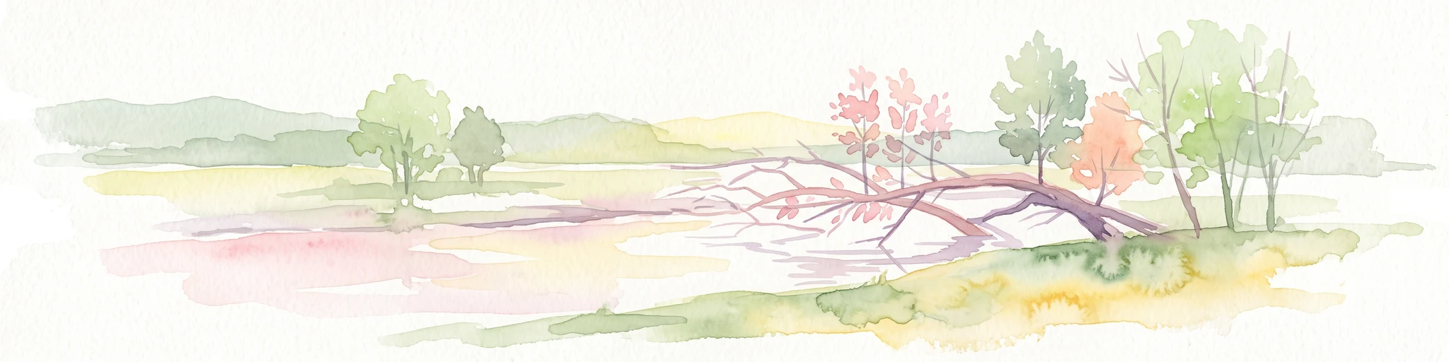
A soft watercolor illustration showing a calm, light-toned landscape with a river, a fallen tree reaching into the water, and sparse trees against a backdrop of gentle hills.
Nature reserveNordrhein-Westfalen
About 14 km away#1 closest

Southwest

Lippeaue zwischen Hamm und Lippstadt mit Ahsewiesen Protected Area and Wetland Geography

Mapping the floodplain meadows and river restoration in Nordrhein-Westfalen

Investigate the complex landscape structure of this prominent nature reserve, defined by its extensive floodplain meadows, reed beds, and remnants of alluvial forest. The site offers a clear look at how restored river meanders and managed grassland complexes function within the wider lowland geography of Germany.

Area
72 km²
Established
2004
Relief
Lowland
Climate
Temperate
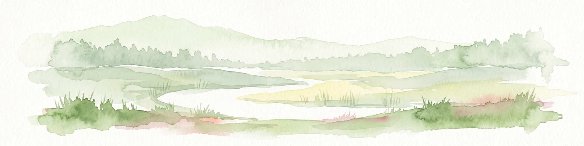
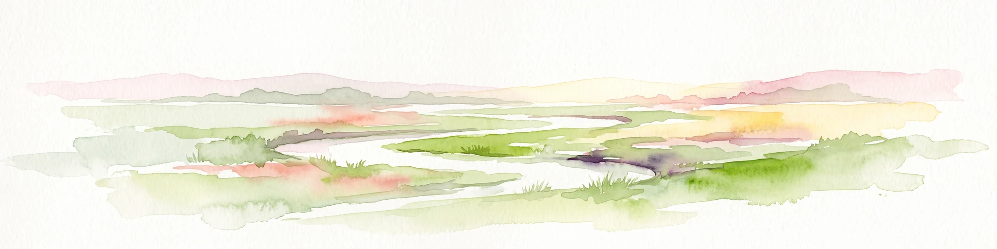
A soft watercolor painting depicting a marshy wetland with green meadows, tall grasses, and distant rolling hills on a white background.
Nature reserveKreis Gütersloh
About 16 km away#2 closest

Northeast

Im Binner Nature Reserve: Geographic Overview of the Ems Sand Plain Protected Landscape

Mapped wetlands and meadow habitats in Kreis Gütersloh, Germany

Im Binner is a defined nature reserve that anchors a fragment of the historic Ems sand plain ecosystem. This site encompasses a distinctive mix of wet grasslands, shrub-lined boundaries, and converted aquatic habitats, serving as an essential ecological refuge within the intensively farmed lowland geography of North Rhine-Westphalia.

Area
0.3 km²
Established
1988
IUCN
IV
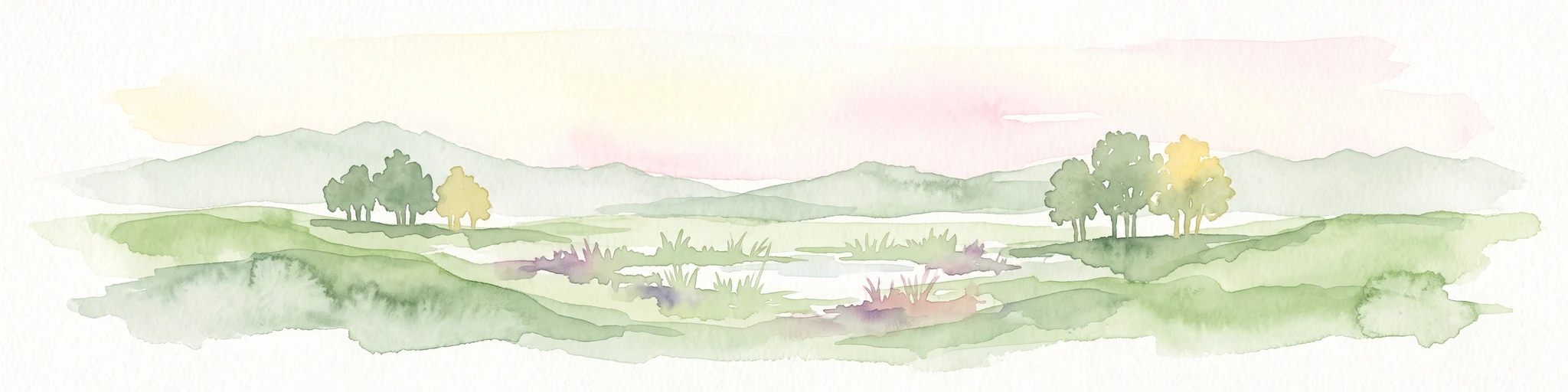
Watercolor painting of a peaceful wetland landscape with green grassy fields, small groups of trees, and a central pond, set against a soft, pale background.
Nature reserveNordrhein-Westfalen
About 18 km away#3 closest

East

Rietberger Emsniederung mit Steinhorster Becken: Geography and Nature Reserve Atlas

Protected floodplain habitats in North Rhine-Westphalia

Situated along the upper Ems river, this protected area serves as an essential ecological corridor. Examine the mapped extent of its wet meadows, basin structures, and riverine channels that distinguish this region from the surrounding agricultural landscape.

Area
9.28 km²
Established
2000
Relief
Lowland
Climate
Temperate
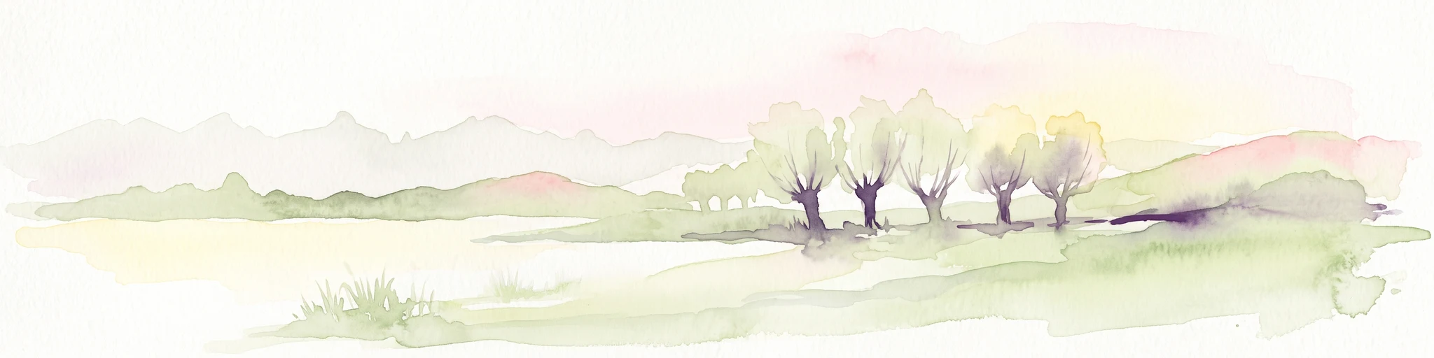
Watercolor painting of a sparse line of trees in a wetland or fen landscape with light washes of green and pink hues.
Nature reserveNorth Rhine-Westphalia
About 20 km away#4 closest

Southeast

Muckenbruch Nature Reserve: Geographic Map and Protected Wetland Landscape Overview

Regional wetland habitat within the Hellwegbörde of North Rhine-Westphalia

Muckenbruch is a structurally diverse lowland peat bog located at the northern edge of Bad Westernkotten. The reserve protects an intricate terrain of bog woodland, sedge marshes, and flowing waters that have undergone significant rewetting to restore native wetland vegetation and support local species. This site represents a key contribution to the conservation of peatland mosaics within the agricultural landscape of Kreis Soest.

Area
0.971 km²
Established
1996
Relief
Lowland
Access
Moderate access
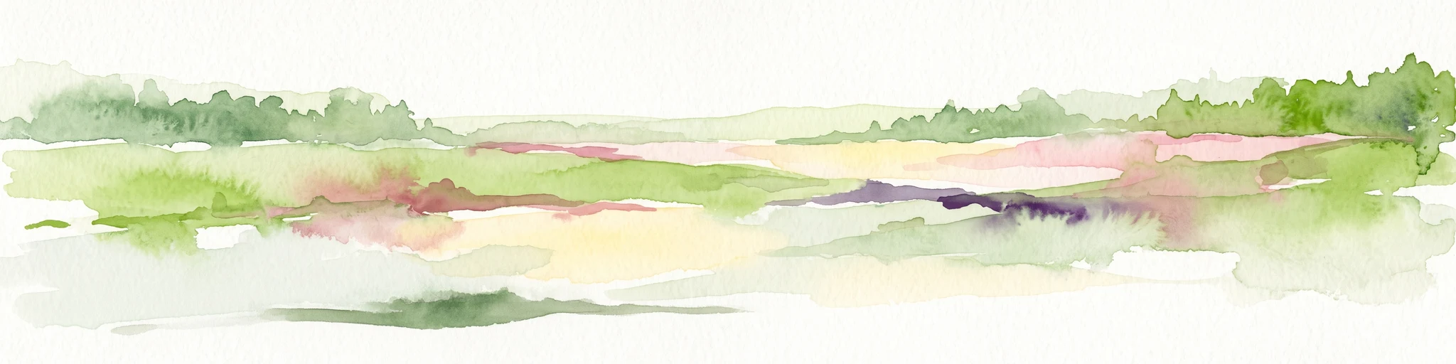
Watercolor painting of a green and pink moor landscape with a distant tree line.
Nature reserveNordrhein-Westfalen
About 21 km away#5 closest

North

Hühnermoor Nature Reserve: Geographic Analysis of a Protected Peatland in Nordrhein-Westfalen

A preserved raised-bog landscape and historic botanical refuge

Hühnermoor represents a rare, compact peatland ecosystem situated between ancient sand dunes in the Münsterland region. This nature reserve functions as a critical protected landscape, offering deep insights into regional vegetation history through its stratified peat layers while supporting threatened specialist wetland species.

Area
0.085 km²
Established
1938
IUCN
IV
Relief
Lowland
A minimalist watercolor painting showing a winding river through a soft green and yellow landscape with distant rolling hills.
Nature reserveKreis Warendorf
About 22 km away#6 closest

West

Lippeaue zwischen Schloss Oberwerries und Dolberg Protected Riverine Landscape Atlas

Nature reserve geography and riparian floodplain terrain

Located in Kreis Warendorf, Lippeaue zwischen Schloss Oberwerries und Dolberg is a distinctive nature reserve shaped by the Lippe River. The area features a concentration of still waters, reed beds, and meandering channels that showcase the natural dynamics of a lowland floodplain. This protected territory provides a detailed look at the interface between riverine ecosystems and regional landscape preservation in Germany.

Area
0.31 km²
Established
1993
IUCN
IV
Relief
Lowland
Protected landscapeKreis Paderborn
About 28 km away#7 closest

East

Landschaftsschutzgebiet Delbrücker Rücken Protected Landscape Map and Regional Context

A rural ridge mosaic in the Kreis Paderborn district

This protected landscape in the Kreis Paderborn district features a characteristic mix of deciduous forests, field hedgerows, and agricultural zones on a gentle Westphalian ridge. Its geographic layout provides a clear example of rural land protection integrated into the local environmental buffer system, showcasing a distinct mosaic of terrain that stretches across the lands north and east of Delbrück.

Area
16.1 km²
Established
1970
Relief
Lowland
Climate
Temperate
A horizontal watercolor painting showing a small winding river flowing through a lush green forest with soft pink and yellow meadow areas in the foreground.
Nature reserveKreis Gütersloh
About 29 km away#8 closest

Northeast

Holter Wald Nature Reserve: Mapping the Protected Woodland and Senne Landscape of Kreis Gütersloh

A major contiguous forest block on the eastern edge of the Westfälische Bucht

Situated in the district of Kreis Gütersloh, Holter Wald is a significant protected area defined by its sandy Senne soils and network of parallel brook valleys. The forest provides a critical lowland habitat for diverse flora and fauna, serving as a rare, large-scale woodland anchor within a largely agricultural region. Explore the terrain characteristics and ecological structure of this key North Rhine Westphalia site.

Area
6.13 km²
Established
2008
IUCN
IV
Relief
Lowland

Common questions about visiting, size, designation, and location context for Märzenbecherwald Nature Reserve

Märzenbecherwald Nature Reserve FAQs for park facts, access, geography, and protected area context

Find quick answers about Märzenbecherwald Nature Reserve, including protected-area facts, park geography, trail and visitor context, and how the park fits into its surrounding country and regional landscape.
MoriAtlas Explorer

Continue Your Protected Areas Search Across the Global Atlas

Deepen your exploration by continuing the structured search for national parks and protected areas worldwide. Utilize the comprehensive filtering capabilities to compare different conservation landscapes and refine your understanding of global park geography. Discover more about the distribution and characteristics of protected natural areas.

Global natural geography