
Why Mertelstal-Heldrastein Nature Reserve stands out
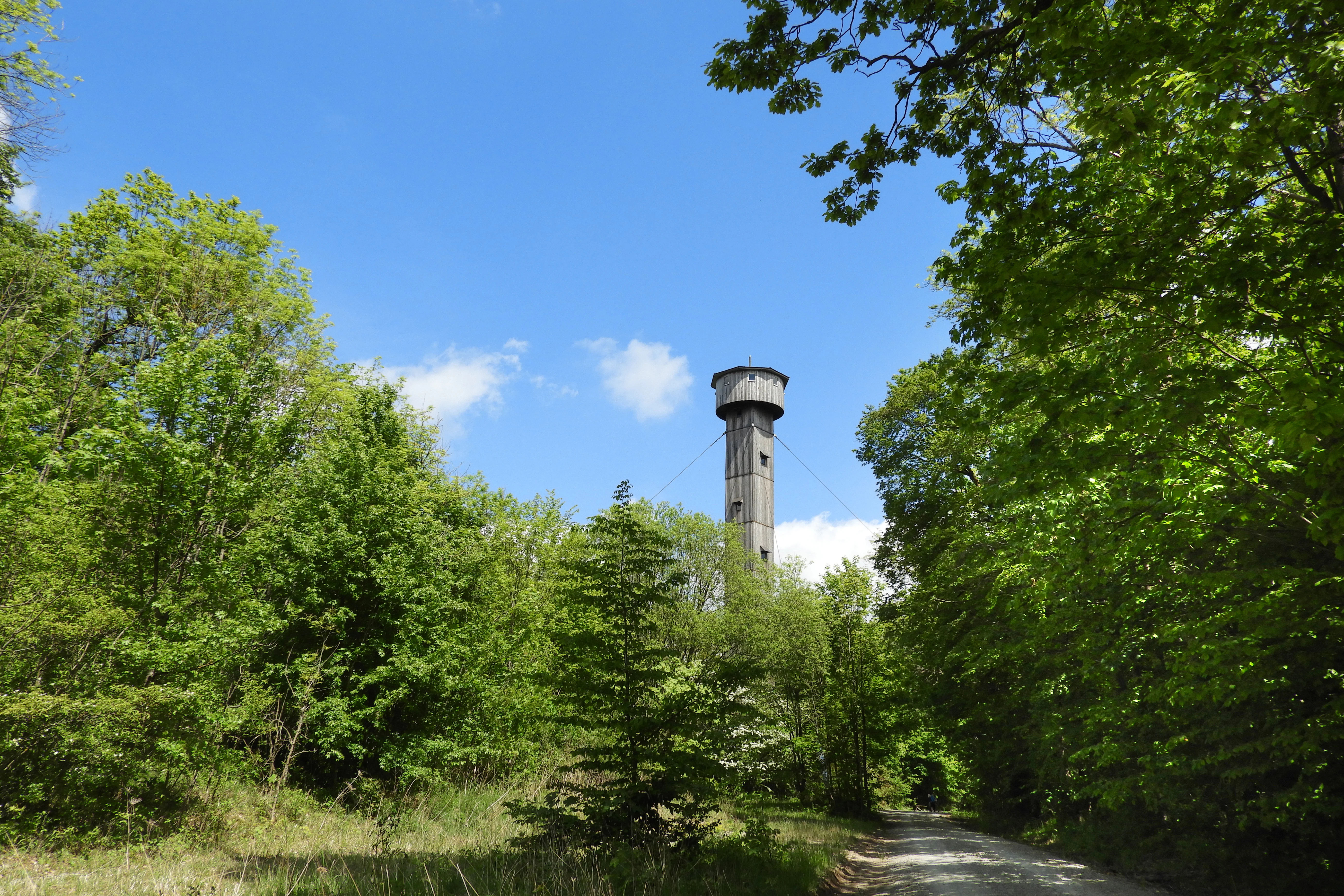
The reserve is best known for its extensive, near-natural beech forests clinging to steep Triassic limestone cliffs, including rare orchid-rich woodland and the unusual presence of the spitzlappige Mehlbeere, a regional endemic limited to the middle Werra area. Its bryophyte-rich rock habitats and bat populations, particularly the lesser horseshoe bat and Bechstein's bat, are signature conservation features. Equally distinctive is the symbolic Turm der Einheit on the Heldrastein summit, a 30-meter former military mast converted into a viewing tower after reunification that today offers sweeping vistas across the Werra valley, Eichsfeld, Hoher Meißner, Thuringian Forest, and Rhön.
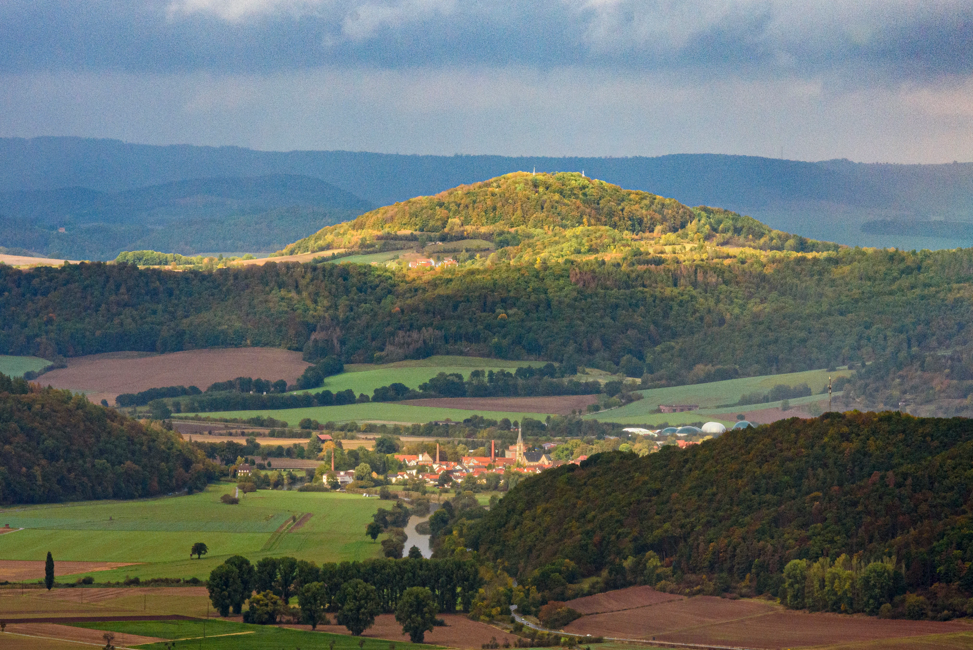
Mertelstal-Heldrastein Nature Reserve history and protected-area timeline
The first formal safeguards around the Mertelstal were put in place in May 1961, growing out of provisional protection measures between 1957 and 1961. By the mid-1990s, the area was unified with the surrounding Heldrastein and Hüneburg forest under the name Mertelstal-Heldrastein, and on 7 January 1997 the Thuringian administrative office in Weimar officially designated 252.5 hectares as a nature reserve aimed at preserving the near-natural beech forests and their associated rare species.
A second chapter began in September 2000, when the Thuringian environment ministry proposed the reserve for inclusion in the European Natura 2000 network under the EU Habitats Directive. Following federal reporting to the European Commission, the site was added to the EU list of sites of community importance in December 2004, and the formal Natura 2000 conservation objectives ordinance was issued in May 2008, specifically targeting the beech woodlands and their bat fauna together with the rockfall cliffs. In 2018, a strip of the reserve along the former border was integrated into the Grünes Band Deutschland National Natural Monument.
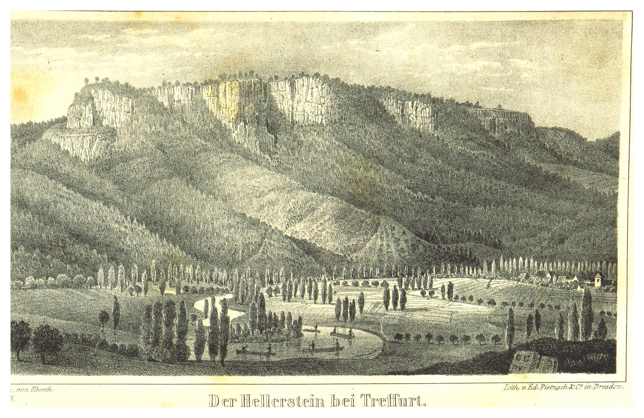
Long before any modern protection, the area was home to an Iron Age hillfort on the Hüneburg plateau, occupied from roughly the 6th to 4th centuries BC and reused in the late Middle Ages. During the Thirty Years' War, villagers from the Werra valley took refuge in the Heldrastein's caves, including a cavity later associated with an 18th-century robber named Henning. The 19th century saw the Heldrastein become a popular excursion destination under the older name Hellerstein, crowned first by a small stone lookout and then by a tower named after Grand Duke Karl Alexander of Saxe-Weimar-Eisenach. During the German division, the summit was sealed inside the inner-German border exclusion zone and used by the Stasi for radar and surveillance; after 1989 a citizens' initiative transformed the remaining 30-meter lattice mast into the Turm der Einheit, inaugurated in May 1997.
Mertelstal-Heldrastein Nature Reserve landscape and geographic character
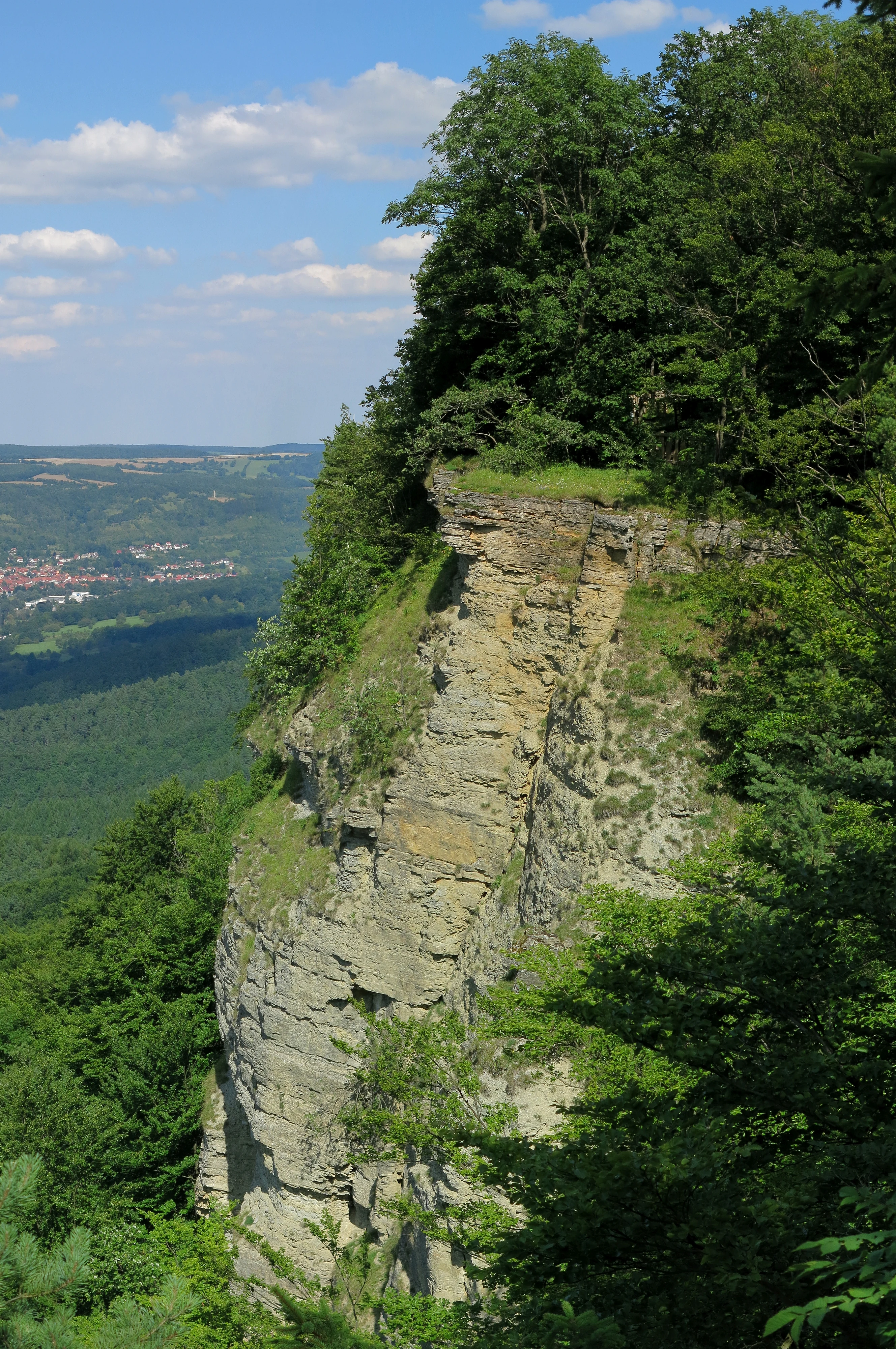
The reserve is set on the northwestern edge of the Ringgau, a tabular Muschelkalk plateau that was once separated from the main limestone escarpment of the Thuringian Basin by the Werra river, leaving the Heldrastein as an isolated Zeugenberg roughly bisected by a tectonic graben. The long Netra-Ifta depression further divides the Ringgau, placing the Heldrastein on the northern side where the cliffs fall steeply, sometimes vertically, toward the Werra floodplain.
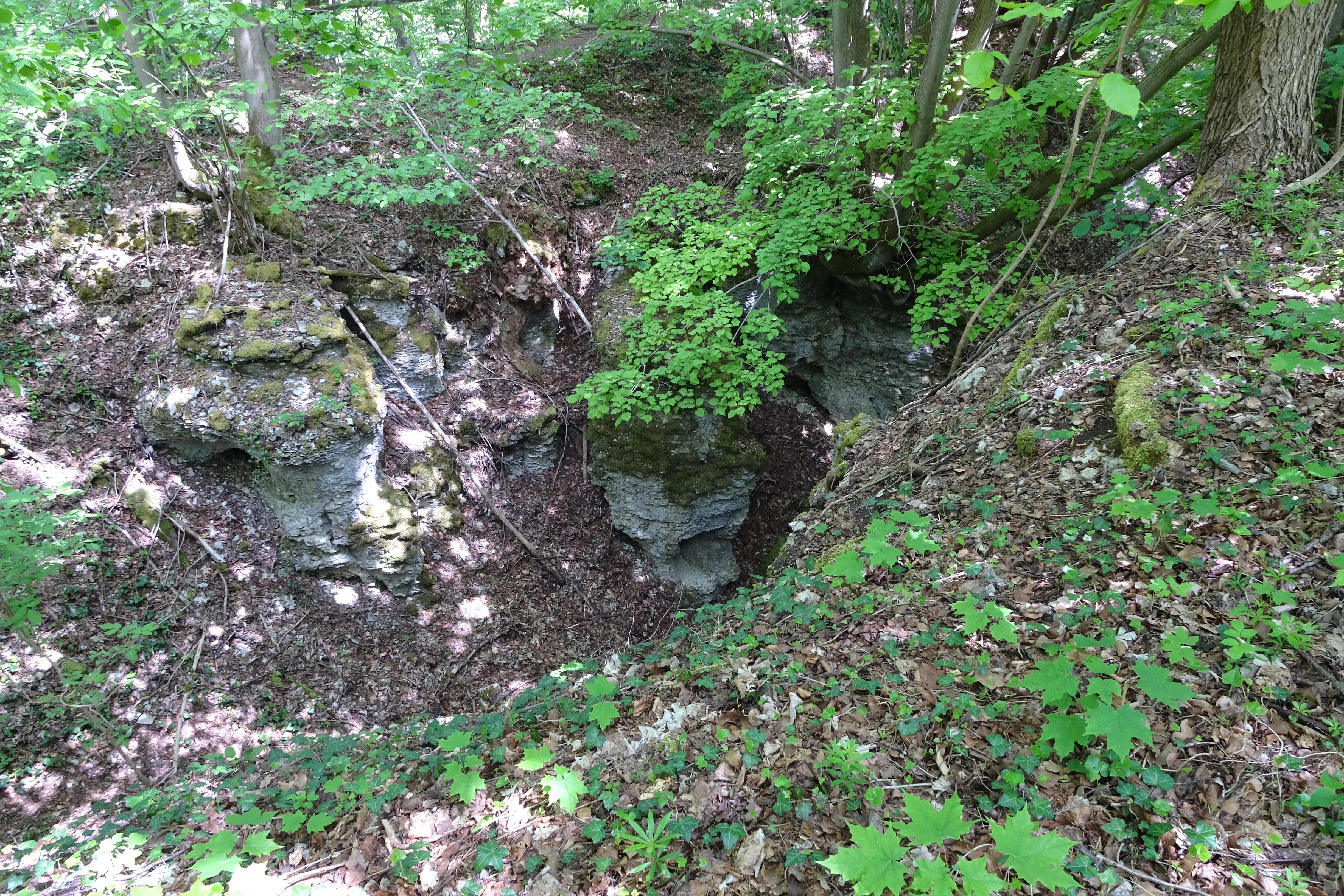
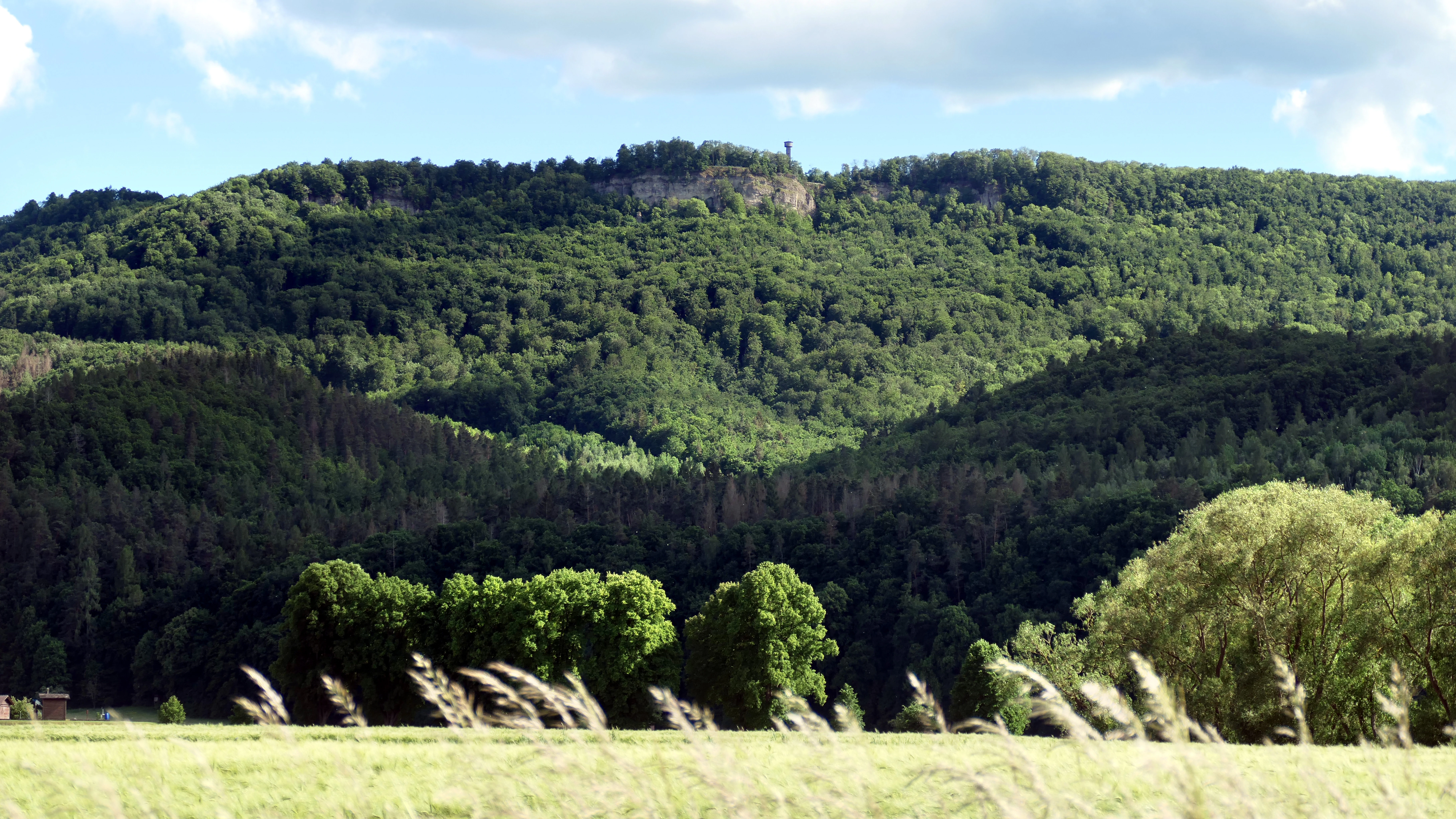
Three peaks frame the protected area: the Hüneburg at 495.4 meters, the Heldrastein at 503.8 meters, and the Dreiherrenstein at 488.5 meters, all crowned by exposed rock faces and scree aprons produced by historical landslides. These Abrisswände form dramatic near-vertical limestone walls on the north and east, while gentler forested slopes run along the plateau and toward the Mertelstal to the south. The terrain sits between roughly 270 meters in the valley bottom and just over 500 meters on the summits, giving the reserve a striking vertical relief over a relatively compact footprint.
Mertelstal-Heldrastein Nature Reserve ecosystems, habitats, and plant life
Ecologically, Mertelstal-Heldrastein is dominated by mature, near-natural deciduous forest that has developed largely from historical coppice-with-standards management. Surveys by ThüringenForst classified the woodland primarily as Waldmeister beech forest (habitat type 9130), with smaller, valuable shares of priority slope and ravine mixed forest (9180*) and Hainsimsen beech forest (9110), giving the reserve a layered composition of pure beech stands and mixed broadleaf forest.
Beyond the forest itself, the reserve encompasses three specially surveyed rocky habitat types: limestone scree slopes (8160*), calcareous rock with crevice vegetation (8210), and non-tourist caves (8310). The screes below the cliffs have accumulated characteristic plants such as Kalk-Blaugras, Ruprechtsfarn, and Ruprechtskraut, while the shaded limestone outcrops support a specialist community of small ferns, mosses, and lichens, anchored by the Braunstieliger Streifenfarn. Around 200 moss species and more than 40 moss associations have been documented, and approximately 80 lichen species are recorded in the area.
The woodland flora includes a notable suite of rare and protected orchids, such as the white and red Cephalanthera, spotted Dactylorhiza, multiple Epipactis species, and the bird's-nest orchid. The presence of numerous yews and the regional endemic spitzlappige Mehlbeere, a tree otherwise restricted to the middle Werra region, give the forest an unusually distinctive botanical profile.
Mertelstal-Heldrastein Nature Reserve wildlife and species highlights
The protected area's most important animal residents are its bats. The lesser horseshoe bat, one of Europe's smallest horseshoe species, and Bechstein's bat, a secretive woodland bat, both occur here and were central to the site's selection as a Fauna-Flora-Habitat area. Thuringia holds Germany's largest lesser horseshoe population, and the Bechstein's bat has a notable center of distribution in Germany, placing strong national responsibility on these forests and their old trees for continued conservation.
The site also supports other bat species of conservation concern, including the Natterer's bat and brown long-eared bat, all strictly protected under German nature law. Among birds, eagle owls, peregrine falcons, red kites, and black and grey-headed woodpeckers use the landscape as breeding or feeding territory, all species listed under Annex I of the EU Birds Directive. Invertebrate diversity is unusually rich, with over fifty land snail species recorded in the slope-debris forests and a lepidoptera fauna that includes the Veilchen-Perlmuttfalter, Perlbinde, Kommafalter, more than seventy noctuid moths, over eighty geometer moths, and around forty bombycid and hawk moths documented just from the Heldrastein.
Mertelstal-Heldrastein Nature Reserve conservation status and protection priorities
Mertelstal-Heldrastein serves as both a national nature reserve and a European site of community importance, giving it a dual conservation mandate. The primary purpose is the preservation of near-natural beech forest habitats and the ancient cliff and scree environments of the Ringgau edge, including the rare orchid-rich flora, the regionally endemic spitzlappige Mehlbeere, and the unusually diverse bryophyte community of over 200 moss species.
The site's bat populations, especially the lesser horseshoe bat and Bechstein's bat, are explicitly singled out in EU conservation objectives because Germany bears substantial responsibility for their survival. Forest management is oriented toward maintaining old-growth conditions: threats include pesticide use, loss of roosts and old trees, and forestry practices that remove veteran timber and cavity-bearing trees. As part of the Natura 2000 network and partially inside the Grünes Band Deutschland National Natural Monument, the reserve contributes to a transboundary corridor linking Thuringian and Hessian protected areas and the broader former-border habitat chain.
Mertelstal-Heldrastein Nature Reserve cultural meaning and human context
The landscape carries a dense cultural memory alongside its ecological role. The Hüneburg, east of the Heldrastein summit, was an Iron Age hillfort with a defensive ditch and rampart accessed only from the plateau, occupied from the 6th to 4th centuries BC and reused in the late medieval period; it is now a protected archaeological monument.
Centuries later, the cliff caves provided refuge during the Thirty Years' War, and one chamber, the Henningshöhle, became associated with an 18th-century robber who raided as far as Eschwege and Mühlhausen. The Heldrastein, originally called Hellerstein for its bright limestone faces, became a 19th-century excursion destination crowned first by a small stone lookout around 1840 and then by a tower named after Grand Duke Karl Alexander of Saxe-Weimar-Eisenach. Its most recent chapter is the Turm der Einheit, a converted GDR surveillance mast inaugurated in May 1997, now serving as a regional viewing point and a symbol of reunification, while the nearby Dreiherrenstein marks an old tri-border point where, down through the centuries, ruling territories repeatedly changed hands.
Top sights and standout views in Mertelstal-Heldrastein Nature Reserve
Three features make Mertelstal-Heldrastein stand out among central German nature reserves. It combines some of Thuringia's oldest near-natural beech forests with rare orchid and bryophyte communities that have developed on calcareous rockfall cliffs, including the locally endemic spitzlappige Mehlbeere and a moss flora of regional bryological importance. Its bat populations, particularly the lesser horseshoe bat and Bechstein's bat, anchor a strong conservation profile within the European Natura 2000 network.
Equally distinctive is the layering of political and cultural history: an Iron Age hillfort on the Hüneburg, Thirty Years' War cave refuges, nineteenth-century tourism on the Hellerstein, and a GDR surveillance site transformed after 1989 into a public symbol of reunification. Long-distance trails such as the Barbarossaweg, the Wanderweg der Deutschen Einheit, the Ars Natura sculpture path, and the Geo-Naturpark Frau-Holle-Land premium trail P6 all run through the reserve, linking its ecological and historical identity.