

Streams
Park geography
Detailed spatial analysis of regional terrain, inland features, and coastal zones.
Comprehensive Geographic Profile and Mapped Boundaries of Mols Bjerge National Park, Denmark
This geographic profile provides an in-depth view of Mols Bjerge National Park in Denmark, spanning 180 square kilometers of upland and coastal terrain. Examine mapped boundary data alongside key landscape features including woodland, heath, and wetlands, while identifying specific peaks, bays, and lakes within the protected area.
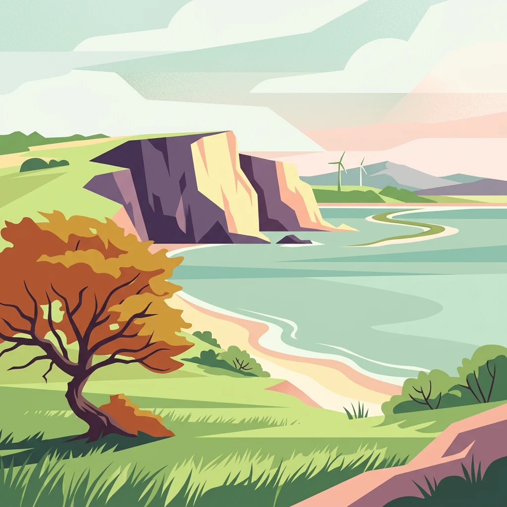
Denmark's ancient hills and coastal landscapes on the Djursland peninsula
Mols Bjerge National Park
Mols Bjerge National Park is Denmark's second national park, established in 2009 on the Djursland peninsula in Central Jutland. The protected area encompasses 180 square kilometres of rolling glacial landscape, with the Mols Hills as its central feature, rising to 137 metres above sea level. The park protects a diverse mosaic of heath, woodlands, pastures, bogs, meadows, and coastal habitats along the Kattegat sea. More than half of all wild Danish plant species can be found within the park boundaries, making it one of the country's most botanically significant protected areas. The landscape bears testimony to thousands of years of human habitation, with Stone Age burial mounds, Bronze Age barrows, and medieval castle ruins scattered throughout the terrain.
- Location
- Denmark
- Park type
- National park
- Established
- 2009
- Area
- 180 km²
- Highest point
- 137 m
Location overview
National park administrative records across Denmark and Central Jutland
Mols Bjerge National Park Geographic Context and Location Details
Mols Bjerge National Park spans Denmark within Central Jutland and Syddjurs Municipality. Recorded regional memberships confirm its coastal park status and administrative territory.
- Countries
- Denmark
- Regions
- Central Jutland, Syddjurs Municipality
- Primary location
- Denmark
- Geographic setting
- Coastal
Boundary and coordinates
Interactive geometry and derived spatial measurements for Mols Bjerge National Park
Mols Bjerge National Park Boundary Map and Spatial Extent
Mapped boundary geometry provides clear spatial context for analyzing the perimeter and layout of Mols Bjerge National Park. Accompanying facts outline derived area measurements, coordinate limits, and geographic spans across the protected territory.
- Boundary area
- 177.5 km²
- Boundary perimeter
- 178.4 km
- Northernmost point
- 56.3204° N
- Southernmost point
- 56.1298° N
- Easternmost point
- 10.8473° E
- Westernmost point
- 10.4513° E
- Geographic centre
- 56.2312° N, 10.6207° E
- North–south span
- 21.2 km
- East–west span
- 24.6 km
Elevation and terrain
Upland topography and recorded natural features across the protected landscape
Mols Bjerge National Park Terrain and Elevation Summary
Recorded elevation metrics outline the upland terrain profile and maximum heights across the protected area. Linked natural feature cards detail individual peaks, bays, and water bodies located within the park boundary.
- Maximum elevation
- 137 m
- Highest point
- 137 m
Selected named natural features
Beaches
Strandkær Strand
Bays
Begtrup Vig
Peaks
Store Håsbjerg
75 m
Valleys
Dåleren
Hills
Ormbjerg
Environmental setting
Temperate upland terrain, coastal relief, and partial forest cover records
Environmental Classifications and Physical Setting of Mols Bjerge National Park
Recorded landscape features, habitat types, and climate classifications provide structured interpretive categories for the terrain of Mols Bjerge National Park. Associated environmental records connect each stored attribute to relevant regional atlas destinations where available.
- Relief
- Upland
- Climate
- Temperate
- Water
- Minor water
- Forest cover
- Partial forest
- Seasonality
- Year-round
Landscape features
Hills · Woodland · Grassland · Coast · Cliffs
Habitat types
Temperate broadleaf forest · Heath · Grassland · Wetland · Coastal habitat
Park atlas
Discover other national parks and protected areas across the surrounding region
Parks Near Mols Bjerge National Park and Related Protected Landscapes to Compare
Compare Mols Bjerge National Park with other protected areas across the surrounding regional terrain and coastal geography. Expanding the park search reveals connected natural landscapes and diverse glacial habitats throughout Denmark.

Protected areaDenmark
Mapped location lies within the park boundary#1 closest
South

Begtrup Vig Protected Area: Glacial Terrain and Coastal Geography in Denmark
Coastal landscape and regional protected area mapping
Begtrup Vig is a distinct coastal bay defined by its glacial history, stretching across the southern Djursland peninsula in Denmark. Within the broader Mols Bjerge national park framework, the area features varied topography including stony shores, sandy coves, and pastoral meadows. This record provides a focused look at the environmental boundaries and geographic significance of this protected habitat, bridging natural terrain with the regional landscape context.
- Relief
- Upland
- Scope
- Mixed
- Water
- Water-dominated
- Season
- Year-round

Protected areaRegion Midtjylland
Mapped location lies within the park boundary#2 closest
South
Natura 2000-område nr. 51 Begtrup Vig og kystområder ved Helgenæs Geography and Maps
Coastal grasslands and marine habitats in Region Midtjylland
Examine the complex terrain of Natura 2000-område nr. 51 Begtrup Vig og kystområder ved Helgenæs, an expansive protected area characterized by its diverse coastal cliff systems and large calcareous grasslands. This site documents the evolution of the Kattegat shoreline through its unique recurved spits and lifted seabed formations, providing a window into the natural landscape history of the Helgenæs peninsula.
- Area
- 17.71 km²
- Established
- 2011
- Relief
- Lowland
- Climate
- Temperate
National parkCentral Jutland
Mapped location lies within the park boundary#3 closest
North
Nationalpark Mols Bjerge: A Geographic Overview of Central Jutland's Glacial Landscape
Mapped terrain, dead-ice hills, and prehistoric monuments
Nationalpark Mols Bjerge offers a deep look into the glacial heritage of Central Jutland. The area features steep, sun-exposed slopes, heathland, and coastal fringes that provide a unique perspective on the Danish landscape. By examining the park's mapped boundaries, one can identify the convergence of geological landforms and ancient cultural history preserved within this protected environment.
- Relief
- Mountain
- Access
- Easy access
- Water
- Major water bodies
Nature reserveRegion Midtjylland
Park boundaries overlap#4 closest
Northeast
Stubbe Sø Nature Reserve: A Geographic Exploration of Djursland Protected Landscapes
Mapping the wetlands, forest fringes, and mire systems of eastern Jutland.
Stubbe Sø is a central protected feature within the landscape of eastern Jutland, comprising a large shallow lake surrounded by alder-birch shorelines and coniferous plantations. This nature reserve offers deep insight into the glaciated terrain and wetland mosaic of the Djursland peninsula, providing an essential geographic reference for understanding local conservation habitats and regional waterbird migration corridors.
- Area
- 7.78 km²
- Established
- 1963
- Relief
- Lowland
- Climate
- Temperate

Nature reserveRegion Midtjylland
2.7 km away#5 closest
West
Tved Kær Nature Reserve: Protected Coastal Habitat Geography in Region Midtjylland
Exploring lime-rich fens and coastal cliff terrain.
Tved Kær represents a compact but ecologically dense protected area in Denmark, known for its rare calcareous fen and seepage vegetation. Situated near the village of Tved, this nature reserve integrates coastal cliffs and raised seabed to form a distinct habitat mosaic within the Mols peninsula, serving as a vital site for rare orchid species and lime-rich soil preservation.
- Area
- 0.06 km²
- Established
- 1981
- Relief
- Lowland
- Climate
- Temperate
Nature reserveRegion Midtjylland
14 km away#6 closest
North
Eldrup Skov og søer og moser i Løvenholm Skov: Geographic Map and Protected Landscape
An ecologically layered nature reserve in Region Midtjylland
This protected area unit unites five distinct parcels, including Gjesing Mose and Løvenholm Langsø, to preserve a rare slice of Danish forest and peatland. Use this mapping resource to understand the transition from dense broadleaf woodland to open raised bog habitats. The area represents a primary example of habitat restoration and conservation, showcasing how small, fragmented ecosystems retain their ecological integrity within a larger forest complex.
- Area
- 1.55 km²
- Established
- 2011
- Relief
- Lowland
- Climate
- Temperate
Protected areaDenmark
14 km away#7 closest
South
Stavns Fjord Protected Area: An Atlas of Danish Coastal Landscapes
Mapping the islands and tidal flats of Samsø
Stavns Fjord offers a rare glimpse into a sheltered coastal landscape set entirely within the island of Samsø. Characterized by its calm waters, shallow tidal flats, and the curving spit of Besser Rev, this protected site is a critical Ramsar wetland habitat for coastal bird populations. Explore the unique geography and layered history, from Viking canals to medieval fortifications, that define this essential Danish protected area.
- Area
- 20 km²
- Established
- 1926
- Relief
- Lowland
- Access
- Moderate access

Protected areaRegion Midtjylland
16 km away#8 closest
South
Nordby Bakker Protected Area: Glacial Moraine and Grasslands in Region Midtjylland
Coastal cliffs, dunes, and rare calcareous ecosystems
Nordby Bakker preserves one of the largest continuous dry grassland complexes in Denmark, set upon a prominent glacial terminal moraine. Located at the northern tip of Samsø, this protected area features a unique synthesis of coastal dunes, beach ridges, and inland lakes that support a distinct array of rare plant and insect species within the central Kattegat region.
- Area
- 6.28 km²
- Relief
- Upland
- Climate
- Temperate
- Scope
- Mixed
MoriAtlas Explorer
Continue Exploring the Protected Landscapes of Mols Bjerge National Park
Dive into the map-based terrain of Mols Bjerge National Park to understand its glacial formations, coastal ecosystems, and archaeological significance. This MoriAtlas entry provides a structured look at the geography and protected boundaries that define this essential Danish natural area.
Browse next
Global natural geography
Explore related park routes
Explore MoriAtlas Global ParksBrowse All MoriAtlas ParksGlobal Park Map DiscoveryMoriAtlas: Browse All CountriesBrowse All MoriAtlas ContinentsNational Park Environment AtlasGrand Canyon National Park AtlasYellowstone National Park AtlasYosemite National Park Atlas and GeographySerengeti National Park AtlasGalápagos National Park Protected LandscapeBanff National Park Geography and AtlasKruger National Park Atlas EntryUluṟu-Kata Tjuṯa National Park AtlasExplore Uluru-Kata Tjuta National Park GeographyPlitvice Lakes National Park AtlasFiordland National Park Protected LandscapeGreat Smoky Mountains National Park AtlasAfghanistan National Parks and Protected AreasAlbania National Parks and Protected AreasAlgeria National Parks and Protected AreasAmerican Samoa National Parks and Protected AreasAndorra National Parks and Protected AreasAngola National Parks and Protected AreasAntarctica National Parks and Protected AreasAntigua and Barbuda Park List