

Viewpoints
Park geography
Regional context, mapped protected terrain, and physical features of the parkland.
Morton National Park: A Comprehensive Geographic Profile and Landscape Boundary Analysis
Examine the geographic foundation of Morton National Park in New South Wales. This structured profile details the park boundary, spanning approximately 1997.45 square kilometers, along with diverse mountain terrain and temperate forest habitats. Discover key natural landmarks including waterfall systems and expansive cliff lookouts embedded within the regional topography.
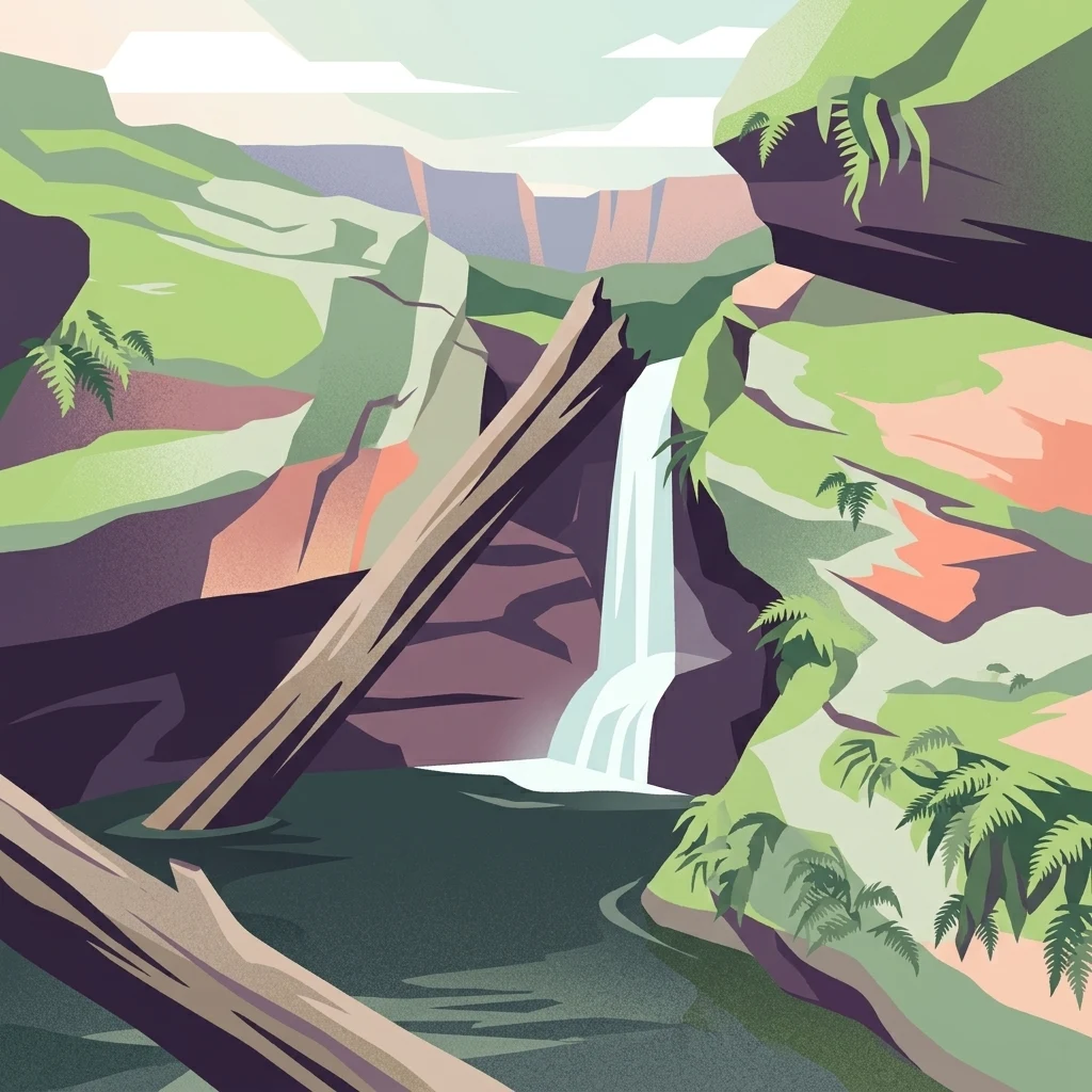
Ancient Aboriginal lands protecting dramatic waterfalls and steep gorges in New South Wales
Morton National Park
Morton National Park is a vast protected area spanning nearly 200,000 hectares in the Southern Highlands, South Coast, and Illawarra regions of New South Wales, Australia. Located approximately 170 kilometres south southwest of Sydney, the park encompasses a landscape of flat plateaus dissected by steep gorges, with terrain that tilts gently toward the northeast. The park is renowned for its dramatic waterfalls, including Fitzroy Falls and Belmore Falls, which plunge from the plateau edge into rainforest gullies. The landscape contains part of the Budawang Range and is traversed by the Shoalhaven River in its northern sections. This park holds deep cultural significance for the Yuin people, with archaeological evidence suggesting Aboriginal habitation extending back nearly 20,000 years.
- Location
- Australia
- Park type
- National park
- Established
- 1967
- Area
- 1,997.5 km²
Location overview
Administrative boundaries and regional placement in New South Wales
Mapping the Geography of Morton National Park in Australia
Morton National Park is located entirely within New South Wales in Australia. Records detail its single-country administration and verify its interior, non-transboundary regional footprint.
- Countries
- Australia
- Regions
- New South Wales
- Primary location
- New South Wales
- Geographic setting
- Inland
Boundary and coordinates
Interactive protected-area geometry and calculated dimensional facts
Morton National Park Boundary Map and Spatial Extent
Mapped park outlines provide spatial context for regional conservation geography and terrain boundaries. Accompanying dimensional metrics detail recorded area and coordinate spans.
- Boundary area
- 1,995.8 km²
- Boundary perimeter
- 1,252.9 km
- Northernmost point
- 34.6145° S
- Southernmost point
- 35.3936° S
- Easternmost point
- 150.5722° E
- Westernmost point
- 149.9609° E
- Geographic centre
- 35.0118° S, 150.2422° E
- North–south span
- 86.4 km
- East–west span
- 55.8 km
Elevation and terrain
Mixed relief range reaching 768 meters across recorded natural features
Morton National Park Elevation Profile and Mapped Terrain Geography
Recorded elevation records place the maximum relief at 768 meters across mixed terrain classifications. Individual feature cards detail associated streams, peaks, and viewpoints located within the protected boundary.
- Maximum elevation
- 768 m
Selected named natural features
Peaks
Admiration Point
Streams
Canowie Brook
Streams
Johnson Gully
Streams
Sandy Creek
Viewpoints
Maemede Lookout
Environmental setting
Recorded relief types, temperate broadleaf forest zones, and major water systems
Morton National Park Environmental Settings and Landscape Classifications
Stored landscape features and habitat types frame the physical setting across mixed terrain and forested majority zones. Recorded classifications connect directly to broader atlas destinations where available.
- Relief
- Mixed relief
- Water
- Major water bodies
- Forest cover
- Mostly forested
- Seasonality
- Year-round
Landscape features
Mountains · Valleys · Cliffs · Forest · Waterfalls · Rivers
Habitat types
Temperate broadleaf forest · Riverine habitat · Wetland
Park atlas
Compare protected landscapes and map regional park geography surrounding Morton National Park's diverse terrain.
Discover Nearby National Parks and Protected Areas Beyond Morton National Park in New South Wales
Explore additional national parks and protected areas near Morton National Park, discovering diverse conservation landscapes across New South Wales' Southern Highlands. Compare varied protected terrain and trace regional geographic connections, deepening your understanding of the broader Australian protected-area network.
National parkNew South Wales
Park boundaries overlap#1 closest
Southwest

Budawang National Park: Wilderness Area and Rugged Terrain Map
Discover New South Wales protected landscape geography.
Budawang National Park is recognized for its exceptional wilderness character, defined by the steep topography of the southern Budawang Range. This protected national park features extensive cool temperate rainforests clothing its middle and upper slopes, creating a visually striking and ecologically rich mountain environment. Its rugged terrain, with deep valleys and rocky outcrops, distinguishes it as a remote natural landscape within New South Wales, offering unique habitat pockets and contributing to the region's protected area atlas.
- Area
- 237 km²
- Established
- 1977
- IUCN
- Ib
- Relief
- Mountain
National parkNew South Wales
Park boundaries overlap#2 closest
Northeast
Budderoo National Park: Protected Landscape Exploration in New South Wales
Mapping the protected area and its regional geographic context.
Gain a clear understanding of Budderoo National Park as a protected national park situated within New South Wales. This detail page focuses on its mapped geographic features and protected landscape characteristics, providing critical context for atlas-based discovery. Explore the park's position within the broader regional geography of Australia and appreciate its identity as a conservation landscape.
- Area
- 72.19 km²
- Established
- 1986
- IUCN
- II
- Climate
- Subtropical
National parkNew South Wales
Park boundaries overlap#3 closest
Northeast
Jerrawangala National Park: Protected Landscape Identity and New South Wales Geographic Context
Explore its mapped terrain and regional protected area distribution.
Jerrawangala National Park stands as a distinct protected natural area within the geography of New South Wales. This resource details its protected landscape character and its position within the broader regional atlas. Users can understand the park's mapped boundaries and its role in conservation landscapes, offering a concrete geographic anchor for exploration. Dive into the specifics of this national park's setting and its contribution to understanding the natural terrain of Australia.
- Relief
- Upland
- Climate
- Temperate
- Access
- Remote access
- Scope
- Terrestrial
National parkNew South Wales
0 km away#4 closest
Southeast
Meroo National Park: Protected National Park in New South Wales with Mapped Landscape Identity
Explore the protected landscape and geographic context of this national park.
Meroo National Park is a protected national park located in New South Wales, Australia, offering specific geographic context for atlas exploration. This page provides details on its mapped boundaries and its identity as a conservation landscape. Understanding Meroo National Park's place within the regional geography of New South Wales is key to appreciating its protected status and unique natural characteristics, all within a framework designed for structured geographic discovery.
- Established
- 2001
- IUCN
- II
- Relief
- Lowland
- Climate
- Temperate
National parkNew South Wales
0 km away#5 closest
North
Bungonia National Park: National Park Protected Area Geography and Landscape Context in New South Wales
Mapped boundaries and regional terrain of this Australian national park.
Access detailed geographic information for Bungonia National Park, a significant protected area designated as a national park in New South Wales, Australia. This entry focuses on its mapped boundaries, regional landscape context, and how it fits into the wider atlas of protected lands. Understand the park's terrain and geographic significance through structured, map-driven exploration tools.
- Area
- 15 km²
- Established
- 2010
- IUCN
- II
- Relief
- Mountain
National parkNew South Wales
0 km away#6 closest
East
Conjola National Park: Mapped Protected Landscape within New South Wales Geography
Explore the park's protected boundaries and regional terrain.
Conjola National Park represents a distinct protected landscape within New South Wales, offering rich opportunities for geographic discovery. As a national park, its mapped boundaries and natural terrain contribute significantly to the regional atlas. This entry provides essential context for understanding the park's protected identity and its contribution to the broader geographic landscape of Australia, facilitating detailed map exploration.
- Area
- 10 km²
- Established
- 1994
- IUCN
- II
- Relief
- Lowland
National parkAustralia
0.1 km away#7 closest
Northeast
Bugong National Park: Protected Landscape Identity and Geographic Context in Australia
Discover unique biodiversity, forest habitats, and regional terrain.
Bugong National Park stands as a vital strict nature reserve within Australia's protected lands. Its distinct geography features a plateau below the Cambewarra range and steeply sloping valleys carved by waterways like Bugong Creek and the Shoalhaven River. This protected area is crucial for conserving significant biodiversity, including endemic and threatened species, across its diverse wet and dry forest habitats. For those interested in atlas exploration, Bugong National Park offers a clear example of landscape conservation and protected area geography within New South Wales.
- Area
- 10.22 km²
- Established
- 2001
- IUCN
- Ia
- Relief
- Mixed relief
Nature reserveNew South Wales
0.5 km away#8 closest
Northeast
Cambewarra Range Nature Reserve: Geographic Atlas and Protected Landscape Overview
Escarpment forests and plateau terrain in New South Wales
The Cambewarra Range Nature Reserve acts as a resilient ecological anchor within the Southern Highlands, safeguarding coachwood-dominated rainforests and diverse heath shrublands. As part of a larger network of protected lands, its steep terrain and rocky cliffs provide essential habitat for threatened species while managing regional drainage across the Sydney Basin geological landscape.
- Area
- 16.84 km²
- Established
- 2001
- Relief
- Highland
- Climate
- Temperate
MoriAtlas Explorer
Continue Exploring Morton National Park's Geographic Features and Mapped Landscapes
Deepen your understanding of Morton National Park by delving into its specific geographic context and protected landscape characteristics. Discover the mapped terrain, regional significance, and natural features that define this important national park within New South Wales. Continuing your exploration here offers structured insight into its unique atlas presence and the natural heritage it preserves for geographic discovery.
Browse next
Global natural geography
Explore related park routes
Explore MoriAtlas Global ParksBrowse All MoriAtlas ParksGlobal Park Map DiscoveryMoriAtlas: Browse All CountriesBrowse All MoriAtlas ContinentsNational Park Environment AtlasGrand Canyon National Park AtlasYellowstone National Park AtlasYosemite National Park Atlas and GeographySerengeti National Park AtlasGalápagos National Park Protected LandscapeBanff National Park Geography and AtlasKruger National Park Atlas EntryUluṟu-Kata Tjuṯa National Park AtlasExplore Uluru-Kata Tjuta National Park GeographyPlitvice Lakes National Park AtlasFiordland National Park Protected LandscapeGreat Smoky Mountains National Park AtlasAfghanistan National Parks and Protected AreasAlbania National Parks and Protected AreasAlgeria National Parks and Protected AreasAmerican Samoa National Parks and Protected AreasAndorra National Parks and Protected AreasAngola National Parks and Protected AreasAntarctica National Parks and Protected AreasAntigua and Barbuda Park List