Mori Atlas logo
Park earthquake history

Explore an atlas of historical earthquake records mapped to the surrounding high country

Recorded Seismic Activity and Earthquake History for Mount Sneffels Wilderness

This collection presents a structured historical catalogue of recorded seismic events associated with the geographic coordinates of Mount Sneffels Wilderness. By tracing epicentre distances relative to these rugged alpine basins and ridgelines, the data provides a clear record of local seismic history. These findings rely on USGS-derived earthquake logs, offering a transparent view of recorded earth movement near the San Juan Mountains without implying geologic causation or hazard assessment.

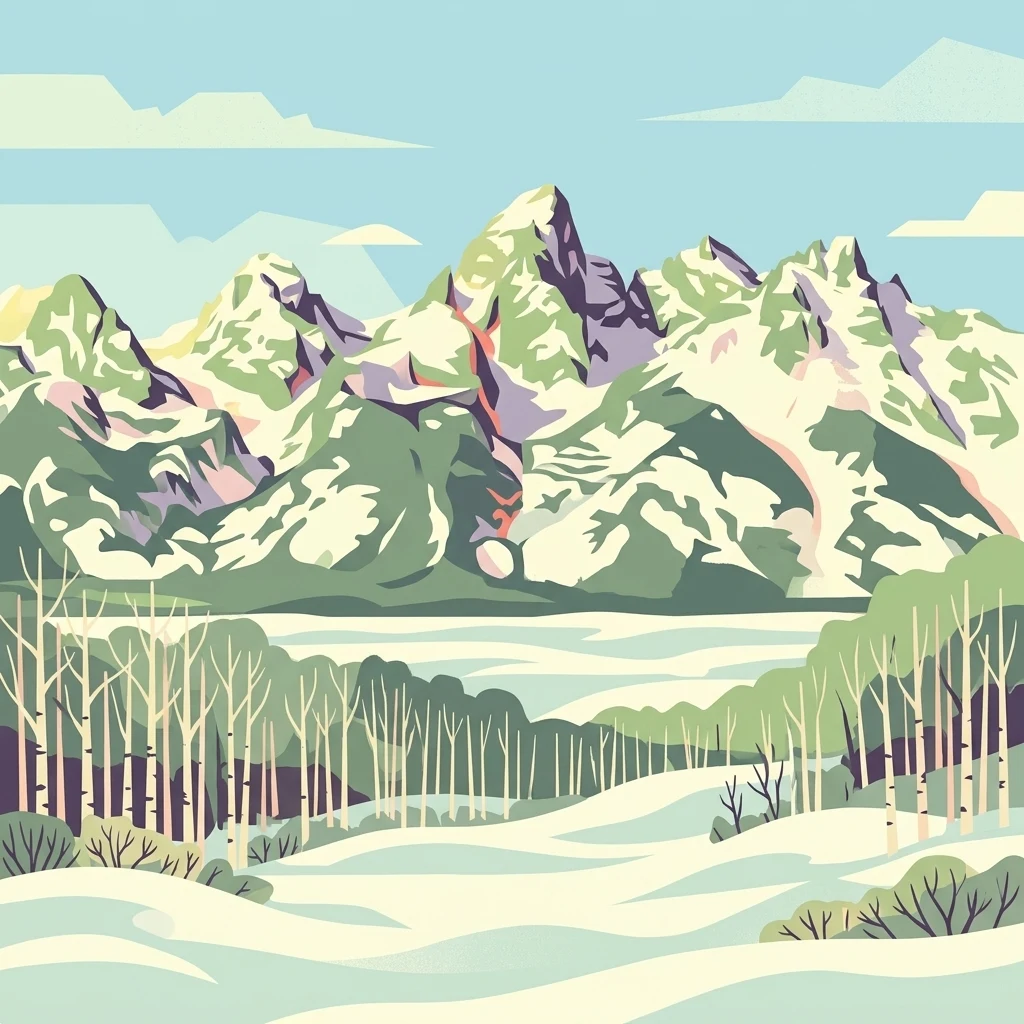
A stylized vector illustration of a jagged, snow-covered mountain range behind a foreground forest of leafless white trees and snowy ground.

A high-alpine wilderness in Colorado's San Juan Mountains, anchored by the iconic Mount Sneffels fourteener.

Mount Sneffels Wilderness

Mount Sneffels Wilderness is a rugged, federally protected wilderness area in southwest Colorado, situated within the Uncompahgre National Forest and straddling Ouray and San Miguel counties. Centered on the celebrated fourteener Mount Sneffels, the wilderness preserves a dramatic section of the San Juan Mountains, with elevations climbing well above tree line into jagged alpine ridges, cirques, and broad basins. The area is characterized by classic Rocky Mountain high-country scenery: sweeping alpine tundra, glacially carved valleys, evergreen forests of spruce and fir, and panoramic ridgelines that connect isolated summits across the Sneffels subrange. Its proximity to the historic mountain town of Ouray gives the wilderness both a remote, high-altitude character and a close relationship to one of Colorado's most iconic alpine communities. Designated as part of the U.S. National Wilderness Preservation System, Mount Sneffels Wilderness protects an important block of pristine alpine habitat and continues to serve as a regional landmark for wilderness recreation, mountain scenery, and fourteener climbing in the heart of the San Juan range.

Location
United States of America
Park type
Protected area
Established
1980
Area
67 km²
Highest point
4,310 m
Mount Sneffels Wilderness Protected Area

Compare Mount Sneffels Wilderness events by distance

Review earthquake observations around Mount Sneffels Wilderness

Mount Sneffels Wilderness earthquake observations are grouped through epicentres and distance from the wilderness, rather than assumed boundary occurrence. Compare dates, magnitudes, depths, place descriptions, distances, and sources to read the historical evidence without attributing seismicity to wilderness terrain, stating current risk, or predicting activity.

Sort by
Magnitude
Location

This page describes catalogued earthquakes associated with the park by epicentre location and distance. It does not establish causation, assess current danger, or predict future earthquakes.

No earthquake records match the current filters

Park atlas

Go beyond Mount Sneffels Wilderness earthquake observations

Find additional park destinations after Mount Sneffels Wilderness

After the Mount Sneffels Wilderness earthquake observations, continue to an independent collection of protected places. Their appearance does not imply shared mountain form, wilderness classification, geology, seismic experience, proximity, hazard, risk, or uniformity in available data.
Protected landscapeColorado
About 1.4 km away#1 closest

Southeast

Uncompahgre National Forest: Protected Landscapes and Geographic Features in Colorado

Mapping the arid plateau and high-country San Juan wilderness zones.

Uncompahgre National Forest represents a vast protected area in the American West, spanning iconic landscapes from the dry, pinyon-juniper covered Uncompahgre Plateau to the dramatic, jagged ridges of the northern San Juan Mountains. This atlas entry provides essential context on its alpine wilderness designations, high-country topography, and the unique geological transitions that define its status as a critical Colorado resource for regional landscape analysis.

Area
3,865.68 km²
Established
1905
Relief
Mountain
Climate
Alpine
Wildlife reserveColorado
10 km away#2 closest

Southwest

Lizard Head Wilderness: Mapping the San Juan Mountains Protected Alpine Terrain

High elevation geography and volcanic wilderness in Colorado

Lizard Head Wilderness is a federally protected area in southwestern Colorado characterized by steep ridgelines, dramatic volcanic geology, and alpine basins. It protects a rugged mountain landscape featuring the iconic Lizard Head spire and a cluster of high-elevation peaks including Mount Wilson, El Diente Peak, and Wilson Peak. The area offers a significant study in remote high-mountain geography and watershed protection within the San Juan range.

Area
167.17 km²
Established
1980
IUCN
Ib
Relief
Mountain
Protected landscapeColorado
11 km away#3 closest

South

San Juan National Forest: Geographic Overview of a Major Southern Colorado Protected Landscape

Mapped terrain across the Southern San Juan Mountains

San Juan National Forest represents a massive protected landscape in western Colorado, defined by its rugged alpine peaks, dense conifer forests, and glacial valleys. This atlas entry details the forest boundary, its position along the Continental Divide, and the surrounding transition into the Colorado Plateau. It provides a structured look at the terrain that connects diverse ecosystems, from high-altitude tundra to expansive mesa country, within one of the largest national forests in the American West.

Area
7,603.42 km²
Established
1905
Relief
Mountain
Climate
Alpine
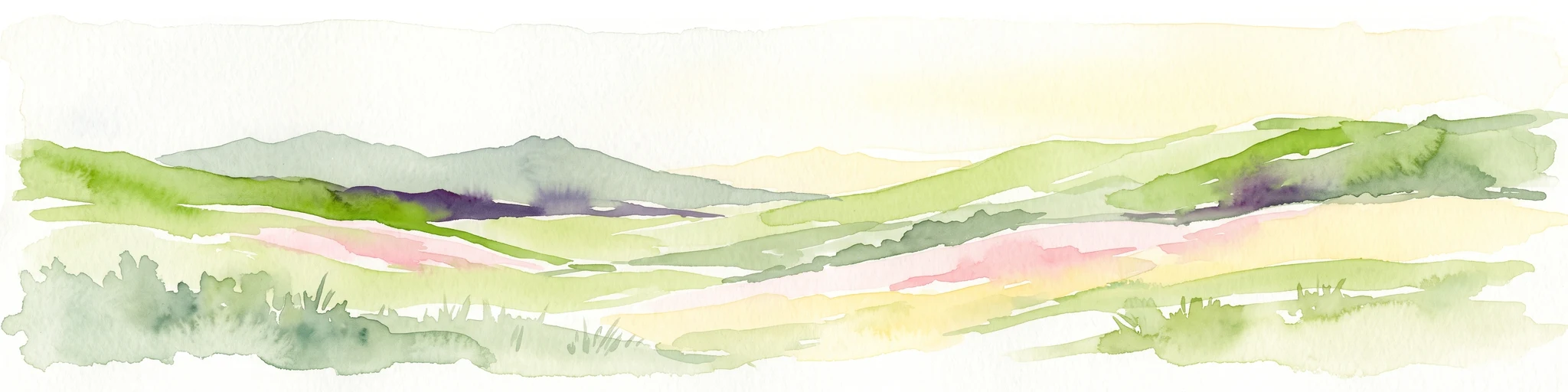
Watercolor painting of soft, layered mountain ranges behind green hills and patches of evergreen trees on a white background.
Protected landscapeColorado
30 km away#4 closest

East

Rio Grande National Forest: Atlas and Geographic Profile of a Southern Colorado Landscape

Watershed geography and Continental Divide terrain analysis.

Rio Grande National Forest represents an immense protected landscape encompassing diverse terrain from high desert steppe to rugged alpine peaks. This profile details the forest's hydrological significance as the source of the Rio Grande and its role as a massive ecological transition zone in the Mountain West. Examine the boundaries and mountain geography that define this critical protected area.

Area
7,500 km²
Established
1908
Relief
Mountain
Climate
Boreal
A horizontal watercolor painting depicting soft green rolling hills and distant mountains under a white sky.
Wildlife reserveColorado
47 km away#5 closest

East

Powderhorn Wilderness: A High-Elevation Protected Landscape in the San Juan Mountains

Basaltic plateaus and vast alpine tundra in Colorado

Powderhorn Wilderness protects a distinct highland environment in southwestern Colorado. Characterized by dark basaltic caprocks and deep glacial cirques, this area serves as a critical headwaters system for the Gunnison River, supporting a complex transition from sagebrush steppe to subalpine forest and wind-swept tundra. The geography remains largely defined by its volcanic heritage and the primitive character of its remote plateau summits.

Area
251.1 km²
Established
1993
IUCN
Ib
Relief
Mountain
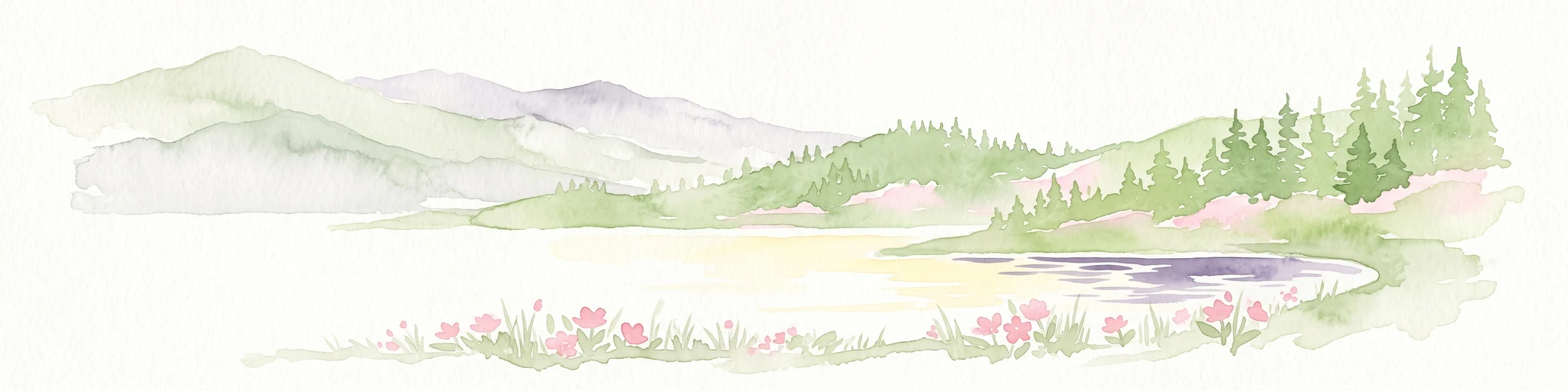
A pale watercolor painting showing a panoramic view of mountain ranges in the background, a coniferous forest on a small hill, and a meadow with wildflowers in the foreground.
Wildlife reserveColorado
54 km away#6 closest

East

La Garita Wilderness: Exploring the High Alpine Geography of Southern Colorado

Volcanic terrain and protected mountain wilderness atlas

La Garita Wilderness serves as a primary example of protected high-alpine geography in southern Colorado. This atlas entry examines the undulating volcanic ridges, glacial cirques, and alpine basins that define the area, including the prominent peak of San Luis. It highlights the integration of significant trail systems within this protected landscape, offering a clear perspective on the physical geography and conservation value of the La Garita mountain range.

Area
524.58 km²
Established
1964
IUCN
Ib
Relief
Mountain
National parkMontrose County
54 km away#7 closest

North

Black Canyon of the Gunnison National Park: Protected Area Geography and Mapped Landscape

Explore the natural terrain and protected boundaries in Montrose County.

Black Canyon of the Gunnison National Park is a national park defined by its profound geological features and its status as a protected landscape. Located within Montrose County, it offers a distinct geographic profile for atlas-based exploration. Users can understand the park's mapped boundaries, its relation to the surrounding regional geography, and the unique natural terrain that defines this protected area, contributing to a structured discovery of its natural landscape identity.

Area
124.4 km²
Established
1999
IUCN
II
Visitors
357.1K annual
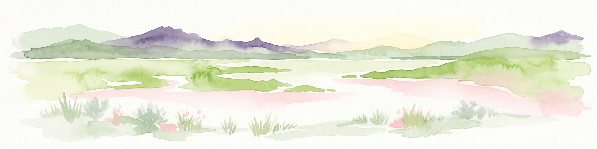
A minimalist watercolor illustration showing soft green hills, purple mountains in the background, and a reflective water body in the foreground.
Protected areaColorado
About 65 km away#8 closest

Northeast

Curecanti National Recreation Area: Mapped Geography and Protected Landscapes of Western Colorado

River-based recreation and volcanic canyon terrain

Curecanti National Recreation Area stretches across Gunnison and Montrose counties, serving as a primary water-based protected landscape in Colorado. The area preserves the geologic transitions from the broad expanse of Blue Mesa Reservoir to the granite-walled canyons of Morrow Point and Crystal, offering a deep look into the regional geography and historical infrastructure of the Gunnison basin.

Area
174.4 km²
Established
1965
Visitors
807.1K annual
Relief
Mountain
MoriAtlas Explorer

Begin Your Geographic Exploration of Mount Sneffels Wilderness

Examine the rugged topography and protected boundaries of Mount Sneffels Wilderness through our detailed geographic data. This MoriAtlas entry provides a foundational view of the alpine ridges, forested valleys, and basin structures that define this essential Colorado wilderness landscape.