
Why Mount Thielsen Wilderness stands out
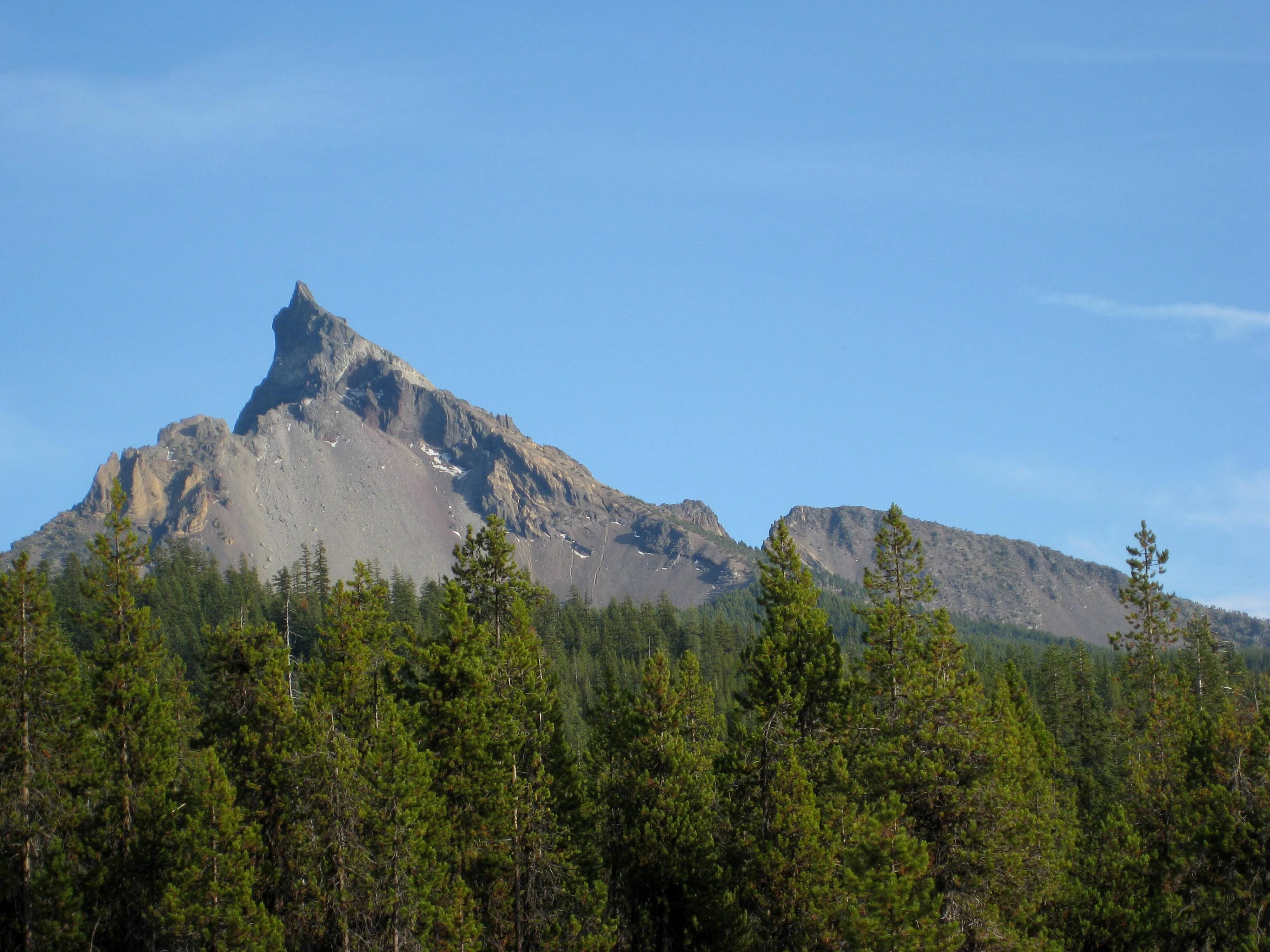
The wilderness is best known for Mount Thielsen itself, a glacially carved Cascade volcano often called the 'Lightning Rod of the Cascades' because its sharply pointed summit is frequently struck by lightning. This dramatic peak is the defining visual and geological landmark of the protected area. Beyond the mountain, the wilderness is also known for its sharp transition from lodgepole pine forests at lower elevations to mountain hemlock and fir forests higher up, ultimately reaching a timberline around 7,200 feet. The juxtaposition of a pointed volcanic spire, glacial terrain, and stratified forest zones creates a compact representation of southern Cascade ecology.
Mount Thielsen Wilderness history and protected-area timeline
Mount Thielsen Wilderness was formally established by the United States Congress in 1984 as part of the National Wilderness Preservation System. Its designation reflected growing recognition of the southern Cascade Range's geological and ecological value, particularly around the glacially carved volcanic peak of Mount Thielsen.
The wilderness spans land already administered by the U.S. Forest Service across Deschutes, Umpqua, and Fremont-Winema national forests. By bringing these forest sections together under a single wilderness designation, the 1984 act created a unified protected landscape around Mount Thielsen and its surrounding ridges and lakes.
The area's longer human and natural history is tied to the broader Cascade Range: indigenous presence in the surrounding lowlands, volcanic activity that shaped the peak, and glacial processes that carved its final form. Since 1984, the wilderness has been managed to preserve its undeveloped character in line with federal wilderness policy.
Mount Thielsen Wilderness landscape and geographic character
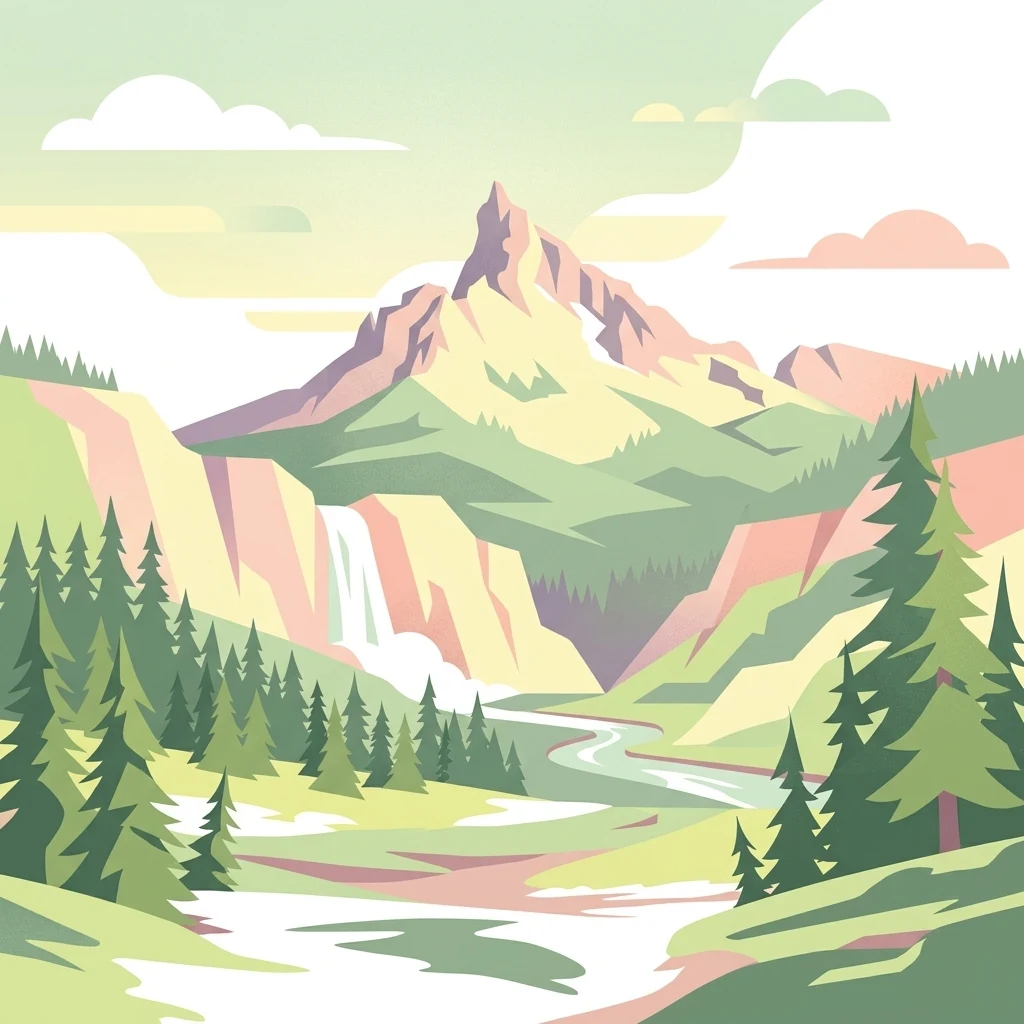
The landscape of Mount Thielsen Wilderness is dominated by a single striking feature: Mount Thielsen itself. The peak rises to 9,182 feet, and its sharply pointed summit is the result of glaciation rather than a typical volcanic cone shape. Because the summit is often struck by lightning, it has earned the nickname 'Lightning Rod of the Cascades,' a name that reflects both its form and its frequent electrical storms.
Below the peak, the terrain ranges from relatively gentle, forested lower slopes to very steep and sharply dissected ridges as the land rises toward the Cascade crest. Elevations span roughly 5,000 feet at the lower edge of the wilderness to over 9,000 feet at Mount Thielsen's summit, producing rapid transitions in terrain type within short horizontal distances.
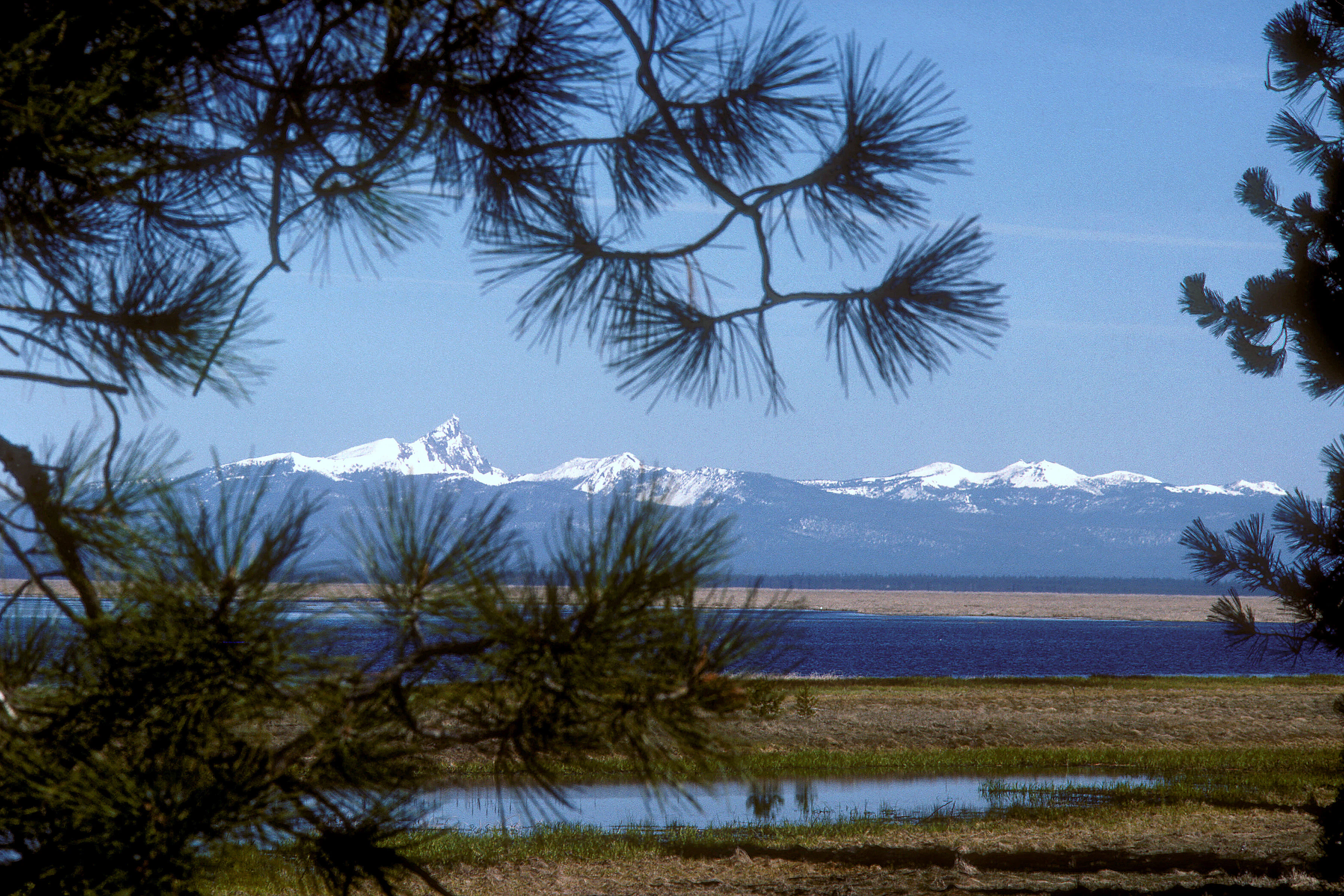
Glacial activity is the dominant geological force shaping the wilderness. Cirques, U-shaped valleys, and exposed ridges reveal how ice once moved through these mountains. Popular glacial lakes such as Lake Lucille and Maidu Lake occupy basins left behind after the ice retreated. The headwaters of the Wild and Scenic North Umpqua River emerge from Maidu Lake, linking the high country to longer river systems beyond the wilderness boundary.
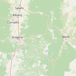
To the south, the wilderness borders Crater Lake National Park, extending the protected Cascade landscape into one of Oregon's most iconic volcanic regions. The combination of volcanic geology, glacial sculpture, alpine lakes, and steep ridges gives Mount Thielsen Wilderness a distinctive topographic identity within the southern Cascades.
Mount Thielsen Wilderness ecosystems, habitats, and plant life
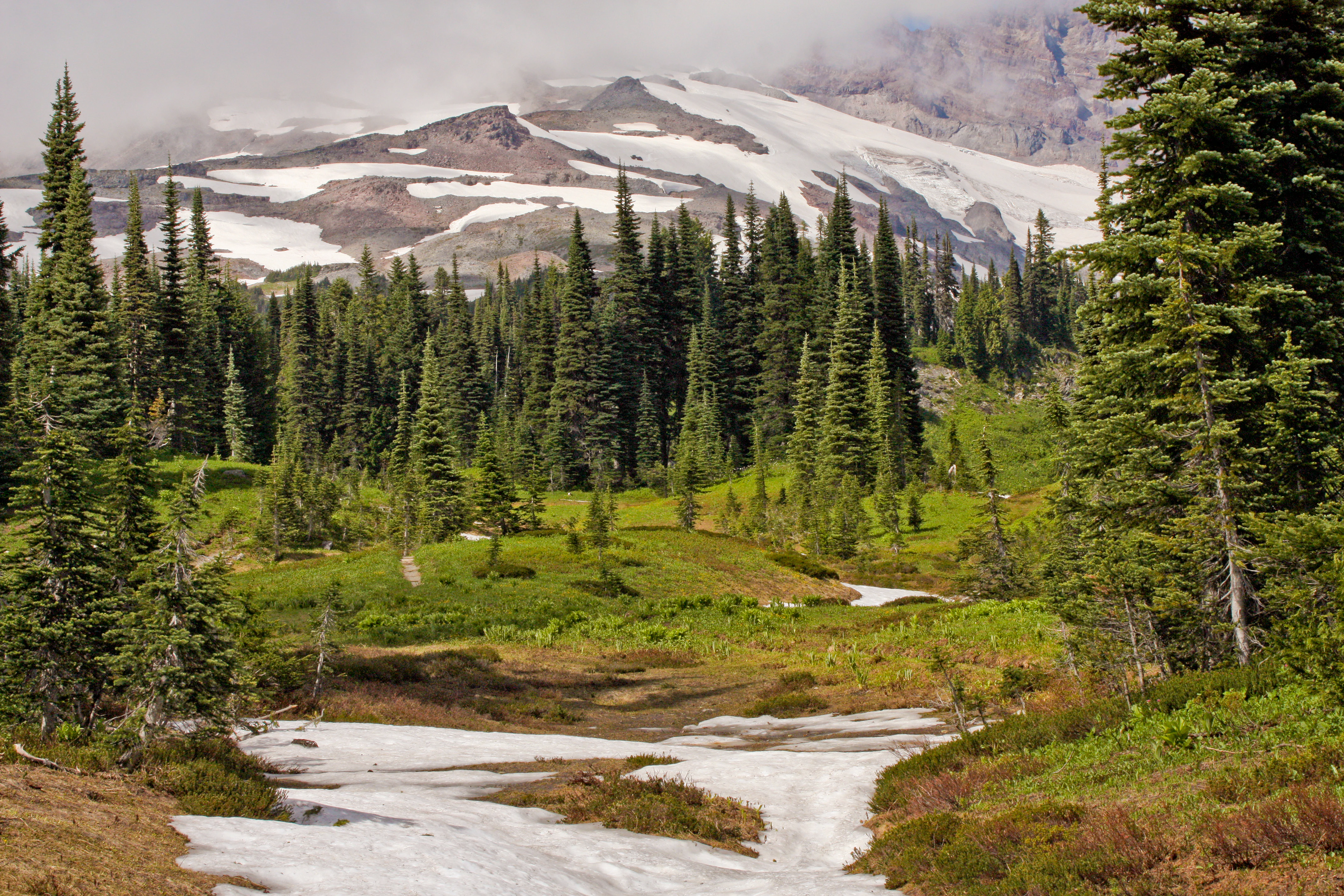
Mount Thielsen Wilderness protects a representative vertical slice of the southern Cascade Range, with ecological zones stacked from low-elevation forests up to an alpine timberline. This layering creates distinct habitat bands that change relatively quickly across elevation.
The lower portion of the wilderness is dominated by lodgepole pine forests, a hardy conifer well adapted to the Cascade volcanic soils and seasonal snowpack. Lodgepole stands give the lower wilderness a relatively open character in many areas, especially where natural fires or ecological thinning have shaped the forest over time.
Higher up the slopes, lodgepine transitions into a cooler and denser forest of mountain hemlock and true firs. This high-elevation forest zone is a hallmark of the Cascades, producing shaded, moist environments that contrast with the more open lower slopes. Above roughly 7,200 feet, trees thin out into subalpine and alpine zones, with the highest stretches near Mount Thielsen's summit reaching into open rock.
Wetland and aquatic habitats add another dimension to the wilderness. Lakes such as Lake Lucille and Maidu Lake, along with the headwaters of the North Umpqua River, provide freshwater habitat in a setting that is otherwise dominated by mountain slopes.
Mount Thielsen Wilderness wildlife and species highlights
The vertical range of habitats from low-elevation pine forests to high subalpine terrain supports a typical southern Cascade Range wildlife community. Species adapted to coniferous forests, montane environments, and alpine edges can all find suitable habitat within the relatively compact wilderness.
Mammals typical of Oregon's Cascades, including deer, elk, and various small forest mammals, use the lower and middle forest zones of the wilderness. Predators such as black bears and mountain lions may also range through the area, though direct encounters are uncommon.
Birdlife in the wilderness includes species associated with both lodgepole pine forests and higher-elevation mountain hemlock and fir forests. Coniferous forests in the Cascades are known for supporting woodpeckers, nuthatches, jays, owls, and various songbirds. The proximity to Crater Lake National Park and the larger Cascade ecosystem also means that wider-ranging species may pass through.
Around lakes and the headwaters of the North Umpqua River, aquatic and riparian species add another layer of biodiversity. Wetland edges and lakeshores are seasonally important for waterfowl and other birds, while these same waters support fish populations higher on the watershed.
Mount Thielsen Wilderness conservation status and protection priorities
Mount Thielsen Wilderness contributes to the long-term conservation of southern Cascade landscapes by protecting a steep, ecologically diverse mountain environment from logging, road building, and other forms of development. As a federally designated wilderness, it is managed to preserve its natural character and ecological processes.
Its conservation value is enhanced by its location within and across three national forests: Deschutes, Umpqua, and Fremont-Winema. This multi-forest setting allows the wilderness to function as a connective landscape rather than an isolated patch, especially in combination with adjacent Crater Lake National Park to the south.
The wilderness also plays a key role in watershed protection. The headwaters of the Wild and Scenic North Umpqua River originate at Maidu Lake within the wilderness, and protecting this upper watershed helps safeguard downstream water quality and habitat along a river that has been recognized for its outstanding scenic and recreational values.
Mount Thielsen Wilderness cultural meaning and human context
The Mount Thielsen Wilderness area lies within a broader Cascade landscape that has long held significance for indigenous peoples of southern Oregon, including groups connected to the Klamath and Umpqua regions. The mountain, lakes, and river headwaters within the wilderness have been part of regional indigenous relationships with the land for generations prior to federal designation.
In the modern era, the wilderness is more strongly associated with outdoor recreation culture than with permanent human settlement. Its trails, alpine lakes, and proximity to Crater Lake National Park make it part of a larger southern Oregon recreation corridor that draws hikers, climbers, and nature enthusiasts from across the Pacific Northwest and beyond.
Top sights and standout views in Mount Thielsen Wilderness
Mount Thielsen Wilderness is anchored by Mount Thielsen's glacially carved, lightning-prone summit, the tallest point in the wilderness. The wilderness's compact and sharply varied terrain makes it a strong representation of southern Cascade topography.
Lakes such as Lake Lucille and Maidu Lake anchor the middle elevations, while the headwaters of the Wild and Scenic North Umpqua River tie the wilderness into a larger Oregon river system. Approximately 78 miles of trail, including a stretch of the Pacific Crest Trail, weave through lodgepole pine, mountain hemlock, and fir forests before reaching the open high country. The southern boundary's connection to Crater Lake National Park adds further landscape significance.
Best time to visit Mount Thielsen Wilderness
Mount Thielsen Wilderness is best experienced in summer and early fall, when most of the snow has melted off the lower and middle elevations and trails are accessible without specialized winter gear. Summer months offer the most reliable conditions for reaching lakes such as Lake Lucille and Maidu Lake, and for climbing or approaching the higher ridges around Mount Thielsen.
Late spring can still bring significant snow cover at higher elevations, while winter transforms the wilderness into a snow-heavy alpine environment that is only suitable for experienced winter travelers. Fall generally brings crisp air, reduced crowds, and a more contemplative forest experience, with larch and other conifers adding seasonal character to the landscape.