
Mori Atlas logo
Park earthquake history

Review documented ground movement data associated with the broader southern Appalachian region.

Recorded Seismic Activity and Historical Earthquake Catalogue for Nantahala National Forest

This archival collection provides a transparent view of recorded earthquake events located within proximity to Nantahala National Forest. Each entry includes verified magnitude data, event timestamps, and epicentre distance calculations derived from geological survey records. The list serves as an objective reference for seismic history across this mountainous region of western North Carolina, tracking past occurrences without predictive intent.

An artistic, stylized illustration of a mountain stream flowing through a dense forest with trees, ferns, and rocky terrain under soft light.

The largest national forest in North Carolina, set in the misty ridges and deep gorges of the southern Appalachians.

Nantahala National Forest

Nantahala National Forest is the largest of the four national forests in North Carolina, covering a vast tract of mountains, valleys, and river gorges in the western part of the state. It lies within the Appalachian temperate rainforest and ranks as the second wettest region in the continental United States after the Pacific Northwest, giving the landscape its characteristic lush forests, abundant waterfalls, and clear trout streams. The forest takes its name from the Cherokee phrase meaning "Land of the Noonday Sun," a reference to the deep gorges where sunlight only reaches the valley floor near midday. This landscape forms part of the broader southern Appalachian Mountains and has been home to the Cherokee and their indigenous ancestors for thousands of years. Today the forest is a major conservation landmark, a destination for outdoor recreation, and a defining piece of western North Carolina's natural and cultural identity. Beyond its environmental significance, Nantahala is closely tied to American conservation history, with its formal establishment shaped by early twentieth century efforts to protect eastern forests that had been heavily logged. The forest now encompasses old-growth groves, designated wilderness areas, major long-distance hiking trails, and iconic rivers such as the Nantahala and the Hiwassee.

Location
United States of America
Park type
Protected landscape
Established
1920
Area
2,150 km²
Highest point
1,768 m
Nantahala National Forest Atlas

Search Nantahala National Forest events by date and distance

Review historical earthquake records near Nantahala National Forest

Investigate historical seismic events near Nantahala National Forest, a 2,150 km² terrestrial mountain landscape in the United States with major waters; the search keeps event location, date, magnitude, depth, locality, source, and forest distance reviewable. It does not assign epicentres to the protected boundary or derive causes, impacts, current hazard, or forecasts from its mountain and river setting.

Sort by
Magnitude
Location

This page describes catalogued earthquakes associated with the park by epicentre location and distance. It does not establish causation, assess current danger, or predict future earthquakes.

No earthquake records match the current filters

Park atlas

Continue beyond Nantahala National Forest earthquake records

Discover more protected parks after Nantahala National Forest

Nantahala National Forest earthquake records lead onward to an independently selected group of protected destinations. Their inclusion does not imply common forest designation, landscapes, geology, seismic history, geographic proximity, hazard, risk, or equal source coverage.
A soft watercolor illustration depicting a winding river, a small waterfall over layered rocks, and distant rolling mountains in muted green, blue, and brown tones.
Wildlife reserveUnited States of America
Park boundaries overlap#1 closest

Southeast

Ellicott Rock Wilderness: Geographic and Historic Protected Landscape Overview

A rare tri-state wilderness in the Southern Appalachian Mountains

Discover the mapped terrain of Ellicott Rock Wilderness, a protected area defined by its steep river gorges, dense cove forests, and unique position at the tripoint of three U.S. states. This wilderness area preserves the Chattooga River corridor and historic survey landmarks within the southern Blue Ridge Mountains, offering deep insight into the regional geography of the American southeast.

Area
33.48 km²
Established
1975
IUCN
Ib
Relief
Mountain
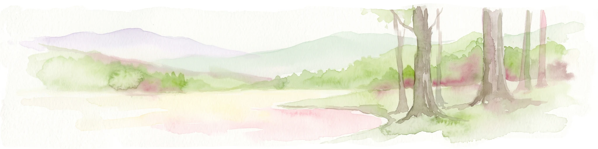
A horizontal watercolor painting showing a soft, impressionistic landscape with mature trees in the foreground, rolling green hills in the midground, and faded purple mountain silhouettes in the distance against a white background.
Wildlife reserveNorth Carolina
Park boundaries overlap#2 closest

West

Joyce Kilmer-Slickrock Wilderness: Mapped Topography and Protected Forest Boundaries

Old-growth Appalachian wilderness in North Carolina

Analyze the dramatic valley-and-ridge geography of the Joyce Kilmer-Slickrock Wilderness. This protected area, encompassing the rare Joyce Kilmer Memorial Forest, serves as a vital reference for eastern forest conservation, featuring ancient hardwood groves and sweeping mountain vistas across the Unicoi range.

Area
70 km²
Established
1975
IUCN
Ib
Relief
Mountain
Watercolor painting of a winding trail through grassy hills with mountains in the background, using a soft pastel color palette of greens, purples, and yellows.
Protected landscapeNorth Carolina
Park boundaries overlap#3 closest

East

Pisgah National Forest: Protected Appalachian Mountain Geography and Regional Mapping

An extensive mountain forest in western North Carolina

Pisgah National Forest represents a major protected landscape in the southern Appalachian Mountains of North Carolina. Its diverse terrain includes high peaks above 6,000 feet, dense hardwood forests, and deep river gorges. Recognized as a historic center for professional forestry, the area protects extensive watersheds and wilderness zones, offering a detailed case study in Appalachian geography, conservation science, and rugged mountain topography.

Area
2,075.06 km²
Established
1916
Relief
Mountain
Climate
Temperate
Protected landscapeSouth Carolina
Park boundaries overlap#4 closest

East

Sumter National Forest: Mapping Protected Landscapes and Terrain in South Carolina

Bridging Piedmont forests and Appalachian mountain foothills

Sumter National Forest offers a study in geographic contrast, as its three districts span the transition from South Carolina Piedmont ridges to the rugged spurs of the Blue Ridge Mountains. This protected area features the Chattooga Wild and Scenic River corridor, expansive hardwood-conifer mosaics, and complex mountain watersheds. The forest provides a window into regional land restoration, where reclaimed farmland and mountain ridges now form a continuous network of protected natural terrain.

Area
1,500.98 km²
Established
1936
Relief
Mixed relief
Climate
Temperate
National parkTennessee
0.1 km away#5 closest

North

Great Smoky Mountains National Park: Exploring Its Protected Landscape and Regional Geography

Tennessee's premier national park, mapped for landscape discovery.

Delve into the protected area identity of Great Smoky Mountains National Park, a significant natural landmark within Tennessee. This page provides detailed context on its mountainous terrain, mapped ecological zones, and its foundational role in the broader geography of eastern North America. Understanding the park's specific protected landscape features and its geographic setting is essential for appreciating its unique conservation value.

Area
2,114.15 km²
Established
1934
IUCN
II
Visitors
12.2M annual
A pale, abstract watercolor painting depicting gentle, tree-covered mountain ridges against a white background.
Wildlife reserveNorth Carolina
0.2 km away#6 closest

East

Middle Prong Wilderness: High-Elevation Appalachian Forest and Watershed Geography

Rugged ridges and headwaters in the Pisgah National Forest

Middle Prong Wilderness encompasses nearly 7,900 acres of protected southern Appalachian terrain. This rugged landscape, ranging from deep valley floors to wind-swept high-elevation ridges, serves as a vital protected corridor adjacent to Shining Rock Wilderness, showcasing a complex mosaic of hardwood and spruce-fir forest ecosystems within the Blue Ridge Mountains.

Area
32 km²
Established
1984
IUCN
Ib
Relief
Mountain
Wildlife reserveTennessee
18 km away#7 closest

West

Gee Creek Wilderness: Geographic Atlas of an Appalachian Forested Wildlife Reserve

Protected mountain terrain in the Tennessee foothills

Gee Creek Wilderness is a federally protected area in southeastern Tennessee characterized by its small, roadless footprint and rich Appalachian forest composition. The reserve showcases the dramatic intersection of forested ridgelines and stream-carved valleys, providing a concentrated look at the ecological character of the Cherokee National Forest's lower Appalachian zone.

Area
10.09 km²
Established
1975
IUCN
Ib
Relief
Upland
A pale, minimalist watercolor painting showing layers of soft green hills and a gentle stream against a white background.
Wildlife reserveGeorgia
29 km away#8 closest

Southwest

Raven Cliffs Wilderness: Exploring the Appalachian Ridges and Protected Forest Landscapes

High-elevation wilderness area in northern Georgia.

Spanning steep ridges and narrow valleys, Raven Cliffs Wilderness represents a significant protected area within the Chattahoochee National Forest. The landscape transitions from high, exposed ridgelines to dense hardwood forest, offering a compact yet varied study in Appalachian mountain geography.

Area
36.89 km²
Established
1986
IUCN
Ib
Relief
Mountain
MoriAtlas Explorer

Continue Exploring the Geographic Boundaries of Nantahala National Forest

Gain a deeper understanding of the Nantahala National Forest through this structured geographic profile. MoriAtlas provides detailed insight into the forest's rugged Appalachian terrain, protected water corridors, and regional landscape context. Use these resources to visualize the mountain ridges and river systems that define this major conservation area in North Carolina.

Global natural geography