
Mori Atlas logo
Nature reserveNaturschutzgebitt Aarnescht

Tracing the calcareous dry grasslands and unique Keuper geological formations within this historic nature reserve

Naturschutzgebitt Aarnescht Nature Reserve; A Protected Landscape and Geographic Atlas of Luxembourg

Naturschutzgebitt Aarnescht serves as a critical nature reserve in central-eastern Luxembourg, preserving a significant mosaic of calcareous dry grasslands, known as Halbtrockenrasen, alongside traditional orchards and forest remnants. Situated on sun-exposed slopes near Oberanven, the reserve protects nutrient-poor, lime-rich soils that support an exceptional concentration of orchids and diverse ecological communities. This geography-focused profile maps the terrain and habitat structures that define the reserve, emphasizing its role as a foundational site for conservation research and its distinct position within the Luxembourgish landscape.

luxembourgnature reservecalcareous grasslanddry grasslandorchid habitattraditional orchards
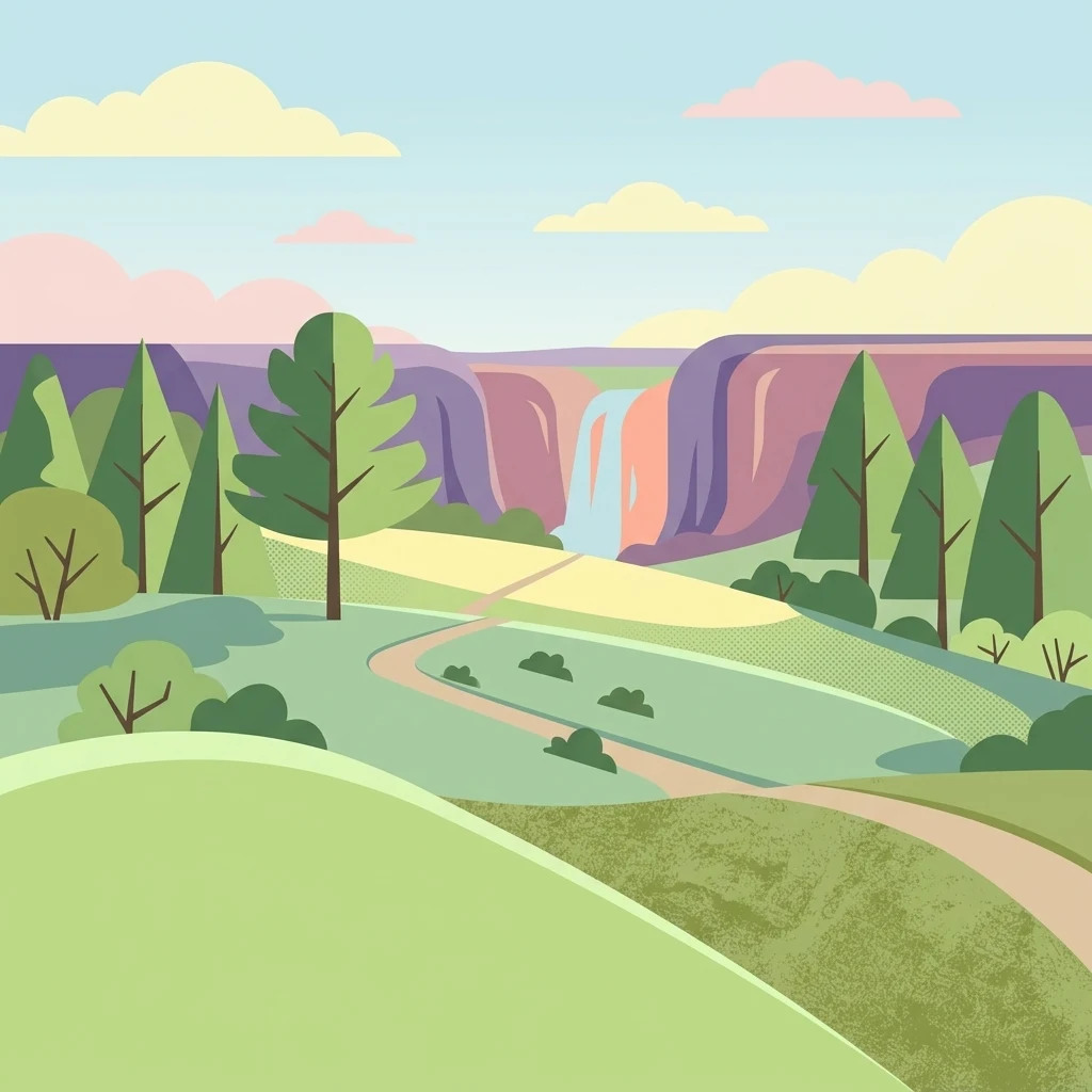
A flat-style digital illustration of a park landscape featuring green hills, scattered trees, a dirt trail winding through the center, and a waterfall flowing over cliffs in the distance under a pale blue sky.

Naturschutzgebitt Aarnescht

Nature reserve

Park overview

Structured park overview, official facts, and landscape profile for Naturschutzgebitt Aarnescht

Naturschutzgebitt Aarnescht park facts, protected area profile, and essential visitor context

Review the core facts for Naturschutzgebitt Aarnescht, including designation, size, terrain, visitor scale, habitats, and operating context in one park-focused overview.

About Naturschutzgebitt Aarnescht

Naturschutzgebitt Aarnescht is a small but ecologically rich nature reserve in central-eastern Luxembourg, situated in the commune of Niederanven near the village of Oberanven. As one of Luxembourg's earliest nature reserves, it represents an important early milestone in the country's modern conservation framework and is often cited as a reference site for calcareous grassland protection.

The reserve sits on a sunny slope in the heart of what was once the Niederanven cultural landscape. Its underlying geology is unusually varied for the region, shifting from Luxembourg Sandstone into Keuper sediments. Most of the protected area lies on Steinmergelkeuper, a rock layer about 200 million years old that weathers into the shallow, calcareous, nutrient-poor soils typical of the site. These soils, combined with strong exposure to sunlight and heat-storing slopes, support a remarkably varied plant community.

Ecologically, Aarnescht is anchored by its dry and semi-dry calcareous grasslands, which concentrate a large part of the site's botanical value. These open habitats are framed by traditional orchards to the southwest, oak low-forest and oak forest edge communities, beech stands, and pine and spruce woodlots on the plateau. Pipe-grass wet meadows have developed in the wetter parts of the reserve and along erosion gullies, adding another distinct habitat layer.

Culturally, the reserve is closely tied to the biologist and botanist Léopold Reichling, who recognized the area's richness in the 1970s. His publications directly informed the classification dossier that led to formal protection. A memorial dedicated to Reichling stands near the information pavilion, and a 4 km nature trail developed in 2003, with around sixteen interpretive panels across eight stations, allows visitors to explore the reserve's habitats, history, and cultural landscape context.

Quick facts and research context for Naturschutzgebitt Aarnescht

Naturschutzgebitt Aarnescht is a protected area of approximately 75 hectares located near Oberanven in the commune of Niederanven, Luxembourg. It was first placed under formal national protection on 18 March 1988, and is recorded as one of the country's earliest nature reserves.

The site's underlying geology shifts sharply from Luxembourg Sandstone to Keuper sediments, with the reserve itself sitting largely on Steinmergelkeuper, a layer roughly 200 million years old. This produces the shallow, calcareous, nutrient-poor soils that support calcareous grasslands, while the warmer south-facing slopes sustain an unusually rich flora. Aarnescht is particularly celebrated for hosting roughly 20 orchid species and a wide variety of associated grassland wildlife.

Protection and recognition

Documented terrestrial protection scope and management timeline established in 1988

Naturschutzgebitt Aarnescht Protection Status and Designation History

Naturschutzgebitt Aarnescht preserves a documented terrestrial protection status established in 1988. Review the official designation history and management scope details to understand regional conservation context.

Protection details

Protection scope
Terrestrial
Designated year
1988
Transboundary protection
No
Core area
0.48 km²
Buffer area
0.27 km²
Park context

Deeper park guide and search-rich context for Naturschutzgebitt Aarnescht

Naturschutzgebitt Aarnescht history, landscape, wildlife, and travel context

Explore Naturschutzgebitt Aarnescht through its history, landscape character, ecosystems, wildlife, conservation priorities, cultural context, and seasonal travel timing in a structured park guide built for atlas discovery and search intent.

Why Naturschutzgebitt Aarnescht stands out

Aarnescht is best known for its species-rich calcareous dry grasslands, often referred to as Halbtrockenrasen, which support an exceptional concentration of orchids within a small protected area. Around 20 orchid species have been recorded here, representing a major share of Luxembourg's native orchid flora. Beyond the orchids, the reserve is recognized for the broader ecological mosaic that surrounds them: traditional orchards, oak low-forest remnants, beech and pine stands, and pipe-grass wet meadows in erosion gullies. This diversity, combined with a long history of scientific study led by Léopold Reichling, gives Aarnescht a strong reputation as a key reference site for calcareous grassland conservation in Luxembourg.
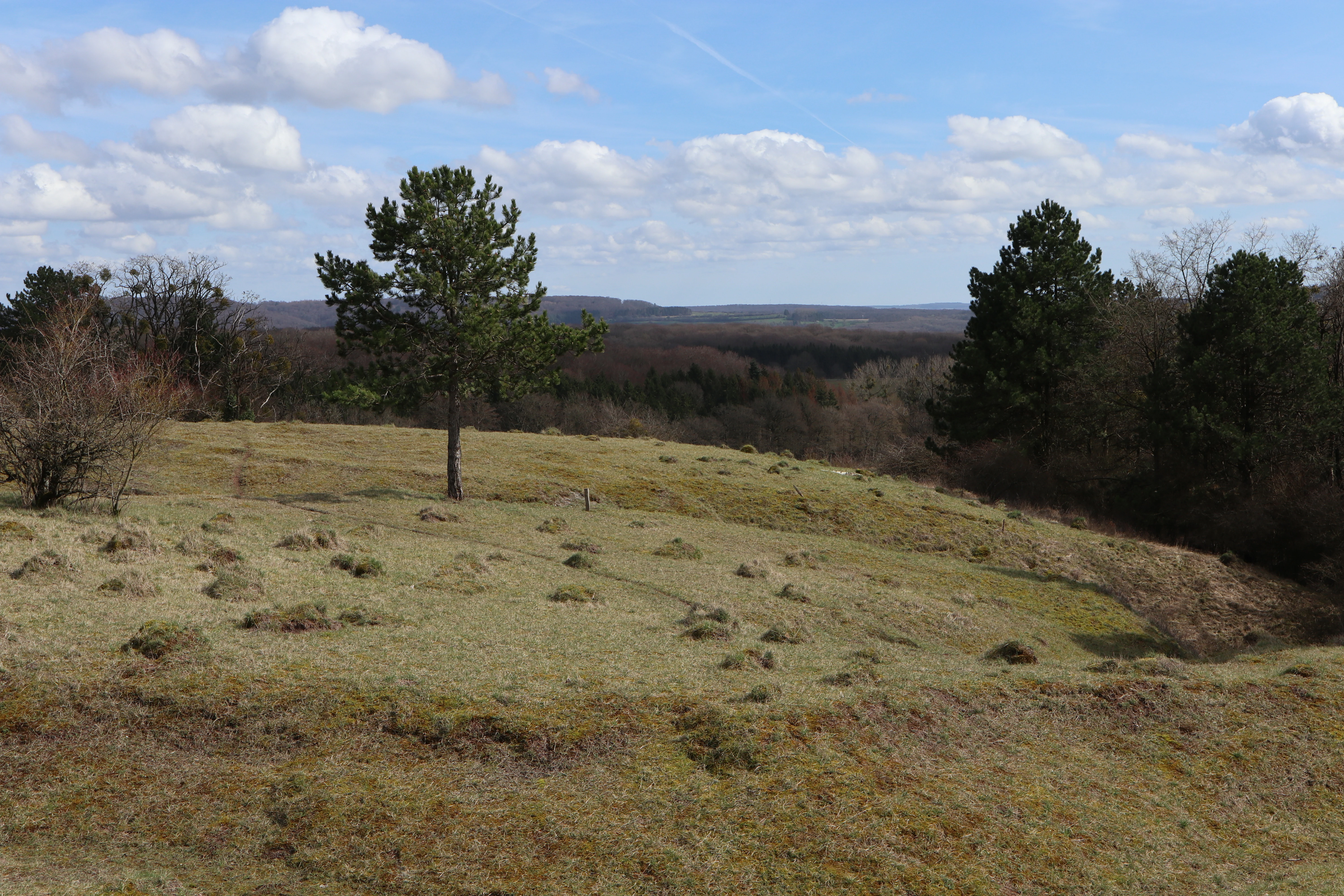
A wide view of a sloping, grassy meadow with sparse trees and distant forest under a blue, partly cloudy sky.
A view of the semi-dry grasslands characteristic of the Aarnescht nature reserve.

Naturschutzgebitt Aarnescht history and protected-area timeline

The history of Naturschutzgebitt Aarnescht is closely linked to the scientific work of Professor Léopold Reichling, who recognized the area's exceptional plant and animal diversity during research in the 1970s. Reichling's publications became the foundation for the official classification dossier that ultimately led to formal protection.

On 23 June 1973 the site was included in the supplementary inventory of classified monuments, an early step in recognizing its heritage and natural value. Formal nature reserve status followed years later, when the area was placed under national protection through the Grand Ducal regulation of 1 February 1988, creating an initial core zone of around 48 hectares and a buffer zone of about 27 hectares.

Today Aarnescht is counted among Luxembourg's earliest designated nature reserves, a distinction that reflects both the long awareness of its ecological importance and the role Reichling's pioneering research played in shaping Luxembourg's approach to protecting calcareous grasslands. A monument commemorating Reichling was inaugurated at the reserve in June 2011, anchoring the site's place in the country's conservation history.

Naturschutzgebitt Aarnescht landscape and geographic character

The landscape of Aarnescht is defined by a sunny, gently sloping hillside northeast of the village of Oberanven. The reserve sits at elevations between roughly 300 and 360 metres within Luxembourg's general leveling system, on terrain shaped by an unusual local geological transition from Luxembourg Sandstone to Keuper sediments.

Most of the protected area lies on Steinmergelkeuper, a relatively soft rock layer that weathers into shallow, calcareous, nutrient-poor soils. Erosion by water and wind has gradually uncovered the calcareous base of the site, while small patches of younger sandstone layers still survive in the extreme northern part of the reserve. The result is a landscape of thin, dry, lime-rich soils that absorb and store heat efficiently, ideal for calcareous grassland species.

Above and around these open slopes, the broader landscape composition includes a mosaic of habitat types. Calcareous dry grasslands dominate the centre and southern part of the reserve, traditional orchards cover much of the southwestern slope forming the buffer zone, and the plateau above carries oak low-forest mixed with beech, pine, and spruce stands. A heat-loving oak forest edge sits beside the oak low-forest, while pipe-grass wet meadows occupy the wetter depressions and erosion gullies, giving the reserve a varied, multi-textured topography.

Naturschutzgebitt Aarnescht ecosystems, habitats, and plant life

The nature of Aarnescht centres on a finely balanced mosaic of calcareous grassland habitats, traditional orchard systems, and forest communities. At its ecological core are the Halbtrockenrasen, semi-dry calcareous grasslands whose shallow, lime-rich soils host their characteristic low-growing, stress-tolerant plant communities.

These grasslands emerged only through long human influence: the original forest cover was cleared historically and replaced by meadows and pastures. Without regular management, the open grasslands would slowly revert through scrub to a locally adapted oak forest. To preserve them, conservation work regularly removes young black pines and aggressive shrubs such as blackthorn, allowing the more delicate, competition-weak species to persist.

Surrounding the grasslands, traditional orchards play an important ecological role as part of the buffer zone, providing old fruit trees with cavities and bark features used by specialist species. Oak low-forest, oak forest edge, beech, pine, and spruce stands occupy the plateau, while pipe-grass dominated wet meadows occupy the moist depressions and erosion gullies. This combination of dry and wet microhabitats gives Aarnescht its broad ecological character within a relatively small area.

Naturschutzgebitt Aarnescht wildlife and species highlights

The wildlife of Aarnescht reflects the richness of its flower-rich grasslands and traditional orchards. The dry meadows and surrounding habitats support a notably diverse insect fauna, including more than 130 butterfly species, around 22 cricket and grasshopper species, over 100 bug species, and roughly 48 moth species.

This abundance of insects in turn supports several birds of prey, including the Eurasian hobby and the European honey buzzard, both of which hunt over the reserve. In the orchards, the old fruit trees offer nesting cavities and foraging opportunities for species such as the Eurasian wryneck and the little owl, while the same orchards host small mammals like the European hedgehog, the hazel dormouse, the garden dormouse, and the edible dormouse.

Larger mammals also use the reserve, with the European badger recorded on the site. Open-ground species typical of low-intensity farmland and grassland, including the European hare and the grey partridge, have become rare elsewhere in Luxembourg but still find refuge on the Aarnescht slopes.

Naturschutzgebitt Aarnescht conservation status and protection priorities

Aarnescht holds an important place in Luxembourg's conservation history as one of the country's earliest formally designated nature reserves. Its protection rests on the Grand Ducal regulation of 18 March 1988, which established a core zone of roughly 48 hectares and a surrounding buffer zone of about 27 hectares, for a total protected area of around 75 hectares.

The reserve's conservation value lies in its concentration of calcareous dry grassland, an internationally recognized habitat type that supports many specialized plant and insect species. Roughly 63 percent of Luxembourg's orchid flora has been recorded here, a striking figure for a site of this size. The grassland itself is a cultural product, dependent on regular mowing or grazing; without active management it would gradually be lost to scrub and woodland succession.

Management of the reserve is carried out in cooperation with naturalist associations such as the Amicale de l'Aarnescht, forestry authorities, and the commune of Niederanven. Key tasks include controlling invasive woody growth such as young black pine and blackthorn to maintain open grassland, conserving the traditional orchard buffer zone, and maintaining the reserve's nature trail and interpretive infrastructure for visitor education.

Naturschutzgebitt Aarnescht cultural meaning and human context

Aarnescht is closely woven into the surrounding cultural landscape of Niederanven, with its protected grasslands themselves a product of centuries of traditional land use. The open calcareous meadows exist because the area was once cleared of forest and managed as hay meadow and pasture, a pattern that has shaped much of central Luxembourg's farmed countryside.

Traditional orchards on the southwestern slopes form a major part of the reserve's buffer zone, preserving not only biodiversity but also a piece of regional orchard heritage. A memorial to the biologist and botanist Léopold Reichling, inaugurated in June 2011 near the information pavilion, ties the site's cultural memory to the researcher whose 1970s work first revealed its ecological significance.

A 4 km nature trail completed in 2003, developed jointly by the Amicale de l'Aarnescht, the forestry administration, and the commune of Niederanven, extends this cultural dimension by interpreting the reserve's habitats, its landscape history, and its role in Luxembourg's broader natural heritage.

Top sights and standout views in Naturschutzgebitt Aarnescht

Aarnescht stands apart as one of Luxembourg's earliest designated nature reserves and as a reference site for calcareous dry grassland conservation in the country. Its combination of species-rich orchids, flower-filled meadows, traditional orchards, and small-scale forest mosaic gives it an unusually concentrated ecological value within a compact protected area.

The reserve is also notable for its strong interpretive infrastructure, from the dedicated nature trail and information panels developed in 2003 to the Reichling memorial, helping connect the site's scientific, cultural, and natural heritage for visitors and researchers alike.

Best time to visit Naturschutzgebitt Aarnescht

Aarnescht rewards visits that align with its ecological highlights. Late spring and early summer are typically the most rewarding period for visitors interested in orchids and other flowering plants of the calcareous grasslands, when semi-dry meadows are at their brightest and insect activity is increasing.

Autumn offers a quieter atmosphere with softer light over the orchards and surrounding hills, while the nature trail and interpretive panels can be enjoyed across much of the year as long as paths are accessible. Cold winter months tend to be quieter, with limited floral display but a calm atmosphere for walking the reserve's lower-intensity landscapes.

Monthly climate preview

Long-term representative point measurements for monthly temperature and precipitation patterns

Naturschutzgebitt Aarnescht Climate Normals and Annual Temperature Rhythm

Naturschutzgebitt Aarnescht experiences measured mean monthly temperatures ranging from 0.41 degrees Celsius in January to 19.12 degrees Celsius in July alongside steady precipitation. Examining the full twelve-month dataset clarifies the long-term temperature progression and precipitation averages across the protected area.
Annual mean9 °C
0 °C19 °C
Jan
Feb
Mar
Apr
May13°
Jun17°
Jul19°
Aug19°
Sep14°
Oct
Nov
Dec
Warmest month
July

19.1 °C

Coolest month
January

0.4 °C

Wettest month
December

2.7 mm/day

Driest month
April

1.6 mm/day

Park location guide

Geography guide, regional context, and park location map for Naturschutzgebitt Aarnescht

Naturschutzgebitt Aarnescht park geography, regions, and map view in Luxembourg

Understand where Naturschutzgebitt Aarnescht sits in Luxembourg through a broader geographic reading of the surrounding landscape, nearby location context, and its mapped position within the national park landscape.

How Naturschutzgebitt Aarnescht fits into Luxembourg

Luxembourg is a small landlocked nation in Western Europe and the world's only grand duchy. It borders Belgium, Germany, and France, with Luxembourg City as its capital and largest city. The country has one of the highest GDP per capita figures globally and hosts several EU institutions, notably the Court of Justice. Its population of nearly 700,000 is multinational, with Luxembourgish as the national language and French and German as administrative languages.

Wider geography shaping Naturschutzgebitt Aarnescht in Luxembourg

Luxembourg is located in Western Europe, landlocked between Belgium to the west and north, Germany to the east, and France to the south. The terrain consists largely of forested uplands and plains in the Oesling region to the north, with the Gutland region in the south featuring more fertile land. The country covers 2,586 square kilometres, making it Europe's seventh-smallest nation.

Map view of Naturschutzgebitt Aarnescht

Use this park location map to pinpoint Naturschutzgebitt Aarnescht in Luxembourg, understand its exact geographic position, and read its mapped placement within the surrounding landscape more clearly.

Pigeon | © OpenStreetMap contributors

Explore the unique terrain, calcareous dry grasslands, and varied environmental mosaic of a central Luxembourg nature reserve.

Naturschutzgebitt Aarnescht Photos and Scenery: Visualizing Protected Landscapes and Habitats

Examine high-resolution photographs of Naturschutzgebitt Aarnescht to understand its rare calcareous dry grasslands, traditional orchards, and forest edges. Visual documentation reveals the distinct topography and habitat diversity that define this protected landscape.

A wide view of a sloping, grassy meadow with sparse trees and distant forest under a blue, partly cloudy sky.

A wide, elevated landscape view featuring rolling green hills, patches of forest, and hedgerows under a bright sky.

Park atlas

Compare regional protected areas and discover connected natural terrain across central Luxembourg

Explore Other Parks Near Naturschutzgebitt Aarnescht and Surrounding Protected Landscapes

Browse other parks near Naturschutzgebitt Aarnescht to compare calcareous dry grasslands and surrounding regional topography. Extending exploration beyond individual reserves reveals broader protected landscapes and diverse ecological networks across the region.
Nature reserveLuxembourg
Mapped park locations coincide#1 closest

Cornelysmillen-Schucklai Nature Reserve: Geographic and Protected Area Overview

Wetland ecosystems on the Luxembourg plateau

Cornelysmillen-Schucklai serves as a key protected area of national interest, encompassing a mosaic of marshland, meadows, and deciduous woodland. This reserve acts as a vital corridor for moisture-dependent plant communities and threatened bird populations, defining the hydrological character of the plateau region with its intricate stream systems and restored pond basins.

Area
1.437 km²
Established
2023
Relief
Upland
Climate
Temperate
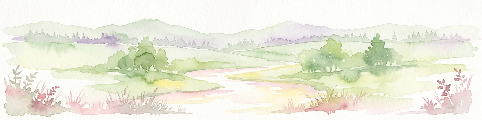
A horizontal watercolor painting depicting a gentle river flowing through a soft green landscape with trees and distant rolling hills.
Nature reserveLuxembourg
About 5.4 km away#2 closest

South

Naturschutzgebitt Birelergronn Nature Reserve: Luxembourg Protected Valley Geography

A sandstone valley landscape in central Luxembourg.

Naturschutzgebitt Birelergronn encompasses a 270 hectare nature reserve in Luxembourg, recognized for its complex hydrological features and historic milling valley structure. The area highlights the geological significance of the Luxembourg Sandstone, supporting diverse alluvial forests and the expansive Neimillen wetland complex which defines the regional ecosystem.

Area
2.717 km²
Established
1999
Relief
Upland
Climate
Temperate
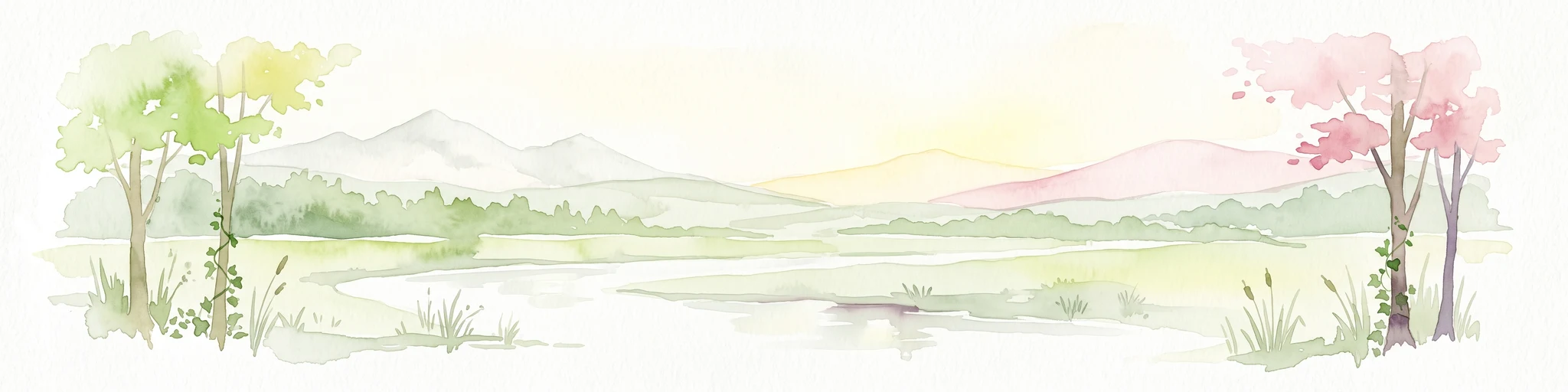
A soft watercolor painting of a landscape featuring a small river or pond in the center, flanked by green trees on the left and pink-flowered trees on the right, with low hills in the distance.
Nature reserveLuxembourg
About 12 km away#3 closest

East

Naturschutzgebitt Kelsbaach Nature Reserve: A Geographical Overview of Luxembourg Landscapes

Dolomite rock formations and protected dry grassland ecosystems

Naturschutzgebitt Kelsbaach preserves a distinctive environmental gradient across the Moselle valley hillsides in Luxembourg. From exposed dolomite cliffs and arid plateau grasslands to the shaded Kelsbaach stream gorge, the reserve illustrates the complex interplay of regional geology and microclimate. This protected area offers a precise look at local biodiversity habitats and the lasting impact of historical land use on the natural terrain.

Area
0.755 km²
Established
1998
Relief
Upland
Climate
Temperate
Nature reserveRheinland-Pfalz
About 15 km away#4 closest

East

Langheck bei Nittel Nature Reserve: A Detailed Atlas of Protected Moselle Landscapes

Ecological geography and calcareous grassland habitat in Rheinland-Pfalz

Langheck bei Nittel is a significant nature reserve located in the Upper Moselle valley of Germany. The site protects a rare mosaic of calcareous dry grasslands, shrubbery, and forest edges that host a high concentration of orchid species. As a critical component of the regional biotope network, it offers insight into the conservation of warm-loving flora and the management of stony, nutrient-poor landscapes.

Area
0.42 km²
Established
1998
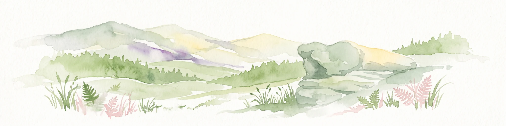
A soft watercolor illustration featuring distinctive sandstone rock formations in the foreground with rolling hills and a forested landscape in the distance.
Nature reserveNoumer
About 16 km away#5 closest

North

Eechelbuer-Lock: Protected Sandstone Plateau and Archaeological Landmark in Central Luxembourg

A unique nature reserve in the Noumer region with rare geological formations.

Eechelbuer-Lock serves as a vital protected landscape that blends geological oddity with archaeological depth. Located in Noumer, this sandstone plateau hosts the iconic Champignon rock and provides essential habitats for dry heath and juniper thickets. The site offers a clear view into central Luxembourg's protected geography, featuring a trapezoidal expanse where ancient stone carvings and prehistoric occupation sites remain preserved within the modern nature reserve boundaries.

Established
1972
Relief
Upland
Climate
Temperate
Scope
Terrestrial
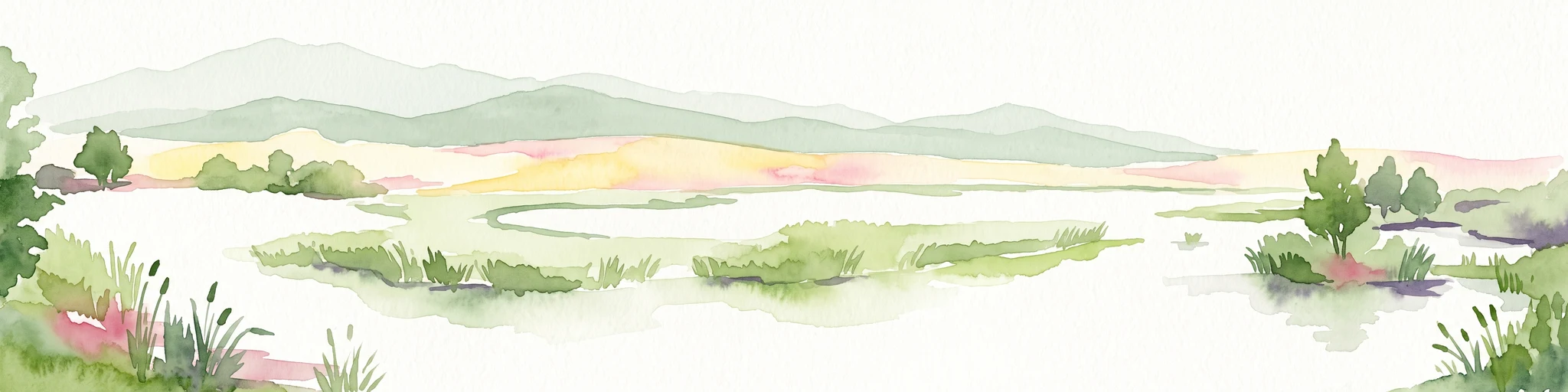
A horizontal watercolor painting of a wetland scene with still water, grassy banks, small islands, and rolling hills in the background.
Nature reserveSchengen
About 18 km away#6 closest

Southeast

Haff Réimech Nature Reserve: Wetland Geography and Protected Landscape in Schengen

Reclaimed industrial wetlands in the Moselle river valley

Haff Réimech is a protected wetland sanctuary located in the Moselle valley near Schengen. The reserve features approximately forty shallow lakes created from former sand and gravel pits, now surrounded by reedbeds and riparian woodland. This mosaic landscape serves as a key site for migratory bird species, demonstrating a unique transition from industrial extraction to a managed, ecologically rich floodplain environment.

Area
1.008 km²
Established
1998
Relief
Lowland
Climate
Temperate
Nature reserveLuxembourg
About 18 km away#7 closest

Southwest

Beetebuerger Bësch: Nature Reserve and Protected Woodland Mapping in Luxembourg

A crucial reference site for forest ecology in southern Luxembourg

Beetebuerger Bësch stands as a designated nature reserve within the communes of Bettembourg, Leudelange, and Roeser. This protected forest landscape is managed to allow natural woodland development, providing researchers and visitors with a view of old growth dynamics, saproxylic invertebrate habitats, and restored riparian zones along the Koleschgriecht stream.

Area
2.373 km²
Established
2005
Relief
Lowland
Climate
Temperate
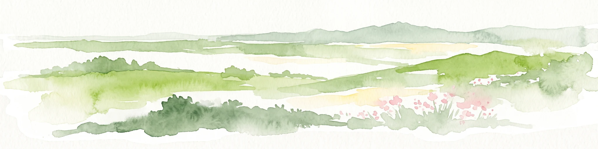
Watercolor painting of a green, rolling hillside landscape with faint pink floral details in the foreground.
Nature reserveRheinland-Pfalz
About 20 km away#8 closest

East

Perfeist bei Wasserliesch: Protected Grassland and Botanical Mapping in Rheinland-Pfalz

A regional sanctuary for rare orchids and calcareous meadow flora.

Perfeist bei Wasserliesch represents a significant protected area within the German Moselle landscape. Spanning 22 hectares of dry, sun-exposed calcareous soil on the Liescher Berg, the reserve offers a focused look at open grassland ecology. Its unique status as a botanical reference point highlights how small-scale protected land maintains rare plant species and fragile meadow habitats against the backdrop of the surrounding Moselle valley hill country.

Area
0.22 km²
Established
1986

Common questions about visiting, size, designation, and location context for Naturschutzgebitt Aarnescht

Naturschutzgebitt Aarnescht FAQs for park facts, access, geography, and protected area context

Find quick answers about Naturschutzgebitt Aarnescht, including protected-area facts, park geography, trail and visitor context, and how the park fits into its surrounding country and regional landscape.
MoriAtlas Explorer

Continue Your Protected Areas Search Across the Global Atlas

Deepen your exploration by continuing the structured search for national parks and protected areas worldwide. Utilize the comprehensive filtering capabilities to compare different conservation landscapes and refine your understanding of global park geography. Discover more about the distribution and characteristics of protected natural areas.

Global natural geography