Mori Atlas logo
Park earthquake history

Review documented seismic events, magnitudes, and geographic associations within the regional marine landscape.

Historical Earthquake Records and Recorded Seismic Activity for Olympic Coast National Marine Sanctuary

This catalogue provides a transparent view of recorded earthquake activity associated by proximity to the Olympic Coast National Marine Sanctuary. Each entry includes verified historical data such as date, event magnitude, focal depth, and calculated distance from sanctuary boundaries. This repository facilitates regional geographic study by organizing seismic records for professional and educational research regarding the Pacific offshore environment.

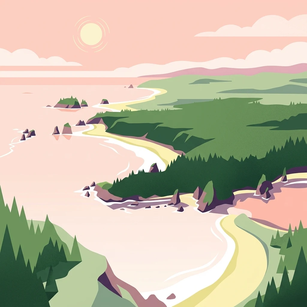
A flat-style digital illustration of a Pacific coastline with sandy beaches, rocky sea stacks, and dense evergreen forests under a pale sunrise.

A protected Pacific stretch off Washington's Olympic Peninsula, rich in marine life and shared with tribal nations.

Olympic Coast National Marine Sanctuary

The Olympic Coast National Marine Sanctuary is a federally protected marine area along the outer coast of Washington's Olympic Peninsula. Designated in 1994 and administered by the National Oceanic and Atmospheric Administration, it shields a wide band of the Pacific Ocean extending westward from the shoreline, including productive continental shelf waters and dramatic submarine canyon systems. The sanctuary is notable not only for its ecological richness but also for its unusual governance model, in which federal stewardship is shared with the National Park Service and four coastal tribal nations. Its waters lie adjacent to the rugged, forested shoreline of Olympic National Park and overlap several national wildlife refuges that protect offshore rocks and seabird nesting habitat. Together, these overlapping jurisdictions create one of the most intensively protected coastal-marine corridors in the continental United States. The region combines cold, upwelling-driven Pacific ecosystems with strong tidal exchange, deep submarine canyons, and remote outer-coast islands, supporting seabirds, marine mammals, and an exceptionally diverse invertebrate community. Beyond its ecological role, the sanctuary holds deep significance for the Hoh, Quileute, Makah, and Quinault peoples, whose traditional ties to the sea long predate modern conservation designations. Education, research, tribal co-stewardship, and public engagement all form central parts of the sanctuary's mission, alongside the protection of one of North America's most distinctive temperate marine environments.

Location
United States of America
Park type
Marine protected area
Established
1994
Area
8,260 km²
Olympic Coast National Marine Sanctuary Atlas

Search Olympic Coast National Marine Sanctuary records by distance

Review earthquakes near Olympic Coast National Marine Sanctuary

Browse earthquake records positioned near Olympic Coast National Marine Sanctuary, an 8,260 km² marine protected area on the United States coast; Dates, magnitudes, depths, source localities, citations, and computed distances establish the historical record. The sanctuary is used as a map reference; proximity does not mean an event occurred within its marine boundary or indicate current coastal hazard.

Sort by
Magnitude
Location

This page describes catalogued earthquakes associated with the park by epicentre location and distance. It does not establish causation, assess current danger, or predict future earthquakes.

No earthquake records match the current filters

Park atlas

Explore beyond Olympic Coast National Marine Sanctuary earthquake data

Continue to other parks from Olympic Coast National Marine Sanctuary

Olympic Coast National Marine Sanctuary protects 8,260 km² of temperate United States waters and coastline. Its related links lead to other park-specific seismic catalogues, where epicentre positions and calculated distances must be evaluated independently rather than treated as sharing this sanctuary’s marine exposure, environmental effects, or level of risk.
National parkWashington
Park boundaries overlap#1 closest

East

Olympic National Park National Park: Geographic Atlas and Protected Landscape Discovery

Explore its unique Washington landscape and mapped protected areas.

Olympic National Park serves as a key protected area within Washington, offering rich opportunities for geographic exploration. This detail page provides essential context on its designation as a national park, its mapped boundaries, and its contribution to the regional geography. Understand the park's specific landscape character and its role within the atlas of protected lands, facilitating a structured approach to discovering its natural terrain and geographic significance.

Area
3,733.8 km²
Established
1938
IUCN
II
Visitors
3.7M annual
National parkBritish Columbia
9.6 km away#2 closest

North

Pacific Rim National Park Reserve: National Park Protected Landscape & Map Atlas

Mapped boundaries and regional geographic context in British Columbia.

Pacific Rim National Park Reserve stands as a distinct protected natural landscape, serving as a critical component of Canada's national park inventory. This page facilitates an atlas-style exploration of its mapped boundaries and its position within the broader geography of British Columbia. Understanding the park's protected status and its integration with the surrounding natural terrain offers valuable insight into conservation landscapes.

Area
511 km²
Established
1970
IUCN
VI
Visitors
1.2M annual
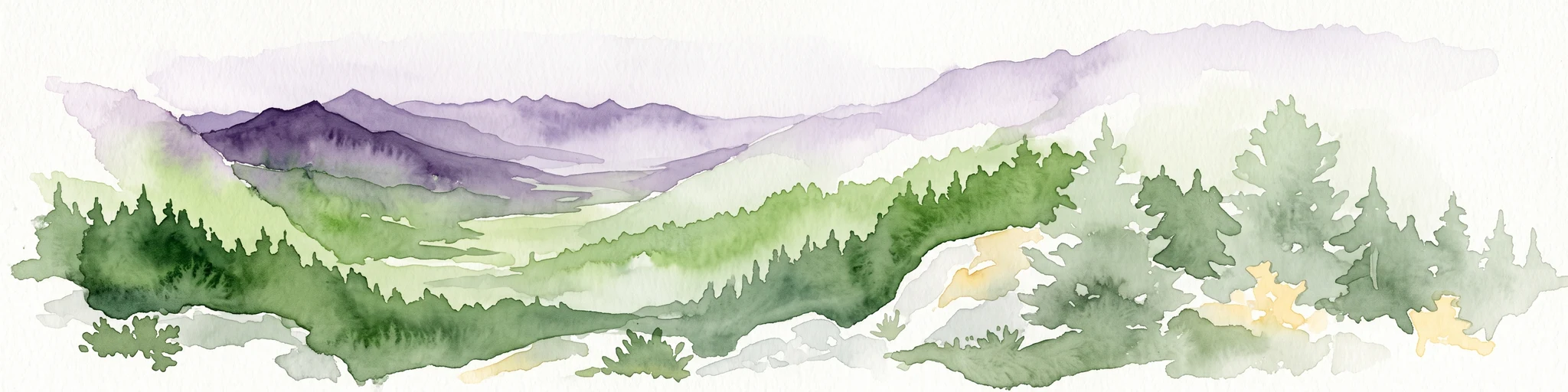
A watercolor painting showing a panoramic view of rolling mountain ranges and dense evergreen forests with a soft, misty aesthetic.
Protected landscapeWashington
11 km away#3 closest

East

Olympic National Forest: Atlas and Geographic Overview of Washington Protected Lands

Temperate rainforests, alpine ridges, and fjord shorelines

Olympic National Forest defines the outer reaches of the Olympic Mountains, featuring a massive expanse of old-growth conifers and high-precipitation temperate rainforests. This protected area connects diverse ecosystems ranging from the brackish waters of Hood Canal to rugged, snow-dusted subalpine ridges. Our detailed geographic mapping highlights the forest's role as a vital buffer and wilderness corridor within the broader Pacific Northwest landscape.

Area
2,541.89 km²
Established
1897
Relief
Mountain
Climate
Temperate
Wildlife reserveWashington
75 km away#4 closest

Southeast

Mount Skokomish Wilderness: Ridge Systems and Alpine Geography in Washington State

Exploration of a protected Olympic Peninsula mountain landscape.

Mount Skokomish Wilderness protects a dramatic stretch of the eastern Olympic Mountains defined by steep ridges and glacial basins. The area serves as a critical headwaters region and offers a dense display of peaks and old-growth forest transitions across its varied elevation profile, providing essential landscape context for the region.

Area
53.79 km²
Established
1984
IUCN
Ib
Relief
Mountain
Nature reserveBritish Columbia
About 83 km away#5 closest

East

Race Rocks Ecological Reserve: Protected Marine Landscape and Island Geography

Nature reserve in the Strait of Juan de Fuca, British Columbia

Race Rocks Ecological Reserve is a geographically distinct protected area consisting of low-lying rocky islets and surrounding high-current marine waters. Located in the Strait of Juan de Fuca, the reserve is recognized for its intense tidal mixing, which supports productive food webs and diverse marine mammals. This site provides a vital window into the ecological dynamics of the Pacific coast through its role as a dedicated research and conservation zone.

Area
2.27 km²
Established
1980
IUCN
Ia
Relief
Lowland
A soft watercolor illustration depicting a winding river flowing through a lush green valley with coniferous forests on the hillsides and mountains in the background.
State or regional parkBritish Columbia
88 km away#6 closest

North

Little Qualicum Falls Provincial Park: Regional Protected Landscape and Atlas Geography

River canyon and mountain lake habitat in British Columbia

Explore the structured geography of Little Qualicum Falls Provincial Park, a protected area characterized by its sequence of dramatic river cascades and old-growth Douglas Fir stands. This entry maps the park's key natural features, including the Cameron Lake shoreline and the rugged canyon terrain of the Little Qualicum River.

Area
4.4 km²
Established
1940
IUCN
II
Relief
Mountain
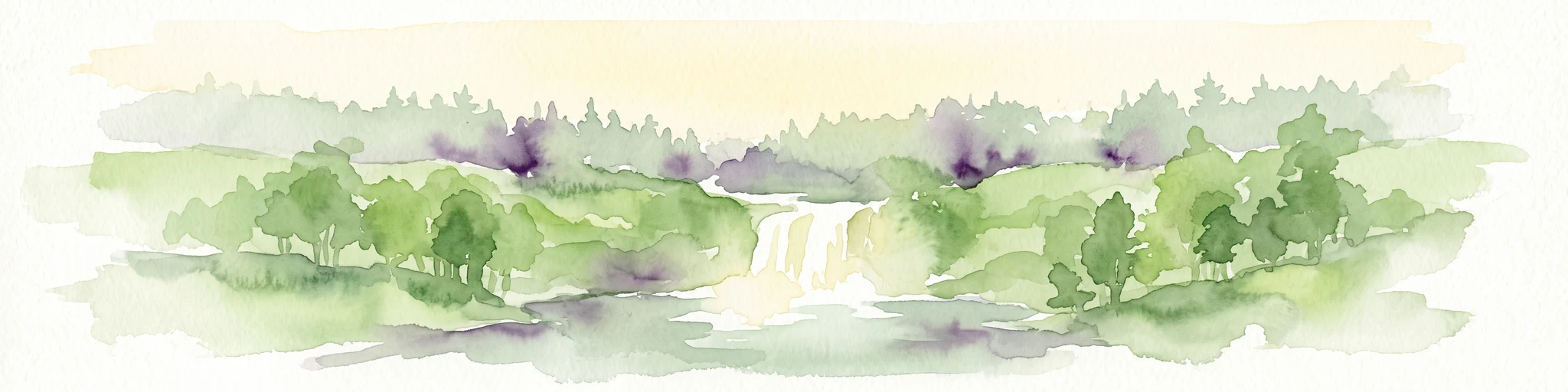
Watercolor painting of a waterfall surrounded by lush green trees and forest.
State or regional parkBritish Columbia
88 km away#7 closest

North

Englishman River Falls Provincial Park: Regional Geography and Protected Area Overview

Vancouver Island river canyon and coastal forest terrain

Englishman River Falls Provincial Park protects a concentrated area of canyon scenery and old-growth forest on the eastern side of Vancouver Island. The landscape is characterized by the dramatic steps of the Englishman River, deep plunge pools, and mature cedar and hemlock stands. This geography provides an essential look at the coastal rainforest ecosystems and river-fed topography that define the recreational corridors of British Columbia.

Area
0.97 km²
IUCN
II
Relief
Upland
Access
Easy access
A horizontal watercolor illustration featuring a wooden boardwalk winding through a calm, light-filled landscape with soft green trees, grassy foreground, and rolling hills in the distance.
State or regional parkBritish Columbia
About 88 km away#8 closest

North

MacMillan Provincial Park: Mapped Geography and Protected Forest Landscapes

Vancouver Island, British Columbia

Examine the mapped footprint of MacMillan Provincial Park, home to iconic old-growth Douglas fir trees and the Cameron River delta. This protected area serves as a biogeoclimatic transition zone, showcasing the rich, moisture-retentive coastal forest environment that defines this specific section of Vancouver Island.

Area
3.01 km²
Established
1947
IUCN
III
Visitors
543.7K annual
MoriAtlas Explorer

Continue Exploring the Olympic Coast National Marine Sanctuary Protected Marine Landscape

Navigate through the mapped boundaries and geographic features of the Olympic Coast National Marine Sanctuary in Washington. Use this MoriAtlas entry to understand the interplay between the deep submarine canyons, the continental shelf, and the protected shoreline environments that define this significant temperate marine region.