
Mori Atlas logo
Protected areaOve Sø

A shallow, elongated wetland corridor serving as a critical habitat within the Thy region

Ove Sø Protected Area: Mapping the Freshwater Landscapes of Region Nordjylland, Denmark

Ove Sø represents a distinctive narrow freshwater system in northern Jutland, characterized by its elongated shape and shallow basin. As a central element of the regional hydrology in Thy, this protected area spans roughly eight kilometers and integrates with neighboring meadows and watercourses. This profile documents the physical terrain, mapped boundaries, and ecological significance of a site renowned for its historical role in preserving local wildlife populations.

lakeshallow lakefreshwaterwetlandThyNorth Jutland
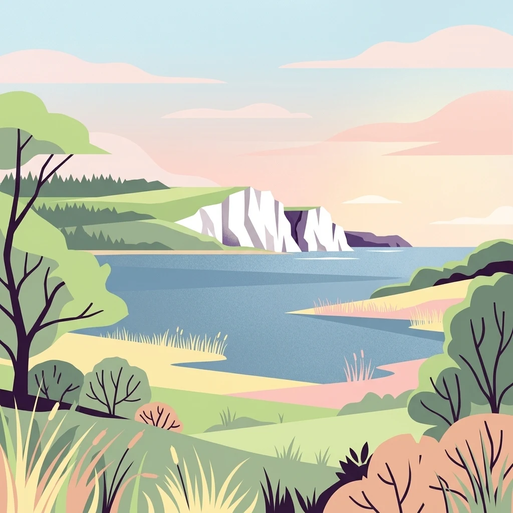
A flat-style digital illustration of a serene lake bordered by green hills, low shrubs, and white rocky cliffs under a soft, pastel-colored sky.

Ove Sø

Protected area

Park overview

Structured park overview, official facts, and landscape profile for Ove Sø

Ove Sø park facts, protected area profile, and essential visitor context

Review the core facts for Ove Sø, including designation, size, terrain, visitor scale, habitats, and operating context in one park-focused overview.

About Ove Sø

Ove Sø occupies a distinctive position among Danish lakes, not for any dramatic scenery but for the ecological role it plays within the broader wetland system of Thy. The lake's elongated shape runs roughly east to west across the landscape, threading through low-lying terrain where water has long shaped the character of the surrounding fields, meadows, and fens. Its shallow profile, averaging only a few meters at its deepest, is central to its identity; it is a lake that behaves more like an expanded reach of a river system than a deep basin, and its margins grade gradually into reeds, wet grassland, and damp agricultural land.

The lake's hydrology ties it closely to the wider Thy water system. Tegå enters from the north, Hørsted Å from the south, and the combined outflow exits westward as Hvidbjerg Å, passing through Ørum Sø before discharging into Krik Vig, a bay on the western side of the Limfjorden. This connectivity means that the lake's condition is tightly linked to the health of the streams and fens around it, and it sits at the heart of a connected catchment that has shaped centuries of land use in the area.

A small island called Madstedborg lies near the middle of the lake and contains the remains of a voldsted, a fortified site of historical interest whose earthworks still rise above the water. The combination of open water, island, reed beds, and surrounding meadows gives Ove Sø a layered habitat structure that supports both resident wildlife and seasonal visitors. The lake is included in Natura 2000 site 27, designated as both a habitat protection area (H27) and a bird protection area (F21), reflecting its importance for threatened species and migratory birds at the European level.

Quick facts and research context for Ove Sø

Ove Sø is an approximately 8 kilometer long lake covering about 3.5 square kilometers in the Thy area of northwestern Jutland, within Thisted Kommune. It is a notably shallow lake with a maximum depth of only about 2.5 meters and is fed by Tegå from the north and Hørsted Å from the south. The lake's outflow travels through Hvidbjerg Å and Ørum Sø before reaching Krik Vig on the Limfjorden.

Protection and recognition

Examine the official terrestrial protection framework and designation records for Ove Sø.

Ove Sø Protection Status and Documented Conservation Scope

Terrestrial protection records for Ove Sø outline the documented conservation scope and administrative boundary details. Available designation data provides clear context regarding the official environmental status of this protected area.

Protection details

Protection scope
Terrestrial
Transboundary protection
No
Park context

Deeper park guide and search-rich context for Ove Sø

Ove Sø history, landscape, wildlife, and travel context

Explore Ove Sø through its history, landscape character, ecosystems, wildlife, conservation priorities, cultural context, and seasonal travel timing in a structured park guide built for atlas discovery and search intent.

Why Ove Sø stands out

Ove Sø is best known as a protected freshwater and wetland site in Thy, recognized under the European Natura 2000 network. Its strongest claim to ecological fame is its role in conserving the Eurasian otter in Denmark; at one stage it was the otter's only known habitat in the country. The lake and its associated meadows and fens also serve as a seasonal refuge for large flocks of waterfowl such as whooper swans and bean geese, giving the area a continuous wildlife significance that extends well beyond its modest size.
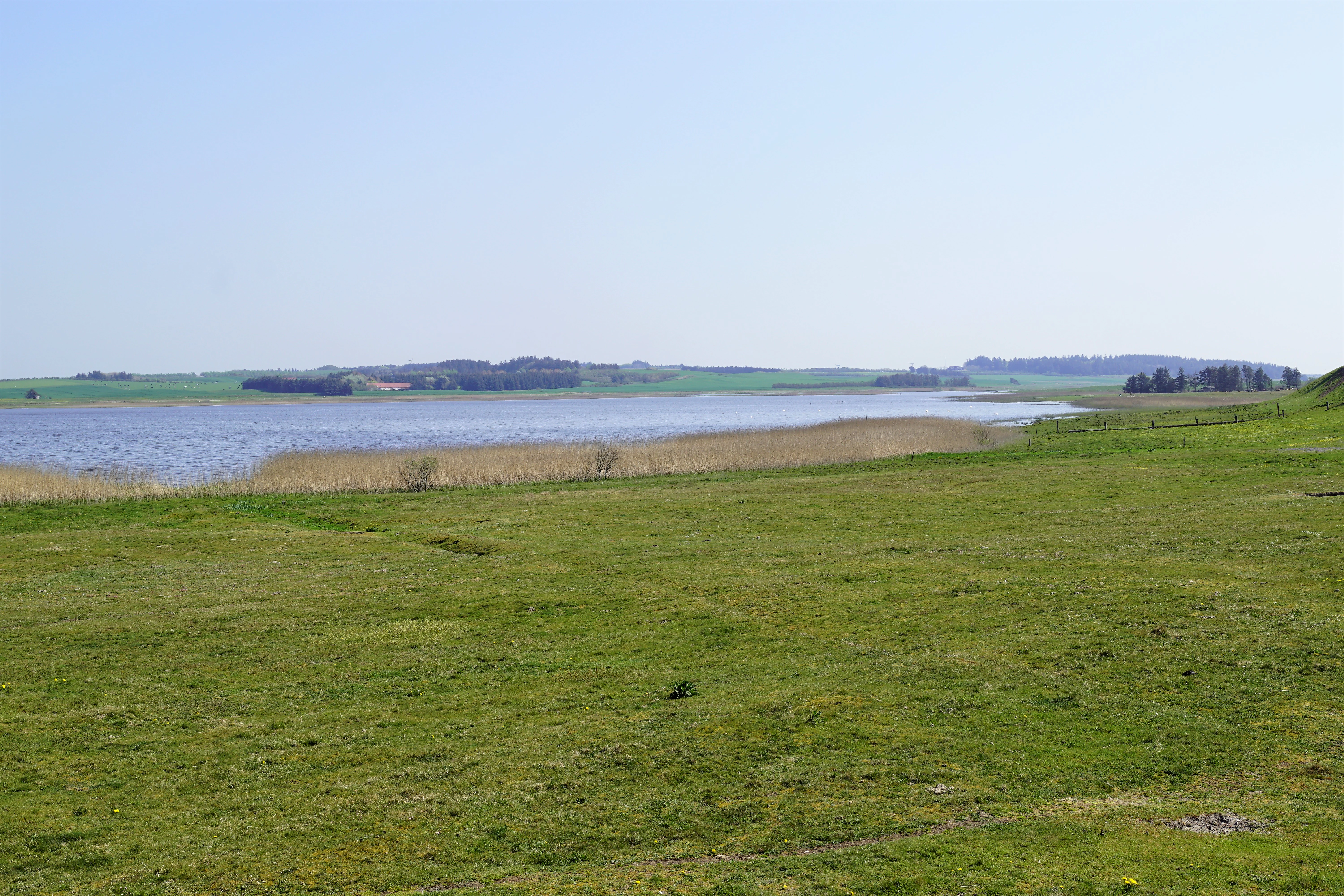
A wide, eye-level landscape view of Ove Sø, a shallow lake in Denmark, with a green grassy foreground and rolling hills in the background.
A view across the shallow waters of Ove Sø in Thy, Denmark.

Ove Sø history and protected-area timeline

Detailed historical records specific to Ove Sø are limited in the available source material. The lake contains the small island of Madstedborg, which preserves the remains of a voldsted, an old fortified enclosure, suggesting that the site has been noticed and occupied at least episodically over a long period.

In modern times, Ove Sø's history is closely bound up with European nature conservation. The lake was included in the Natura 2000 network as part of site 27 covering Hvidbjerg Å, Ove Sø, and Ørum Sø, and was designated as both a habitat protection area and a bird protection area. It also gained particular significance in Danish conservation history as a critical refuge for the Eurasian otter, a species whose population had collapsed elsewhere in the country.

Ove Sø landscape and geographic character

Ove Sø sits in the open, gently undulating landscape of Thy in northwestern Jutland, a region shaped by glacial deposits, low hills, and extensive flat wet areas. The lake is long and narrow rather than broad and basin-like, stretching roughly 8 kilometers across the terrain with a surface of about 3.5 square kilometers. Its margins blend softly into surrounding meadows, pastures, and farmland, giving the area a quiet, water-dominated character rather than a dramatic scenic profile.

The maximum depth of around 2.5 meters reinforces the lake's identity as a shallow water body. Reeds and wetland vegetation line much of the shoreline, and small bays and inlets break the otherwise simple outline. Near the center of the lake, the island of Madstedborg adds a distinctive landmark and breaks the visual continuity of the open water. The outflow landscape to the west, along Hvidbjerg Å and through Ørum Sø toward Krik Vig, continues this low-lying, water-rich character into the Limfjorden system.

Ove Sø ecosystems, habitats, and plant life

The ecological character of Ove Sø is defined by its shallow depth, its fringing wetlands, and the surrounding mosaic of meadows, arable land, and fens that connect to the lake through Tegå, Hørsted Å, and Hvidbjerg Å. This combination produces rich transitional habitats at the land-water interface, which are particularly valuable for aquatic and semi-aquatic wildlife.

Because the lake is designated under the European Union's Habitats Directive, its ecological value is recognized at the continental level. The system is managed and protected in coordination with neighboring water bodies through the joint Natura 2000 site that links Hvidbjerg Å, Ove Sø, and Ørum Sø. The shallow water column and extensive fringing vegetation support fish, invertebrates, and amphibians, while the meadows and damp fields around the lake extend the habitat value into the surrounding landscape.

Ove Sø wildlife and species highlights

Ove Sø is most notable on the wildlife front for its role in supporting the Eurasian otter in Denmark. The lake and its associated waterways once served as the otter's only remaining habitat in the country, a fact that placed Ove Sø at the center of Danish freshwater conservation efforts even before its inclusion in Natura 2000.

Beyond the otter, the lake functions as a seasonal refuge for waterfowl. Its open water and surrounding meadows and fields attract resting flocks of migratory species, with whooper swans (sangsvaner) and bean geese (sædgæs) using the area as a staging and wintering site. The combination of breeding habitat, feeding areas, and stopover function gives Ove Sø a continuous role in bird life through much of the year, alongside its importance for resident aquatic and wetland species.

Ove Sø conservation status and protection priorities

Ove Sø lies within Natura 2000 area 27, designated for Hvidbjerg Å, Ove Sø, and Ørum Sø, and is protected simultaneously as a habitat area (H27) and a bird protection area (F21). This dual designation reflects a recognition that the lake is important both for habitat types listed under the EU Habitats Directive and for the bird species protected under the Birds Directive.

The lake's conservation significance is anchored by two main strands: its importance for the Eurasian otter, for which it was historically the last Danish refuge, and its role as a staging and wintering site for migratory waterfowl such as whooper swans and bean geese. The surrounding meadows, fens, and arable land are integral to this value, because it is the mosaic of water and adjacent open land that makes the site functional for these species. Protection of Ove Sø is therefore understood not as the safeguarding of an isolated lake but as the maintenance of an entire connected wetland system extending from the inland streams to the western Limfjorden.

Ove Sø cultural meaning and human context

Cultural context for Ove Sø is largely place-based rather than monumental. The lake sits within the traditional landscape of Thy, a region with a strong sense of local identity in northwestern Jutland. The small island of Madstedborg, with the remains of an old voldsted, hints at older episodes of human presence and control of this landscape, even if detailed historical records are sparse.

More broadly, the lake is part of a rural setting where farming, fishing, and wetland use have long coexisted with the natural hydrology of the area. Its inclusion in modern European conservation frameworks reflects a shift in which such landscapes are valued not only for their productivity but also for their biodiversity and ecological function within a transnational network.

Top sights and standout views in Ove Sø

Among Ove Sø's most distinctive qualities are its unusually elongated, narrow form, its consistently shallow profile, and its central island of Madstedborg with its surviving voldsted remains. The lake's designation as both a habitat and bird protection area within Natura 2000 gives it a formal ecological standing that exceeds its modest size, and its historical importance as the last Danish stronghold of the otter adds a conservation narrative that no purely physical description can capture.

The lake's tight integration with the surrounding water system, fed by Tegå and Hørsted Å and flowing out through Hvidbjerg Å and Ørum Sø toward the Limfjorden, makes it a textbook example of how a single water body can anchor the ecological value of an entire lowland catchment in Thy.

Best time to visit Ove Sø

Ove Sø is best experienced in seasons when its shallow waters and surrounding meadows are most alive with birdlife. Late autumn, winter, and early spring tend to bring the largest gatherings of migratory waterfowl, including whooper swans and bean geese, which use the open water and adjacent fields as resting and feeding habitat. Summer offers quieter conditions and the chance to observe reedbed and wetland species in a calmer setting, though with fewer large concentrations of visiting birds.

Because the lake is shallow and gently exposed across open countryside, conditions can feel quite different in calm weather versus windy or cold spells. Visiting in mild, settled weather generally offers the best chance to appreciate both the lake's elongated outline and its role within the wider Thy wetland landscape.
Monthly climate preview

Track monthly precipitation averages and temperature ranges for Ove Sø

Ove Sø Climate Normals and Annual Temperature Patterns

Representative coordinates record long-term temperature swings from sub-zero winter minimums to mild summer maximums alongside varying daily precipitation rates. Reviewing the complete twelve-month profile helps analyze multi-season climate norms across the protected terrain.
Annual mean9 °C
3 °C17 °C
Jan
Feb
Mar
Apr
May10°
Jun13°
Jul16°
Aug17°
Sep15°
Oct11°
Nov
Dec
Warmest month
August

16.7 °C

Coolest month
February

3.2 °C

Wettest month
October

3.6 mm/day

Driest month
April

1.7 mm/day

Park location guide

Geography guide, regional context, and park location map for Ove Sø

Ove Sø park geography, regions, and map view in Denmark

Understand where Ove Sø sits in Denmark through a broader geographic reading of the surrounding landscape, nearby location context, and its mapped position within the national park landscape.

How Ove Sø fits into Denmark

Denmark is a constitutional monarchy and Nordic country in Northern Europe. It is the southernmost of the Scandinavian countries, bordering Germany to the south, Norway to the north, and Sweden to the southwest. The country consists of the Jutland peninsula and an archipelago of islands, with Copenhagen as its capital and largest city. Denmark has a population of over 6 million and is characterized by flat, arable land, sandy coasts, and a temperate climate.

Wider geography shaping Ove Sø in Denmark

Denmark occupies the Jutland peninsula and roughly 406 islands in Northern Europe. It is situated between the North Sea to the west and the Baltic Sea to the east. The country borders Germany to the south and is connected to Sweden via the Øresund Bridge. Denmark is predominantly flat terrain with low elevation, the highest point being Møllehøj at 170.86 meters.

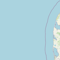
Map view of Ove Sø

Use this park location map to pinpoint Ove Sø in Denmark, understand its exact geographic position, and read its mapped placement within the surrounding landscape more clearly.

Pigeon | © OpenStreetMap contributors

Location context for Ove Sø

Region Nordjylland

Visual exploration of wetland habitats and lake scenery in Thy

Ove Sø Photos and Protected Landscape Imagery

Visual records capture the elongated waters, reed fringes, and surrounding meadows that define the protected landscape of Ove Sø. Examining these detailed photographs reveals the natural terrain, shallow freshwater margins, and protected bird habitats found across the region.

A wide, eye-level landscape view of Ove Sø, a shallow lake in Denmark, with a green grassy foreground and rolling hills in the background.

A wide landscape view of a calm blue lake, Ove Sø, surrounded by open grassy meadows and distant trees under a clear blue sky.

Park atlas

Compare surrounding wetland habitats and regional conservation landscapes

Explore Protected Areas and National Parks Near Ove Sø

Visitors exploring Ove Sø can browse nearby protected areas and related wetland habitats across the surrounding Thy region. Regional park comparison reveals broader ecological patterns and connected water catchments throughout northwestern Jutland.
Watercolor illustration of a landscape with trees, water, and distant hills
National parkDenmark
About 1.6 km away#1 closest

North

Thy National Park: Explore Denmark's First Protected Coastal Landscape and Heathlands

Mapped dune systems, rare heath habitats, and coastal geography.

Thy National Park, Denmark's inaugural national park, protects a significant expanse of windswept coastal terrain. This area is renowned for its rare dune heaths, a habitat of particular European ecological importance, and a landscape shaped by a century of sand drift stabilization efforts. The park's diverse geography includes extensive sandy heaths, conifer plantations, and a striking coastline along the North Sea, offering rich opportunities for atlas exploration of protected natural areas and their surrounding regional context. Discover the mapped extent of this vital conservation landscape.

Area
244 km²
Established
2007
IUCN
II
Relief
Lowland
Protected areaDenmark
About 9.7 km away#2 closest

West

Natura 2000-område nr. 43 Klitheder mellem Stenbjerg og Lodbjerg Coastal Heath Atlas

Denmark protected coastal dunes and heathland geography

Spanning over 2,900 hectares on the Danish coast, this protected area features a coherent sequence of active dunes, inland heathlands, and freshwater slacks. The site provides essential habitat for breeding cranes and rare flora, reflecting the complex ecological transitions of the Thy coastline. Use this reference to trace the regional boundaries and unique terrain features of this designated European habitat.

Area
29.18 km²
Water
Minor water
Nature reserveRegion Nordjylland
About 12 km away#3 closest

Southeast

Mågerodde og Karby Odde Nature Reserve: Coastal Protected Landscapes in Region Nordjylland

Limfjorden shoreline, shallow bays, and saline meadows.

Mågerodde og Karby Odde serves as a key coastal reserve in Denmark, defined by its extensive Limfjorden shoreline and complex mix of aquatic and terrestrial habitats. From saline meadows and coastal lagoons to acidic grasslands and spring-fed mires, this protected area offers a look at a diverse maritime ecosystem. The site is recognized for its importance to migratory waterfowl and breeding coastal birds, providing a essential link in the regional geography of the Limfjorden.

Area
4.97 km²
Established
2011
Relief
Lowland
Climate
Temperate
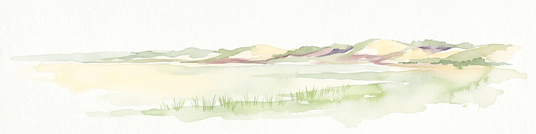
A soft watercolor painting depicting a flat, open coastal landscape with rolling, pale-colored dunes in the distance and muted green grasses in the foreground against a white background.
Protected areaDenmark
About 13 km away#4 closest

Southwest

Agger Tange Protected Area: Coastal Peninsula and Wetland Geography in Northwestern Denmark

Mapping the North Sea and Limfjorden interface

Agger Tange is a significant coastal landform in northwestern Denmark, characterized by its exposed western dunes and sheltered eastern salt marshes. This protected landscape documents the dramatic influence of storm surges on the Jutland coast, resulting in a complex network of lagoons and tidal flats that support critical bird habitats.

Area
24 km²
Established
1984
Relief
Lowland
Scope
Mixed
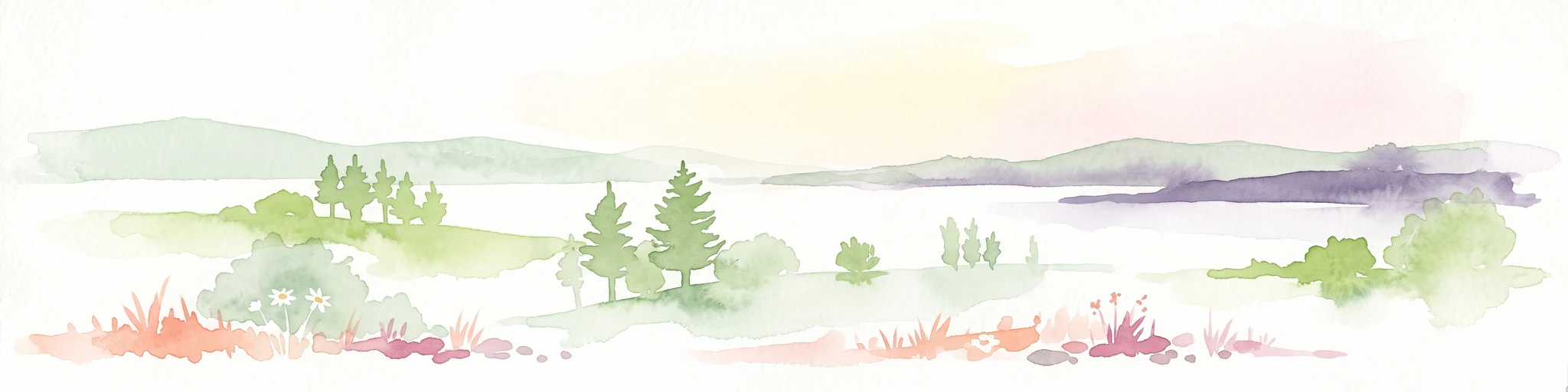
A wide panoramic watercolor illustration showing a landscape with green hills, pine trees, a body of water, and colorful foreground vegetation in pastel tones.
Natural monumentRudmose Aggerø
About 19 km away#5 closest

Southeast

Rudmose Aggerø Natural Monument: Mapped Coastal and Fjord Landscapes in Denmark

Protected shallow-water habitats and rural island geography

Rudmose Aggerø presents a unique study in protected coastal geography. Situated in the western Limfjorden, this low-lying island features managed nature reserves and essential intertidal ecosystems. Its geography is shaped by the interplay of sandbanks and shallow marine environments, offering a serene perspective on Denmark's protected fjord landscapes.

Area
0.275 km²
Relief
Lowland
Climate
Temperate
Scope
Mixed
Protected areaDenmark
About 19 km away#6 closest

South

Nissum Bredning Protected Area: Geography and Coastal Mapping in Denmark

Shallow bay ecosystems, glacial cliffs, and Limfjorden sand flats.

Nissum Bredning is a broad, low-lying basin in western Denmark known for its extensive shallow sand flats, including Fjordgrund and Gåseholm. The protected area encompasses a diverse coastal mosaic of brackish lagoons, salt meadows, and the distinctive Toftum Bjerge glacial cliff. This geography offers a clear view into the intersection of active North Sea currents and sheltered inland fjord environments.

Area
200 km²
Relief
Lowland
Climate
Temperate
Access
Easy access
Nature reserveRegion Nordjylland
About 31 km away#7 closest

Northeast

Korsø Knude Nature Reserve: Protected Chalk Headland and Coastal Terrain in Northern Jutland

Geographic analysis of lime-rich grassland and coastal dune systems

Korsø Knude protects a rare habitat mosaic where chalk geology meets shifting dune sand. This small but significant area in Region Nordjylland serves as a key site for specialized calcareous flora and coastal biodiversity, offering a distinct example of the Skagerrak coastline's natural terrain.

Area
0.2 km²
Established
1955
Relief
Upland
Climate
Temperate
Nature reserveRegion Nordjylland
About 40 km away#8 closest

Northeast

Lild Strand og Lild Strandkær: A Detailed Look at Denmark's Protected Coastal Dune Terrain

Mapping the dune heath, wetlands, and inland lakes of western Thy

Lild Strand og Lild Strandkær encompasses a significant protected landscape in Region Nordjylland. This site features a continuous stretch of coastal dune zonation, including foredunes and grey-green dunes, set against a chain of distinctive brown-water and Lobelia lakes. Its habitat mosaic offers a clear window into the ecological diversity of the Thy coastline through a structured geographic lens.

Area
7.49 km²
Established
2011
Relief
Lowland
Scope
Terrestrial

Common questions about visiting, size, designation, and location context for Ove Sø

Ove Sø FAQs for park facts, access, geography, and protected area context

Find quick answers about Ove Sø, including protected-area facts, park geography, trail and visitor context, and how the park fits into its surrounding country and regional landscape.
MoriAtlas Explorer

Continue Your Protected Areas Search Across the Global Atlas

Deepen your exploration by continuing the structured search for national parks and protected areas worldwide. Utilize the comprehensive filtering capabilities to compare different conservation landscapes and refine your understanding of global park geography. Discover more about the distribution and characteristics of protected natural areas.

Global natural geography