Mori Atlas logo
Park earthquake history

Review documented historical seismic events located in the vicinity of this protected Pyrenean terrain.

Recorded Seismic History and Earthquake Activity Near Parc Natural Comunal de les Valls del Comapedrosa

This catalogue provides an overview of recorded earthquake activity identified within the geographic reach of the Parc Natural Comunal de les Valls del Comapedrosa. By analyzing seismic events associated with the surrounding Pyrenean landscape, the platform presents structured data including event dates, magnitudes, and precise epicentral distances. These historical records offer a clear perspective on regional seismic trends through mapped associations, maintaining a strictly observational focus on the documented geological history of this area.

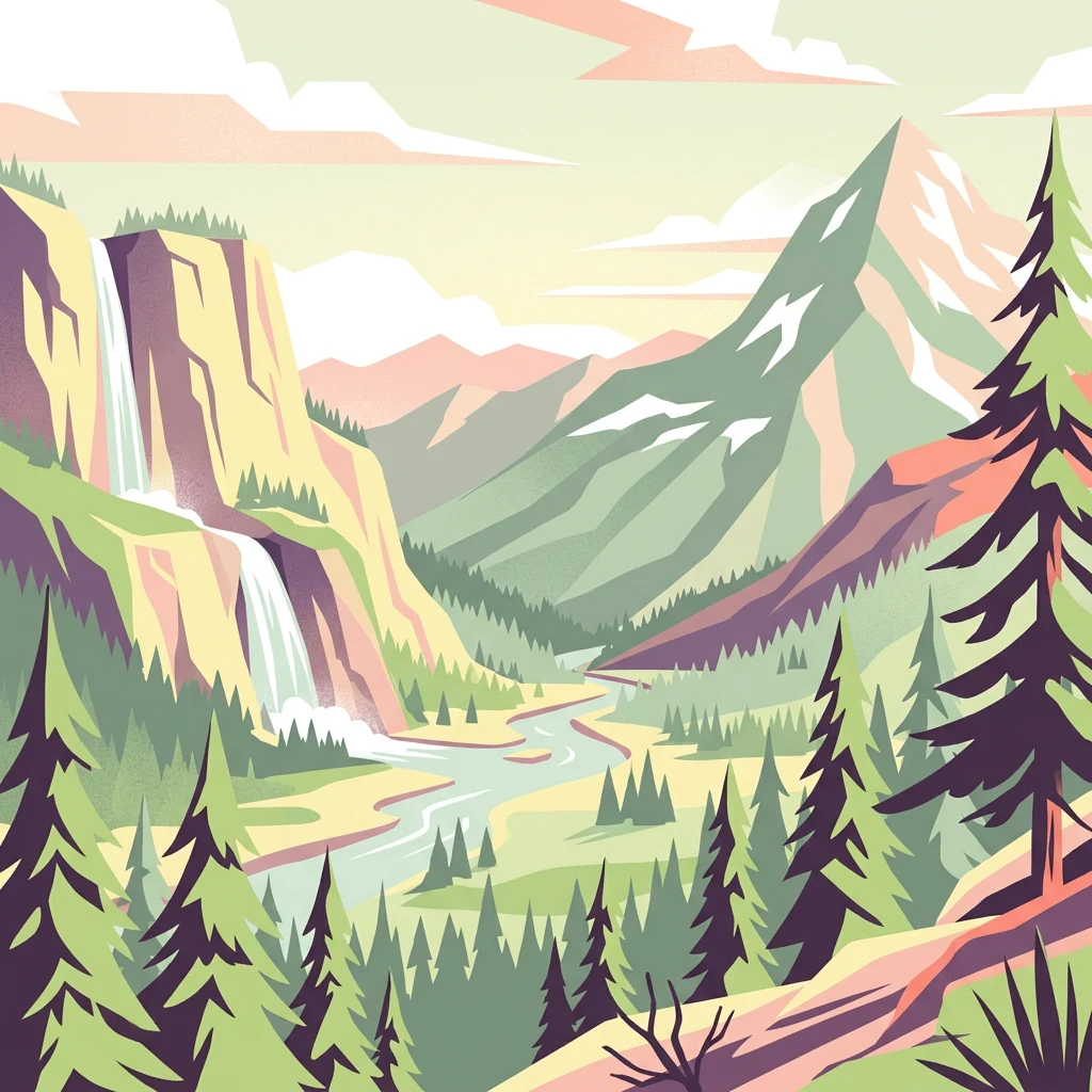
Illustration of a mountain landscape featuring a waterfall, river, pine trees, and snow-capped peaks

Andorra's alpine park protecting the Pyrenees' highest summit

Parc Natural Comunal de les Valls del Comapedrosa

Parc Natural Comunal de les Valls del Comapedrosa is a protected natural area located in the western region of the Principality of Andorra, a small microstate nestled in the central Pyrenees mountains between France and Spain. Established in 2003, the park encompasses approximately 15.43 square kilometers of alpine terrain and is managed under IUCN Category IV classification, reflecting its focus on habitat and species management. The park is centered around Coma Pedrosa, which at 2,942 meters above sea level stands as the highest peak in Andorra, giving this protected area particular geographic significance within the Pyrenean range. The landscape features dramatic mountain scenery, steep valleys, and the characteristic rugged terrain of high-altitude Pyrenean ecosystems. A public hiking trail traverses the park, offering visitors the opportunity to explore this mountainous environment through a moderate trek that can be completed in approximately four hours.

Location
Andorra
Park type
Protected area
Established
2003
Area
15.4 km²
Parc Natural Comunal de les Valls del Comapedrosa Protected Area

Explore Parc Natural Comunal de les Valls del Comapedrosa events by distance

Review earthquakes near Parc Natural Comunal de les Valls del Comapedrosa

Parc Natural Comunal de les Valls del Comapedrosa encompasses 15.43 km² of Andorran alpine mountains and valleys. Its seismic search documents regional events using reported dates, magnitudes, depths, epicentral descriptions, park distances, and sources, while avoiding unsupported conclusions about effects on the high terrain, current safety, or future earthquakes.

Sort by
Magnitude
Location

This page describes catalogued earthquakes associated with the park by epicentre location and distance. It does not establish causation, assess current danger, or predict future earthquakes.

No earthquake records match the current filters

Park atlas

Broaden discovery beyond the Comapedrosa earthquake catalogue

Other parks after Parc Natural Comunal de les Valls del Comapedrosa

The earthquake data for Parc Natural Comunal de les Valls del Comapedrosa ends before this independent destination collection begins. The onward parks are not asserted to share valleys, mountain terrain, protection status, environments, geography, geology, proximity, earthquake coverage, seismic qualities, hazards, risk, or matching source depth.
Protected areaAndorra
7.7 km away#1 closest

Southeast

Madriu-Perafita-Claror Valley: Geographic Overview of Andorra's Premier Protected Landscape

An examination of glacial landforms and historic mountain heritage.

Spanning nine percent of Andorra, the Madriu-Perafita-Claror Valley remains a rare example of a preserved Pyrenean cultural landscape. This protected area features granite cliffs, glacial cirques, and historic ironworking remnants, offering a deep look into the environmental legacy of mountain societies within a remote, foot-access-only basin.

Area
42.47 km²
Established
2004
Relief
Mountain
Climate
Alpine
Watercolor illustration of a mountainous landscape with a river, green vegetation, and distant peaks under a light sky
National parkProvince of Lleida
29 km away#2 closest

West

Aigüestortes i Estany de Sant Maurici National Park: Pyrenean High Mountain National Park Landscape

Explore glacial lakes and winding waterways in Catalonia.

Aigüestortes i Estany de Sant Maurici National Park is a premier national park in the Pyrenees, celebrated for its extensive network of almost 200 glacial lakes and the dramatic natural beauty of the Sant Maurici lake. Its landscape is defined by high mountain terrain, characterized by U-shaped valleys, sharp ridges, and unique hydrological features like the Aigüestortes plain's meandering streams. This protected area in the Province of Lleida offers a rich setting for understanding alpine environments and Pyrenean geography through detailed mapping and atlas exploration.

Area
141 km²
Established
1955
IUCN
II
Visitors
525K annual
Nature reserveOccitanie
About 52 km away#3 closest

East

Réserve naturelle nationale de la Grotte du T.M. 71: Geological Protected Area Map

Subterranean karst exploration in the Aude department of Occitanie

Located in the foothills bordering the Pyrenees, the Réserve naturelle nationale de la Grotte du T.M. 71 protects a sprawling network of limestone passages. This site represents a key protected area for the study of subterranean mineral formations and Pyrenean karst evolution, featuring kilometres of mapped galleries maintained under a strict integral conservation framework.

Area
0.96 km²
Established
1987
IUCN
III
Nature reserveOccitanie
About 65 km away#4 closest

East

Réserve naturelle régionale de Nyer: Mapped Geography and Protected Mountain Landscapes

Exploring the vertical terrain of a Pyrenean regional nature reserve

The Réserve naturelle régionale de Nyer offers a remarkable study in vertical zonation, featuring deep gorges and high alpine summits within the Pyrénées-Orientales. This protected area stands as a focal point for understanding the convergence of Mediterranean and mountain climates across the diverse topographical landscape of the Occitanie region.

Area
21.9 km²
Established
1998
Relief
Mountain
Climate
Mediterranean
A watercolor painting of a serene mountain landscape featuring gentle rolling hills, small clusters of trees, and soft, muted tones of green, pink, and purple, set against a light background.
Nature reserveOccitanie
About 86 km away#5 closest

West

Réserve naturelle régionale du Massif du Montious: Regional Nature Reserve in Occitanie

Granitic massif geography and Pyrenean protected landscapes

Located in the heart of the Hautes-Pyrénées, this reserve captures the geological and biological essence of the Central Pyrenees. From the summit grasslands at 2,171 metres to the sheltered glacial basins, the terrain provides a comprehensive look at regional mountain ecosystems and Hercynian geological heritage.

Area
7.38 km²
Established
2020
IUCN
IV
A soft, watercolor painting depicting distant purple-hued mountain ranges fading into a pale, warm-toned sky, with light green hills and hints of pine forests in the foreground.
Nature reserveOccitanie
About 97 km away#6 closest

West

Réserve naturelle régionale d'Aulon: Mountain Geography and Protected Area Mapping

A diverse protected landscape spanning the central Pyrenees of Occitanie.

This regional nature reserve provides a focused look at central Pyrenean mountain environments. Covering over 1,200 hectares, the area features a steep altitudinal gradient, blending working pastoral meadows with critical habitats such as rocky slopes, conifer forests, and glacial landforms. The site serves as a vital anchor within the broader network of protected mountain terrain found throughout the Occitanie region.

Area
12.37 km²
Established
2001
IUCN
IV
Relief
Mountain
A wide, soft-focus watercolor painting showing a winding river through a lush green valley with rolling hills in the background.
Nature reserveOccitanie
About 101 km away#7 closest

North

Réserve naturelle régionale Confluence Garonne-Ariège: Protected Riverine Geography and Mapping

A significant riparian landscape in the Occitanie region

Discover the protected river corridors and diverse natural terrain of the Réserve naturelle régionale Confluence Garonne-Ariège. This regional nature reserve marks the confluence of the Garonne and Ariège rivers, showcasing a complex mosaic of alluvial forest, riparian wetlands, and dry hillside woodlands that characterize the geography south of Toulouse.

Area
5.791 km²
Established
2015
IUCN
IV
Relief
Mixed relief
National parkHautes-Pyrénées
104 km away#8 closest

West

Pyrénées National Park: Protected Landscape & Transboundary Protected Area Atlas

Discover Hautes-Pyrénées' dramatic glacial terrain and alpine environments.

Pyrénées National Park is a significant protected area in France's Hautes-Pyrénées department, renowned for its dramatic glacial cirques, high-altitude lakes, and extensive mountain landscapes. Established as a national park, it offers rich geographic context for atlas exploration, showcasing millions of years of geological formation shaped by tectonic uplift and glacial carving. This park is also notable for its transboundary conservation efforts with Spain, contributing to a broader protected region. Explore its unique terrain, from towering limestone formations to alpine meadows, and understand its place within the Pyrenean mountain range.

Area
458 km²
Established
1967
IUCN
II
Relief
Mountain
MoriAtlas Explorer

Continue Exploring the Protected Landscape of Parc Natural Comunal de les Valls del Comapedrosa

Deepen your understanding of Parc Natural Comunal de les Valls del Comapedrosa by examining its specific geographic context within the Pyrenees. This protected area serves as a key entry point for exploring Andorra's alpine terrain and mapped natural landscapes. Use MoriAtlas to trace its boundaries and understand its role in regional conservation and mountain geography.