Mori Atlas logo
Park earthquake history

A chronological catalogue of regional seismic events associated by epicentre distance

Recorded Earthquake History and Seismic Activity Near Parc naturel régional de Camargue

This collection provides a structured overview of documented earthquakes that have occurred in proximity to the landscapes of the Rhône delta and Parc naturel régional de Camargue. The records utilize USGS-derived data to map seismic occurrences, offering insight into the regional geological history of this wetland territory. Researchers and visitors can examine historical events by date, magnitude, and precise distance relative to the park boundaries to understand the broader seismic context of southern France.

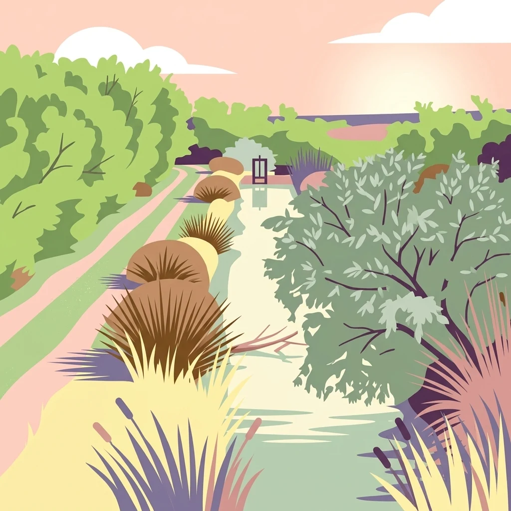
A stylized digital illustration of a wetland canal scene in the Camargue, featuring soft pastel colors, tall grasses, marsh vegetation, and a sunset sky.

Rhône delta wetlands, salt flats, and a stronghold of European birdlife.

Parc naturel régional de Camargue

The Parc naturel régional de Camargue is a regional nature park in southern France, covering a large portion of the Grande Camargue between the arms of the Rhône delta in the Bouches-du-Rhône department. Created in 1970 and last revised as a classified park in 1998, it protects one of the most important wetland complexes in Europe, a landscape of brackish lagoons, salt marshes, reed beds, dunes, and agricultural plains. The Camargue is internationally significant for its birdlife, with hundreds of recorded species and an exceptional wintering population that has historically placed it as the top French site for overwintering waterbirds. It is also the heartland of distinctive Camargue breeds of horses and bulls, of coastal rice cultivation, and of a strong saltmaking and pastoral tradition that still shapes the contemporary landscape. The territory is protected through a layered system: a national nature reserve centered on the Vaccarès lagoon, a UNESCO biosphere reserve, Natura 2000 special protection areas and special areas of conservation, and a major Ramsar-designated wetland area.

Location
France
Park type
Regional park
Established
1970
Area
856.9 km²
Parc naturel régional de Camargue Park Atlas

Compare source records across the Camargue’s coast, dunes, lakes, rivers and wetlands

Search earthquake observations around the Camargue Regional Natural Park

Explore reported earthquakes around Parc naturel régional de Camargue, an 856.9 km² mixed lowland park dominated by water across coast, beaches, dunes, lakes, rivers and wetlands; Filter dates, magnitudes, depths and park distances while retaining each source. Epicentre proximity does not establish occurrence within the boundary, environmental impacts, causation, present risk or future events.

Sort by
Magnitude
Location

This page describes catalogued earthquakes associated with the park by epicentre location and distance. It does not establish causation, assess current danger, or predict future earthquakes.

No earthquake records match the current filters

Park atlas

Continue from Parc naturel régional de Camargue earthquake observations

Browse more parks beyond Parc naturel régional de Camargue

Parc naturel régional de Camargue covers 856.9 km² of Mediterranean French coast, beaches, dunes, lakes, rivers, and wetlands under mixed protection. Related earthquake links enable comparison without implying shared delta conditions, environmental effects, present danger, or prediction.
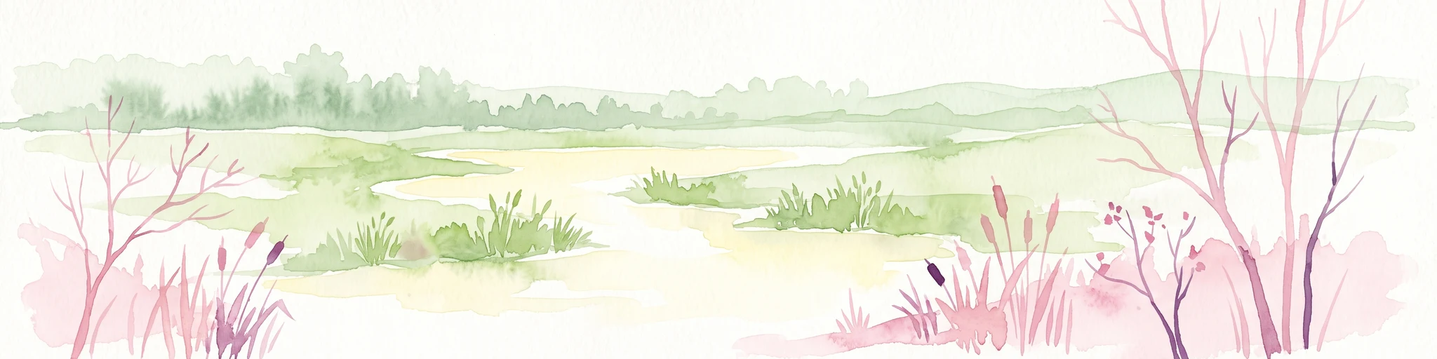
A watercolor illustration of a tranquil marshland scene with soft green and muted pink tones, depicting reeds, sparse trees, and calm water.
Nature reserveFrance
Mapped location lies within the park boundary#1 closest

Southeast

Réserve naturelle régionale de la Tour du Valat: Mediterranean Wetland and Research Landscape Map

A critical protected area and ecological research estate in the Rhône delta of France.

Located in the Bouches-du-Rhône department, the Réserve naturelle régionale de la Tour du Valat serves as a reference point for Mediterranean wetland science. The reserve features an intricate landscape of marshes, salt meadows, and woodland patches that support diverse birdlife and habitats. This protected area demonstrates the integration of active pastoral land use with habitat management on a significant deltaic estate near Arles.

Area
18.44 km²
Established
2008
Relief
Lowland
Climate
Mediterranean
Watercolor painting of a marshy wetland scene with grassy foreground, scattered trees, and distant hills.
Nature reserveGard
About 6.4 km away#2 closest

West

Réserve naturelle régionale du Scamandre: Mapped Boundaries and Wetland Geography in Gard

Protected marshlands and salt steppe in southern France.

Deep dive into the ecological layout of Réserve naturelle régionale du Scamandre. Situated in the Gard department, this protected site preserves a mosaic of prairie, sansouïre, and marshland, creating a high-density wetland corridor essential for regional biodiversity and landscape analysis.

Area
1.467 km²
Established
2006
IUCN
IV
Relief
Lowland
A horizontal watercolor painting depicting a soft-focus landscape of grassy wetlands in the foreground with gentle, rolling hills in the background.
Nature reserveProvence-Alpes-Côte d'Azur
About 7.4 km away#3 closest

Northeast

Réserve naturelle régionale de l'Ilon: Protected Wetland Atlas and Geographic Context

Mapping Mediterranean marshes in the Alpilles foothills.

Covering 176 hectares of diverse wetland habitat, Réserve naturelle régionale de l'Ilon preserves critical marshlands and floodable meadows. This site demonstrates the interplay between lowland water systems and the rocky Alpilles range, providing a essential refuge for diverse dragonfly and bird species within the heart of Provence.

Area
1.76 km²
Established
2012
IUCN
IV
A horizontal watercolor painting depicting a soft, washed-out landscape of wetlands with green vegetation, calm water, and gentle hills in the distance.
Nature reserveOccitanie
About 8.5 km away#4 closest

West

Réserve naturelle régionale de Mahistre et Musette: Regional Nature Reserve and Wetland Atlas

Petite Camargue geography and protected marshland mosaic in Occitanie

Located in the Gard department of southern France, the Réserve naturelle régionale de Mahistre et Musette represents a successful case of wetland restoration. This protected area features a distinct landscape of reedbeds, saline flats, and ponds, providing critical habitat for numerous wetland species. Access detailed geographic context on how these restored marshes link to the broader Petit Camargue environmental network.

Area
2.616 km²
Established
1999
IUCN
IV
Nature reserveProvence-Alpes-Côte d'Azur
About 9.8 km away#5 closest

East

Réserve naturelle régionale du Pourra - Domaine du Ranquet: Coastal Lagoon Protected Landscape

Regional Nature Reserve in Provence-Alpes-Côte d'Azur

Spanning over 300 hectares near Port-de-Bouc, this protected area preserves interconnected Mediterranean lagoons and surrounding marshlands. It offers a distinct geographic perspective on transitional coastal habitats situated within the heavily developed Bouches-du-Rhône department.

Area
3.153 km²
Established
2020
IUCN
IV
Nature reserveProvence-Alpes-Côte d'Azur
About 20 km away#6 closest

East

Réserve naturelle régionale de la Poitevine-Regarde-Venir: Steppe Conservation and Geography

Protected dry steppe landscapes in the French Crau region

Delve into the geography of the Réserve naturelle régionale de la Poitevine-Regarde-Venir, a specialized nature reserve that safeguards the distinctive pebbly coussoul of the Crau plain. The area represents a fundamental piece of Mediterranean pastoral history, balancing fragile steppe ecosystems with traditional agricultural meadows.

Area
2.207 km²
Established
2009
IUCN
IV
A soft watercolor painting of a winding river flowing through a gentle, rolling green valley with hills in the background.
Nature reserveOccitanie
About 27 km away#7 closest

North

Réserve naturelle régionale des gorges du Gardon: Geography and Protected Area Overview

Mediterranean river valley and raptor conservation corridor

Examine the distinct topography of the Réserve naturelle régionale des gorges du Gardon. The protected area features steep limestone cliffs and a river corridor that sustains dense Mediterranean oak forests. This site remains a critical node for raptor conservation, specifically supporting nesting Egyptian vultures and Bonelli eagles within its structured valley geography.

Area
4.913 km²
Established
2007
IUCN
IV
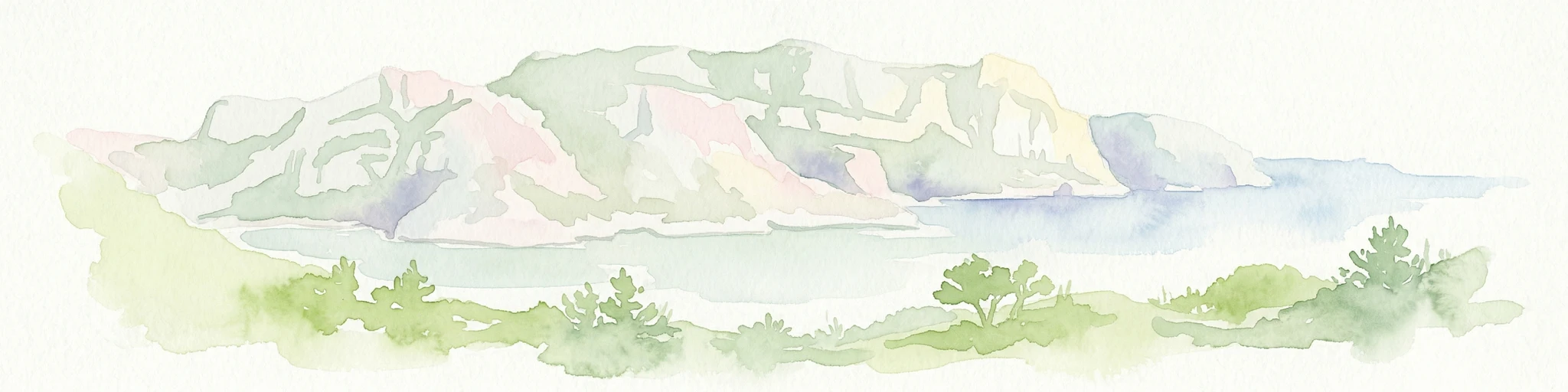
Watercolor illustration of coastal mountains and shoreline with scattered trees
National parkBouches-du-Rhône
31 km away#8 closest

Southeast

Calanques National Park: Mediterranean Limestone Cliffs and Marine Protected Area

France's First Peri-Urban National Park

Calanques National Park, situated in the Bouches-du-Rhône department, represents a significant protected landscape where dramatic limestone geology meets the Mediterranean Sea. This atlas-focused entry details the park's iconic calanques, its combined terrestrial and marine protected zones, and its rich prehistoric cultural significance. Understand its unique geographic setting and its importance as a conservation area accessible for map-based discovery and regional landscape context.

Area
520 km²
Established
2012
IUCN
II
Relief
Mountain
MoriAtlas Explorer

Continue Exploring the Protected Landscapes of Parc naturel régional de Camargue

Deepen your understanding of Parc naturel régional de Camargue by examining its complex delta geography and interconnected wetland zones. MoriAtlas provides a clear view of the park boundaries and regional landscape characteristics that make this French protected area a primary site for conservation study.