
Why Parc naturel régional des Causses du Quercy stands out
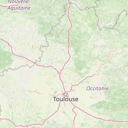
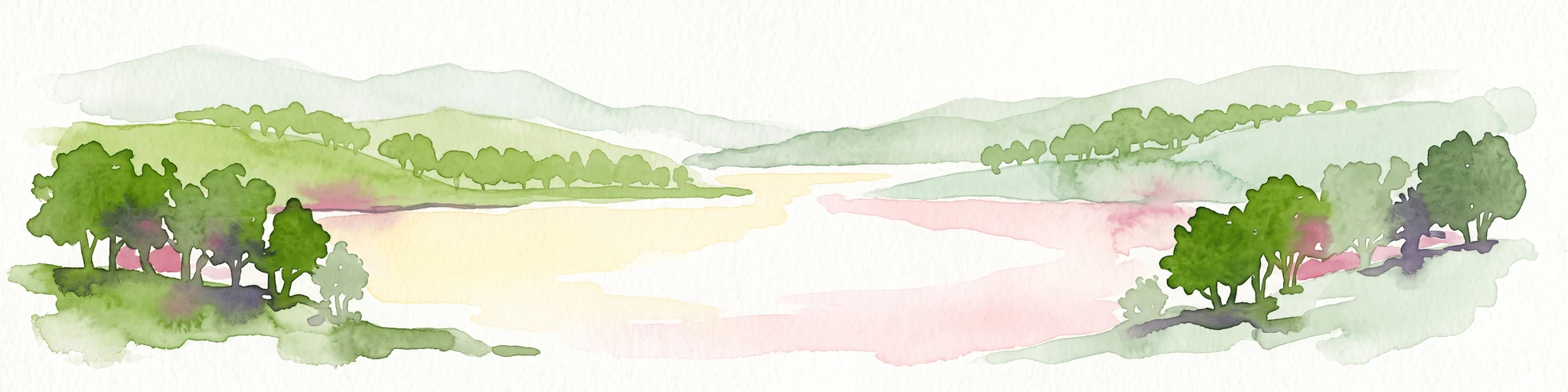
The park is best known for the vast, dry limestone plateaux of the Causses du Quercy, a classic karst landscape of bare rock, shallow soils, and centuries-old drystone agro-pastoral systems. The Causse de Gramat, the largest of these plateaux, anchors the park's identity with its open steppe-like expanses, while the lower-lying Quercy Blanc and the uplands of the Limargue add variety to the terrain. Equally defining is the contrast between the arid, windswept causses and the deeply incised river valleys that frame them, particularly the valleys of the Dordogne, the Lot, and the Célé, with cliffs, springs, and subterranean drainage typical of karst systems. The park is also internationally recognised for its geological heritage, joining the UNESCO Global Geopark network in 2017 in recognition of more than 200 million years of sedimentary and tectonic history.
Parc naturel régional des Causses du Quercy history and protected-area timeline
The process that led to the park began in the early 1990s, when Jean Dumas, then mayor of Gramat and a general councillor for the canton of Gramat, brought together his counterparts from the neighbouring cantons of Labastide-Murat, Livernon, and Lauzès. The aim of these informal discussions was to explore whether a Regional Nature Park could be created to protect and promote the Causses du Quercy.
These efforts led to formal recognition on 1 October 1999, when the Causses du Quercy received the Regional Nature Park label by decree under the government of Lionel Jospin. In May 2012, the park's perimeter was extended when five additional communes; Cajarc, Frayssinet, Soucirac, Flaujac-Poujols, and Albiac; adopted the park's charter, bringing the territory to its current configuration of 102 communes and 12 communautés de communes.
In parallel with its growth as a Regional Nature Park, several key zones within the territory have been listed under the Natura 2000 network, including the central zone of the Causse de Gramat and the lower valleys of the Célé and the Lot, reinforcing their protection at the European level. In 2017, the Causses du Quercy were awarded the UNESCO Global Geopark label, joining the Global Geoparks Network and reflecting the international significance of the area's geological and paleontological heritage.
A more recent and contested episode occurred in January 2023, when the prefect of the Lot, Mireille Larrède, signed a building permit for a photovoltaic power station covering about 19 hectares, including around 12 hectares of oak forest to be cleared. The episode illustrates the ongoing negotiation between energy transition goals and the conservation of the park's forest and landscape character.
Parc naturel régional des Causses du Quercy landscape and geographic character
The defining landform of the Causses du Quercy is the causse itself: a flat or gently undulating limestone plateau fringed by steeper slopes and dissected by deep river valleys. The Causse de Gramat, the largest in the park, is the archetype of this landform, with its broad, exposed surfaces and scattered sinkholes, or dolines, formed where surface water dissolves the underlying rock.
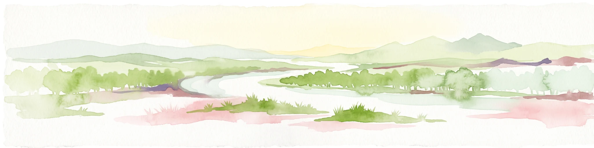
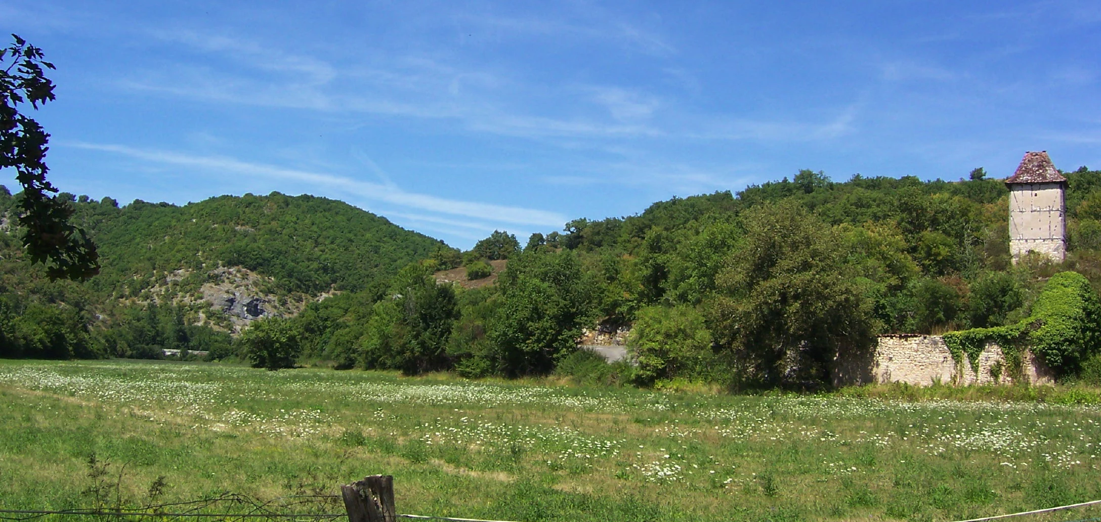
The park's valleys are equally central to its visual identity. The Dordogne river marks the northern limit of the protected area, while the Lot carves a broad corridor between limestone walls. The Célé, a tributary of the Lot, meanders through a long defile before joining the Lot. In places like the Ouysse, downstream of its confluence with the Alzou near Calès, the valley reveals typical combinations of cliff, river terrace, and wooded slope that are echoed across the park.
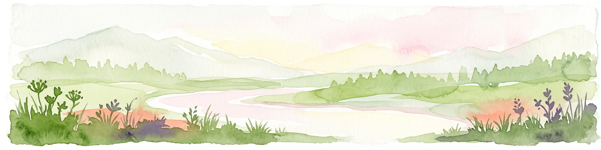
The southern portion of the territory, the Quercy Blanc, has a paler, more open character, with lighter soils and limestone pavements contributing to its name. East of the causses, the higher ground of the Limargue marks a transition toward the crystalline hinterland of the Massif Central, giving the park a varied eastern boundary. Across the whole area, the combination of horizontal causses and vertical valleys produces a layered skyline in which grasslands and bare rock give way abruptly to forests, meadows, and riverside villages.
Parc naturel régional des Causses du Quercy ecosystems, habitats, and plant life
Ecologically, the Causses du Quercy occupy a transitional position between the more humid uplands of the Massif Central and the dry, rocky plateaus to the south. The plateau surfaces are characterised by thin, stony soils supporting dry grasslands, juniper, scrub, and mosaics of small arable fields and pasture. These open environments are crucial for a range of species that depend on dry, sun-exposed habitats.
The river valleys of the Dordogne, Lot, and Célé contrast strongly with the causses. Here, deeper soils and higher moisture support deciduous woodland, with oak as a dominant species, alongside riparian vegetation adapted to seasonal flooding. The vertical cliffs that line the valleys host specialised cliff and cave fauna, and the karst systems beneath the plateaux are drained by resurgences such as the Ouysse, where water that has travelled through subterranean channels emerges at the surface.
The combination of arid plateaux, cliff habitats, riverine forest, and cave ecosystems creates a mosaic of conditions across the park. Several core areas, including the central Causse de Gramat, the lower Célé valley, and parts of the lower Lot valley, have been classified under the Natura 2000 network, recognising the importance of these habitats for European conservation priorities.
Parc naturel régional des Causses du Quercy wildlife and species highlights
The wildlife of the Causses du Quercy reflects its habitat mosaic. The dry plateaux and scrubby slopes support populations of small mammals and birds adapted to open, rocky environments, while the wooded valleys sustain more forest-dependent species. The cliffs along the Dordogne, Lot, and Célé provide nesting habitat for raptors and other cliff-nesting birds.
Beneath the surface, the karst systems harbour cave-dwelling fauna, including bats that use the network of caves and rock shelters as roosting and hibernation sites. Oak forests on the valley slopes and on parts of the plateau are a recurring feature of the park's habitat map, and are also the focus of certain conservation concerns, as illustrated by the 2023 debate over clearing oak forest for a photovoltaic installation.
Parc naturel régional des Causses du Quercy conservation status and protection priorities
Conservation is one of the central pillars of the park's work. The territory is recognised under IUCN Category V as a protected landscape, and the Regional Nature Park status itself is founded on balancing the protection of natural and cultural heritage with sustainable rural development. Several areas within the park are designated under the Natura 2000 network, including the central zone of the Causse de Gramat and sections of the lower Célé and Lot valleys, reflecting their importance for European biodiversity.
The park's UNESCO Global Geopark label, awarded in 2017, adds a geological and paleontological dimension to its conservation mandate. Sites such as the Plage aux ptérosaures, known for Late Jurassic pterosaur fossils, tie the conservation work directly to the deep-time history of the landscape.
At the same time, the park has become a focal point for debates about land use within protected areas. The 2023 authorisation of a photovoltaic power station that would clear part of an oak forest shows the park is also a working landscape, where conservation priorities must be weighed against other policy goals.
Parc naturel régional des Causses du Quercy cultural meaning and human context
The Causses du Quercy are home to a deeply rooted rural culture shaped by centuries of agro-pastoral life on the limestone plateaux. Traditional uses of the land, including transhumance sheep farming, hay meadows, drystone constructions, and small-scale agriculture, have given the causses much of their present visual identity, with stone walls, isolated burons, shepherd's huts, and dispersed hamlets.
The park's 102 member communes, grouped in 12 communautés de communes, preserve a network of villages with characteristic Quercy architecture, including stone houses, tiled roofs, and church towers that anchor many of the historic settlements. The interplay between the sparsely populated causses and the more clustered life of the river valleys has produced a varied cultural landscape, in which geology, agriculture, and settlement patterns are tightly intertwined.
Top sights and standout views in Parc naturel régional des Causses du Quercy
The Causses du Quercy's most distinctive feature is the contrast between flat, sun-exposed limestone plateaux and deeply cut river valleys, a setting produced by long karst erosion across the Massif Central's southwestern edge. The Causse de Gramat anchors the park with its immense, open surface and its network of dolines, while the Ouysse, the Célé, and the Lot add layered cliff-and-river scenery.
Equally notable is the park's dual recognition as both a French Regional Nature Park and a UNESCO Global Geopark, with fossil sites such as the Plage aux ptérosaures linking the region's pastoral, rural character to a deep paleontological heritage spanning more than 200 million years.
Best time to visit Parc naturel régional des Causses du Quercy
The causses are a landscape of strong seasons. Late spring and early summer are favoured for the flowering of dry grasslands and for warm, clear days on the plateau, while autumn brings quieter conditions, soft light over the limestone, and often pleasant temperatures for walking the cliff-edge footpaths along the Lot and the Célé. Winter can be cold and occasionally snowy on the higher causses, but it offers a stark, mineral atmosphere and excellent visibility for landscape viewing.
Summers are typically dry and warm, with the causses taking on their most arid, steppe-like character. Visitors who prefer lusher vegetation and stronger river scenery may find the valleys of the Célé and the Lot more attractive in the warmer months, when foliage softens the cliff lines and shaded riparian paths are at their most inviting.