
Mori Atlas logo
Park earthquake history

A historical catalogue of seismic events documented within the surrounding region.

Recorded Earthquake History and Seismic Activity Records for Pawnee National Grassland

Explore the collection of recorded earthquakes associated by proximity to Pawnee National Grassland. This database serves as a reference for historical seismic activity, providing organized details on event timing, magnitude, and epicentre distance for records originating in the vicinity of this Colorado grassland landscape.

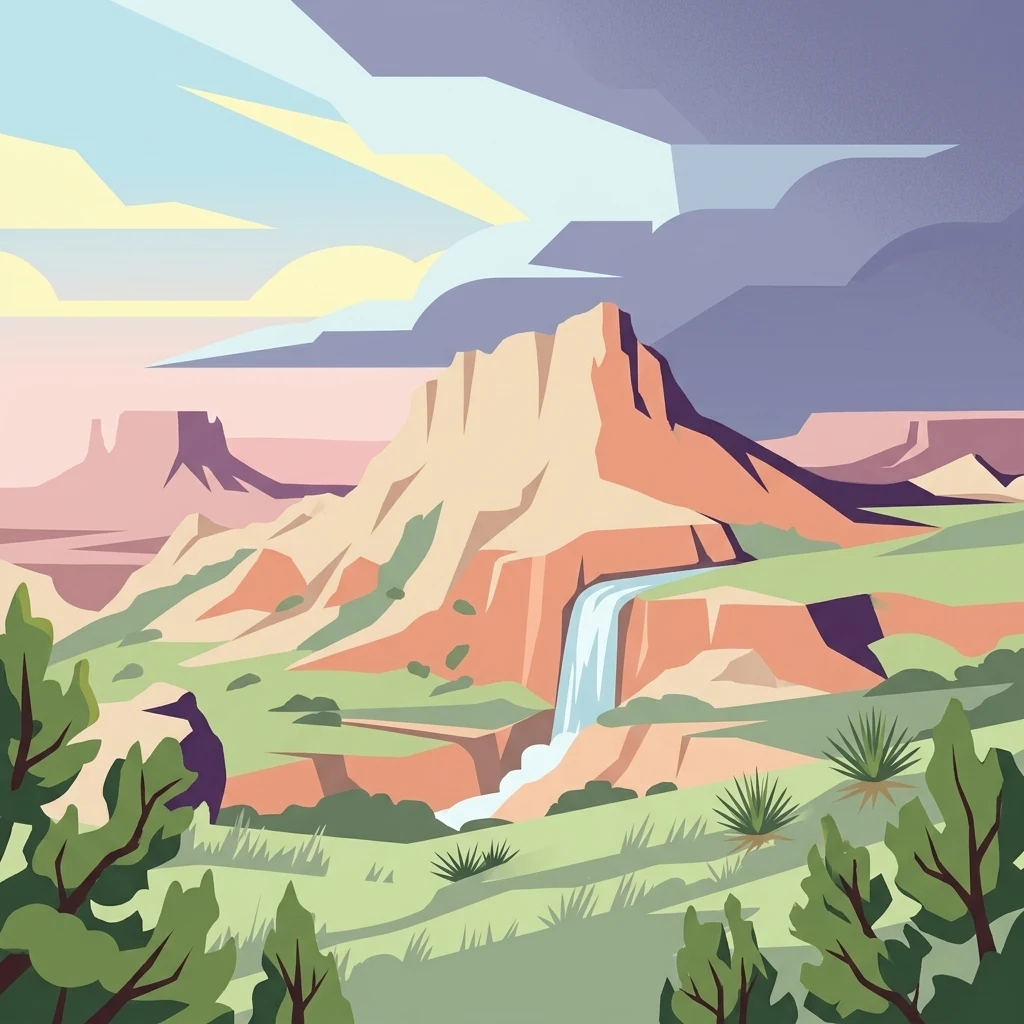
An illustration of arid grasslands with prominent mesas, a waterfall, and desert shrubs under a stormy sky.

A vast shortgrass prairie preserve on Colorado's eastern plains, anchored by the striking Pawnee Buttes.

Pawnee National Grassland

Pawnee National Grassland is a federally protected shortgrass prairie landscape in northeastern Colorado, administered by the U.S. Forest Service as a unit of the National Grassland system. It sits within the South Platte River basin in remote northern and extreme northeastern Weld County, between the cities of Greeley and Sterling. The grassland is split into two large parcels largely bordered by State Highway 14 to the south and the Wyoming line to the north, with the eastern parcel also touching Nebraska. Its defining natural feature is the Pawnee Buttes, rugged escarpment remnants that rise above the surrounding plains and shelter the best-preserved examples of shortgrass prairie ecosystem in the region. Beyond the buttes, the landscape stretches across semiarid plains of chestnut and brown soils, drained by Crow Creek in the west and Pawnee Creek in the east. The area offers a combination of wide-open prairie vistas, eroded cliff formations, arroyos, and scattered shrub- and woodland pockets, making it a distinctive destination for those interested in Great Plains ecology rather than mountain scenery.

Location
United States of America
Park type
Protected landscape
Established
1960
Area
781.3 km²
Pawnee National Grassland Protected Landscape

Review Pawnee National Grassland records by date and distance

Search historical earthquake observations near Pawnee National Grassland

Pawnee National Grassland covers 781.3 km² of arid United States upland, including grassland, steppe, cliffs, wetlands, rivers, and sparse forest. Its earthquake catalogue preserves the time, magnitude, depth, place label, source, and measured park distance for regional events, but does not convert nearness into a claim about grassland damage, active danger, or prediction.

Sort by
Magnitude
Location

This page describes catalogued earthquakes associated with the park by epicentre location and distance. It does not establish causation, assess current danger, or predict future earthquakes.

No earthquake records match the current filters

Park atlas

Continue beyond Pawnee National Grassland earthquake records

Explore more protected destinations after Pawnee National Grassland

Pawnee National Grassland covers 781.3 km² of arid United States upland cliffs, sparse forest, grassland, steppe, wetlands, and rivers. Its related park pages have separate seismic evidence and do not inherit this grassland setting, consequences, hazard, or recurrence.
A horizontal watercolor painting showing a range of purple and reddish-toned mountains in the distance, behind rolling green fields and a pale pinkish waterway in the foreground.
Protected landscapeColorado
35 km away#1 closest

West

Roosevelt National Forest: Mapping Wilderness and Protected Landscapes in Northern Colorado

Regional geography, river corridors, and alpine mountain terrain

Roosevelt National Forest encompasses a significant protected landscape across Larimer, Boulder, Gilpin, and Jefferson counties. The forest features a complex terrain of deep canyons, forested plateaus, and protected wilderness areas that form a scenic buffer along the eastern side of the Continental Divide and Rocky Mountain National Park.

Area
3,293.33 km²
Established
1902
Relief
Mountain
Climate
Subpolar
National parkColorado
70 km away#2 closest

West

Rocky Mountain National Park: National Park Protected Landscape in Colorado

Explore its mapped boundaries and regional geographic context.

Rocky Mountain National Park is a designated National Park within Colorado, crucial for understanding the distribution and geographic context of protected areas in the United States. This detail page provides an atlas-oriented perspective, emphasizing the park's mapped boundaries and its place within the natural landscape of the region. It is designed to facilitate a clear understanding of the park's protected status and its contribution to the atlas of natural landscapes, offering factual insights for geographic discovery.

Area
1,074.28 km²
Established
1915
IUCN
II
Visitors
4.2M annual
A watercolor painting of a mountain landscape featuring a small lake, grassy slopes, and conifer trees with a prominent rocky peak in the distance.
Wildlife reserveColorado
93 km away#3 closest

Southwest

Indian Peaks Wilderness: Alpine Geography and Front Range Protected Landscapes

Mapping high country summits and glacial basins in Colorado

Indian Peaks Wilderness stands as a signature wildlife reserve along the Colorado Continental Divide. This atlas entry focuses on its complex system of thirteen-thousand-foot peaks, relict glaciers, and interconnected alpine lakes that define the Front Range. Gain insight into the protected boundaries and glacial geomorphology that characterize this high-country landscape near the Denver metropolitan region.

Area
310.44 km²
Established
1978
IUCN
Ib
Relief
Mountain
A horizontal watercolor painting showing a soft mountain range in the distance, a midground forest, and a foreground area suggesting marshy ground or a meadow.
Wildlife reserveColorado
101 km away#4 closest

West

Never Summer Wilderness: Protected Mountain Geography and Alpine Terrain in Colorado

High-altitude wilderness along the Continental Divide

Spanning over 21,000 acres, the Never Summer Wilderness defines a critical segment of the Colorado Rockies. This protected area features a jagged skyline of 12,000-foot summits, extensive alpine tundra, and the remarkable old-growth spruce and fir forests of Bowen Gulch. Use these maps to understand its role as a vital headwater landscape and its position as a sanctuary for alpine wildlife and ecosystems.

Area
85.3 km²
Established
1980
IUCN
Ib
Relief
Mountain
Protected landscapeGrand County
107 km away#5 closest

Southwest

Arapaho National Recreation Area: Geographic Profile and Protected Landscape Context

High-country mountain reservoirs and forested mountain terrain

The Arapaho National Recreation Area defines a unique intersection of montane forest and water-based geography in Grand County, Colorado. As the home to the Great Lakes of Colorado, this protected landscape provides a critical connection point between the Colorado River headwaters and the Continental Divide. Examine the park's terrain, reservoir distribution, and its role as a forested gateway to the neighboring mountain regions.

Area
124.2 km²
Established
1978
Relief
Mountain
Climate
Alpine
A watercolor painting showing a panoramic view of mountain peaks in the background behind a forest landscape, set against a white background.
Wildlife reserveColorado
About 127 km away#6 closest

Southwest

James Peak Wilderness: Geographic Profile and Protected Landscape Mapping

High elevation terrain in the Colorado Rockies

James Peak Wilderness provides a critical protected landscape featuring dramatic alpine summits, U-shaped glacial valleys, and subalpine meadows. Its geographic structure forms an essential ecological link along the Colorado Front Range, characterized by high-elevation peaks, dense coniferous forests, and diverse tundra ecosystems situated immediately east of the Continental Divide.

Area
68.86 km²
Established
2002
IUCN
Ib
A horizontal watercolor painting depicting a winding river flowing through a green valley with purple-tinted mountain ranges in the background.
Wildlife reserveWyoming
132 km away#7 closest

West

Platte River Wilderness: Geography and Protected Landscape Atlas

Mapping wild river corridors and mountain forest terrain across Wyoming and Colorado.

Platte River Wilderness preserves a vital stretch of the North Platte River, carving through mountain ranges with steep canyon walls and rocky gorges. The terrain offers a distinct profile of conifer forests and shifting river landscapes. This protected area stands as a primary example of wilderness administration, managing complex river-based topography and regenerating mountain habitat for regional wildlife populations.

Area
95.07 km²
Established
1984
IUCN
Ib
Relief
Mountain
A watercolor painting showing purple and white mountain peaks rising above green rolling hills and meadows in a wide panoramic format
Protected areaColorado
133 km away#8 closest

Southwest

Mount Evans Wilderness: Alpine Landscapes and Protected Geography in Colorado

Glacial cirques and high-altitude wilderness ecosystems.

Mount Evans Wilderness offers a premier look at the Colorado Front Range, defined by its dramatic relief, sheer cliff lines, and extensive glacial history. This entry examines the wilderness as a protected zone that transitions from montane forests to tundra, providing a reference for high-elevation mountainous geography within the United States.

Area
301.09 km²
Established
1980
IUCN
Ib
Relief
Mountain
MoriAtlas Explorer

Investigate the Protected Geography of Pawnee National Grassland

Deepen your understanding of Pawnee National Grassland by examining its mapped prairie terrain and geologic escarpments. This MoriAtlas destination provides clear geographic context for the shortgrass ecosystems and sedimentary formations that characterize this essential Colorado protected landscape.