
Mori Atlas logo
Protected areaRakitu Island

A predator-free offshore sanctuary characterized by rugged rhyolite domes and native coastal forest

Rakitu Island Protected Area: Mapping the Volcanic Coastlines and Island Landscapes of Auckland Region

Rakitu Island serves as a significant protected landscape within the Hauraki Gulf, offering a compact study in volcanic geology and island restoration. The island sits as an eroded remnant of ancient rhyolite domes, where steep coastal cliffs transition into sheltered valleys and regenerating native forests. As a managed predator-free sanctuary, this protected area provides a rare glimpse into the self-contained geography and ecological recovery of New Zealand's offshore maritime environments.

islandscenic reservepredator-free sanctuaryvolcanic geologyrhyolite domescoastal cliffs
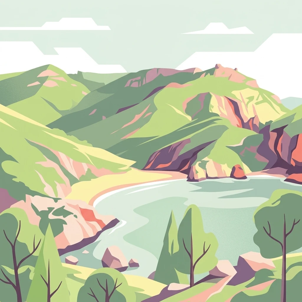
A flat-style digital illustration showing a sheltered bay surrounded by green hills, rocky cliffs, and sparse trees under a light sky.

Rakitu Island

Protected area

Park overview

Structured park overview, official facts, and landscape profile for Rakitu Island

Rakitu Island park facts, protected area profile, and essential visitor context

Review the core facts for Rakitu Island, including designation, size, terrain, visitor scale, habitats, and operating context in one park-focused overview.

About Rakitu Island

Rakitu Island is one of the smaller but ecologically meaningful islands scattered around New Zealand's Hauraki Gulf, located just off the northeast coast of Great Barrier Island in the Auckland Region. Although only about 2.5 square kilometres in area, the island carries a layered identity shaped by ancient volcanism, Māori settlement history, European-era whaling and farming, and contemporary conservation. Its remoteness from the mainland and its formal protected status have combined to make it a quiet but biologically significant refuge in the regional seascape.

The island's terrain is dominated by steep coastal cliffs that rise dramatically from the sea, giving way inland to a central valley and a mosaic of regenerated native vegetation. Once cleared for cultivation and shaped by generations of cattle grazing, the landscape has been gradually returning toward a more natural forest cover, with mānuka, kānuka, and coastal pōhutukawa among the most recognisable species. This mix of recovering farmland and surviving coastal forest produces a distinctive patchwork character uncommon on heavily forested offshore islands.

Rakitu's importance today rests largely on its conservation role. Purchased by the Department of Conservation in 1994 and declared predator free in 2020, the island has become a safe haven for native birdlife that has been lost or reduced on the mainland. Its predator-free status, combined with its cultural significance to Ngāti Rehua Ngātiwai ki Aotea, places Rakitu at the intersection of ecological restoration and indigenous heritage within one of New Zealand's most important maritime regions.

Quick facts and research context for Rakitu Island

Rakitu Island lies about 2.5 kilometres off Great Barrier Island in the Auckland Region, sheltering the bay of Whangapoua Creek. It is uninhabited, with an indigenous cultural association to Ngāti Rehua Ngātiwai ki Aotea, and it has been a New Zealand scenic reserve since 1994. The island covers about 2.5 square kilometres, rises to roughly 220 metres at its highest point, and was declared predator free in 2020.

Protection and recognition

Documented designation records and management scope for Rakitu Island

Rakitu Island Protection Status and Terrestrial Conservation History

Rakitu Island holds a documented terrestrial protection status established in the designation year 1994. Review the official conservation scope, historical designation records, and international recognition details for this protected area.

Protection details

Protection scope
Terrestrial
Designated year
1994
Transboundary protection
No
Park context

Deeper park guide and search-rich context for Rakitu Island

Rakitu Island history, landscape, wildlife, and travel context

Explore Rakitu Island through its history, landscape character, ecosystems, wildlife, conservation priorities, cultural context, and seasonal travel timing in a structured park guide built for atlas discovery and search intent.

Why Rakitu Island stands out

Rakitu is best known as a predator-free offshore sanctuary within the Hauraki Gulf, where steep rhyolite cliffs, retired farmland gullies, and coastal pōhutukawa forest create a self-contained refuge for native bird species. Its combination of ancient volcanic geology, traditional Māori occupation history, and modern conservation management makes it a standout example of a small-scale island restoration landscape.
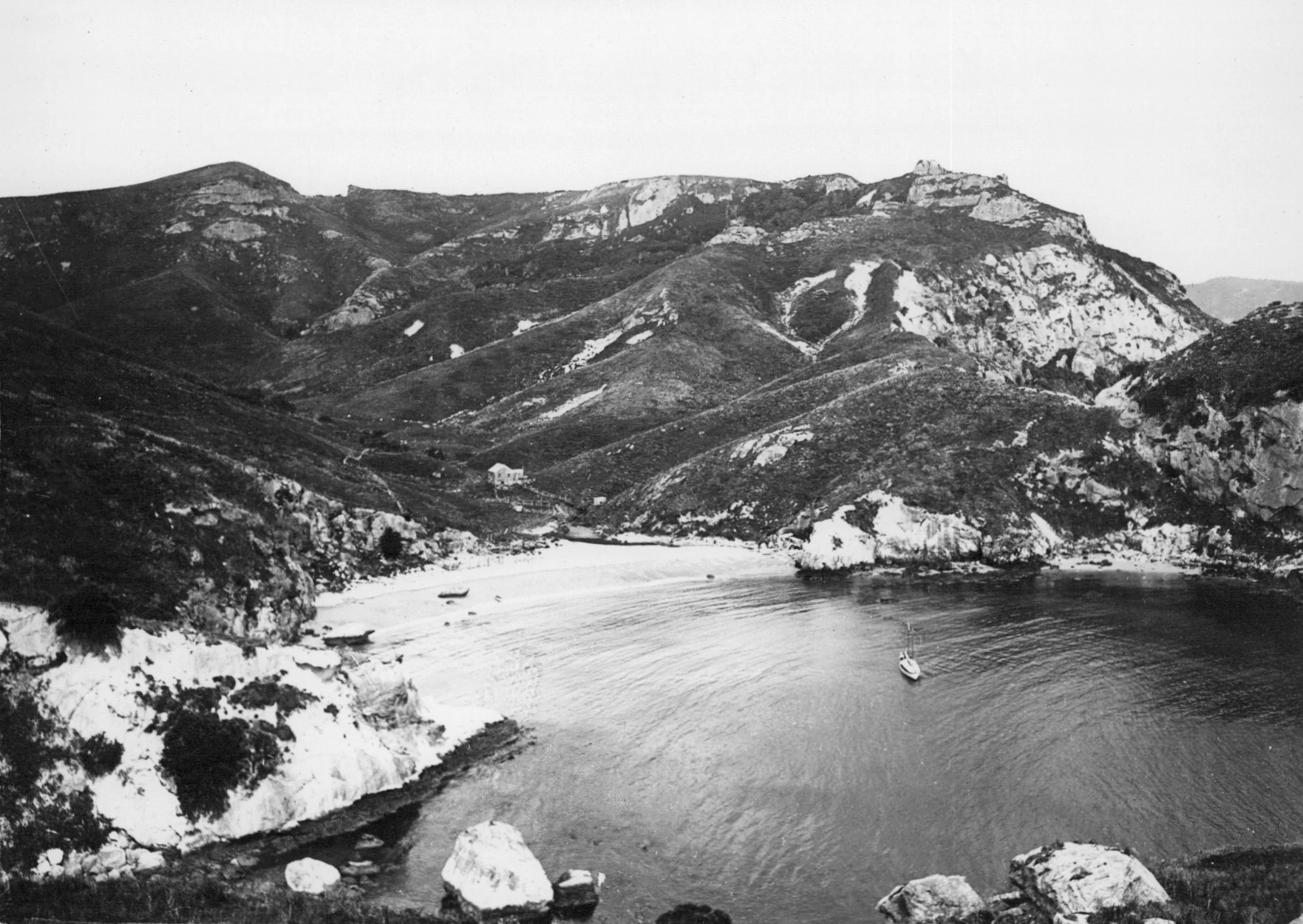
A black and white archival photograph showing a protected coastal bay on Rakitu Island, with steep rocky hills rising above a sandy beach and calm water where a small boat is visible.
A historical black and white view of the harbour and surrounding hills of Rakitu Island.

Rakitu Island history and protected-area timeline

Rakitu Island lies within the traditional rohe of Ngāti Rehua Ngātiwai ki Aotea and is associated with the ancestor Rehua, who gives his name to the namesake hapū. The island was once a working Māori landscape, with the central valley cleared for cultivation and at least three pā sites alongside several kāinga established across the terrain. These features reflect a settled, food-producing use of the island rather than a purely seasonal or ceremonial one.

During the early European period, whalers used Rakitu as an operational base, taking advantage of its sheltered bays and proximity to broader Hauraki Gulf whaling grounds. After this phase, European settlers turned the island primarily into cattle grazing country, and traces of that agricultural past remain visible in the open valleys and disturbed areas today.

A turning point came in 1994, when the island was purchased by the Department of Conservation and designated a scenic reserve, formally shifting its management toward protection. In 2020, Rakitu was declared predator free, marking a new chapter focused on ecological recovery and the long-term security of its native species.

Rakitu Island landscape and geographic character

Rakitu's landscape is shaped by the eroded remnants of two late Miocene rhyolite domes, part of the broader Whitianga Group that erupted across the Coromandel and Hauraki region between roughly 8 and 12 million years ago. The erosional history of these volcanic structures has left the island with a high, rugged profile dominated by steep coastal cliffs that rise directly from the sea, reaching around 180 metres in vertical relief.

Inside the cliff perimeter, the central valley forms the island's topographical heart, offering a gentler contrast to the enclosing walls of rock. This valley was once cleared for cultivation and later used for grazing, but it now reads as a transitional zone between open regrowth and denser native cover. The combination of sharp coastal drops, sheltered embayments, and an interior valley gives Rakitu a compact but visually varied silhouette when viewed from the surrounding waters.

Rakitu Island ecosystems, habitats, and plant life

The vegetation of Rakitu Island reflects both its post-agricultural history and its position within the northern Hauraki Gulf. Coastal pōhutukawa forest clings to the cliff edges and warmer slopes, while inland areas are dominated by stands of mānuka and kānuka, two of New Zealand's most resilient early-successional native trees. Pockets of older forest survive alongside these regenerating communities, producing a mixed habitat structure across the relatively small land area.

Because there are no permanent residents and grazing pressure has ended, the island's vegetation patterns are steadily moving toward greater natural complexity. Regrowth in formerly cleared valleys is gradually closing gaps, and the contrast between cliff-edge coastal forest and regenerating interior scrub supports a range of habitat conditions unusually close together. This mosaic of recovering farmland, coastal forest, and cliff-top heath contributes to the island's ecological value beyond its modest size.

Rakitu Island wildlife and species highlights

Rakitu's value as wildlife habitat is closely tied to its protected status and, especially, its predator-free designation achieved in 2020. By eliminating introduced mammalian predators, the island has become a secure refuge for native bird species that have declined across much of the mainland. The mixture of coastal forest, regenerating scrub, and open valley creates a range of feeding and nesting conditions that support a diverse suite of native avifauna.

Even before its formal predator-free declaration, Rakitu was recognised as an important island sanctuary within the Hauraki Gulf. With ongoing management through the Department of Conservation, the island now plays a role in the wider network of predator-free offshore islands that underpin New Zealand's native species recovery efforts.

Rakitu Island conservation status and protection priorities

Rakitu's conservation profile rests on three linked milestones: its purchase by the Department of Conservation in 1994, its gazetting as a scenic reserve, and its declaration as predator free in 2020. Each step built on the previous one, transforming the island from a privately grazed and ecologically vulnerable site into a managed refuge for native species. The scenic reserve designation provides the legal framework for protection, while predator-free status enhances the practical habitat value of the island.

Within the wider Hauraki Gulf, Rakitu forms part of a network of offshore islands that together maintain populations of birds, invertebrates, and plants that have disappeared from the mainland. Its relative isolation, compact size, and now-secured predator status make it an efficient conservation unit, contributing disproportionately to regional biodiversity outcomes for its small footprint.

Rakitu Island cultural meaning and human context

Rakitu Island sits within the cultural landscape of Ngāti Rehua Ngātiwai ki Aotea, a hapū whose identity is closely entwined with the islands of the northern Hauraki Gulf, including Aotea Great Barrier. The hapū's namesake ancestor, Rehua, is traditionally associated with Rakitu, and the island once supported pā sites, kāinga, and cultivated areas that reflect sustained Māori occupation rather than transient use.

These cultural layers remain embedded in the island's place names, traditional rohe boundaries, and broader Ngātiwai sense of identity. Recognising Rakitu as both a conservation site and a cultural landscape is central to how its ongoing management is understood in contemporary contexts.

Top sights and standout views in Rakitu Island

Rakitu Island's standout qualities include its predator-free status, its steep rhyolite cliff coastline, and its layered human history stretching from classical Māori settlement through whaling and farming to modern reserve management. The compact scale of the island, combined with the variety of habitats packed into a small area, makes it an unusually efficient refuge for native biodiversity.

Best time to visit Rakitu Island

As an uninhabited scenic reserve with no public facilities, Rakitu Island is best appreciated from the sea or, where permitted, via careful shore landings. The most comfortable conditions for approaching or viewing the island by boat typically occur during the calmer warmer months, when Hauraki Gulf seas are generally steadier and the coastal pōhutukawa are most likely to be flowering. Cooler months can bring rougher conditions around the steep cliffs, making access more challenging and reinforcing the island's sense of remoteness.
Monthly climate preview

Long-term representative point measurements tracking monthly averages across the Auckland Region

Rakitu Island Climate Normals: Annual Temperature and Precipitation Rhythms

Historical data records sustained temperature shifts alongside measured precipitation variations across twelve distinct intervals at Rakitu Island. Detailed monthly breakdowns provide comprehensive climate normals for analyzing long-term environmental patterns.
Annual mean17 °C
14 °C20 °C
Jan20°
Feb20°
Mar20°
Apr19°
May17°
Jun15°
Jul14°
Aug14°
Sep14°
Oct15°
Nov16°
Dec18°
Warmest month
February

20.5 °C

Coolest month
August

14 °C

Wettest month
July

3.7 mm/day

Driest month
January

1.8 mm/day

Park location guide

Geography guide, regional context, and park location map for Rakitu Island

Rakitu Island park geography, regions, and map view in New Zealand

Understand where Rakitu Island sits in New Zealand through a broader geographic reading of the surrounding landscape, nearby location context, and its mapped position within the national park landscape.

How Rakitu Island fits into New Zealand

New Zealand is an island nation in the southwestern Pacific Ocean comprising two main islands and numerous smaller islands. Located east of Australia across the Tasman Sea, it features varied topography with the Southern Alps running along the South Island and volcanic terrain on the North Island. The country was settled by Maori people between 1280 and 1350, followed by European exploration beginning in 1642, and became a Dominion in 1907 before gaining full independence in 1947.

Wider geography shaping Rakitu Island in New Zealand

New Zealand lies in the southwestern Pacific Ocean, east of Australia across the Tasman Sea. The country consists of two main islands, the North Island and South Island, plus over 600 smaller islands. The North Island features volcanic plateaus and hills while the South Island is dominated by the Southern Alps mountain range. The country has a long coastline and is surrounded by the Pacific Ocean.

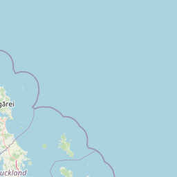
Map view of Rakitu Island

Use this park location map to pinpoint Rakitu Island in New Zealand, understand its exact geographic position, and read its mapped placement within the surrounding landscape more clearly.

Pigeon | © OpenStreetMap contributors

Location context for Rakitu Island

Auckland Region

Explore high-resolution photography capturing the rugged terrain and coastal scenery of the Hauraki Gulf sanctuary.

Rakitu Island Photos and Landscapes: Visualizing Volcanic Cliffs and Protected Habitats

Visual records reveal the steep rhyolite cliffs, sheltered valleys, and recovering native forests that define the protected landscape of Rakitu Island. Examining these field photographs provides a clearer understanding of the isolated topography, volcanic origins, and offshore restoration efforts shaping the local ecosystem.

A black and white archival photograph showing a protected coastal bay on Rakitu Island, with steep rocky hills rising above a sandy beach and calm water where a small boat is visible.

Park atlas

Compare adjacent coastal reserves and offshore sanctuary geography across the Hauraki Gulf

Parks Near Rakitu Island and Surrounding Regional Protected Landscapes

Browse protected areas and island reserves located near Rakitu Island to compare coastal terrain across the wider Hauraki Gulf region. Extending exploration beyond a single offshore sanctuary reveals broader patterns in regional volcanic geography and native bird refuges.
Wildlife reserveNew Zealand
About 42 km away#1 closest

Southeast

Cuvier Island Wildlife Reserve: Volcanic Geography and Conservation Sanctuary

Protected island terrain in New Zealand's Hauraki Gulf

Cuvier Island is a rugged, forested volcanic landmass serving as a protected wildlife sanctuary. This uninhabited site plays an essential role in New Zealand island restoration efforts, acting as a habitat for vulnerable seabirds and representing a unique intersection of volcanic topography and focused environmental recovery.

Area
1.95 km²
Relief
Upland
Access
Highly restricted
Scope
Mixed
A watercolor painting showing a soft, bright landscape with green grasses and wildflowers on both sides of a calm, pale blue body of water, with a green coastline in the distance.
Marine protected areaNew Zealand
About 63 km away#2 closest

West

Cape Rodney-Okakari Point Marine Reserve: New Zealand Marine Protected Area Geography

Mapped coastal boundaries and marine ecosystem terrain

Delve into the geography of Cape Rodney-Okakari Point Marine Reserve, where protected waters meet a complex interface of greywacke bedrock and sandy substrates. This assessment highlights the ecological transition from exposed rocky headlands to sheltered Whangateau Harbour, illustrating the structural depth of New Zealand's foundational marine site through its diverse invertebrate and fish habitats.

Area
5.5 km²
Established
1975
IUCN
Ia
Visitors
200K annual
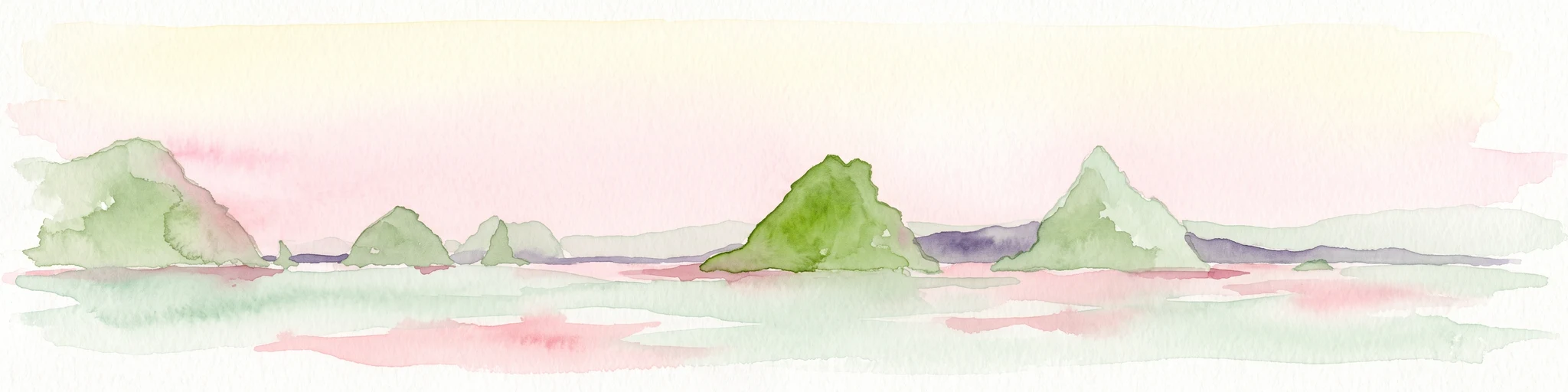
A soft watercolor illustration of green island peaks rising from a calm pinkish water surface against a light, hazy sky.
Nature reserveNew Zealand
About 63 km away#3 closest

Southeast

Mercury Islands Nature Reserve: Volcanic Landscapes and Protected Island Geography

A coastal island group off the Coromandel Peninsula, New Zealand

The Mercury Islands form a structured volcanic chain characterized by dramatic cliffs, sheltered coves, and critical pest-free ecosystems. This protected area holds international significance for its seabird colonies and the well-preserved archaeological sites associated with early Māori history across the islands.

Established
1769
Relief
Upland
Access
Remote access
Scope
Mixed
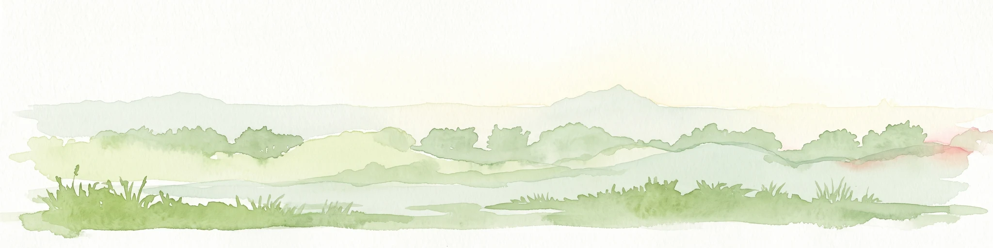
A watercolor illustration of a soft green hilly landscape with distant peaks against a white background.
Nature reserveNew Zealand
About 72 km away#4 closest

West

Hen and Chicken Islands Nature Reserve: Mapped Geography and Protected Island Terrain

Archipelago sanctuary and volcanic landscape offshore of New Zealand

Explore the geographic structure of the Hen and Chicken Islands, an uninhabited nature reserve that serves as a vital predator-free sanctuary. The archipelago displays varied volcanic terrain, from the dramatic central ridge of Hen Island to the rugged rocky reefs of the Marotiri islets, offering a clear window into the ecological conservation landscapes of the Northland region.

Area
8.44 km²
Established
1908
Relief
Highland
Climate
Subtropical
Regional parkAuckland Region
About 74 km away#5 closest

West

Te Ārai Regional Park: Mapping Coastal Dune Systems and Protected Geography in Auckland

A protected coastal landscape featuring expansive dune systems and northern headlands.

Te Ārai Regional Park sits as a major protected coastal area on the northern edge of the Auckland Region. Its primary defining feature is an expansive system of sand dunes that anchor a diverse coastal environment. Extending southward toward Poutawa Stream and bordered by the Mangawhai Forest, the park represents a critical geography for endangered species breeding and provides a distinct topographic profile along the North Island coast.

Established
2008
Relief
Lowland
Climate
Subtropical
Access
Easy access
A soft watercolor illustration showing the low-lying shape of Motuora Island surrounded by calm water, with a distant hilly coastline in the background.
Nature reserveNorth Island
About 76 km away#6 closest

Southwest

Motuora Nature Reserve: Protected Coastal Island Geography and Restoration Map

Predator-free ecological sanctuary in the Hauraki Gulf

Motuora occupies a key position in the Hauraki Gulf, offering a well-mapped look at coastal island restoration in New Zealand. This protected area features a regenerated forest interior and cliff-edged terrain, serving as an important mainland-island site for avian conservation, including kiwi and petrel colonies.

Area
0.8 km²
Established
1965
Relief
Lowland
Climate
Subtropical
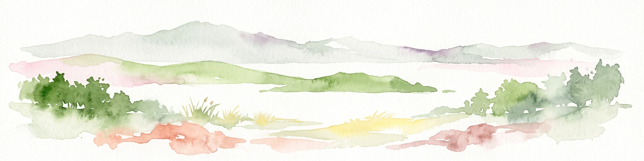
A soft, watercolor painting of a coastal landscape featuring green rolling hills, distant pale mountains, and patches of vegetation against a white background.
Nature reserveAuckland Region
About 81 km away#7 closest

South

Rotoroa Island Nature Reserve: Mapping the Geography of this Hauraki Gulf Sanctuary

A vital protected island terrain for native species and reforestation

Rotoroa Island serves as a managed conservation landscape within the Hauraki Gulf, defined by its role as a pest-free sanctuary for threatened bird populations and intensive native forest restoration. The island offers a distinct geography that combines maritime coastal terrain with a rich history of social welfare, preserved through intentional land management and active environmental rehabilitation efforts near the Auckland coast.

Area
0.82 km²
Established
2011
Relief
Lowland
Scope
Terrestrial
Regional parkAuckland Region
About 82 km away#8 closest

Southwest

Te Muri Regional Park: Mapped Coastal Peninsula and Estuarine Geography in Auckland

Protected native forest and tidal estuary landscapes

Te Muri Regional Park presents a unique peninsular landscape situated between the Puhoi River and Te Muri O Tarariki Stream in Auckland. This protected area showcases a complex interface between native coastal forest and tidal ecosystems, offering clear mapped boundaries that connect to the wider Hauraki Gulf coastal belt. Explore the topographical transition from sea level estuaries to rolling hill country.

Area
4.44 km²
Established
2010
Relief
Upland
Scope
Terrestrial

Common questions about visiting, size, designation, and location context for Rakitu Island

Rakitu Island FAQs for park facts, access, geography, and protected area context

Find quick answers about Rakitu Island, including protected-area facts, park geography, trail and visitor context, and how the park fits into its surrounding country and regional landscape.
MoriAtlas Explorer

Continue Your Protected Areas Search Across the Global Atlas

Deepen your exploration by continuing the structured search for national parks and protected areas worldwide. Utilize the comprehensive filtering capabilities to compare different conservation landscapes and refine your understanding of global park geography. Discover more about the distribution and characteristics of protected natural areas.

Global natural geography