Mori Atlas logo
Park earthquake history

A mapped catalogue of seismic activity in the vicinity of the Hauts-de-France protected woodland

Historical Earthquake Records Associated with Réserve naturelle régionale du bois d'Encade

This collection presents a catalogue of recorded earthquakes with epicentres situated in the surrounding landscape of the Réserve naturelle régionale du bois d'Encade. Each entry documents significant parameters including event date, magnitude, depth, and distance from the reserve, providing a clear record of regional seismic occurrences. The provided data assists in understanding the historical distribution of seismic activity within the context of the Hogneau valley geography.

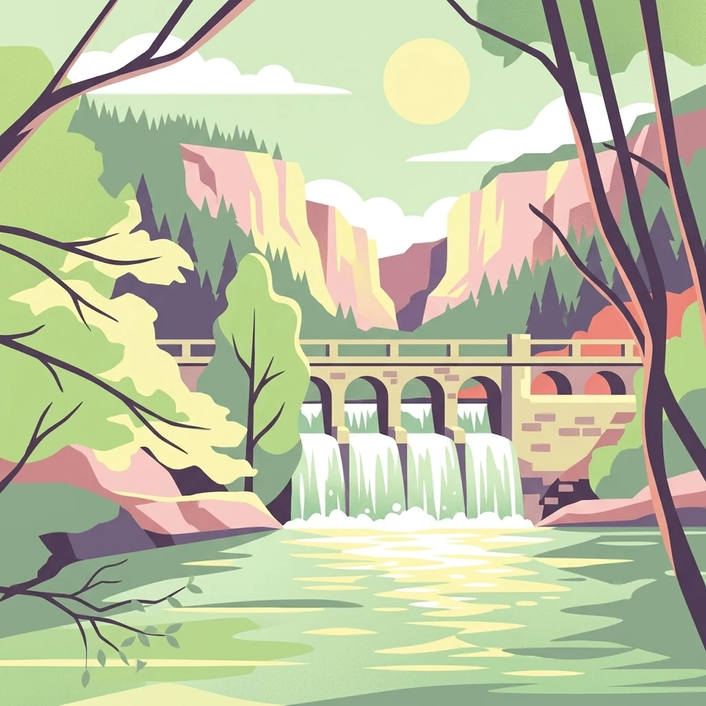
A vector illustration of a river scene featuring a stone bridge with arches acting as a dam, water cascading down, framed by trees and rocky cliffs in the background under a sun.

A small wooded riverside refuge protecting one of the last diverse forest patches of the Hogneau valley.

Bois d'Encade Regional Nature Reserve

The Bois d'Encade Regional Nature Reserve is a small but ecologically important protected area in the Hauts-de-France region of northern France, set along the Hogneau river in the Nord department. Covering just over two hectares in the communes of Bettrechies and Gussignies, the reserve preserves one of the last diversified woodland stands in a region otherwise dominated by intensive cereal agriculture. Its compact size belies its ecological role: the site functions as a biodiversity island and a strategic node in the reconstruction of biological corridors across the surrounding agricultural plain. The landscape is a mosaic of mature woodland, open rocky clearings, abandoned marble quarry workings, and riverside vegetation along the Hogneau. Steep valley slopes host natural forest and former coppice, while a large sunlit clearing near the ruins of an old marble works supports a distinctive flora on rock faces and walls. The combination of deciduous woodland, shaded cliffs, a flowing river, and disturbed quarry habitats gives the reserve an unusually varied habitat profile for such a small area. Ecologically, the reserve is recognized for two habitat types of European Community interest: a tall-herb megaphorb community and a fern-rich chasmophyte community colonizing humid rock crevices. It supports around 325 recorded plant species overall, more than 80 bird species, bats, amphibians, woodland invertebrates tied to dead wood, and a notable butterfly assemblage. Threats include over-visitation, eutrophication, and invasive species such as Japanese knotweed, which the reserve's protected status is intended to help manage.

Location
France
Park type
Nature reserve
Established
2001
Area
0 km²
Explore Réserve naturelle régionale du bois d'Encade

Compare Réserve naturelle régionale du bois d'Encade records by distance

Explore earthquakes near Réserve naturelle régionale du bois d'Encade

Réserve naturelle régionale du bois d'Encade covers 0.021 km² of French lowland forest, cliffs, rivers, and valleys from 83 metres upward. Its seismic search provides auditable regional records without converting geographic proximity into a claim about reserve impacts, current danger, or recurrence.

Sort by
Magnitude
Location

This page describes catalogued earthquakes associated with the park by epicentre location and distance. It does not establish causation, assess current danger, or predict future earthquakes.

No earthquake records match the current filters

Park atlas

Move past Réserve naturelle régionale du bois d'Encade earthquake history

Browse more parks beyond Réserve naturelle régionale du bois d'Encade

Réserve naturelle régionale du bois d'Encade covers 0.021 km² of French lowland forest, cliffs, rivers, and valleys from 83 metres upward. Continue to other park earthquake pages for independent spatial evidence, without extending this reserve’s scale, terrain, possible impacts, or hazard to them.
A pale, soft watercolor painting showing a rolling landscape with gentle green hills, grassy foreground, and distant hazy ridges under a white sky.
Nature reserveHauts-de-France
4.2 km away#1 closest

Southeast

Réserve naturelle régionale de la carrière des Nerviens, Protected Nature Reserve and Habitat Mosaic

Regional landscape context in Hauts-de-France, France

Spanning approximately three hectares, this nature reserve in the Hauts-de-France region serves as a dense habitat mosaic formed on former quarry lands. The site preserves regionally protected orchid species and rare plant formations through focused conservation management, offering a compelling look at post-industrial ecological succession and calcareous flora.

Area
0.031 km²
Established
2009
IUCN
IV
Relief
Lowland
Protected areaNord
9.4 km away#2 closest

West

Vallées de la Scarpe et de l'Escaut Protected Landscape Geography and Map Context

Wetland mosaic, subsidence lakes, and river floodplains in Nord

Examine the physical geography of the Scarpe and Escaut Valleys, a premier wetland site in northern France. The protected area features a mosaic of marshes, wet meadows, and mining-subsidence lakes that provide vital habitats for migratory waterbirds and support carbon storage through rare alkaline peatlands.

Area
276.22 km²
Established
2020
Relief
Lowland
Scope
Terrestrial
A horizontal watercolor illustration depicting rolling green hills, meadows, and a small stream or body of water.
Protected landscapeProvince de Hainaut
About 10 km away#3 closest

East

Parc naturel des Hauts-Pays: Geography and Protected Landscape Analysis

Tracing the forest corridors and river valleys of the Walloon region

Situated along the Franco-Belgian border, Parc naturel des Hauts-Pays offers a rare look at an intact bocage and forest landscape. The area is defined by the Grande Honnelle river valley, calcareous grasslands, and high-quality broadleaf woods. Its unique geographic location acts as a critical refuge for rare plant species and preserves a traditional rural identity that has survived across a complex watershed divide.

Area
157 km²
Established
2000
IUCN
V
Nature reserveHauts-de-France
14 km away#4 closest

Southeast

Réserve naturelle régionale de Pantegnies: Protected Landscape and Regional Map Overview

A managed nature reserve in the Hauts-de-France region

Réserve naturelle régionale de Pantegnies covers 37 hectares of protected terrain near Pont-sur-Sambre. This IUCN Category IV site serves as a vital anchor for regional biodiversity management, offering a clear case study in the preservation of northern French landscapes through formal regional nature reserve status.

Area
0.37 km²
Established
2013
IUCN
IV
Scope
Terrestrial
A watercolor painting showing a soft, panoramic landscape with green hills in the distance, a meandering stream in the foreground, and grassy banks with subtle pink floral highlights.
Nature reserveHauts-de-France
20 km away#5 closest

South

Réserve naturelle régionale des Prairies du Val de Sambre: Regional Nature Reserve Atlas

Wetland floodplain meadows in the middle Sambre valley

The Réserve naturelle régionale des Prairies du Val de Sambre protects essential wet grassland habitats in northern France. Spanning approximately 49 hectares along the canalised Sambre, this protected area maintains traditional meadow systems that support wetland-dependent species; it represents a key junction in the regional landscape between the Mormal forest and Thiérache bocage.

Area
0.494 km²
Established
2012
IUCN
IV
A watercolor painting of a pastoral landscape featuring a grassy foreground with a small pool of water, a line of trees, and soft hills in the background.
Protected landscapeHainaut
About 20 km away#6 closest

Northwest

Parc naturel des Plaines de l'Escaut: Geographic Overview of the Hainaut Protected Area

Scheldt valley wetlands, forested ridges, and historical landscape estates.

Located in the Hainaut province of Belgium, Parc naturel des Plaines de l'Escaut protects a complex mosaic of lowlands and heritage sites. This area integrates wetlands, heathland openings, and castle estates within a heavily humanized region. Learn about its role as a cross-border protected entity and its contribution to the pan-European ecological network through its varied terrain and water-dominated geography.

Area
465 km²
Established
1996
IUCN
V
Relief
Lowland
Protected areaHauts-de-France
About 27 km away#7 closest

Southwest

Neuvilly Protected Area: Geography, Mapped Boundaries, and Regional Landscape Context

A detailed geographic overview of protected lands in Hauts-de-France.

Gain insights into the Neuvilly protected area through detailed mapping and geographic analysis. This resource provides a clear breakdown of the site footprint and its place within the Hauts-de-France landscape, ensuring a structured understanding of its ecological boundaries and regional significance for mapping and environmental study.

Area
0.193 km²
Established
1990
Climate
Temperate
Scope
Terrestrial
Watercolor painting of a soft, hazy landscape featuring low hills in the background and marshy wetlands in the foreground with pastel shades of green, yellow, and soft pink.
Nature reserveHauts-de-France
About 35 km away#8 closest

West

Réserve naturelle régionale du pré des Nonnettes: Regional Nature Reserve and Wetland Atlas

Alluvial marshland and hay meadow terrain in the Hauts-de-France

The Réserve naturelle régionale du pré des Nonnettes preserves a rare wet hay meadow habitat within the Marais du Vivier. Located in the lower Scarpe river valley, this nature reserve integrates marshy ground, ponds, and riparian woods to support a concentrated mosaic of wetland biodiversity. MoriAtlas provides detailed geographic context for this protected site and its significance within the larger Hauts-de-France wetland conservation network.

Area
0.173 km²
Established
2008
IUCN
IV
Relief
Lowland
MoriAtlas Explorer

Trace the Ecological Boundaries of Réserve naturelle régionale du bois d'Encade

Continue exploring the protected geography and varied terrain of this Hauts-de-France nature reserve. MoriAtlas provides detailed insight into how this woodland mosaic serves as an essential biodiversity refuge and strategic corridor within the surrounding agricultural matrix.