
Mori Atlas logo
Nature reserveRéserve naturelle régionale du bois d'Encade

Ecological corridors and woodland mosaic patterns along the Hogneau river valley landscape.

Réserve naturelle régionale du bois d'Encade: Mapping a Protected Biodiversity Island in Hauts-de-France

(Réserve naturelle régionale du bois d'Encade (RNR169))

The Réserve naturelle régionale du bois d'Encade preserves a rare fragment of deciduous woodland and riparian habitat amidst the intensive agricultural landscape of northern France. This protected area functions as a vital biodiversity island, encompassing a complex mosaic of mature forest, sunlit clearings, and remnants of former marble quarry workings along the Hogneau valley. By analyzing the site boundaries and terrain, observers gain insight into the role of small-scale nature reserves as strategic nodes for species connectivity and ecological corridors.

regional nature reservevalley woodlandriparian habitatbiodiversity islandecological corridorHauts-de-France
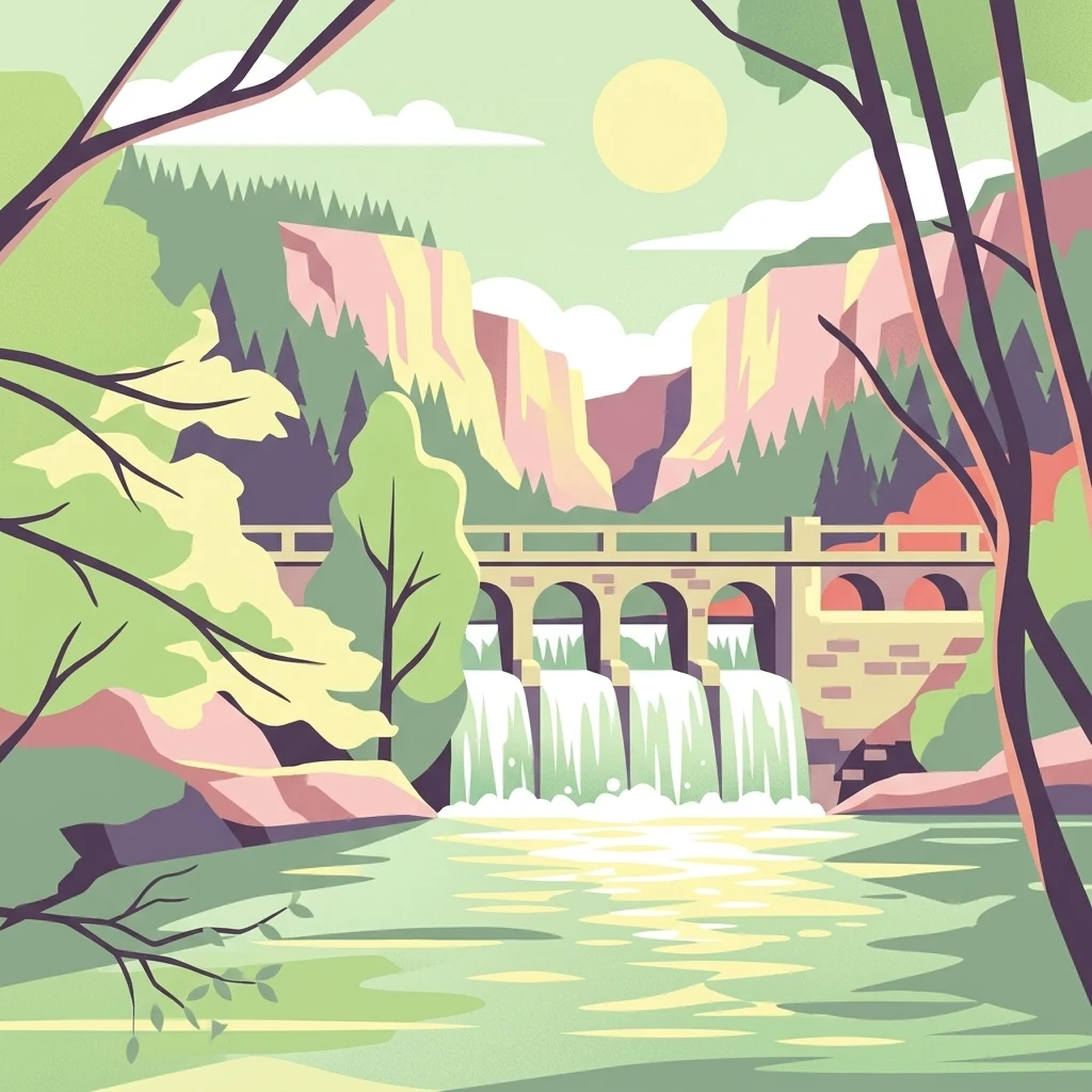
A vector illustration of a river scene featuring a stone bridge with arches acting as a dam, water cascading down, framed by trees and rocky cliffs in the background under a sun.

Réserve naturelle régionale du bois d'Encade

Nature reserve

Park overview

Structured park overview, official facts, and landscape profile for Bois d'Encade Regional Nature Reserve

Bois d'Encade Regional Nature Reserve park facts, protected area profile, and essential visitor context

Review the core facts for Bois d'Encade Regional Nature Reserve, including designation, size, terrain, visitor scale, habitats, and operating context in one park-focused overview.

About Bois d'Encade Regional Nature Reserve

The Bois d'Encade Regional Nature Reserve sits in the Hogneau valley in the Nord department, on the borderland between the Hauts-de-France agricultural plateau and the more wooded bocage country of the Avesnois. Its small area, just over two hectares, occupies a valley floor and lower slopes at roughly 83 meters of altitude, with the Hogneau river running through it. Although modest in extent, the reserve preserves a level of habitat diversity that is rare in this part of northern France, where intensive cereal agriculture has simplified much of the surrounding countryside.

The habitat structure is shaped by both natural processes and a long history of human use. Steep valley slopes carry natural woodland and the remains of ancient coppice, while a 2001 clearance of poplars opened a large, sunlit clearing close to the ruins of an old marble works (marbrerie). Numerous small quarries and abandoned walls create shaded rock faces and humid crevices that support a specialized chasmophytic flora. Together, the riverbanks, the riverside alluvial terrace, the woodland slopes, the clearings, and the quarry ruins form a tightly packed mosaic of forest, open, transitional, and rocky habitats.

The reserve's significance lies largely in its role as a refuge and a connectivity node. In a landscape dominated by cultivated fields, the Bois d'Encade functions as a biodiversity island and a strategic component in the reconstruction of ecological corridors along the Hogneau valley. It also has interpretive value, anchored by a section of the Sentier des Carriers, a 4.5-kilometer hiking trail made up of three loops, which introduces visitors to the valley's marble-working heritage as well as its natural history.

Protected status is intended not only to shield this habitat mosaic but also to address the pressures acting on it. The reserve's designation supports active management against heavy recreational use, nutrient enrichment of soils and water, and the spread of invasive species, including Japanese knotweed along the Hogneau's banks.

Quick facts and research context for Bois d'Encade Regional Nature Reserve

The Bois d'Encade Regional Nature Reserve is a 2.14-hectare regional nature reserve located in the Nord department of the Hauts-de-France region, within the communes of Bettrechies and Gussignies. It sits at around 83 meters of altitude along the Hogneau river in a valley setting known as the Vallée du Marbre.

Classified as a Réserve naturelle régionale (RNR169) on 30 June 2008, the reserve is managed by the Conservatoire d'espaces naturels du Nord et du Pas-de-Calais (now part of the Conservatoire d'espaces naturels des Hauts-de-France). It is categorized under IUCN Category IV as a habitat and species management area, and is recognized as a strategic biodiversity island in a landscape dominated by intensive cereal farming.

Protection and recognition

Review documented terrestrial protection scope and official designation records established in 2008.

Réserve Naturelle Régionale du Bois d'Encade Protection Status and Mapped Designation History

Réserve naturelle régionale du bois d'Encade maintains a documented terrestrial protection status established in 2008 within official conservation registries. Official protection records outline the formal designation history and baseline management scope for this protected area.

Protection details

Protection scope
Terrestrial
Designated year
2008
Transboundary protection
No
WDPA ID
555514386
Park context

Deeper park guide and search-rich context for Bois d'Encade Regional Nature Reserve

Bois d'Encade Regional Nature Reserve history, landscape, wildlife, and travel context

Explore Bois d'Encade Regional Nature Reserve through its history, landscape character, ecosystems, wildlife, conservation priorities, cultural context, and seasonal travel timing in a structured park guide built for atlas discovery and search intent.

Why Bois d'Encade Regional Nature Reserve stands out

The reserve is best known for protecting a small but habitat-rich fragment of deciduous woodland and riverside habitat in a heavily agricultural region of northern France. It stands out for housing two habitats of European Community interest on a tiny surface: a tall-herb megaphorb community dominated by Cirsium oleraceum, Filipendula ulmaria, and Petasites hybridus, and a chasmophyte community of ferns such as Phyllitis scolopendrium and Dryopteris filix-mas growing in the crevices of shaded quarry walls and ruins. It is also recognized for its role as a stepping stone for woodland biodiversity and as a refuge for forest birds, bats, amphibians, dead-wood invertebrates, and a notable assemblage of butterflies in an otherwise intensively cultivated landscape.
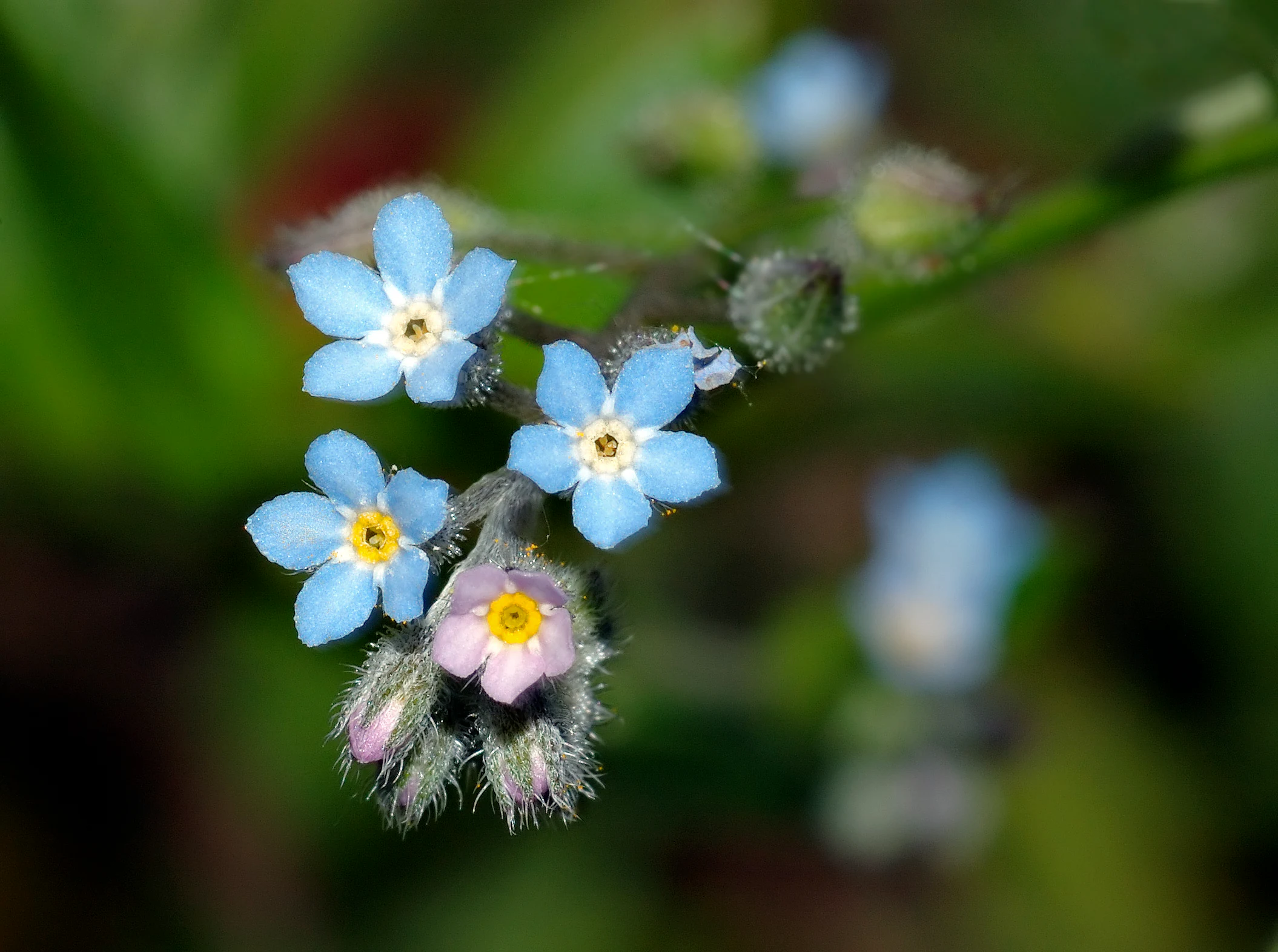
A close-up photograph of small blue flowers with yellow centers and pinkish buds on a hairy green stem against a blurred green background.
Close-up of wood forget-me-not flowers with blue petals and yellow centers.

Bois d'Encade Regional Nature Reserve history and protected-area timeline

The protection story of the Bois d'Encade begins with private initiative. In November 1999, the site's owner prepared and submitted the first application for designation as a voluntary nature reserve (Réserve naturelle volontaire, RNV) to the prefecture of the Nord. The RNV was formally approved by prefectoral order on 6 February 2001, and early management of the site was entrusted to the CPIE Bocage de l'Avesnois.

In 2002, France's loi "démocratie de proximité" (proximity democracy law) declassified all existing RNVs nationwide. This required the Bois d'Encade to go through an entirely new classification procedure. That reclassification process concluded on 30 June 2008, when the Conseil régional Nord - Pas-de-Calais formally created the present Réserve naturelle régionale (RNR169).

Day-to-day administration is handled by the Conservatoire d'espaces naturels du Nord et du Pas-de-Calais, which has since been reorganized into the broader Conservatoire d'espaces naturels des Hauts-de-France, ensuring continuity of stewardship across the region's network of small protected natural sites.

Bois d'Encade Regional Nature Reserve landscape and geographic character

The reserve occupies a compact but visually distinctive stretch of the Hogneau valley, near the village of Gussignies in an area known as the Vallée du Marbre. The valley floor sits at about 83 meters of altitude, framed by steeper slopes that rise above the river. This topography produces a sharp contrast between sheltered valley bottom and exposed upper slopes, which is reflected in the distribution of woodland, clearings, and rocky outcrops.

Quarrying has left a clear imprint on the terrain. The site contains the ruins of a former marble works and numerous small quarries whose exposed rock faces, worked walls, and rubble create structured, often shaded, rocky habitats. A large clearing opened up after poplars were cleared in 2001, introducing a sunny open zone next to the ruins and giving the valley a markedly varied light regime. The Hogneau itself, with its wooded banks, forms the third major landscape element, tying the site together as a water-framed, valley-bound mosaic rather than a uniform forest block.
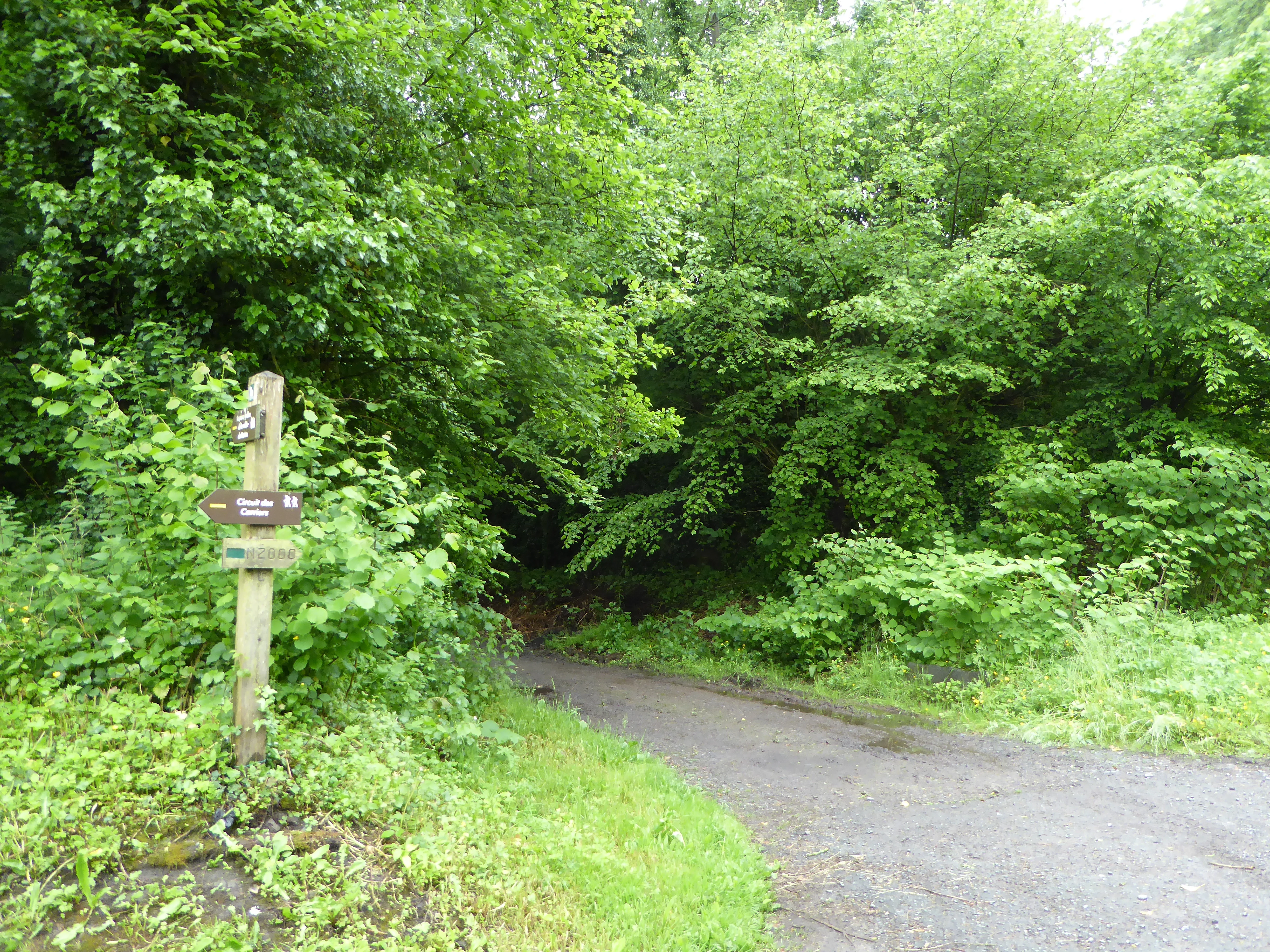
A gravel path curves into a dense green forest, with a wooden signpost bearing directional markers on the left side of the trail.
A gravel trail with a wooden directional signpost leads into the dense forest at the edge of the Bois d'Encade nature reserve.

Bois d'Encade Regional Nature Reserve ecosystems, habitats, and plant life

Ecologically, the reserve is best understood as a habitat island defined by its combination of woodland, rocky habitats, and riverside vegetation. Mature forest and ancient coppice occupy the steeper slopes, while the lower valley hosts alluvial terraces and a corridor of riverside woodland along the Hogneau. The mosaic structure means that shade-loving woodland species, light-demanding clearing species, and rock-crevice specialists all occur within a short distance of each other.

Two habitat types of European Community interest (listed under Annex I of the EU Habitats Directive) have been formally identified within the reserve, based on a botanical study by Bruno de Foucault (1995). The first is a tall-herb megaphorb community (Phalario arundinaceae - Petasitetum hybridi) characterized by large, nutrient-demanding herbs such as Cirsium oleraceum, Filipendula ulmaria, and Petasites hybridus. The second is a chasmophyte community (Asplenio trichomanis - Phyllitidetum scolopendrii) that colonizes the humid crevices of the site's walls and rock faces.

The varied microhabitats also support a striking range of supporting vegetation patterns, including woodland understory flora along the alluvial terrace of the Hogneau, rock-face and ruin flora in the damp quarry zones, and disturbed-ground vegetation in the post-poplar clearing. This layered botanical character gives the reserve an ecological depth that is unusual for its size and is the main reason for its protection.

Bois d'Encade Regional Nature Reserve wildlife and species highlights

The reserve supports a rich fauna for its size, reflecting both its woodland cover and its river corridor. More than 80 species of birds have been observed, with roughly half of these confirmed as nesting on the site. Forest and edge species, including European Kingfisher along the Hogneau, contribute significantly to this diversity.

Mammals include small woodland mammals, micromammifères, and bats such as Brandt's bat (Myotis brandtii), which roosts in the area's mature trees. Amphibians are present in the damper habitats along the stream and in shaded forest pools. The site is also rich in invertebrates, particularly insects associated with dead wood and with the river margin, where fallen timber and humid microclimates sustain specialized communities.

Lepidoptera are particularly well documented. Around twenty species of day-flying butterflies have been recorded at the site, including three taxa considered regionally rare: the Purple Emperor (Apatura ilia), the Lesser Purple Emperor (Apatura iris), and the Bath White (Pieris napi). Autumn also brings a flush of fungi, with several species associated with dead wood and mature forest conditions.

Bois d'Encade Regional Nature Reserve conservation status and protection priorities

The conservation significance of the Bois d'Encade is twofold. It preserves a habitat mosaic that has largely disappeared from the surrounding cereal plain, and it does so at a scale that allows the site to act as a stepping stone in the reconstruction of biological corridors along the Hogneau valley.

The reserve is classified under IUCN Category IV as a habitat and species management area. This designation is used in France to support targeted interventions against specific threats rather than to impose strict wilderness preservation. Active management here focuses on three pressures: over-use by visitors, eutrophication driven by agricultural runoff and visitor impacts, and biological invasion, most notably by Japanese knotweed (Reynoutria japonica / Fallopia japonica), which is expanding along the Hogneau's banks and threatening sensitive riparian species such as Chrysosplenium alternifolium. Stream bank trampling from visitors is a parallel concern, particularly for plant species growing close to the water.

By bringing these pressures under coordinated management, the reserve serves both a local function, safeguarding rare plants, bats, woodland birds, and dead-wood invertebrates, and a landscape-scale function, providing a key node in regional connectivity for forest species in an otherwise heavily modified agricultural setting.

Bois d'Encade Regional Nature Reserve cultural meaning and human context

The Bois d'Encade is intimately linked with the marble-working heritage of its valley. The broader landscape is known as the Vallée du Marbre, and the reserve itself contains the ruins of a former marbrerie (marble works), along with numerous small quarries cut into the valley sides. These structures are not just historical curiosities; they have become integrated into the reserve's ecological identity, providing shaded rock habitats that harbor specialized ferns and other crevice plants.

Local interpretive infrastructure reflects this dual heritage. The Sentier des Carriers, a roughly 4.5-kilometer loop trail made up of three connected circuits, runs through the area and links the natural and industrial history of the valley, allowing visitors to experience both the abandoned quarry landscape and its recovery into habitat. The reserve is part of the broader identity of the Avesnois bocage region and sits within the Communauté de communes du Bavaisis, anchoring a sense of place tied to small-scale industry, rural landscape, and woodland refuges.

Top sights and standout views in Bois d'Encade Regional Nature Reserve

Despite its tiny surface area, the Bois d'Encade Regional Nature Reserve stands out for the concentration and diversity of habitats it packs into a short stretch of the Hogneau valley. Its combination of mature woodland, sunlit clearings, shaded quarry ruins, and a flowing stream produces an ecological richness out of scale with its size, making it a textbook example of a small biodiversity island embedded in an agricultural matrix.

Highlights include two Annex I habitats of the EU Habitats Directive, more than 325 recorded plant species, over 80 bird species with about half breeding on site, notable bat presence including Brandt's bat, and a regionally important butterfly assemblage. The reserve is also a standout destination along the Sentier des Carriers, where industrial-archaeological heritage and natural recovery are visible within a few hundred meters of each other.

Best time to visit Bois d'Encade Regional Nature Reserve

Because the reserve is a small valley woodland and riparian site, its character shifts significantly with the seasons. Late spring is particularly rewarding for woodland ground flora, when flowering species such as Myosotis sylvatica and Corydalis solida are visible along the alluvial terrace of the Hogneau. Summer brings full canopy cover, active birdlife along the river, and the strongest visibility for the quarry-rock flora and open clearing vegetation. Early autumn is the most reliable period for fungi associated with dead wood, which form a notable component of the site's biodiversity.

Visiting should be timed outside the wettest conditions, as the quarry rocks and riverside ground are sensitive to trampling and the reserve's small size means pressure is easily concentrated. Light, dry days are ideal both for ecological appreciation and for walking the Sentier des Carriers loop.

Monthly climate preview

Long-term representative point measurements tracking monthly temperature and precipitation rhythm

Climate Normals and Annual Temperature Range for Réserve naturelle régionale du bois d'Encade

Representative coordinate records show average monthly temperatures moving between 2.48 degrees Celsius and 18.07 degrees Celsius alongside steady precipitation values across the annual cycle. Reviewing the complete twelve-month profile provides deeper analytical context for long-term climate normals across the protected area.
Annual mean10 °C
2 °C18 °C
Jan
Feb
Mar
Apr
May13°
Jun16°
Jul18°
Aug18°
Sep15°
Oct11°
Nov
Dec
Warmest month
July

18.1 °C

Coolest month
January

2.5 °C

Wettest month
December

2.6 mm/day

Driest month
April

1.5 mm/day

Park location guide

Geography guide, regional context, and park location map for Bois d'Encade Regional Nature Reserve

Bois d'Encade Regional Nature Reserve park geography, regions, and map view in France

Understand where Bois d'Encade Regional Nature Reserve sits in France through a broader geographic reading of the surrounding landscape, nearby location context, and its mapped position within the national park landscape.

How Bois d'Encade Regional Nature Reserve fits into France

France is a unitary semi-presidential republic and one of the world's largest economies. It borders Belgium, Luxembourg, Germany, Switzerland, Italy, Monaco, Andorra, and Spain, with a maritime border to the United Kingdom. The country is known for its cultural influence, art, cuisine, and political history spanning centuries.

Wider geography shaping Bois d'Encade Regional Nature Reserve in France

France is located in Western Europe. Metropolitan France extends from the Rhine to the Atlantic Ocean and from the Mediterranean Sea to the English Channel and North Sea. The country borders Belgium, Luxembourg, Germany, Switzerland, Italy, Monaco, Andorra, Spain, and has a maritime border with the United Kingdom.

Map view of Bois d'Encade Regional Nature Reserve

Use this park location map to pinpoint Bois d'Encade Regional Nature Reserve in France, understand its exact geographic position, and read its mapped placement within the surrounding landscape more clearly.

Pigeon | © OpenStreetMap contributors

Location context for Bois d'Encade Regional Nature Reserve

Hauts-de-France
Recorded earthquake history

Explore Historical Earthquake Records near Réserve naturelle régionale du bois d'Encade

Consult the historical catalogue for Réserve naturelle régionale du bois d'Encade to examine recorded seismic activity in the surrounding Hauts-de-France landscape. This MoriAtlas collection links local geography with documented earthquake events to provide a comprehensive record of regional seismicity.

Réserve naturelle régionale du bois d'Encade Earthquake History

Catalogued events

15 events

Strongest magnitude

Magnitude 5.5

Most recent event

Jul 14, 2008

This history includes earthquakes recorded inside the park or within 50 km of its borders

Visual reference collection for valley woodland habitats, rocky outcrops, and protected river corridors.

Réserve naturelle régionale du bois d'Encade Photos, Scenery, and Landscapes

Visual documentation of Réserve naturelle régionale du bois d'Encade reveals the complex terrain of its mature woodland canopy, shaded quarry walls, and riverside vegetation. Detailed imagery clarifies the protected area character and ecological diversity packed into this northern French valley landscape.

A close-up photograph of small blue flowers with yellow centers and pinkish buds on a hairy green stem against a blurred green background.

A river with calm water in the foreground flows toward a stone weir creating a small waterfall, surrounded by dense green trees and vegetation on both banks.

A gravel path curves into a dense green forest, with a wooden signpost bearing directional markers on the left side of the trail.

Park atlas

Compare surrounding regional reserves, valley woodlands, and connected conservation landscapes

Parks Near Réserve naturelle régionale du bois d'Encade and Related Protected Areas

Browsing other protected areas near Réserve naturelle régionale du bois d'Encade reveals broader ecological corridors and varied woodland terrain across the surrounding agricultural plain. Examining these adjacent natural spaces provides essential geographical context for understanding regional biodiversity islands and protected valley landscapes.
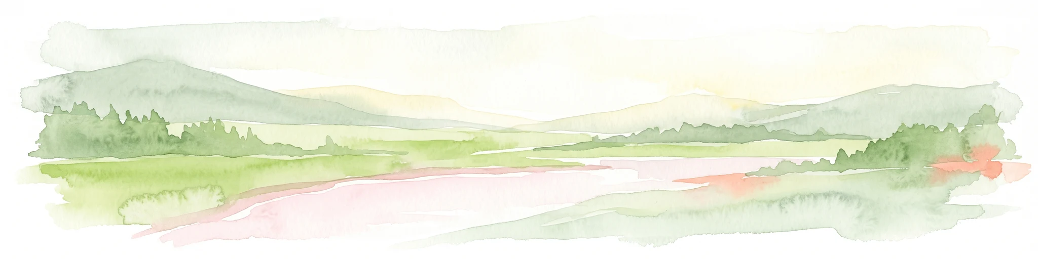
A pale, soft watercolor painting showing a rolling landscape with gentle green hills, grassy foreground, and distant hazy ridges under a white sky.
Nature reserveHauts-de-France
4.2 km away#1 closest

Southeast

Réserve naturelle régionale de la carrière des Nerviens, Protected Nature Reserve and Habitat Mosaic

Regional landscape context in Hauts-de-France, France

Spanning approximately three hectares, this nature reserve in the Hauts-de-France region serves as a dense habitat mosaic formed on former quarry lands. The site preserves regionally protected orchid species and rare plant formations through focused conservation management, offering a compelling look at post-industrial ecological succession and calcareous flora.

Area
0.031 km²
Established
2009
IUCN
IV
Relief
Lowland
Protected areaNord
9.4 km away#2 closest

West

Vallées de la Scarpe et de l'Escaut Protected Landscape Geography and Map Context

Wetland mosaic, subsidence lakes, and river floodplains in Nord

Examine the physical geography of the Scarpe and Escaut Valleys, a premier wetland site in northern France. The protected area features a mosaic of marshes, wet meadows, and mining-subsidence lakes that provide vital habitats for migratory waterbirds and support carbon storage through rare alkaline peatlands.

Area
276.22 km²
Established
2020
Relief
Lowland
Scope
Terrestrial
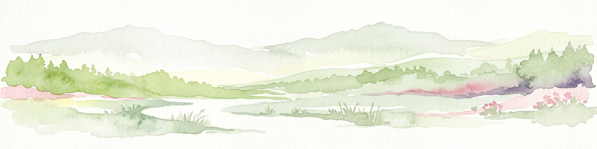
A horizontal watercolor illustration depicting rolling green hills, meadows, and a small stream or body of water.
Protected landscapeProvince de Hainaut
About 10 km away#3 closest

East

Parc naturel des Hauts-Pays: Geography and Protected Landscape Analysis

Tracing the forest corridors and river valleys of the Walloon region

Situated along the Franco-Belgian border, Parc naturel des Hauts-Pays offers a rare look at an intact bocage and forest landscape. The area is defined by the Grande Honnelle river valley, calcareous grasslands, and high-quality broadleaf woods. Its unique geographic location acts as a critical refuge for rare plant species and preserves a traditional rural identity that has survived across a complex watershed divide.

Area
157 km²
Established
2000
IUCN
V
Nature reserveHauts-de-France
14 km away#4 closest

Southeast

Réserve naturelle régionale de Pantegnies: Protected Landscape and Regional Map Overview

A managed nature reserve in the Hauts-de-France region

Réserve naturelle régionale de Pantegnies covers 37 hectares of protected terrain near Pont-sur-Sambre. This IUCN Category IV site serves as a vital anchor for regional biodiversity management, offering a clear case study in the preservation of northern French landscapes through formal regional nature reserve status.

Area
0.37 km²
Established
2013
IUCN
IV
Scope
Terrestrial
A watercolor painting showing a soft, panoramic landscape with green hills in the distance, a meandering stream in the foreground, and grassy banks with subtle pink floral highlights.
Nature reserveHauts-de-France
20 km away#5 closest

South

Réserve naturelle régionale des Prairies du Val de Sambre: Regional Nature Reserve Atlas

Wetland floodplain meadows in the middle Sambre valley

The Réserve naturelle régionale des Prairies du Val de Sambre protects essential wet grassland habitats in northern France. Spanning approximately 49 hectares along the canalised Sambre, this protected area maintains traditional meadow systems that support wetland-dependent species; it represents a key junction in the regional landscape between the Mormal forest and Thiérache bocage.

Area
0.494 km²
Established
2012
IUCN
IV
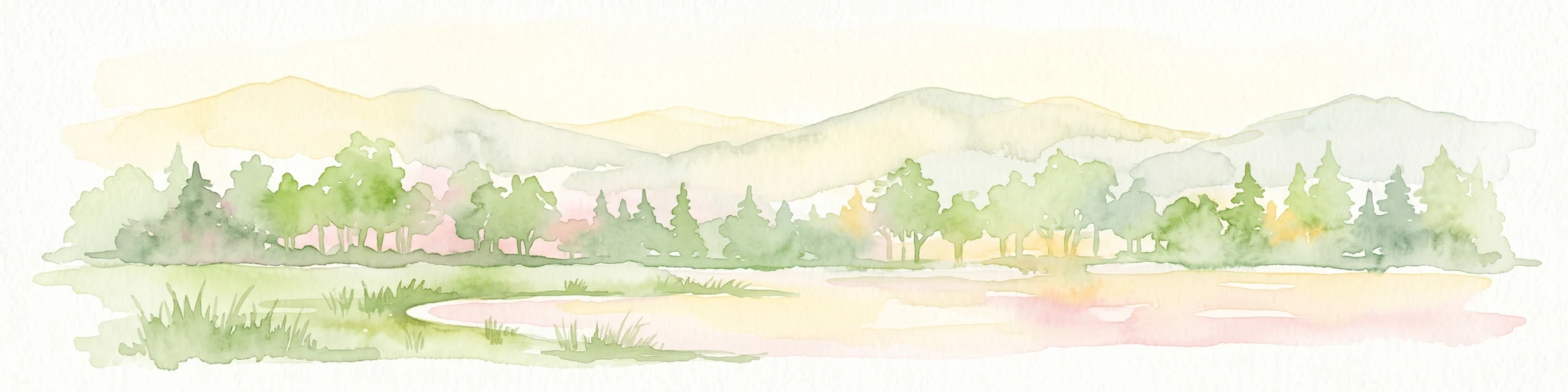
A watercolor painting of a pastoral landscape featuring a grassy foreground with a small pool of water, a line of trees, and soft hills in the background.
Protected landscapeHainaut
About 20 km away#6 closest

Northwest

Parc naturel des Plaines de l'Escaut: Geographic Overview of the Hainaut Protected Area

Scheldt valley wetlands, forested ridges, and historical landscape estates.

Located in the Hainaut province of Belgium, Parc naturel des Plaines de l'Escaut protects a complex mosaic of lowlands and heritage sites. This area integrates wetlands, heathland openings, and castle estates within a heavily humanized region. Learn about its role as a cross-border protected entity and its contribution to the pan-European ecological network through its varied terrain and water-dominated geography.

Area
465 km²
Established
1996
IUCN
V
Relief
Lowland
Protected areaHauts-de-France
About 27 km away#7 closest

Southwest

Neuvilly Protected Area: Geography, Mapped Boundaries, and Regional Landscape Context

A detailed geographic overview of protected lands in Hauts-de-France.

Gain insights into the Neuvilly protected area through detailed mapping and geographic analysis. This resource provides a clear breakdown of the site footprint and its place within the Hauts-de-France landscape, ensuring a structured understanding of its ecological boundaries and regional significance for mapping and environmental study.

Area
0.193 km²
Established
1990
Climate
Temperate
Scope
Terrestrial
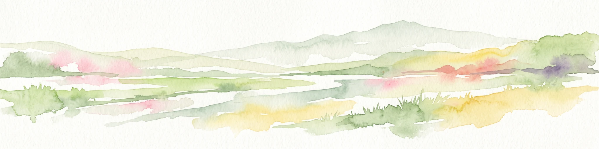
Watercolor painting of a soft, hazy landscape featuring low hills in the background and marshy wetlands in the foreground with pastel shades of green, yellow, and soft pink.
Nature reserveHauts-de-France
About 35 km away#8 closest

West

Réserve naturelle régionale du pré des Nonnettes: Regional Nature Reserve and Wetland Atlas

Alluvial marshland and hay meadow terrain in the Hauts-de-France

The Réserve naturelle régionale du pré des Nonnettes preserves a rare wet hay meadow habitat within the Marais du Vivier. Located in the lower Scarpe river valley, this nature reserve integrates marshy ground, ponds, and riparian woods to support a concentrated mosaic of wetland biodiversity. MoriAtlas provides detailed geographic context for this protected site and its significance within the larger Hauts-de-France wetland conservation network.

Area
0.173 km²
Established
2008
IUCN
IV
Relief
Lowland

Common questions about visiting, size, designation, and location context for Bois d'Encade Regional Nature Reserve

Bois d'Encade Regional Nature Reserve FAQs for park facts, access, geography, and protected area context

Find quick answers about Bois d'Encade Regional Nature Reserve, including protected-area facts, park geography, trail and visitor context, and how the park fits into its surrounding country and regional landscape.
MoriAtlas Explorer

Continue Your Protected Areas Search Across the Global Atlas

Deepen your exploration by continuing the structured search for national parks and protected areas worldwide. Utilize the comprehensive filtering capabilities to compare different conservation landscapes and refine your understanding of global park geography. Discover more about the distribution and characteristics of protected natural areas.

Global natural geography