
Rivers
Park geography
Mapping the natural landscape, elevation range, and river systems within San Martin
Rio Abiseo National Park: A Comprehensive Geographic Profile of Boundaries and Terrain
The geography of Rio Abiseo National Park encompasses a diverse 2745 square kilometer expanse within the San Martin Region of Peru. This structured profile details the vertical relief from 350 to 4200 meters, identifies key hydrological features including the Rio Abiseo and Rio Montecristo, and examines the composition of its mountain and forest terrains.
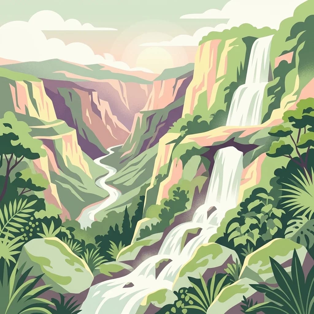
Ancient mountain stronghold of the Chachapoyas civilization
Rio Abiseo National Park
Rio Abiseo National Park is a vast protected area spanning approximately 2,745 square kilometers in the San Martín Region of northeastern Peru. The park occupies a dramatic landscape where the Marañón and Huallaga river systems converge, protecting some of the most ecologically diverse terrain in the Andes. Established in 1983 and recognized as a UNESCO World Heritage Site in 1990, the park is distinguished by its remarkable combination of ecological significance and archaeological importance, preserving both pristine wilderness and the remnants of a pre-Columbian civilization. The protected area encompasses three distinct ecoregions, ranging from humid lowland forests through cloud-draped montane zones to high-altitude páramo grasslands, creating a vertical mosaic of habitats that supports extraordinary biodiversity.
- Location
- Peru
- Park type
- National park
- Established
- 1983
- Area
- 2,745.2 km²
Location overview
Country and regional placement within Peru and the Huicungo District
Geographic Positioning and Region of Rio Abiseo National Park
Rio Abiseo National Park is located in Peru, specifically within the San Martín Region and Huicungo District. Administrative records verify a continental, single-country inland park containing no coastal or marine borders.
- Countries
- Peru
- Regions
- Huicungo District, San Martín Region
- Primary location
- San Martín Region
- Geographic setting
- Inland
Boundary and coordinates
Rio Abiseo’s mapped protected extent spans 2,745.2 km²
Rio Abiseo National Park mapped boundary and 2,745.2 km² area
Rio Abiseo National Park has one stored polygon measuring 2,743.293 km² and a separate terrestrial park-fact area of 2,745.2 km²; Land allocation and perimeter are absent. The close but nonidentical figures are kept separate so readers can distinguish the mapped geometry from the entity-level area rather than treating either value as an exact substitute for the other.
- Boundary area
- 2,743.3 km²
- Boundary perimeter
- 326 km
- Northernmost point
- 7.3987° S
- Southernmost point
- 8.0662° S
- Easternmost point
- 76.9111° W
- Westernmost point
- 77.5382° W
- Geographic centre
- 7.7261° S, 77.2293° W
- North–south span
- 73.8 km
- East–west span
- 69.2 km
Elevation and terrain
Mountain relief metrics and recorded natural features
Rio Abiseo National Park Terrain and Elevation Range
Recorded elevation spans from three hundred fifty meters to four thousand two hundred meters across mountain terrain. Linked feature cards provide names, types, measurements, and spatial relationships within the landscape.
Elevation span
3,850 m
Vertical extent from the lowest to the highest recorded elevation in the park
- Minimum elevation
- 350 m
- Maximum elevation
- 4,200 m
Selected named natural features
Lakes
Laguna Chúcara
Rivers
Rio Montecristo
Cave entrances
Cueva de los Muertos
Streams
Río Mishollo
Lakes
Laguna La Empedrada
Environmental setting
Stored tropical forest habitats, mountain relief, and forest cover profiles
Rio Abiseo National Park Environmental Classifications and Physical Setting
Recorded landscape features, habitat types, and climatic indicators function as complementary ways to interpret the physical setting of Rio Abiseo National Park. Associated classifications connect recorded environmental categories directly to related protected area destinations within the atlas.
- Relief
- Mountain
- Climate
- Tropical
- Water
- Minor water
- Forest cover
- Mostly forested
- Seasonality
- Year-round
Landscape features
Mountains · Forest · Rivers · Cliffs
Habitat types
Tropical forest · Montane forest · Boreal forest · Grassland · Riverine habitat
Park atlas
Compare other protected areas, tracing their geographic context across the Peruvian Andes.
Discover Related National Parks and Protected Areas Near Rio Abiseo National Park
After exploring Rio Abiseo National Park, you can browse a curated list of nearby national parks and other protected areas, identifying their positions within the diverse Andean terrain of Peru. Continue your geographic discovery by comparing regional conservation landscapes and understanding the wider spread of protected zones beyond Rio Abiseo, a critical UNESCO World Heritage site.

National parkPeru
41 km away#1 closest
East

Cordillera Azul National Park: A National Park for Geographic Discovery in Peru
Explore Peru's protected landscape and regional map context.
Cordillera Azul National Park serves as a dedicated entry point for understanding Peru's protected natural areas through a geographic lens. This park's identity is tied to its specific mapped boundaries and its contribution to the nation's diverse terrain. Focusing on Cordillera Azul National Park allows for detailed atlas exploration of its unique landscape context within western South America, providing factual data for geographic understanding.
- Area
- 13,531.9 km²
- Established
- 2001
- IUCN
- II
- Relief
- Mountain

National parkAncash
85 km away#2 closest
South
Huascarán National Park
Explore the mapped boundaries of this significant national park.
Huascarán National Park, in Ancash, Peru. Landscapes: mountains, valleys, and plateaus.
- Area
- 3,400 km²
- Established
- 1975
- IUCN
- II
- Relief
- Mountain
Wildlife reserveCajamarca Region
85 km away#3 closest
West
Sunchubamba Game Reserve: Geographic Overview of Protected Andean Landscapes in Northern Peru
Examining dry forest ecosystems and managed habitat in the Cajamarca Region
Explore the unique environmental footprint of Sunchubamba Game Reserve, a protected area in northern Peru characterized by its blend of native dry forests and non-native tree plantations. This record details the reserve as a historical hacienda site that now serves as an important study in land-use, wildlife management, and the evolution of Andean highland conservation practices.
- Area
- 597.35 km²
- Established
- 1977
- IUCN
- VI
- Relief
- Mountain
Nature reserveSan Martin
135 km away#4 closest
North
Alto Mayo Protection Forest: Geographic Boundaries and Andean Slope Landscape Mapping
Protected watershed and cloud forest in San Martin, Peru
Spanning the eastern Andes, Alto Mayo Protection Forest functions as a foundational watershed for the Mayo River basin. This reserve preserves significant cloud forest habitats and high-gradient terrain, serving as an important link between Andean highlands and the Amazonian lowlands. Study the topographic features, hydrological network, and protected boundaries that define this crucial Peruvian wilderness.
- Area
- 1,820 km²
- Established
- 1987
- IUCN
- VI
- Relief
- Mountain
Wildlife reserveCajamarca
180 km away#5 closest
Northwest
Bosques Nublados de Udima Wildlife Refuge: Protected Andean Cloud Forest and River Basin
A critical mountain reserve in the Cajamarca region of northern Peru.
Situated on the dramatic western slopes of the Andes, Bosques Nublados de Udima Wildlife Refuge protects 12,183 hectares of cloud forest ecosystem. The reserve is characterized by a sharp vertical gradient dropping over 1,000 metres toward the Zaña River basin, preserving both rare Amazonian-linked plant species and significant pre-Columbian archaeological irrigation structures.
- Area
- 121.83 km²
- Established
- 2011
- IUCN
- IV
- Relief
- Mountain
National parkHuánuco Region
190 km away#6 closest
Southeast
Tingo María National Park: National Park Protected Landscape in Huánuco Region, Peru
Atlas exploration of park boundaries and regional geography.
Investigate Tingo María National Park, a key protected area situated in the Huánuco Region of Peru. This national park designation signifies its importance for understanding the country's natural landscapes and mapped geography. Explore its protected territory and discover its place within the regional atlas.
- Area
- 47.778 km²
- Established
- 1965
- IUCN
- II
- Relief
- Mountain

National parkCajamarca Region
201 km away#7 closest
Northwest
Cutervo National Park: Peru's Oldest National Park Atlas and Protected Landscape
Andean Montane Forests and Mapped Geography of a Pioneering Protected Area
As Peru's oldest national park, established in 1961, Cutervo National Park offers a unique glimpse into the protected geography of the northern Peruvian Andes. Located in the Cajamarca Region, it preserves diverse Andean montane forests and páramo grasslands across a significant elevation gradient from 1,550 to 3,500 meters. This page details the park's landscape, including its role as a headwater conservation area and its position within a critical South American ecoregion, providing rich context for geographic and protected-area exploration.
- Area
- 82.14 km²
- Established
- 1961
- IUCN
- II
- Relief
- Mountain
Protected areaCajamarca Region
212 km away#8 closest
Northwest
Pagaibamba Protection Forest: Geography and Protected Area Landscape Analysis
Highland Watershed Protection in the Cajamarca Andes
Pagaibamba Protection Forest represents a key protected land entity in northern Peru. Focused on maintaining the local water cycle, the area showcases dense cloud forest vegetation and steep Andean terrain. Use this mapping data to analyze its ecological boundaries, watershed significance, and regional landscape context in the Cajamarca department.
- Area
- 20.784 km²
- Established
- 1987
- IUCN
- VI
- Relief
- Mountain
MoriAtlas Explorer
Continue Exploring Rio Abiseo National Park's Protected Landscape Geography
Deepen your understanding of Rio Abiseo National Park by tracing its protected boundaries and exploring its unique geographic setting within the San Martín Region. This park offers valuable insights into Peru's natural landscapes and contributes to a structured atlas of conservation areas, encouraging further map-based geographic discovery.
Browse next
Global natural geography
Explore related park routes
Explore MoriAtlas Global ParksBrowse All MoriAtlas ParksGlobal Park Map DiscoveryMoriAtlas: Browse All CountriesBrowse All MoriAtlas ContinentsNational Park Environment AtlasGrand Canyon National Park AtlasYellowstone National Park AtlasYosemite National Park Atlas and GeographySerengeti National Park AtlasGalápagos National Park Protected LandscapeBanff National Park Geography and AtlasKruger National Park Atlas EntryExplore Uluru-Kata Tjuta National Park GeographyPlitvice Lakes National Park AtlasFiordland National Park Protected LandscapeGreat Smoky Mountains National Park AtlasZion National Park Protected Landscape AtlasAfghanistan National Parks and Protected AreasAlbania National Parks and Protected AreasAlgeria National Parks and Protected AreasAmerican Samoa National Parks and Protected AreasAndorra National Parks and Protected AreasAngola National Parks and Protected AreasAntarctica National Parks and Protected AreasAntigua and Barbuda Park List