Mori Atlas logo
Park earthquake history

A curated collection of recorded seismic events mapped by proximity to forest boundaries

Historical Earthquake Records and Seismic Activity Near Roosevelt National Forest in Colorado

Explore a factual catalogue of recorded earthquakes occurring within the vicinity of Roosevelt National Forest in the Colorado Front Range. Each entry provides event timing, recorded magnitude, and focal depth data sourced from standard geological surveys to offer a regional perspective on seismic history. This collection organizes historical records by their calculated distance from the protected landscape to assist in understanding the regional seismic context.

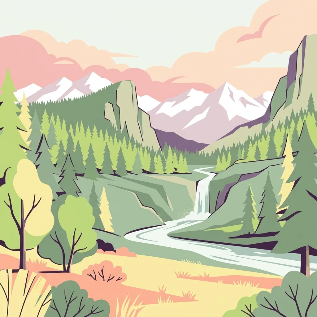
A flat vector illustration showing a river flowing through a forested mountain valley with a waterfall in the distance under a pastel sky.

A Front Range national forest of foothills, canyons, and high-country wilderness along the Colorado Continental Divide.

Roosevelt National Forest

Roosevelt National Forest is a United States national forest in north central Colorado, spanning the eastern foothills of the Front Range and reaching up toward the Continental Divide. It lies in Larimer and Boulder counties, with smaller extensions into Gilpin and northwestern Jefferson counties, and forms a broad forested buffer along the north and east sides of Rocky Mountain National Park. The forest is notable for its mix of accessible foothill country and protected high-country wilderness. It contains parts of the Cache la Poudre and Big Thompson river corridors, and is home to six designated wilderness areas, including Comanche Peak, Rawah, and Indian Peaks. Managed jointly with Arapaho National Forest and Pawnee National Grassland under the U.S. Forest Service's ARP unit, Roosevelt National Forest provides a major western gateway into the Colorado Rockies.

Location
United States of America
Park type
Protected landscape
Established
1902
Area
3,293.3 km²
Roosevelt National Forest Protected Landscape Atlas

Search Roosevelt National Forest events by depth and distance

Explore historical earthquakes around Roosevelt National Forest

The Roosevelt National Forest catalogue positions earthquake reports relative to the Front Range and Continental Divide through epicentre coordinates and measured separation. Each record supplies chronology, magnitude, depth, reported place, park distance, and source access for regional analysis without treating mountain proximity as proof of causation, forest impact, boundary occurrence, or present hazard.

Sort by
Magnitude
Location

This page describes catalogued earthquakes associated with the park by epicentre location and distance. It does not establish causation, assess current danger, or predict future earthquakes.

No earthquake records match the current filters

Park atlas

Move beyond Roosevelt National Forest earthquake observations

Browse other protected destinations from Roosevelt National Forest

Roosevelt National Forest earthquake observations transition to an independently chosen range of parks and protected places. Their appearance does not imply similar forests, management status, ecosystems, geology, seismic patterns, nearness, hazard exposure, risk, or equal documentation.
A watercolor painting of a mountain landscape featuring a small lake, grassy slopes, and conifer trees with a prominent rocky peak in the distance.
Wildlife reserveColorado
Park boundaries overlap#1 closest

South

Indian Peaks Wilderness: Alpine Geography and Front Range Protected Landscapes

Mapping high country summits and glacial basins in Colorado

Indian Peaks Wilderness stands as a signature wildlife reserve along the Colorado Continental Divide. This atlas entry focuses on its complex system of thirteen-thousand-foot peaks, relict glaciers, and interconnected alpine lakes that define the Front Range. Gain insight into the protected boundaries and glacial geomorphology that characterize this high-country landscape near the Denver metropolitan region.

Area
310.44 km²
Established
1978
IUCN
Ib
Relief
Mountain
National parkColorado
Park boundaries overlap#2 closest

South

Rocky Mountain National Park: National Park Protected Landscape in Colorado

Explore its mapped boundaries and regional geographic context.

Rocky Mountain National Park is a designated National Park within Colorado, crucial for understanding the distribution and geographic context of protected areas in the United States. This detail page provides an atlas-oriented perspective, emphasizing the park's mapped boundaries and its place within the natural landscape of the region. It is designed to facilitate a clear understanding of the park's protected status and its contribution to the atlas of natural landscapes, offering factual insights for geographic discovery.

Area
1,074.28 km²
Established
1915
IUCN
II
Visitors
4.2M annual
Protected landscapeGrand County
1.2 km away#3 closest

South

Arapaho National Recreation Area: Geographic Profile and Protected Landscape Context

High-country mountain reservoirs and forested mountain terrain

The Arapaho National Recreation Area defines a unique intersection of montane forest and water-based geography in Grand County, Colorado. As the home to the Great Lakes of Colorado, this protected landscape provides a critical connection point between the Colorado River headwaters and the Continental Divide. Examine the park's terrain, reservoir distribution, and its role as a forested gateway to the neighboring mountain regions.

Area
124.2 km²
Established
1978
Relief
Mountain
Climate
Alpine
A watercolor painting showing a panoramic view of mountain peaks in the background behind a forest landscape, set against a white background.
Wildlife reserveColorado
About 1.7 km away#4 closest

South

James Peak Wilderness: Geographic Profile and Protected Landscape Mapping

High elevation terrain in the Colorado Rockies

James Peak Wilderness provides a critical protected landscape featuring dramatic alpine summits, U-shaped glacial valleys, and subalpine meadows. Its geographic structure forms an essential ecological link along the Colorado Front Range, characterized by high-elevation peaks, dense coniferous forests, and diverse tundra ecosystems situated immediately east of the Continental Divide.

Area
68.86 km²
Established
2002
IUCN
Ib
A horizontal watercolor painting showing a soft mountain range in the distance, a midground forest, and a foreground area suggesting marshy ground or a meadow.
Wildlife reserveColorado
4 km away#5 closest

Southwest

Never Summer Wilderness: Protected Mountain Geography and Alpine Terrain in Colorado

High-altitude wilderness along the Continental Divide

Spanning over 21,000 acres, the Never Summer Wilderness defines a critical segment of the Colorado Rockies. This protected area features a jagged skyline of 12,000-foot summits, extensive alpine tundra, and the remarkable old-growth spruce and fir forests of Bowen Gulch. Use these maps to understand its role as a vital headwater landscape and its position as a sanctuary for alpine wildlife and ecosystems.

Area
85.3 km²
Established
1980
IUCN
Ib
Relief
Mountain
A horizontal watercolor painting depicting a winding river flowing through a green valley with purple-tinted mountain ranges in the background.
Wildlife reserveWyoming
12 km away#6 closest

Northwest

Platte River Wilderness: Geography and Protected Landscape Atlas

Mapping wild river corridors and mountain forest terrain across Wyoming and Colorado.

Platte River Wilderness preserves a vital stretch of the North Platte River, carving through mountain ranges with steep canyon walls and rocky gorges. The terrain offers a distinct profile of conifer forests and shifting river landscapes. This protected area stands as a primary example of wilderness administration, managing complex river-based topography and regenerating mountain habitat for regional wildlife populations.

Area
95.07 km²
Established
1984
IUCN
Ib
Relief
Mountain
A watercolor painting showing purple and white mountain peaks rising above green rolling hills and meadows in a wide panoramic format
Protected areaColorado
20 km away#7 closest

South

Mount Evans Wilderness: Alpine Landscapes and Protected Geography in Colorado

Glacial cirques and high-altitude wilderness ecosystems.

Mount Evans Wilderness offers a premier look at the Colorado Front Range, defined by its dramatic relief, sheer cliff lines, and extensive glacial history. This entry examines the wilderness as a protected zone that transitions from montane forests to tundra, providing a reference for high-elevation mountainous geography within the United States.

Area
301.09 km²
Established
1980
IUCN
Ib
Relief
Mountain
A soft watercolor illustration depicting a simplified, layered landscape of rolling hills and distant mountains in shades of light green, pale yellow, and soft pink.
Protected areaColorado
26 km away#8 closest

South

Pike National Forest: Protected Mountain Landscapes and Regional Geography in Central Colorado

Granite peaks, montane forests, and diverse alpine terrain

Spanning from the rolling foothills of the Front Range to the high alpine summits of the Rocky Mountains, Pike National Forest is a significant protected area defined by its unique Pikes Peak granite bedrock and deep river-carved canyons. This analysis provides a structured look at its expansive wilderness boundaries, drainage basins, and the vertical transitions that characterize this vital central Colorado highland.

Area
4,478.27 km²
Established
1892
Relief
Mountain
Climate
Alpine
MoriAtlas Explorer

Continue Exploring the Roosevelt National Forest Protected Landscape

Deepen your understanding of this significant Colorado mountain corridor through our structured atlas approach. Map the boundaries of its six wilderness areas, trace its alpine river valleys, and explore the geographic context of the northern Front Range with MoriAtlas.