Why Roosevelt National Forest stands out
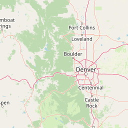
Roosevelt National Forest is best known for the forested canyons and alpine wilderness of the northern Front Range, including the upper Cache la Poudre and Big Thompson river valleys. It is also recognized for containing or sharing major wilderness areas such as Rawah, Comanche Peak, Indian Peaks, Cache La Poudre, James Peak, and Neota.
Roosevelt National Forest history and protected-area timeline
Roosevelt National Forest traces its origins to May 22, 1902, when its lands were first protected as part of the Medicine Bow Forest Reserve.
In 1910, the area was renamed the Colorado National Forest, reflecting a more state-based identity. In 1932, it was renamed again to honor President Theodore Roosevelt, a figure associated with the early conservation movement and the expansion of the national forest system. The forest's namesake legacy reflects the broader early-twentieth-century effort in the United States to set aside forested mountain landscapes for long-term public protection and use.
Today, volunteer organizations such as the Poudre Wilderness Volunteers partner with the U.S. Forest Service to assist with stewardship of the forest, particularly within its wilderness areas. This volunteer tradition reflects the long-standing role of community involvement in maintaining Roosevelt National Forest's trails, signage, and backcountry character.
Roosevelt National Forest landscape and geographic character
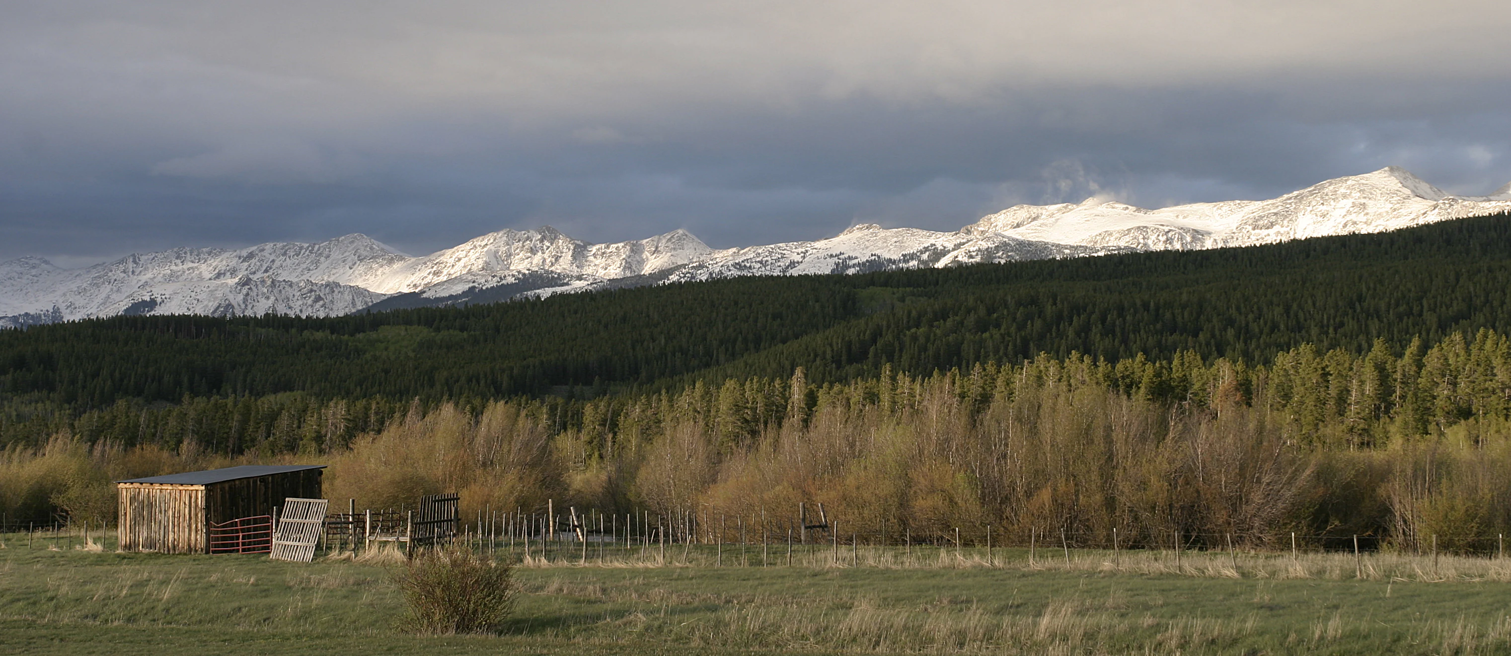
Roosevelt National Forest spans a wide elevation gradient on the eastern slope of the Colorado Rockies, beginning in rolling foothills and rising through montane canyons up to alpine ridges near the Continental Divide. The terrain is shaped by glaciated valleys, steep canyon walls, and forested plateau sections that create a layered scenic experience.
The upper Cache la Poudre River valley and the Big Thompson valley cut deep, scenic corridors through the forest. Poudre Canyon in particular offers a continuous forested setting along a mountain river, while the eastern fringes of the forest near Estes Park provide a softer transition into the high country. Smaller parts of the forest reach into northern Gilpin and northwestern Jefferson counties, tying it into the broader Front Range landscape.
The forest's high country is shaped by granite ridges, glacial cirques, and open alpine meadows. Wilderness areas such as Rawah, Comanche Peak, and Indian Peaks preserve some of the most rugged terrain in the northern Front Range, while the Cache La Poudre and James Peak wildernesses protect narrower but ecologically important mountain corridors along the forest's edges.
Roosevelt National Forest ecosystems, habitats, and plant life
Roosevelt National Forest captures a textbook Front Range ecological sequence, from lower foothill woodlands through montane conifer forests into subalpine and alpine zones on the upper slopes. The forest's vegetation patterns reflect both elevation and moisture, with drier ponderosa and mixed-conifer stands in the foothills giving way to denser spruce-fir forest higher up.
The canyon corridors along the Cache la Poudre and Big Thompson rivers support distinctive riparian environments, with cottonwoods, willows, and other streamside vegetation contrasting against the surrounding conifer slopes. These river valleys also create important habitat connectivity between lower and higher elevation zones.
Above treeline, the wilderness portions of the forest include alpine tundra, exposed rock, and high meadows characteristic of the Colorado Rockies. This elevation layering produces strong ecological diversity across a relatively compact geographic footprint, and the wilderness designations help preserve the most sensitive high-country habitats from extensive development.
Roosevelt National Forest wildlife and species highlights
The mix of foothill canyons, montane forest, and alpine terrain makes Roosevelt National Forest habitat for a wide range of Colorado wildlife. Elk, mule deer, and black bear are commonly associated with the forest, particularly in the more remote and rugged wilderness portions, and the area's river corridors support beaver and other riparian-dependent species.
The Cache la Poudre River and Big Thompson corridors, along with their tributaries, host trout and other freshwater species, and they attract nesting and foraging birds in the streamside vegetation. The forest's varied elevations also provide habitat for raptors and smaller forest bird species that thrive in the mixed-conifer and spruce-fir zones.
In the high country, the designated wilderness areas such as Rawah and Comanche Peak support sensitive alpine and subalpine wildlife, including species adapted to harsh mountain winters. These wilderness zones function as important refuges, limiting human disturbance in the forest's most ecologically fragile terrain.
Roosevelt National Forest conservation status and protection priorities
Roosevelt National Forest plays a significant conservation role as a large, contiguous block of protected forest on the eastern slope of the Colorado Rockies. Its position alongside Rocky Mountain National Park, Arapaho National Forest, and the Colorado State Forest reinforces a landscape-scale conservation corridor that helps preserve habitat connectivity across the northern Front Range.
Six designated wilderness areas within or partially within the forest, including Cache La Poudre, Comanche Peak, Indian Peaks, James Peak, Neota, and Rawah, provide a higher tier of protection for some of the forest's most ecologically valuable terrain. Indian Peaks is especially notable for extending into National Park Service land, demonstrating the close integration of Forest Service and Park Service conservation efforts in this part of Colorado.
In addition to formal wilderness designation, the forest benefits from active volunteer stewardship and a long history of river and watershed protection, particularly along the Cache la Poudre, one of Colorado's iconic wild and scenic river systems. The combination of wilderness status, adjacent park lands, and engaged community partnerships gives Roosevelt National Forest substantial conservation weight beyond its administrative boundaries.
Roosevelt National Forest cultural meaning and human context
The Cache la Poudre River valley carries a distinctive cultural identity rooted in early Colorado history, with the river's name itself reflecting French-era and fur trade-era influences on the Front Range. Homesteading, ranching, and irrigation traditions have shaped human presence in the lower valleys and foothills that fringe the modern forest.
Recreational traditions in the Roosevelt National Forest area are long-standing, with hiking, camping, climbing, and river-based recreation drawing visitors from northern Colorado communities such as Fort Collins, Boulder, and Estes Park. Volunteer organizations like the Poudre Wilderness Volunteers also reflect a present-day culture of community-led stewardship that has become part of the forest's modern social identity.
Top sights and standout views in Roosevelt National Forest
Roosevelt National Forest's strongest points of distinction are its elevation diversity, its deep canyon river corridors, and its concentration of designated wilderness along the eastern slope of the Continental Divide. The forest is a key gateway between Colorado's populated Front Range communities and the high country of Rocky Mountain National Park.
The presence of six wilderness areas within or partially within its boundaries gives the forest unusually strong formal protection for an area of its size, and its joint administration with Arapaho and Pawnee under the ARP framework creates a unified management approach across a large landscape. The Cache la Poudre corridor, in particular, combines scenic, recreational, and conservation value in a way that few other national forest settings match in Colorado.
Best time to visit Roosevelt National Forest
Roosevelt National Forest experiences cold, snowy winters and mild summers typical of the Colorado Front Range, with the highest elevations remaining snow-covered well into spring. Summer and early fall are generally the most accessible and visually rewarding times, when lower-elevation trails, canyon roads, and river corridors are most fully open and the high country begins to thaw.
Late spring runoff makes the Cache la Poudre and Big Thompson river corridors especially dynamic, while autumn brings cooler temperatures and changing vegetation color in the mid-elevation forests. Winter visitors can experience a quieter, snow-focused landscape, particularly in the Canyon Lakes area, though access to higher elevations and wilderness zones becomes more limited.